Plizio Visual Lab
Paama Highlands

Weather…
Water temperature…
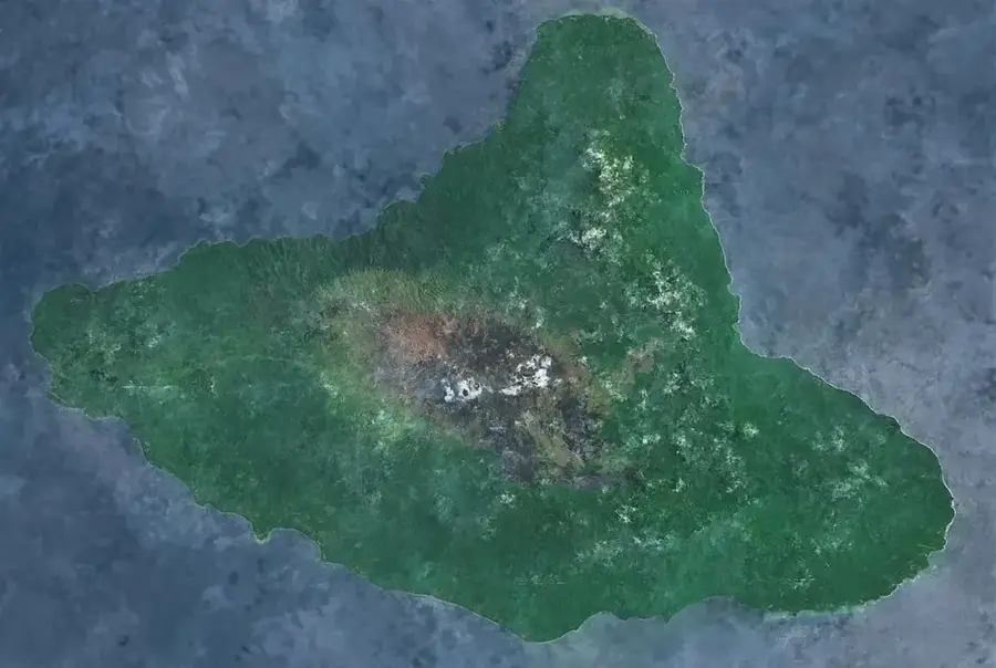
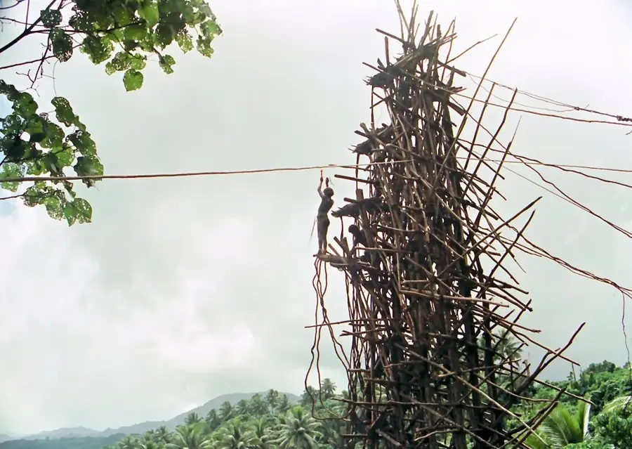
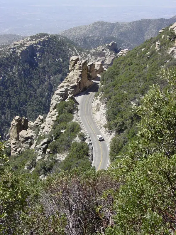
The Paama Highlands cover the rugged interior of Paama Island, a small but geologically significant landmass located between the larger volcanic centers of Ambrym and Epi. The landscape is defined by sharp volcanic ridges and deep ravines carved by centuries of tropical weathering and tectonic uplift. Because of its location in a highly active volcanic corridor, the highland soil is enriched with volcanic ash, creating fertile conditions for the traditional gardens maintained by the local population. These gardens primarily produce root crops like taro and yams, which are staples of the island's diet. From the higher elevations of the plateau, hikers can gain spectacular views of the nearby Lopevi volcano, one of the most active and perfectly conical peaks in the Pacific. The vegetation consists of dense secondary rainforest that provides a crucial habitat for native birds away from coastal disturbances. Water management is a key issue in the highlands, as the porous volcanic rock prevents the formation of surface streams, necessitating the use of rainwater harvesting. The Paama Highlands continue to be the backbone of the island's subsistence economy and a testament to human adaptation in a dynamic volcanic environment.
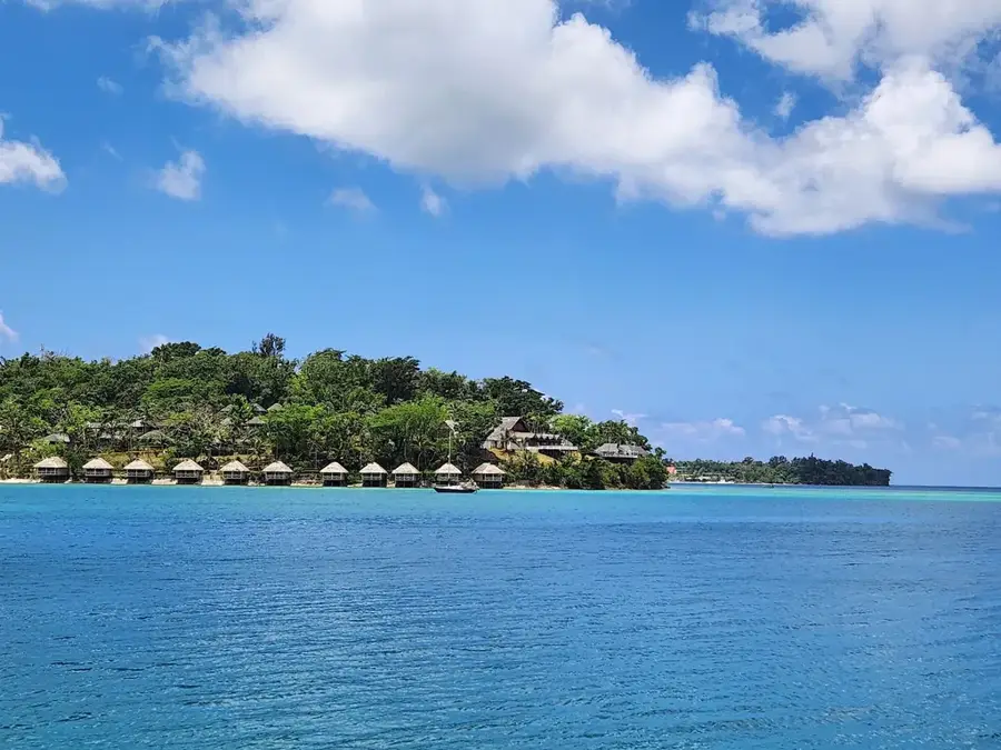
- Location: Vanuatu
- Top sights: Tevali Presbyterian Church · Tevali SDA Mission · AOG Church
- Nearby: Fanla Village (38 km)
Best time to visit & climate
The most pleasant time to visit is Jul–Sep.
| Jan | Feb | Mar | Apr | May | Jun | Jul | Aug | Sep | Oct | Nov | Dec | |
|---|---|---|---|---|---|---|---|---|---|---|---|---|
| Avg °C | 28 | 28 | 28 | 27 | 26 | 26 | 25 | 25 | 25 | 26 | 26 | 27 |
| Rain mm | 215 | 214 | 238 | 246 | 143 | 121 | 81 | 76 | 82 | 124 | 140 | 164 |
📋 Practical info
Geography
Facts
- The maximum elevation in the Paama Highlands is approximately 550 meters.
- The island is located only 2.5 kilometers from the highly active Lopevi volcano.
- The soil composition is primarily basaltic rock and layers of volcanic ash.
- Highland gardens are the main source of food, specializing in taro and yams.
- Surface water is scarce because the volcanic terrain is extremely porous.
- The steep interior ridges provide natural protection against regional tsunamis.
Explore nearby
Notable places around
Route planner — Car & Motorhome
Where do you start? We build the route here, with stops and country notes along the way.
© OpenStreetMap contributors · OpenRouteService
Frequently asked questions
What is Paama Highlands known for?
Is it suitable for hiking?
Is there a risk of landslides?
Are there tourist centers there?
How should one behave?
Paama Highlands: where is it located?
Paama Highlands: what is there to see?
Paama Highlands: when is the best time to visit?
Paama Highlands: why is it worth visiting?

Nearby cities


History & landmarks

Nature
More places