Plizio Visual Lab
Mount Marum
Weather…
Water temperature…
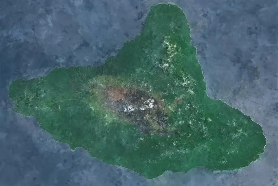
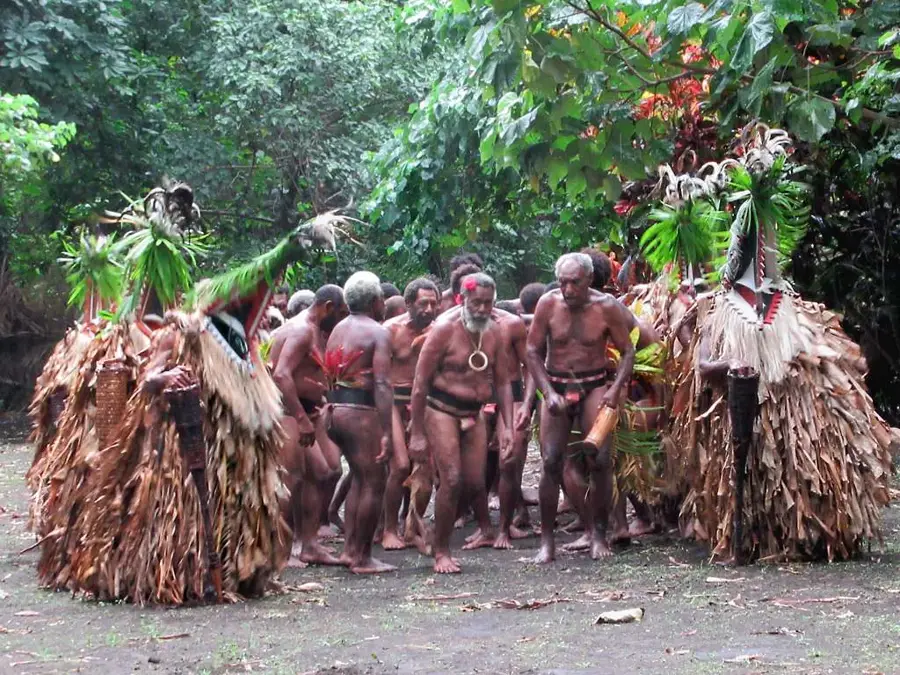
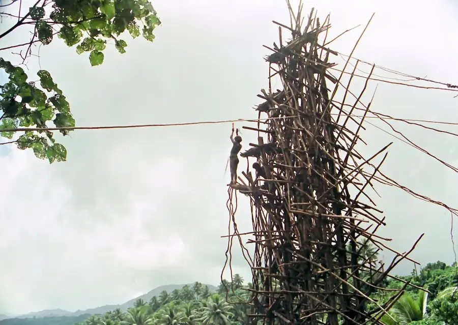
Mount Marum is one of the two massive active volcanic cones situated within the vast 12-kilometer-wide caldera on Ambrym Island. It is world-famous for its persistent lava lake, which churns deep within its crater, providing one of the most spectacular geological displays on Earth. The Ambrym caldera is a desolate, ash-covered wasteland from which the cones of Marum and Benbow rise as dominant features. Climbing Mount Marum is considered one of the most challenging expeditions in Vanuatu, as trekkers must navigate extreme heat, toxic gases, and unpredictable weather conditions. Scientists frequently use the volcano as a natural laboratory to study lava lake dynamics and gas emissions that impact the regional atmosphere. For the local people of Ambrym, the volcano is central to their mythology and is often associated with traditional magic and the spirit world. Due to its constant activity, the crater's structure and the level of the lava lake are in a state of continuous flux. Despite the inherent dangers, the peak attracts professional filmmakers and volcanologists from across the globe.
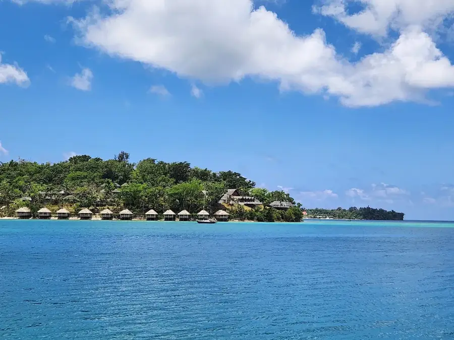
- Location: Vanuatu
- Nearby: Fanla Village (12 km)
Best time to visit & climate
The most pleasant time to visit is Jul–Sep.
| Jan | Feb | Mar | Apr | May | Jun | Jul | Aug | Sep | Oct | Nov | Dec | |
|---|---|---|---|---|---|---|---|---|---|---|---|---|
| Avg °C | 28 | 28 | 28 | 27 | 26 | 26 | 25 | 25 | 25 | 26 | 26 | 27 |
| Rain mm | 227 | 220 | 247 | 249 | 147 | 131 | 88 | 79 | 88 | 132 | 145 | 165 |
📋 Practical info
Geography
Facts
- The Marum crater is several hundred meters deep.
- It hosts one of the world's few persistent lava lakes.
- The Ambrym caldera measures approximately 12 km in diameter.
- Acid rain from gas emissions prevents vegetation on the summit.
- Expeditions often involve rappelling into the crater to reach the vents.
- The volcano is located near the geographic center of Ambrym island.
Explore nearby
Notable places around
Route planner — Car & Motorhome
Where do you start? We build the route here, with stops and country notes along the way.
© OpenStreetMap contributors · OpenRouteService
Sights in the town Mount Marum (1)
Sights nearby
Frequently asked questions
How is the volcano accessible?
Do I need professional equipment?
Is the trip dangerous?
When is the best time to travel?
Is there mobile reception?
Mount Marum: where is it located?
Mount Marum: when is the best time to visit?
Mount Marum: why is it worth visiting?

Nearby cities


History & landmarks

Nature
More places