Plizio Visual Lab
Mount Benbow

Weather…
Water temperature…
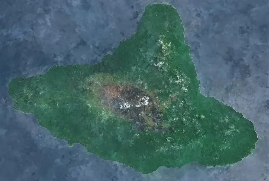
Mount Benbow is the twin cone of Mount Marum, also located within the vast ash desert of the Ambrym caldera. Although slightly lower in elevation than Marum, Benbow is equally active and hazardous, often featuring its own lava lakes and producing significant ash eruptions. The landscape surrounding Benbow is defined by deep erosion gullies carved into the volcanic ash and strange rock formations created by extreme weather on the high plateau. Reaching the rim of the Benbow crater features an apocalyptic view of the entire caldera stretching toward the ocean, provided visibility is not obscured by volcanic steam. Geologically, Benbow is part of a highly complex magmatic system that makes Ambrym one of the most productive volcanic islands in the Pacific. Local residents hold a deep spiritual respect for the mountain, often avoiding the caldera at night due to traditional beliefs. Scientific expeditions to Benbow have yielded critical data on the composition of basaltic magmas and volcanic degassing. The constant threat of sudden eruptions and toxic gas releases makes any approach to the crater a high-risk endeavor.
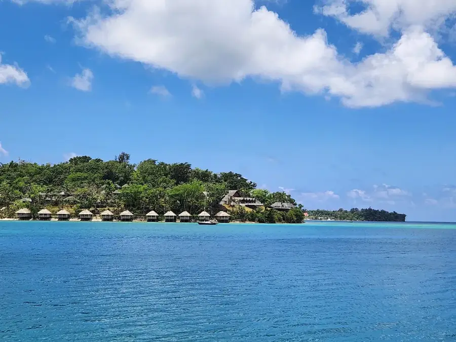
- Location: Vanuatu
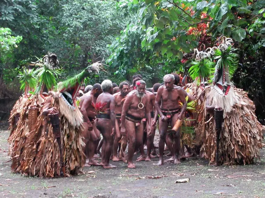
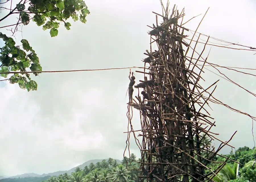
- Nearby: Fanla Village (11 km)
Best time to visit & climate
The most pleasant time to visit is Jul–Sep.
| Jan | Feb | Mar | Apr | May | Jun | Jul | Aug | Sep | Oct | Nov | Dec | |
|---|---|---|---|---|---|---|---|---|---|---|---|---|
| Avg °C | 28 | 28 | 28 | 27 | 26 | 26 | 25 | 25 | 25 | 26 | 26 | 27 |
| Rain mm | 227 | 220 | 247 | 249 | 147 | 131 | 88 | 79 | 88 | 132 | 145 | 165 |
📋 Practical info
Geography
Facts
- Mount Benbow stands at an elevation of approximately 1,159 meters.
- It shares the 12 km wide caldera floor with Mount Marum.
- Gas emissions from Benbow can cause acid rain across the island.
- The climb involves navigating steep ash slopes without established trails.
- Benbow has formed active lava lakes several times in recent decades.
- The caldera was created approximately 2,000 years ago during a massive eruption.
Explore nearby
Notable places around
Route planner — Car & Motorhome
Where do you start? We build the route here, with stops and country notes along the way.
© OpenStreetMap contributors · OpenRouteService
Sights nearby
Frequently asked questions
How long does the ascent take?
Do I have to be extremely fit?
What is the best clothing?
Is the volcano currently active?
Do I need a visa?
Mount Benbow: where is it located?
Mount Benbow: when is the best time to visit?
Mount Benbow: why is it worth visiting?

Nearby cities


History & landmarks

Nature
More places