Plizio Visual Lab
Maskelyne Islands Mangroves

Weather…
Water temperature…
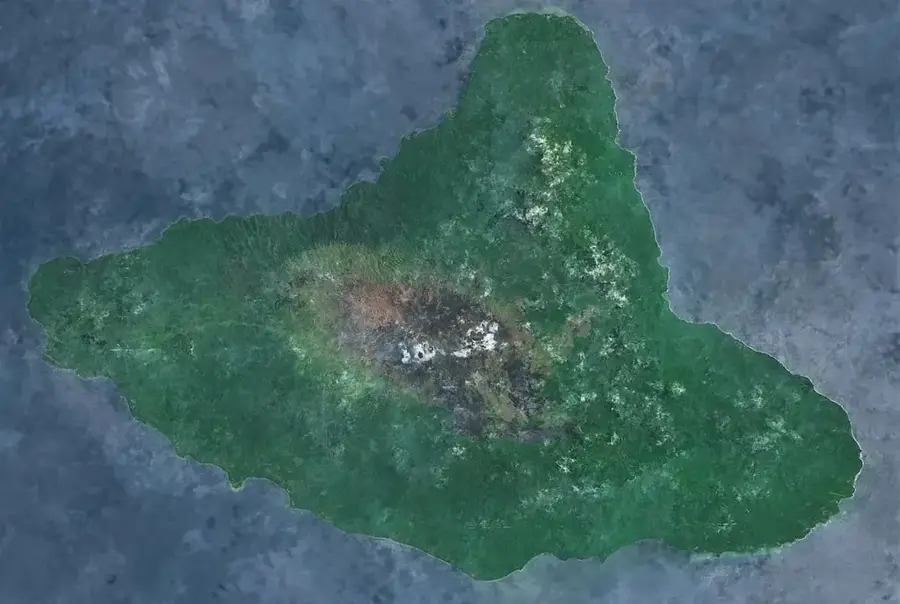
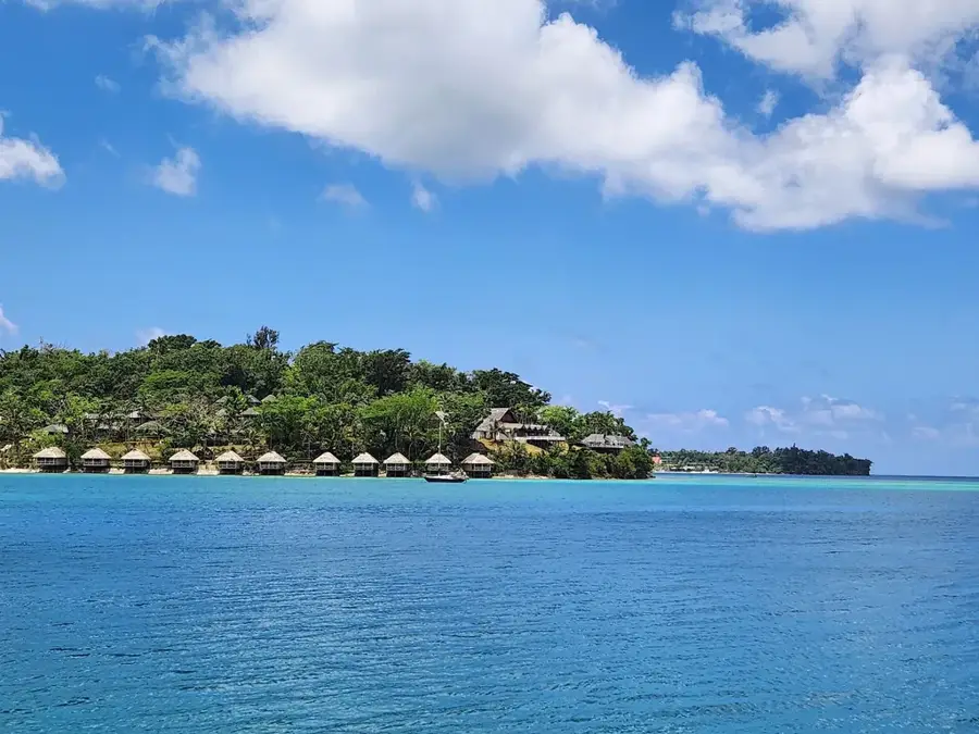
The Maskelyne Islands, located south of Malekula, host some of the most extensive and pristine mangrove forests in Vanuatu. This archipelago consists of small coral islands interconnected by a complex system of waterways and dense mangrove belts. Ecologically, these forests are vital as they act as sediment filters for the adjacent coral reefs while providing a sanctuary for rare marine species. Historically, the Maskelyne islanders are renowned for their seafaring skills; mangrove wood was traditionally harvested to construct their famous outrigger canoes. In recent years, communities on islands such as Kuliviu and Sakao have established marine protected areas to safeguard biodiversity, particularly for dugongs and sea turtles. The mangroves also serve as a critical defense for the low-lying islands against rising sea levels and intensified storm activity. Scientists regard the Maskelynes as one of the most intact marine ecosystems in the South Pacific, making it a focal point for international conservation and research efforts.
- Location: Vanuatu
- Top sights: SDA Church · Presbyterian Church · Pelongk Larget Memorial Prebyterian Church
- Nearby: Small Nambas Territory (47 km)
Best time to visit & climate
The most pleasant time to visit is Jul–Sep.
| Jan | Feb | Mar | Apr | May | Jun | Jul | Aug | Sep | Oct | Nov | Dec | |
|---|---|---|---|---|---|---|---|---|---|---|---|---|
| Avg °C | 28 | 28 | 28 | 27 | 26 | 26 | 25 | 25 | 25 | 26 | 26 | 27 |
| Rain mm | 215 | 214 | 238 | 246 | 143 | 121 | 81 | 76 | 82 | 124 | 140 | 164 |
📋 Practical info
Geography
Facts
- The Maskelyne Islands consist of approximately 10 inhabited and uninhabited isles.
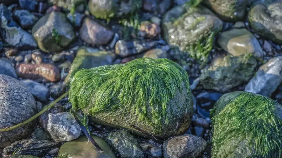
- Mangroves cover over 20% of the archipelago's total land area.
- The area hosts one of the largest dugong sanctuaries in Vanuatu.
- Tidal currents flowing through the mangroves can be exceptionally strong.
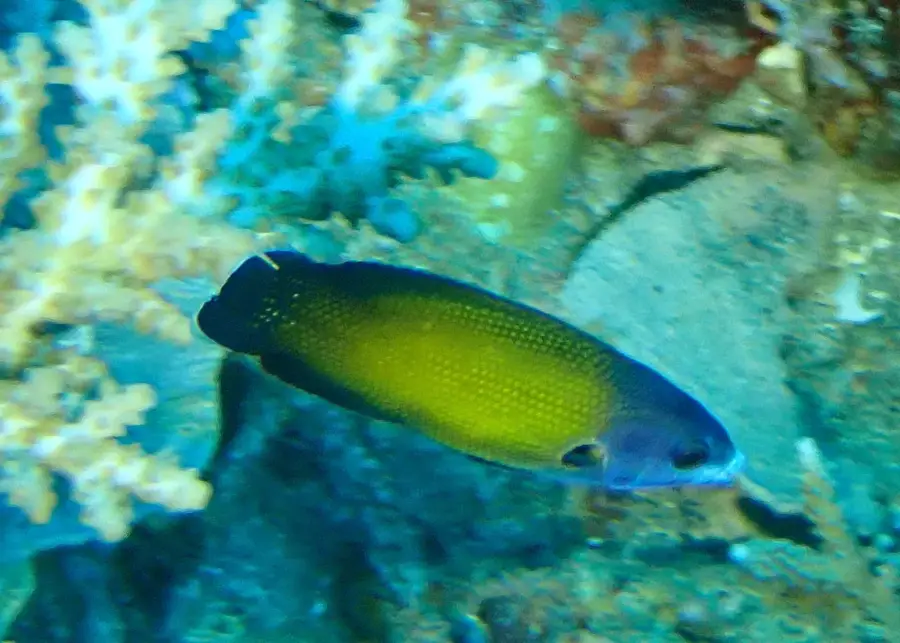
- There are over 500 cataloged species of fish in the Maskelyne reefs.
- The 'Ringi Te Suh' Marine Protected Area was established here in 1990.
Explore nearby
Notable places around
Route planner — Car & Motorhome
Where do you start? We build the route here, with stops and country notes along the way.
© OpenStreetMap contributors · OpenRouteService
Sights in the town Maskelyne Islands Mangroves (3)
Sights nearby
Frequently asked questions
Are the mangroves a highlight?
Can you snorkel here?
How to reach Maskelyne Islands?
Are there lodging options there?
What is the best season?
Maskelyne Islands Mangroves: where is it located?
Maskelyne Islands Mangroves: what is there to see?
Maskelyne Islands Mangroves: when is the best time to visit?
Maskelyne Islands Mangroves: why is it worth visiting?

Nearby cities


History & landmarks

Nature
More places