Plizio Visual Lab
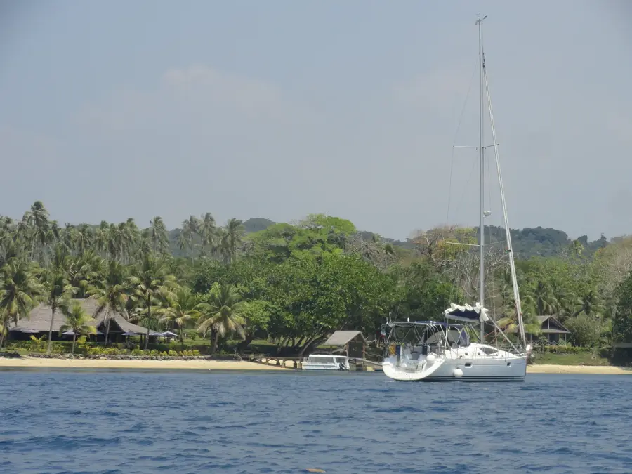
Big Nambas Territory

ℹ️Practical info — Big Nambas Territory
▾
🌤 Weather — 5 days
📍 Nearby
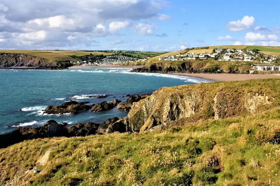
Sights nearby
💡 Tips
- Always respect local kastom (customs) and ask permission from the chief before entering the village.
- A local guide is essential for understanding the history and traditions of the Big Nambas.
- Always ask before taking photos of people or ritual sites.
- Wear appropriate, modest clothing out of respect for village traditions.
🍽 Food
The traditional root vegetable dish baked in an earth oven; often arranged by tour guides.
The ritual drink of the islands. If offered, drink it in one gulp and follow the local etiquette.
Fresh papayas and bananas, often offered by locals straight from their own gardens.
🛍 Shopping · 🧘 Quiet spots
Buy intricate carvings directly from the villagers to support the local economy.
Handmade mats and baskets, often crafted by the women of the community.
Explore the quiet jungle paths around the territory, always accompanied by a local guide.
Sit on the edge of the village to quietly observe the exotic birdlife.
Water temperature…
The Big Nambas Territory, located in the northern region of Malakula Island, is historically renowned for its formidable warrior past and intricate social hierarchy. The name is derived from the large, purple-dyed fiber penis sheath (namba) worn by the men of the tribe. Until the mid-20th century, the Big Nambas maintained a significant degree of independence from colonial authorities and missionary influence, preserving their traditional way of life longer than many other groups. Their society was characterized by powerful hereditary chiefs who controlled large territories and dictated the political landscape. The Big Nambas are famous for their monumental ceremonial grounds (nasara), featuring massive carved slit-gongs (tam-tams) that were used for long-distance communication and ritual accompaniment. Women in this society were known for wearing distinctive woven fiber headdresses that indicated their social status. The rugged topography of North Malakula, with its dense forests and steep hills, facilitated this cultural isolation. Today, while most have transitioned to modern ways, several villages continue to uphold and showcase their rich 'Kastom' heritage to visitors.
- Location: Vanuatu
- Nearby: Leviamp (19 km)
- Population: ~705 (2026)
Best time to visit & climate
The most pleasant time to visit is Jul–Sep.
| Jan | Feb | Mar | Apr | May | Jun | Jul | Aug | Sep | Oct | Nov | Dec | |
|---|---|---|---|---|---|---|---|---|---|---|---|---|
| Avg °C | 28 | 28 | 28 | 27 | 26 | 26 | 25 | 25 | 25 | 26 | 27 | 27 |
| Rain mm | 237 | 236 | 255 | 257 | 176 | 151 | 110 | 97 | 120 | 149 | 164 | 163 |
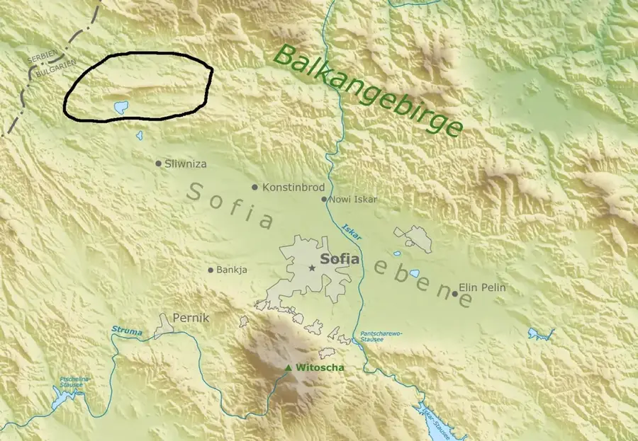
Geography
Facts
- The territory covers the northern highlands of Malakula.
- Chiefs traditionally practiced polygyny as a sign of wealth.
- Massive slit-gongs were used to announce deaths or celebrations.
- The Big Nambas were among the last to accept missionary presence.
- Mae is a significant archaeological site in this territory.
- Distinctive purple fibers are made from the inner bark of a local tree.
Explore nearby
Notable places around
Route planner — Car & Motorhome
Where do you start? We build the route here, with stops and country notes along the way.
© OpenStreetMap contributors · OpenRouteService
Sights in the town Big Nambas Territory (1)
Frequently asked questions
What distinguishes the Big Nambas from other groups?
Can I visit the villages?
How to reach the area?
What is the best time for a visit?
Should I bring gifts?
Big Nambas Territory: where is it located?
Big Nambas Territory: when is the best time to visit?
Big Nambas Territory: why is it worth visiting?

Nearby cities


History & landmarks


Nature
More places