Plizio Visual Lab
Mount Taniar

Weather…
Water temperature…
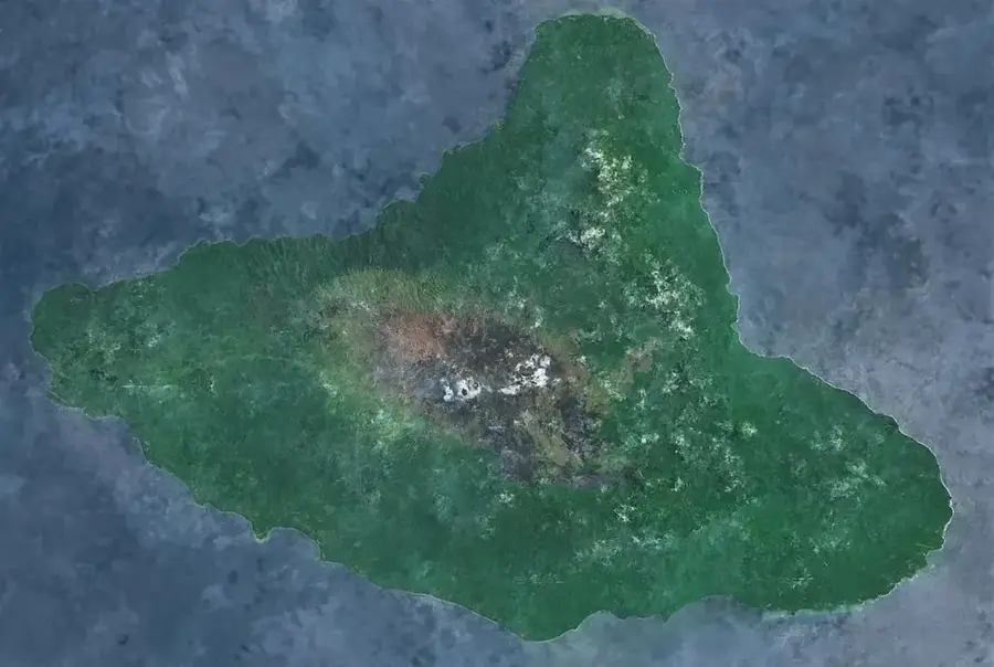
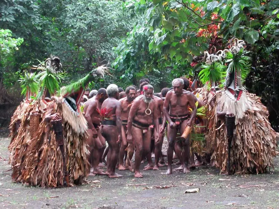
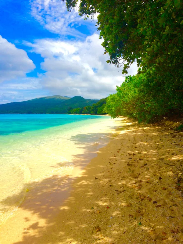
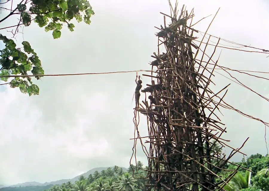
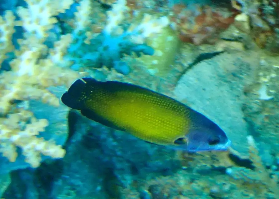
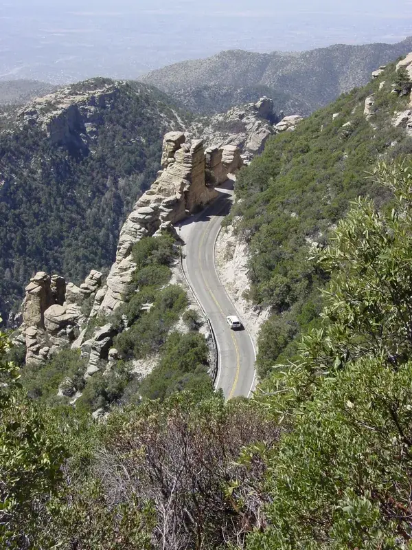
Mount Taniar is a prominent elevation in the central part of Malakula island in Vanuatu, reaching a height of approximately 800 meters. It is part of the central mountain range that traverses Malakula, dividing the island into a windward east coast and a wilder west coast. The region around Mount Taniar is of enormous ethnographic significance, as it touches the territory of the 'Big Nambas' and 'Small Nambas' tribes, groups with unique cultural traditions. The mountain itself is covered in dense tropical primary forest, hosting a high number of endemic bird species. Geologically, the area consists of a complex structure of volcanic rocks and uplifted coral limestone, reflecting the tectonic dynamics of the island arc. For the local population, the mountain is not only a vital water source but also a place of deep mythological roots. Trekking in this region is challenging and is usually undertaken only with local guides, as the terrain is extremely rugged.
- Location: Vanuatu
- Nearby: Fanla Village (66 km)
Best time to visit & climate
The most pleasant time to visit is Jul–Sep.
| Jan | Feb | Mar | Apr | May | Jun | Jul | Aug | Sep | Oct | Nov | Dec | |
|---|---|---|---|---|---|---|---|---|---|---|---|---|
| Avg °C | 28 | 28 | 28 | 28 | 27 | 26 | 25 | 25 | 25 | 26 | 26 | 27 |
| Rain mm | 209 | 204 | 233 | 238 | 144 | 118 | 82 | 74 | 86 | 122 | 134 | 153 |
📋 Practical info
Geography
Facts
- Elevation of approx. 800 meters on Malakula
- Part of the island's central watershed
- Adjacent to Big Nambas tribal territories
- Composed of volcanic rock and limestone
- Habitat for the endemic Malakula honeyeater
- Significant site for traditional kastom ceremonies
Explore nearby
Notable places around
Route planner — Car & Motorhome
Where do you start? We build the route here, with stops and country notes along the way.
© OpenStreetMap contributors · OpenRouteService
Sights nearby
Frequently asked questions
Is the ascent steep?
Are there marked trails?
Is it family-friendly?
Do you need a guide?
Is there water?
Mount Taniar: where is it located?
Mount Taniar: when is the best time to visit?
Mount Taniar: why is it worth visiting?

Nearby cities


History & landmarks

Nature
More places