Plizio Visual Lab
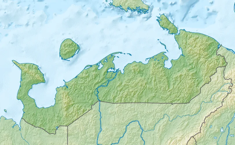
Sula Lowland
Weather…
Water temperature…
The Sula Lowland is an extensive geomorphological region in central Ukraine, stretching along the lower reaches of the Sula River within the Poltava and Sumy Oblasts. As part of the larger Dnieper Lowland, it features a flat to gently undulating topography shaped by Quaternary alluvial and lacustrine deposits. The region is defined by its wide floodplains and intricate network of marshes, which act as a natural sponge for the region's water systems. Geologically, the area sits atop the Dnieper-Donets depression, with layers of silt, clay, and sand providing a base for fertile alluvial soils. These soils are highly prized for agriculture, particularly for growing sunflowers, corn, and wheat. The Sula Lowland is also of significant ecological importance, encompassing parts of the Sulskyi National Nature Park, a major sanctuary for migratory birds and rare aquatic species. Historically, the Sula River marked a strategic border of the Kievan Rus', and the lowland contains numerous remnants of ancient fortifications and burial mounds (kurgans).
- Location: Ukraine
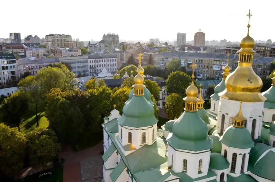
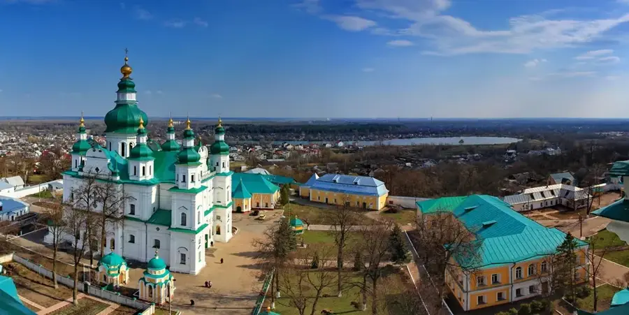
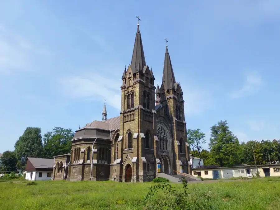
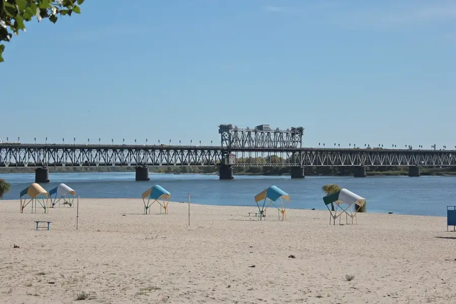
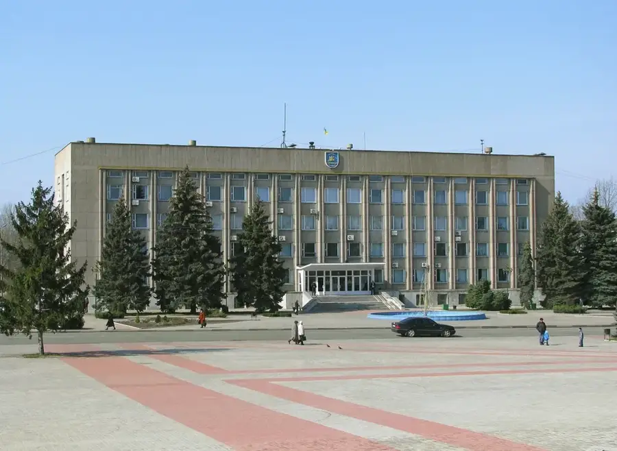
- Nearby: Lubny (49 km)
Best time to visit & climate
The most pleasant time to visit is Jun–Aug.
| Jan | Feb | Mar | Apr | May | Jun | Jul | Aug | Sep | Oct | Nov | Dec | |
|---|---|---|---|---|---|---|---|---|---|---|---|---|
| Avg °C | -6 | -4 | 2 | 9 | 16 | 21 | 23 | 23 | 16 | 9 | 2 | -3 |
| Rain mm | 47 | 38 | 43 | 32 | 60 | 71 | 66 | 34 | 53 | 47 | 40 | 46 |
📋 Practical info
Geography
Facts
- The Sula Lowland has an average elevation of 90 meters above sea level.
- The Sula River is a left-bank tributary of the Dnieper River.
- The region contains some of the largest peat bog deposits in central Ukraine.
- Agricultural land accounts for approximately 70% of the lowland's area.
- The Sula floodplains are a Ramsar-designated wetland of international importance.
- The area was a historical center of the Pereyaslav Principality.
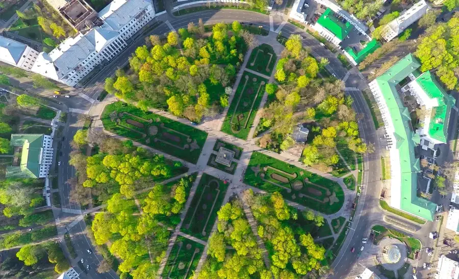
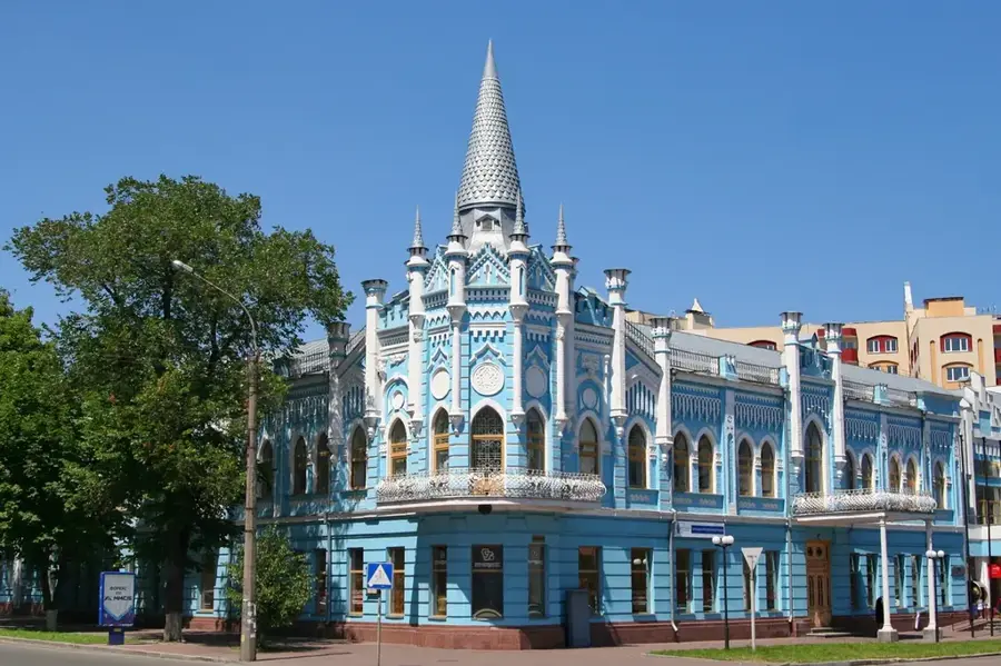
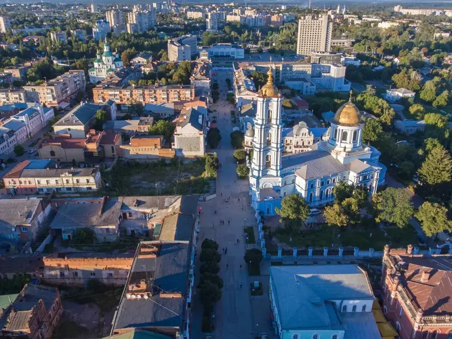
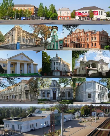
Explore nearby
Notable places around
Route planner — Car & Motorhome
Where do you start? We build the route here, with stops and country notes along the way.
© OpenStreetMap contributors · OpenRouteService
Sights nearby
Frequently asked questions
Where is the Sula Lowland located?
What is special about the nature in this region?
When is the best time to visit the Sula Lowland?
Are there camping opportunities available?
What activities are popular in the Sula Lowland?
Sula Lowland: where is it located?
Sula Lowland: when is the best time to visit?
Sula Lowland: why is it worth visiting?

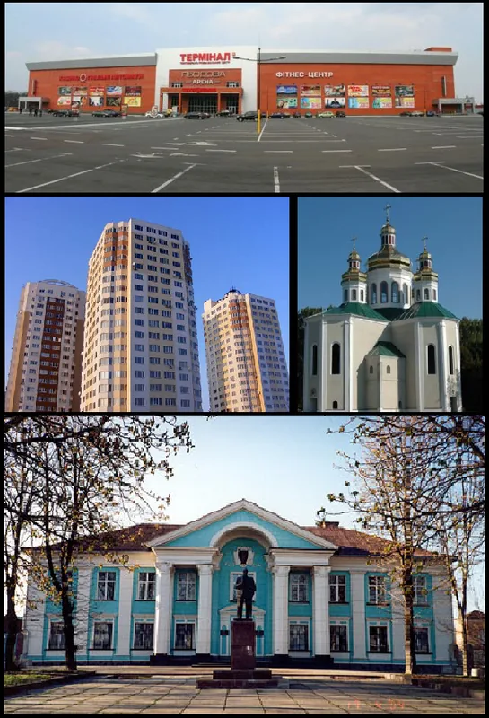
Nearby cities