Plizio Visual Lab
Sula River
Weather…
Water temperature…
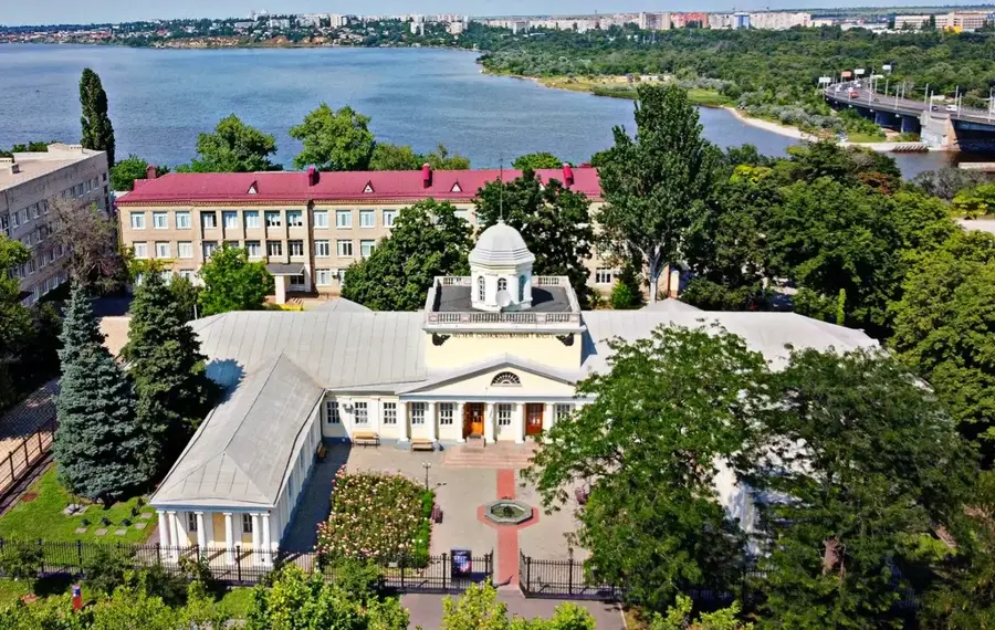
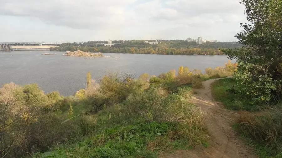
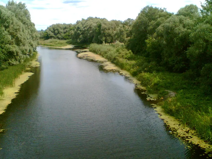
The Sula River is a significant left tributary of the Dnieper, flowing through the Sumy and Poltava Oblasts of central Ukraine. It spans a total length of approximately 363 kilometers and drains a basin area of roughly 19,600 square kilometers. Originating on the southwestern slopes of the Central Russian Upland, the river winds slowly across the Dnieper Lowland, characterized by its gentle gradient and wide floodplains. The Sula is famous for its extensive reed beds, oxbow lakes, and marshy islands, which provide vital nesting grounds for numerous waterfowl species. Historically, the river served as a strategic defensive line for Kievan Rus' against nomadic invasions, known as the Sula Line. Today, it is a favored destination for fishing and nature conservation, hosting several regional landscape parks along its banks.
- Location: Ukraine
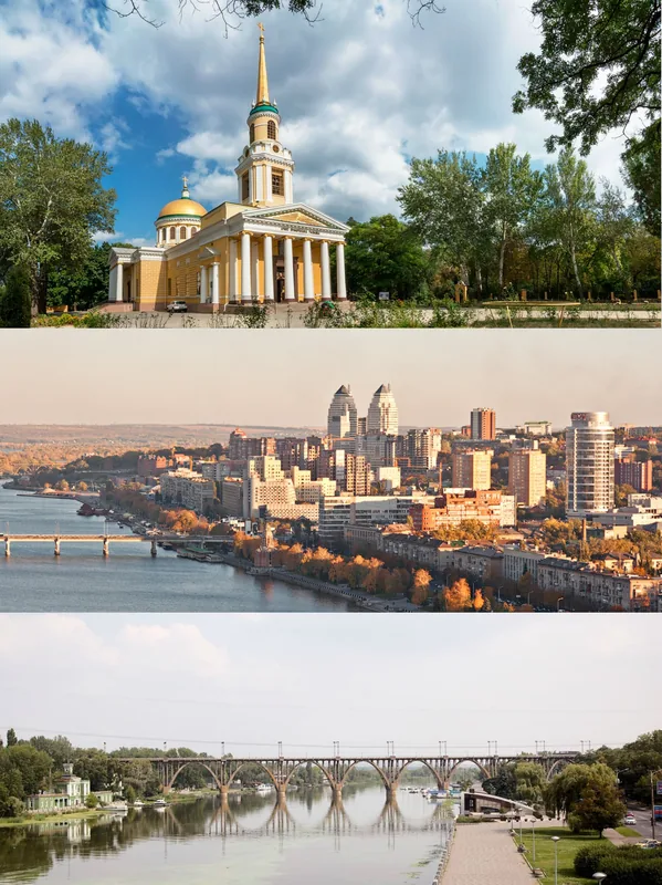
- Nearby: Novoheorhiivsk (26 km)
Best time to visit & climate
The most pleasant time to visit is Jun–Aug.
| Jan | Feb | Mar | Apr | May | Jun | Jul | Aug | Sep | Oct | Nov | Dec | |
|---|---|---|---|---|---|---|---|---|---|---|---|---|
| Avg °C | -6 | -4 | 2 | 9 | 16 | 21 | 23 | 23 | 16 | 9 | 2 | -3 |
| Rain mm | 47 | 38 | 43 | 32 | 60 | 71 | 66 | 34 | 53 | 47 | 40 | 46 |
📋 Practical info
Geography
Facts
- The Sula River stretches for a total of 363 kilometers.
- Its drainage basin covers approximately 19,600 square kilometers.
- The river flows into the Kremenchuk Reservoir on the Dnieper.
- It was the site of the historic 'Sula Line' of defensive forts.
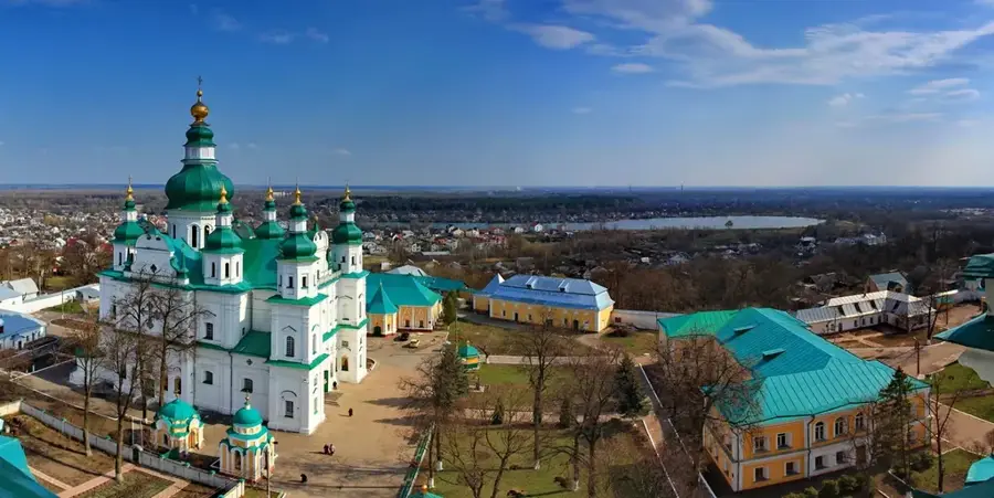
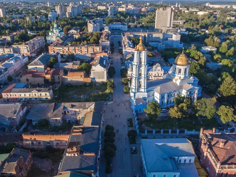
- The towns of Romny and Lubny are major cultural centers on its banks.
- The river basin is a primary habitat for several endangered fish species.
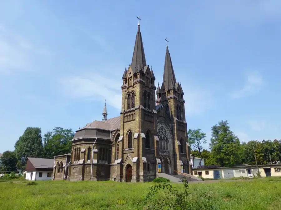
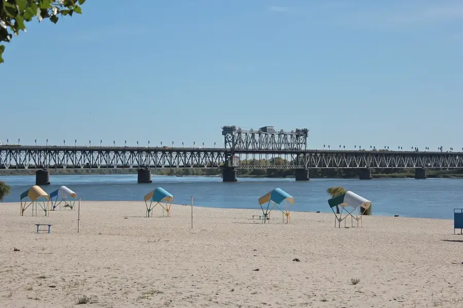
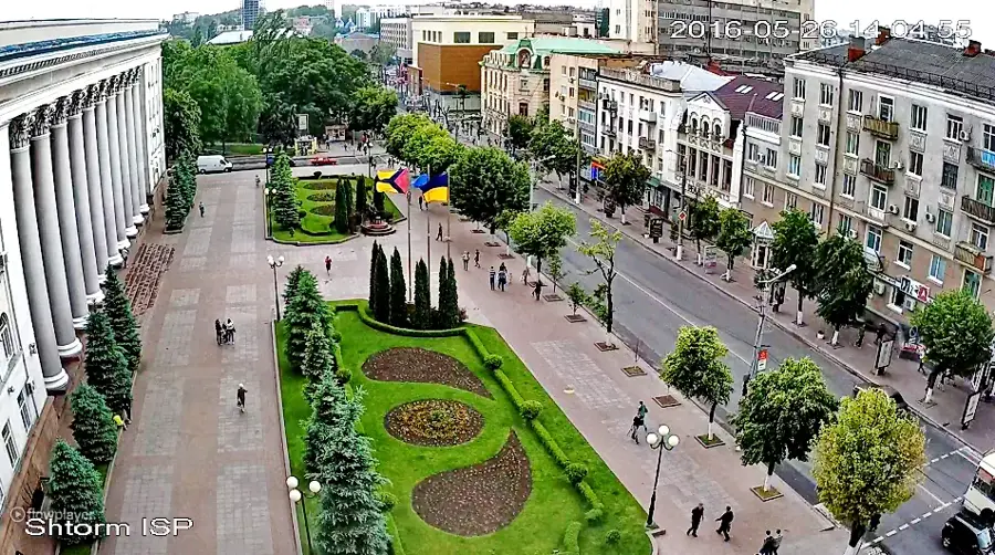
Explore nearby
Notable places around
Route planner — Car & Motorhome
Where do you start? We build the route here, with stops and country notes along the way.
© OpenStreetMap contributors · OpenRouteService
Sights nearby
Frequently asked questions
Where does the Sula River flow?
Into which river does the Sula flow?
How long is the Sula?
What is characteristic of the valley?
Is the river suitable for fishing?
Sula River: where is it located?
Sula River: when is the best time to visit?
Sula River: why is it worth visiting?

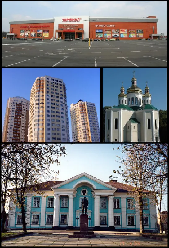
Nearby cities