Plizio Visual Lab
Mukamira
ℹ️Practical info — Mukamira
▾
🌤 Weather — 5 days
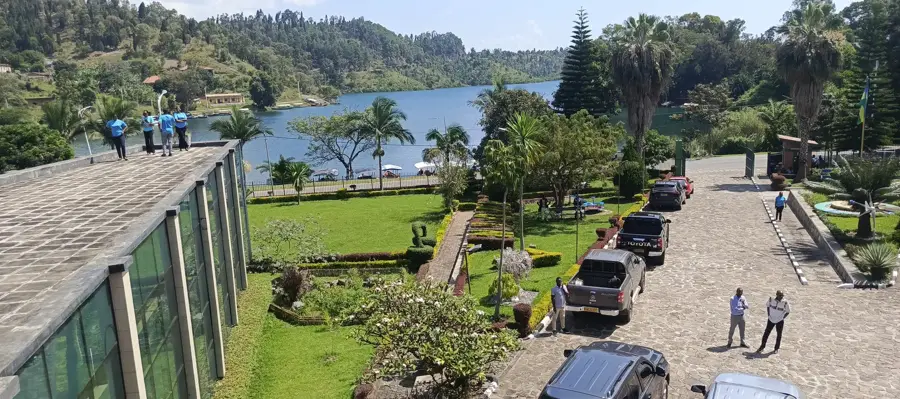
📍 Nearby
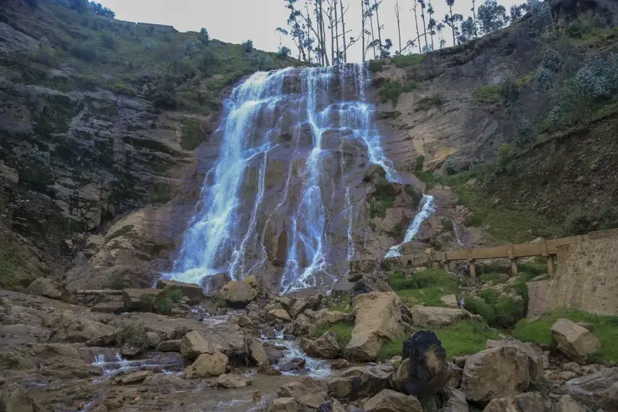
Sights nearby
💡 Tips
- Mukamira is a well-suited stopping point on the route between Musanze and Lake Kivu.
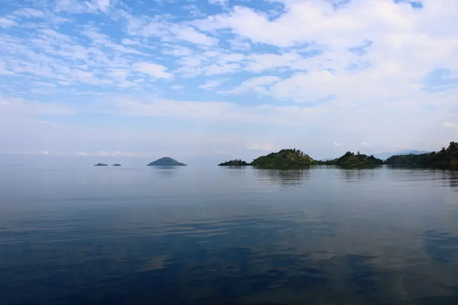
- Enjoy the spectacular views of the Virunga Volcanoes when the weather is clear.
- Visit the local dairies to learn about the region's significant milk industry.
- Dress in layers, as it can get chilly due to the high altitude and proximity to the volcanoes.
🍽 Food
Mukamira is famous for its milk; try it fresh at the local milk bars.
The volcanic soil produces exceptionally tasty potatoes, which are a staple here.
Try the locally produced yogurt, often sold plain or lightly sweetened.
🛍 Shopping · 🧘 Quiet spots
Buy high-quality potatoes and other mountain vegetables directly from roadside stalls.
Find the best selection of cheese and butter in the entire region right here.
Walks on the outskirts of town offer memorable views of the Virunga volcano cones.
The rolling hills around Mukamira are first-rate for a quiet observation of rural life.
Water temperature…
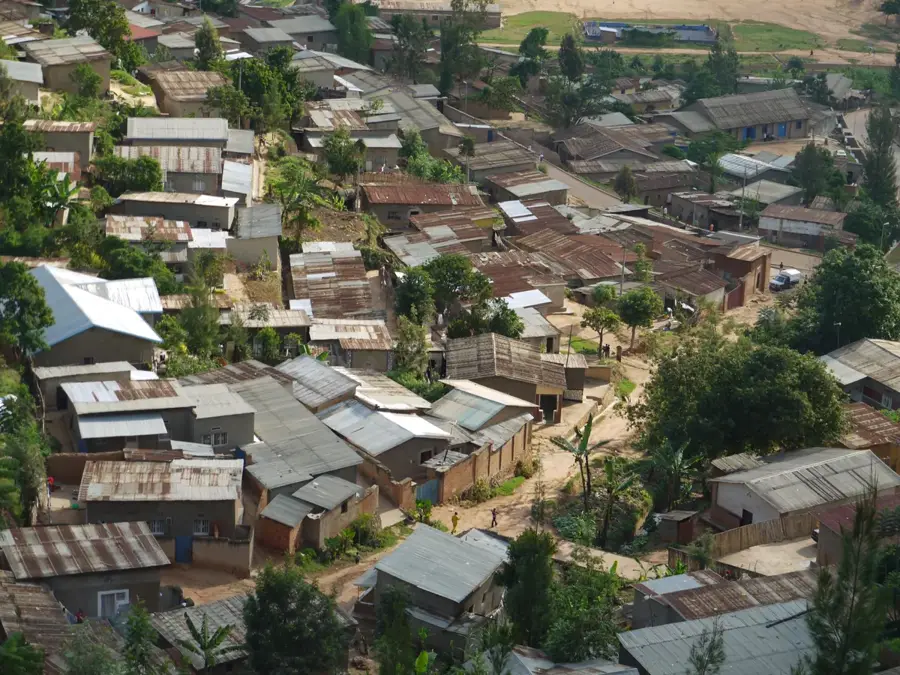
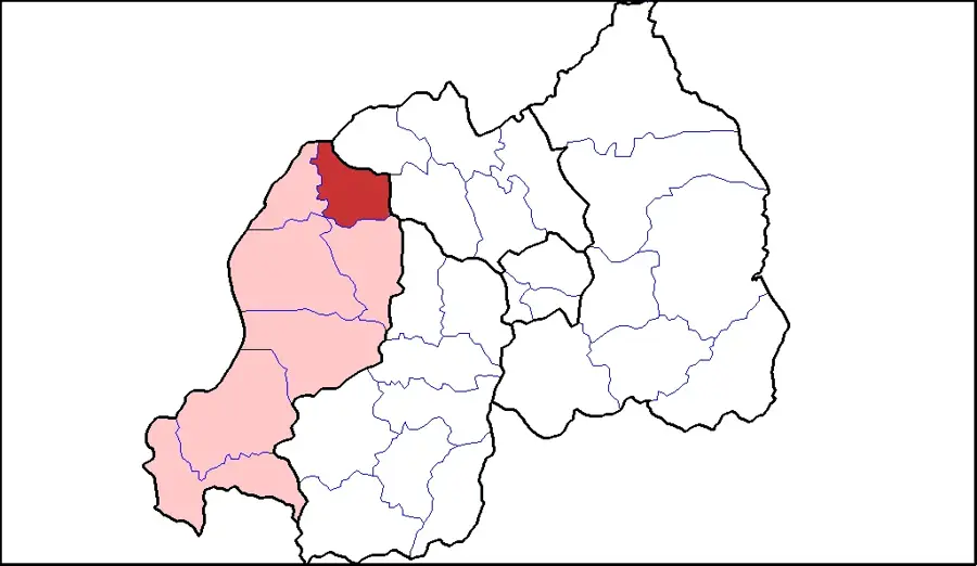
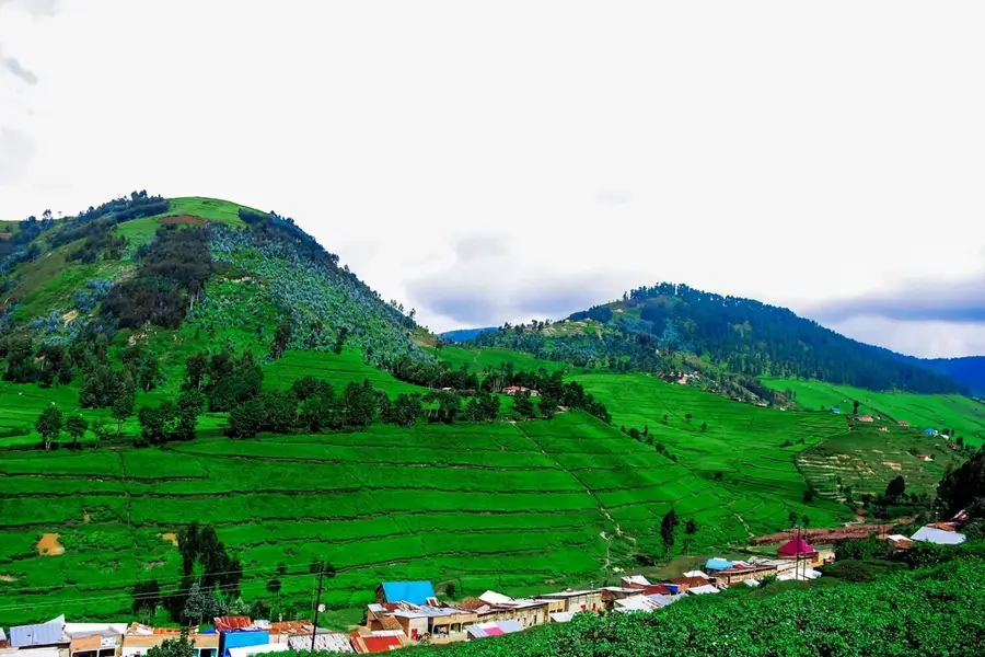
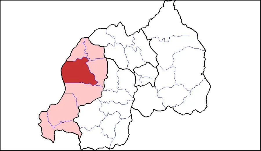
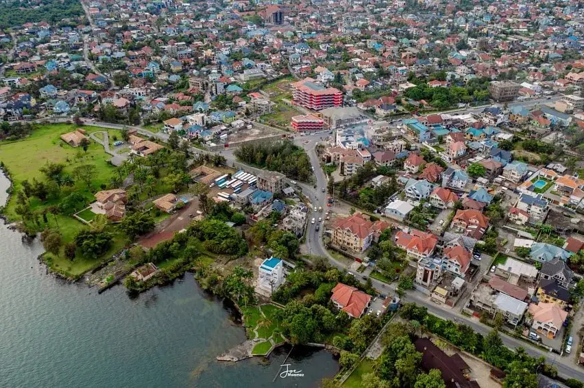
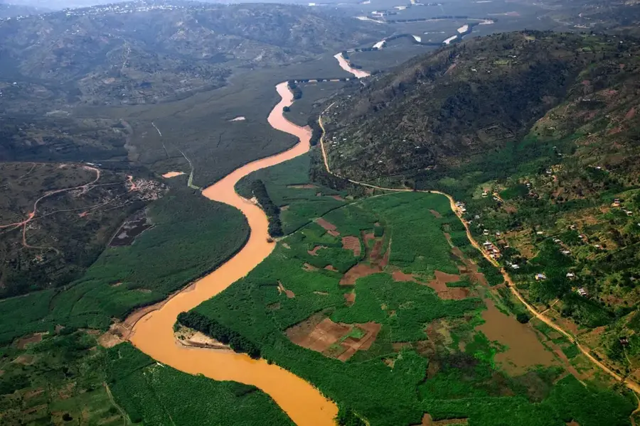
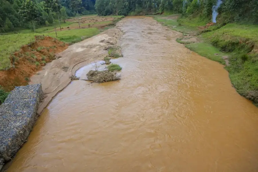
Mukamira is a significant economic hub located in the Nyabihu District of Rwanda's Western Province, situated at an elevation of approximately 2,300 meters above sea level. The town functions as a strategic transportation junction at the intersection of the RN4 and RN11 national highways, connecting the region to Rubavu on the DRC border and the city of Musanze. Economically, the area is heavily dependent on agriculture, with the Mukamira Dairy serving as one of the country's largest milk processing plants, supporting thousands of local farmers. The fertile volcanic soils of the surrounding hills provide well-suited conditions for growing pyrethrum, a natural insecticide source, as well as high-yield potato crops. The cool highland climate is perfectly suited for dairy cattle, which forms the backbone of the local economy and ensures regional food security. In recent years, Mukamira has evolved into a bustling commercial center that links the rural northern highlands with the trade routes of the west.
- Location: Rwanda
- Nearby: Nyabihu (4 km)
- Population: ~19.021 (2024)
Best time to visit & climate
The most pleasant time to visit is Jun–Aug.
| Jan | Feb | Mar | Apr | May | Jun | Jul | Aug | Sep | Oct | Nov | Dec | |
|---|---|---|---|---|---|---|---|---|---|---|---|---|
| Avg °C | 17 | 18 | 18 | 18 | 17 | 17 | 17 | 17 | 18 | 17 | 17 | 17 |
| Rain mm | 127 | 127 | 206 | 183 | 142 | 74 | 45 | 92 | 139 | 190 | 218 | 154 |
Geography
Facts
- Mukamira is located at an altitude of 2,300 meters in Nyabihu District.
- The town sits at the strategic junction of the RN4 and RN11 highways.
- The Mukamira Dairy is a central pillar of Rwanda's national milk industry.
- Pyrethrum cultivation is a major export-oriented activity in the region.
- The area is known for its fertile volcanic soil from the Virunga chain.
- Mukamira serves as a vital trade link between Musanze and Rubavu.
Explore nearby
Notable places around
Route planner — Car & Motorhome
Where do you start? We build the route here, with stops and country notes along the way.
© OpenStreetMap contributors · OpenRouteService
Frequently asked questions
Where is Mukamira located?
What can you do in Mukamira?
What is the climate like?
Are there good shopping options there?
Is it a tourist hotspot?
Mukamira: where is it located?
Mukamira: when is the best time to visit?
Mukamira: why is it worth visiting?

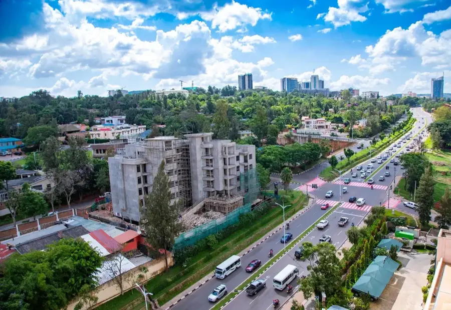
Nearby cities


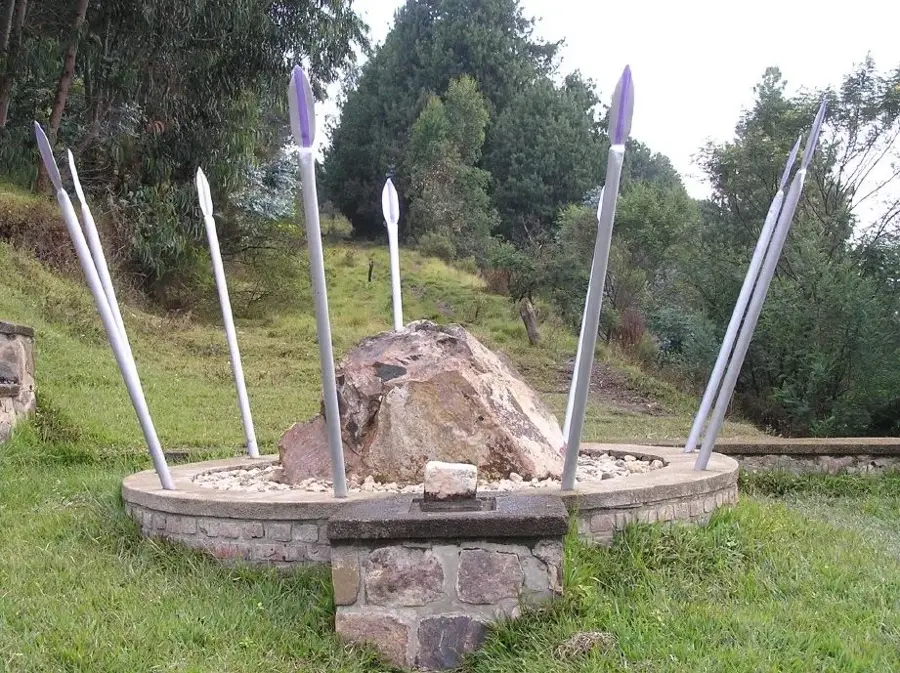
History & landmarks
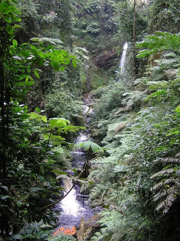
Nature
More places