Plizio Visual Lab
Mount Sabyinyo
Weather…
Water temperature…
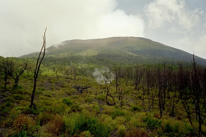
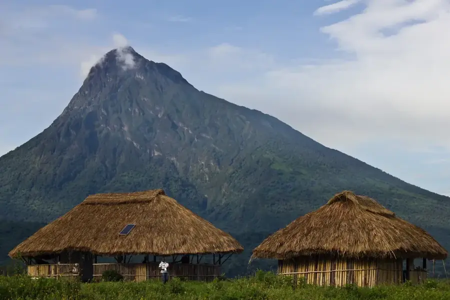
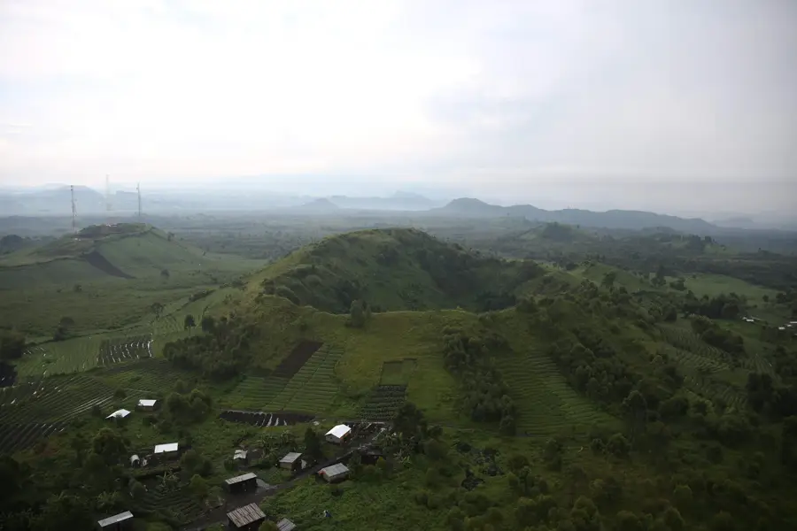
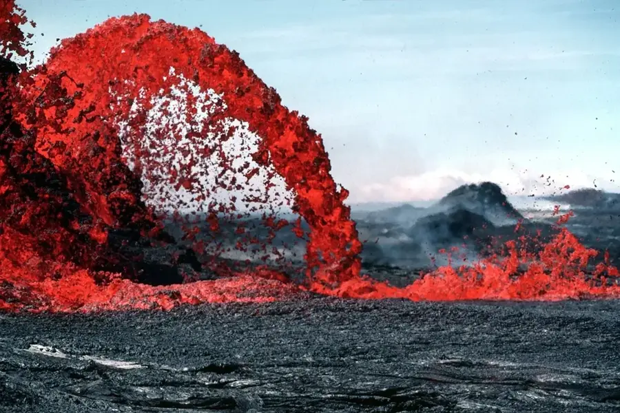
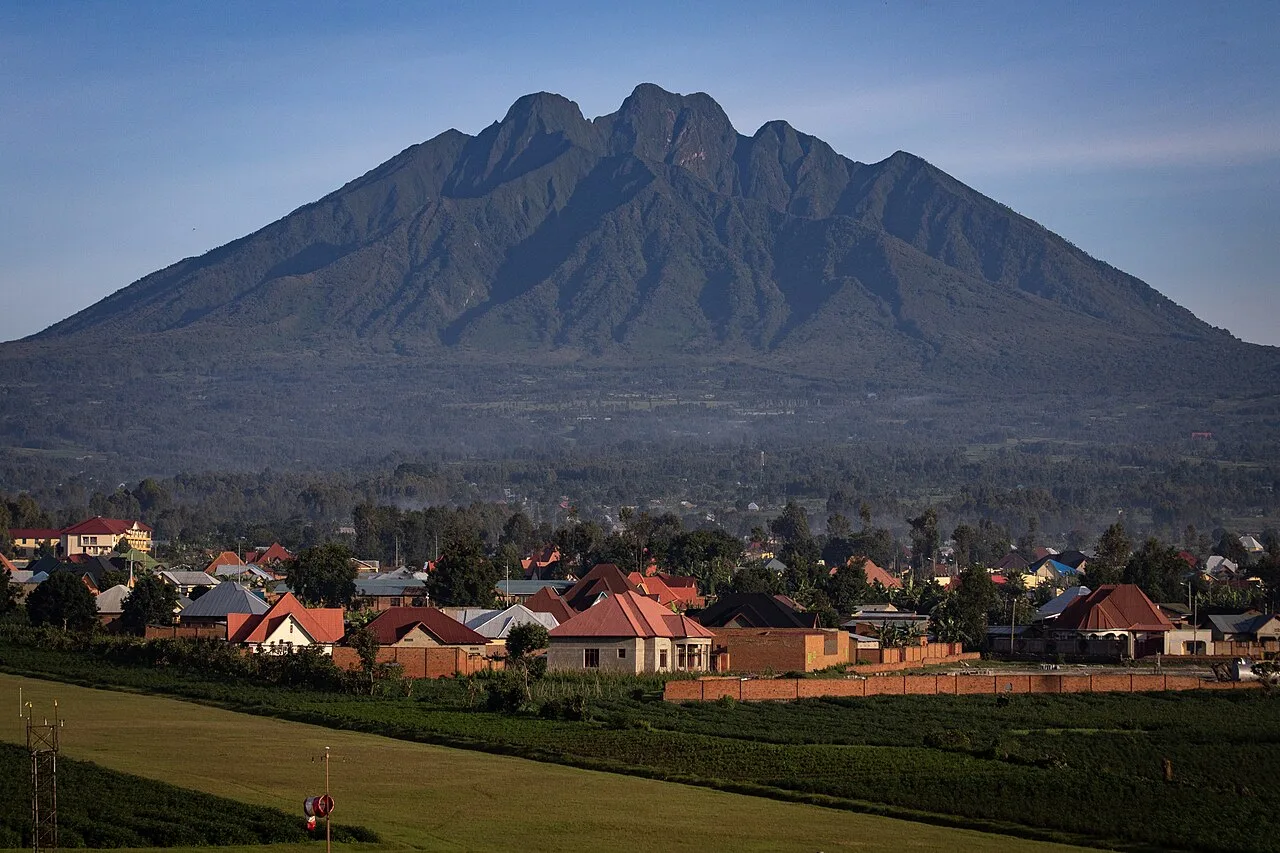
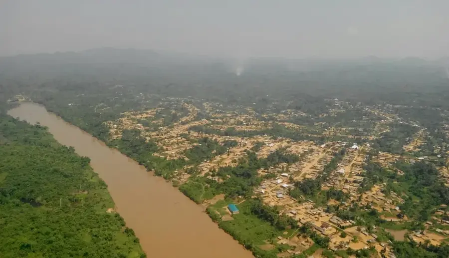
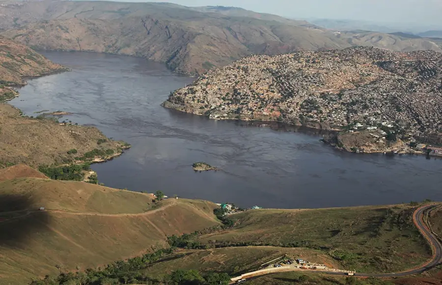
Mount Sabyinyo is an extinct volcano located within the Virunga Mountains, serving as the geographical triple point between the Democratic Republic of the Congo, Rwanda, and Uganda. Its name is derived from the Kinyarwanda word 'Iryinyo,' meaning 'tooth,' a reference to its serrated summit that resembles the teeth of an old man. Standing at an elevation of 3,645 meters, it is one of the oldest volcanoes in the range, characterized by complex geological formations of ancient lava flows. The mountain is integrated into three protected areas: Virunga National Park, Volcanoes National Park, and Mgahinga Gorilla National Park. Its steep slopes are densely forested with montane vegetation and bamboo, providing a critical habitat for endangered mountain gorillas and golden monkeys. Due to the deep gorges and rugged topography, climbing Sabyinyo is regarded as one of the most challenging treks in the region. The summit features the unique experience of being in three sovereign nations simultaneously.
- Location: Congo - Kinshasa
- Top sights: Mount Sabyinyo 2nd Peak · Mount Sabyinyo 1st Peak
- Nearby: Rutshuru (27 km)
Best time to visit & climate
The most pleasant time to visit is Jun–Aug.
| Jan | Feb | Mar | Apr | May | Jun | Jul | Aug | Sep | Oct | Nov | Dec | |
|---|---|---|---|---|---|---|---|---|---|---|---|---|
| Avg °C | 17 | 18 | 18 | 18 | 17 | 17 | 17 | 17 | 18 | 17 | 17 | 17 |
| Rain mm | 127 | 127 | 206 | 183 | 142 | 74 | 45 | 92 | 139 | 190 | 218 | 154 |
📋 Practical info
Geography
Facts
- The maximum elevation of the mountain is 3,645 meters.
- It marks the triple border point of DRC, Rwanda, and Uganda.
- It is considered the oldest volcano in the Virunga volcanic chain.
- The name translates to 'Old Man's Teeth' in the local language.
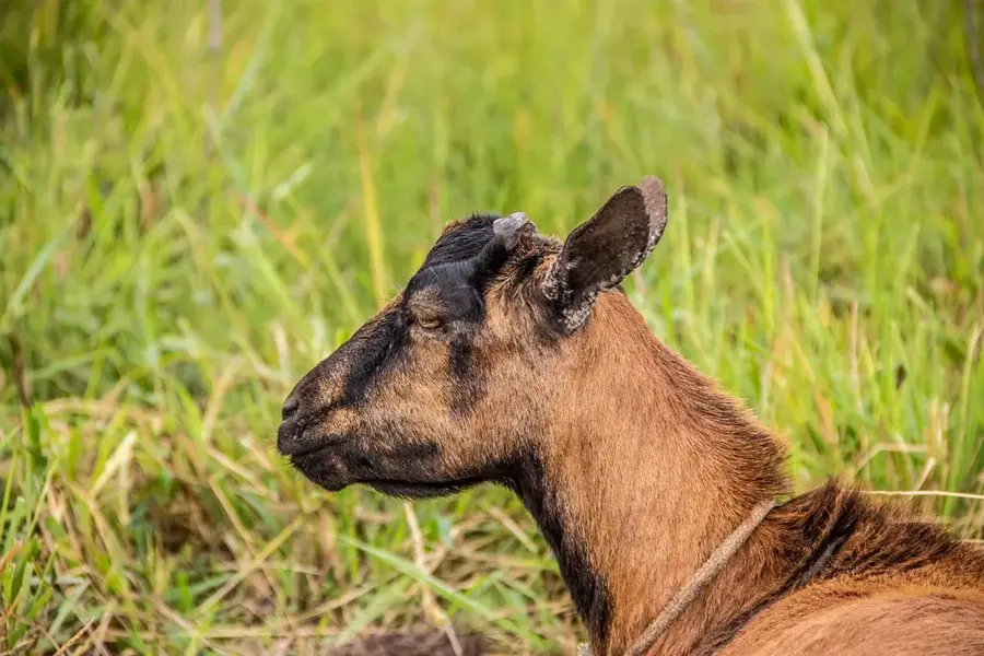
- Provides a critical habitat for the rare golden monkey species.
- The summit features several sharp, jagged rocky peaks.
Explore nearby
Notable places around
Route planner — Car & Motorhome
Where do you start? We build the route here, with stops and country notes along the way.
© OpenStreetMap contributors · OpenRouteService
Sights in the town Mount Sabyinyo (2)
Sights nearby
Frequently asked questions
Can you visit three countries at once on Mount Sabyinyo?
What is the path to the summit like?
Is the hike dangerous?
Are there mountain guides for Mount Sabyinyo?
What is the best season for the climb?
Mount Sabyinyo: where is it located?
Mount Sabyinyo: what is there to see?
Mount Sabyinyo: when is the best time to visit?
Mount Sabyinyo: why is it worth visiting?

Nature
More places