Plizio Visual Lab
Moyo
ℹ️Practical info — Moyo
▾
🌤 Weather — 5 days
📍 Nearby
Sights nearby
💡 Tips
- Check the Laropi Ferry schedule in advance as it is the main crossing point over the Nile to reach Moyo.
- Dress modestly when visiting public places; Moyo is a traditional area where respectful attire is valued.
- Carry sufficient cash in Ugandan Shillings; international ATM services are very limited in this region.
- Always keep your identification documents with you due to the town's proximity to the South Sudan border.
- Start your hikes to Mount Otce early in the morning to avoid the scorching midday heat and afternoon rains.
🍽 Food
A regional staple where Nile fish is smoked and simmered in a rich, savory peanut sauce.
A traditional dish made from dried okra, typically served with groundnut sauce and millet bread.
A thick, dough-like staple made from millet and cassava flour, best served with smoked fish or beef.
🛍 Shopping · 🧘 Quiet spots
The heartbeat of the town where you can find a unique mix of Ugandan and South Sudanese trade goods.
Look for beautifully crafted hand-woven baskets and traditional pottery unique to the West Nile region.
Excellent for buying locally grown sesame (simsim), groundnuts, and sun-dried vegetables.
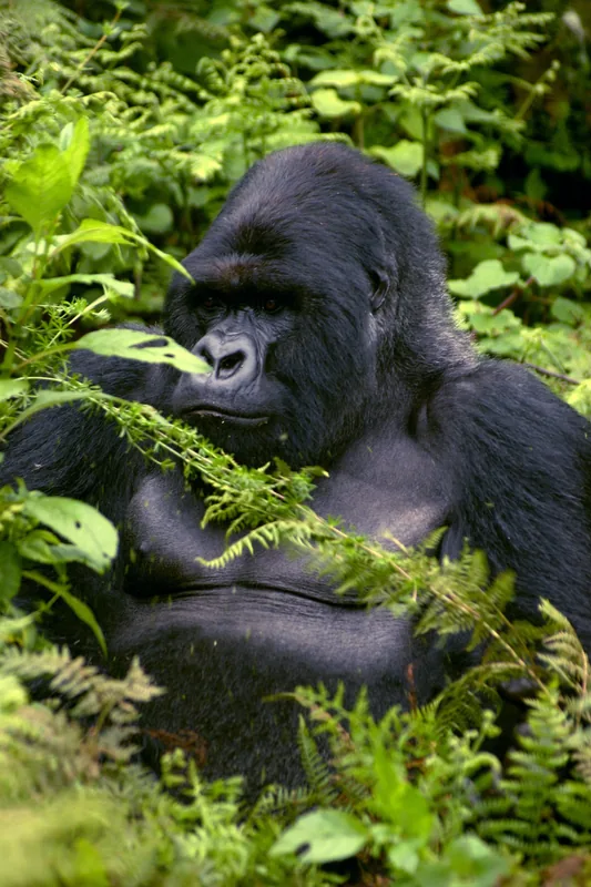
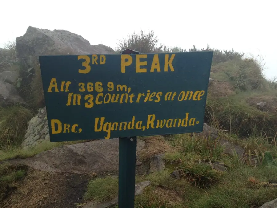
The highest peak in West Nile, offering solitude and sweeping views of the Nile winding into South Sudan.
A peaceful riverside retreat well-suited for birdwatching or simply enjoying the breeze off the Albert Nile.
A historical site along the Nile offering a quiet atmosphere and a glimpse into the region's past.
Water temperature…
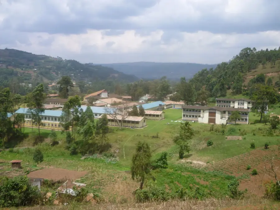
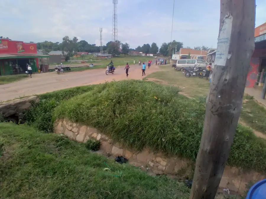
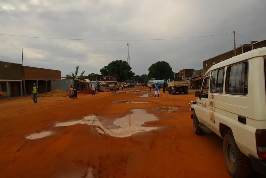
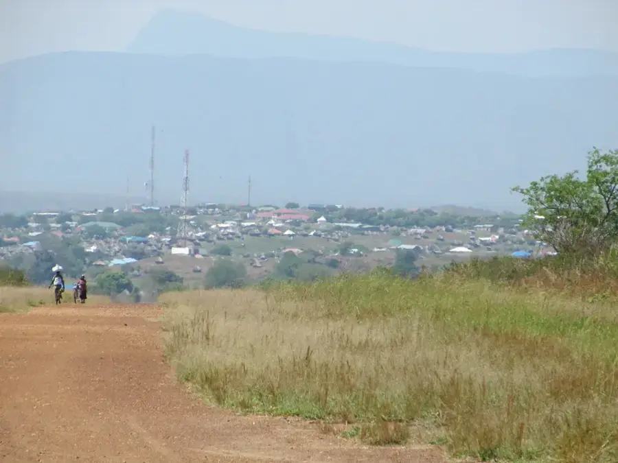
Moyo serves as the administrative capital of Moyo District in the West Nile sub-region of Northern Uganda, positioned near the international border with South Sudan. Located on a high plateau approximately 405 kilometers northwest of Kampala, the town is a vital logistics and governance hub for the surrounding rural areas. Geographically, the district is defined by the Albert Nile to the south and the rugged terrain of the Sudan-Uganda borderlands. The local economy is predominantly agricultural, with the cultivation of tobacco, cotton, millet, and cassava forming the backbone of trade. Moyo has a significant history of hosting refugees fleeing conflicts in neighboring South Sudan, which has shaped its demographic profile and influenced international aid infrastructure. Recent improvements in transportation, specifically the ferry services across the Nile to Adjumani, have enhanced regional connectivity and cross-border commercial activities.
- Location: Uganda
- Top sights: Moyo District · Moyo Town
- Nearby: Yumbe (55 km)
- Population: ~18.800 (2016)
Best time to visit & climate
The most pleasant time to visit is Jan, Feb, Dec.
| Jan | Feb | Mar | Apr | May | Jun | Jul | Aug | Sep | Oct | Nov | Dec | |
|---|---|---|---|---|---|---|---|---|---|---|---|---|
| Avg °C | 27 | 29 | 29 | 27 | 25 | 24 | 24 | 23 | 24 | 24 | 24 | 25 |
| Rain mm | 11 | 15 | 60 | 113 | 141 | 112 | 121 | 164 | 157 | 167 | 105 | 64 |
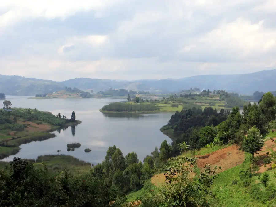
Geography
Facts
- Located approximately 405 kilometers northwest of the capital, Kampala.
- Moyo District was established in 1971 during the Idi Amin administration.
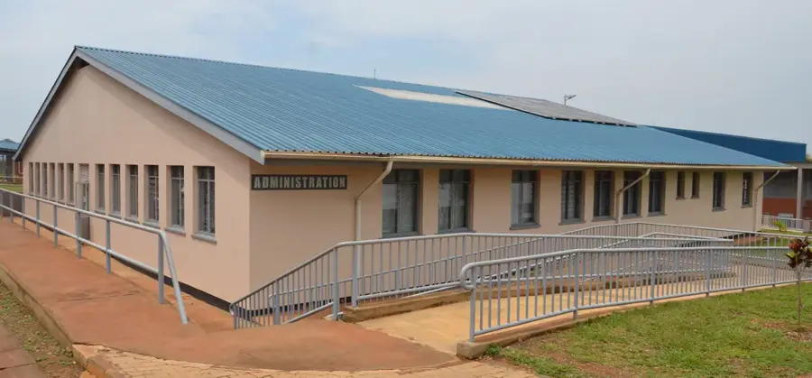
- The Moyo General Hospital provides essential healthcare with over 100 beds.
- Afoji border post near Moyo is a key crossing point into South Sudan.
- The district is the ancestral home of the Madi ethnic group.
- The town sits at an elevation of approximately 900 meters above sea level.
Explore nearby
Notable places around
Route planner — Car & Motorhome
Where do you start? We build the route here, with stops and country notes along the way.
© OpenStreetMap contributors · OpenRouteService
Sights in the town Moyo (2)
Frequently asked questions
Where is Moyo located?
What are the landscape features?
Is there tourist infrastructure there?
Is the area safe?
How do you reach Moyo?
Moyo: where is it located?
Moyo: what is there to see?
Moyo: when is the best time to visit?
Moyo: why is it worth visiting?

Nearby cities
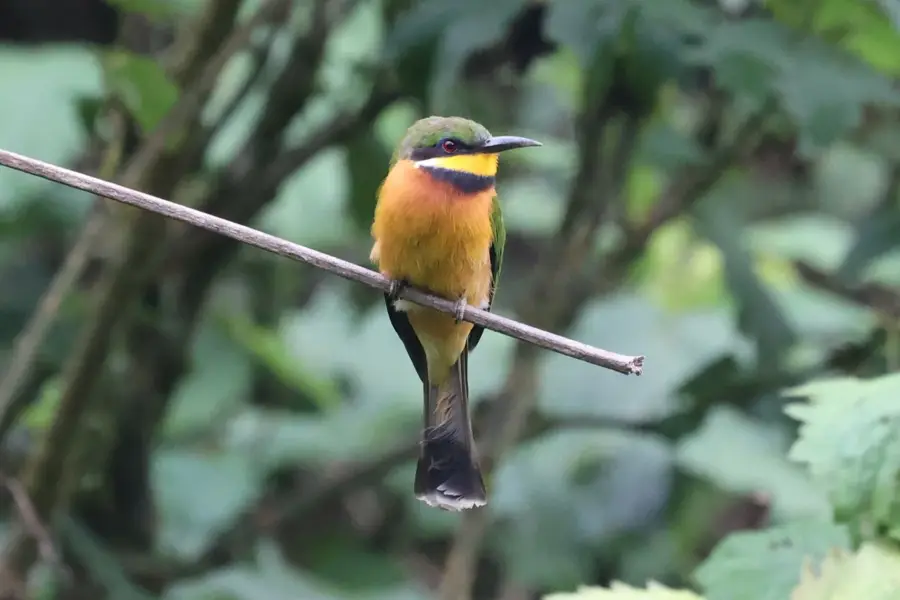
Nature
More places