Plizio Visual Lab
Mount Curi
Weather…
Water temperature…
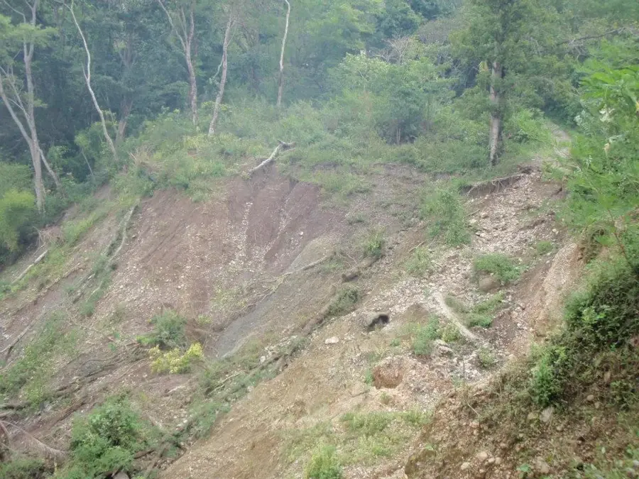
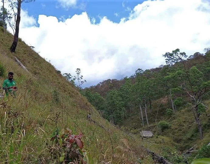
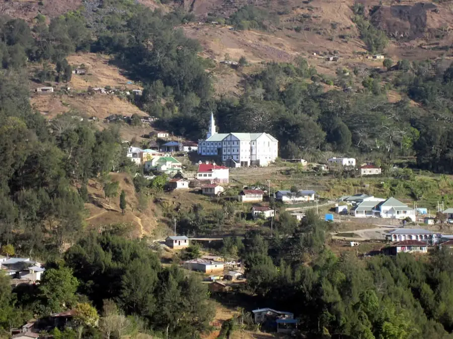
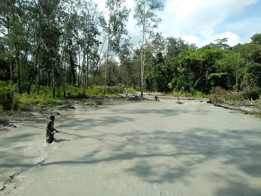
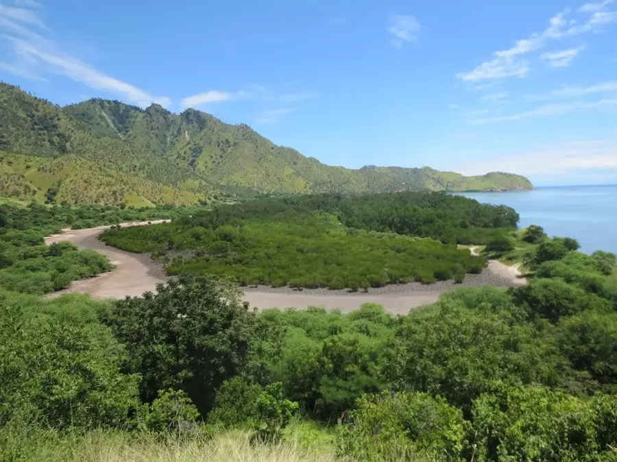
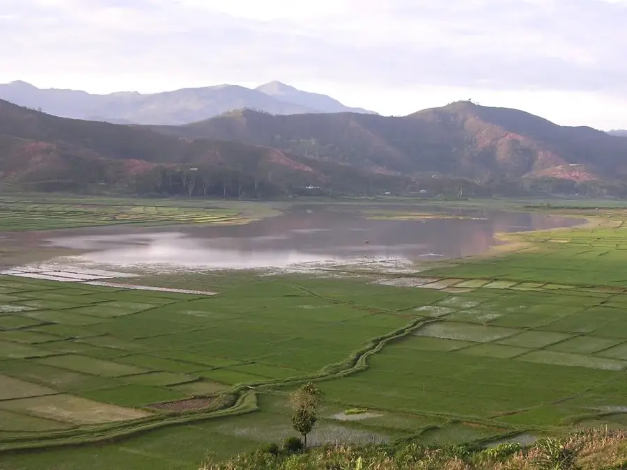
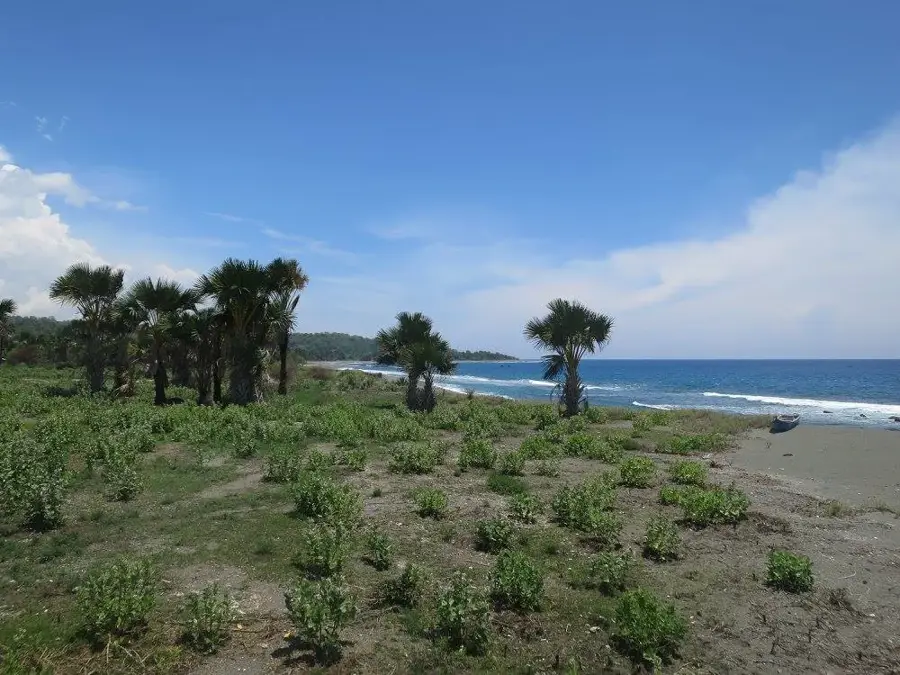
Mount Curi, also known as Monte Kuri, is a prominent coastal mountain in the Manatuto District on the northern coast of Timor-Leste. Rising to an elevation of approximately 1,332 meters, it looms steeply behind the towns of Laleia and Laclo, serving as a landmark visible from great distances. The mountain massif is primarily composed of limestone and is characterized by a rugged karst landscape with sharp ridges and caves. Due to its isolated location and specific soil conditions, a unique ecosystem of dry tropical forest and open eucalyptus savanna has been preserved here. Mount Curi is designated as a protected area and an Important Bird Area (IBA), as it provides one of the most critical habitats for the endangered Timor sparrow. The flora includes specialized species adapted to the long dry periods typical of the northern coast. For the local population, the mountain is not only an important ecological regulator for the microclimate but also a culturally significant site with traditional ceremonial grounds.
- Location: Timor-Leste
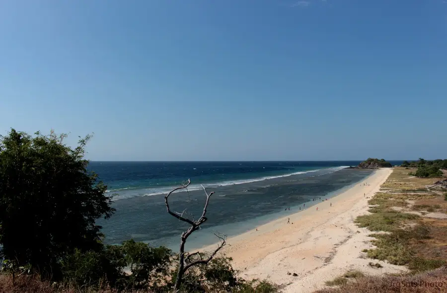
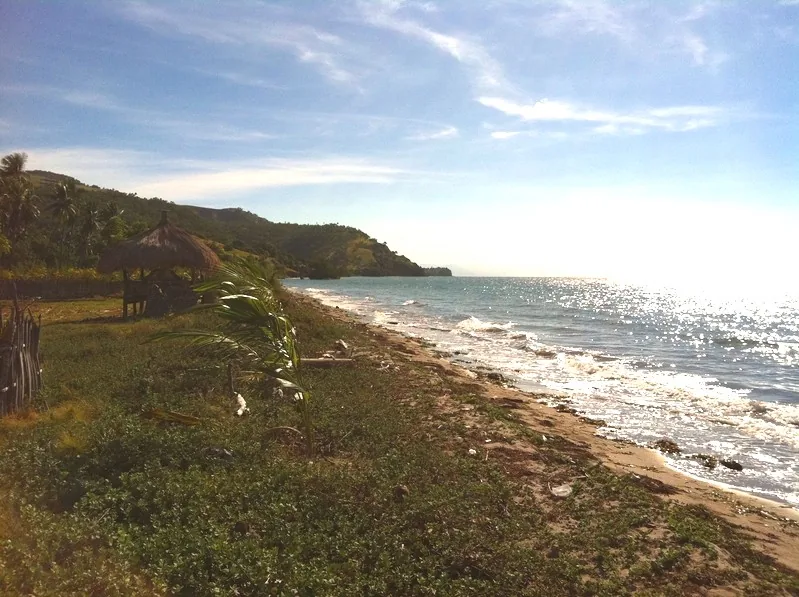
- Top sights: Behau Beach (Km 41) · Snorkeling spot · Mount Curi
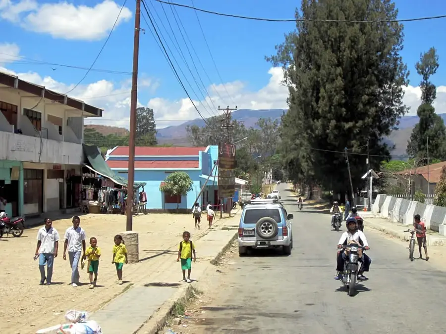
- Nearby: Manatuto (9 km)
Best time to visit & climate
The most pleasant time to visit is Jun–Aug.
| Jan | Feb | Mar | Apr | May | Jun | Jul | Aug | Sep | Oct | Nov | Dec | |
|---|---|---|---|---|---|---|---|---|---|---|---|---|
| Avg °C | 27 | 26 | 27 | 27 | 26 | 25 | 25 | 25 | 26 | 28 | 29 | 28 |
| Rain mm | 225 | 188 | 116 | 54 | 35 | 22 | 9 | 4 | 4 | 11 | 51 | 156 |
📋 Practical info
Geography
Facts
- Mount Curi reaches a summit elevation of 1,332 meters.
- The mountain is located in the Laclo administrative post, Manatuto District.
- It is an officially recognized Important Bird Area (IBA).
- The endangered Timor sparrow is frequently sighted in this area.
- The vegetation includes significant stands of endemic Eucalyptus alba.
- The mountain's steep slopes are vital for the region's water catchment.
Explore nearby
Notable places around
Route planner — Car & Motorhome
Where do you start? We build the route here, with stops and country notes along the way.
© OpenStreetMap contributors · OpenRouteService
Sights in the town Mount Curi (5)
Sights nearby
Frequently asked questions
Is it easy to climb Mount Curi?
Is there a view from the summit?
Do you need a guide?
What is the best time of day?
Are there water sources there?
Mount Curi: where is it located?
Mount Curi: what is there to see?
Mount Curi: when is the best time to visit?
Mount Curi: why is it worth visiting?

Nearby cities

History & landmarks
Nature
More places