Plizio Visual Lab
Mount Lari Guto

Weather…
Water temperature…
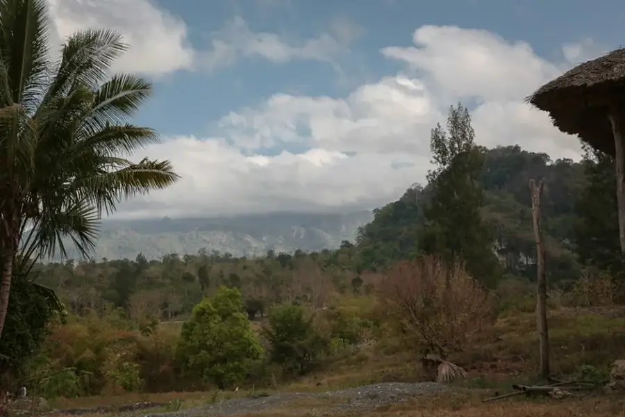
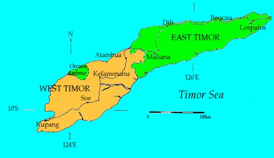
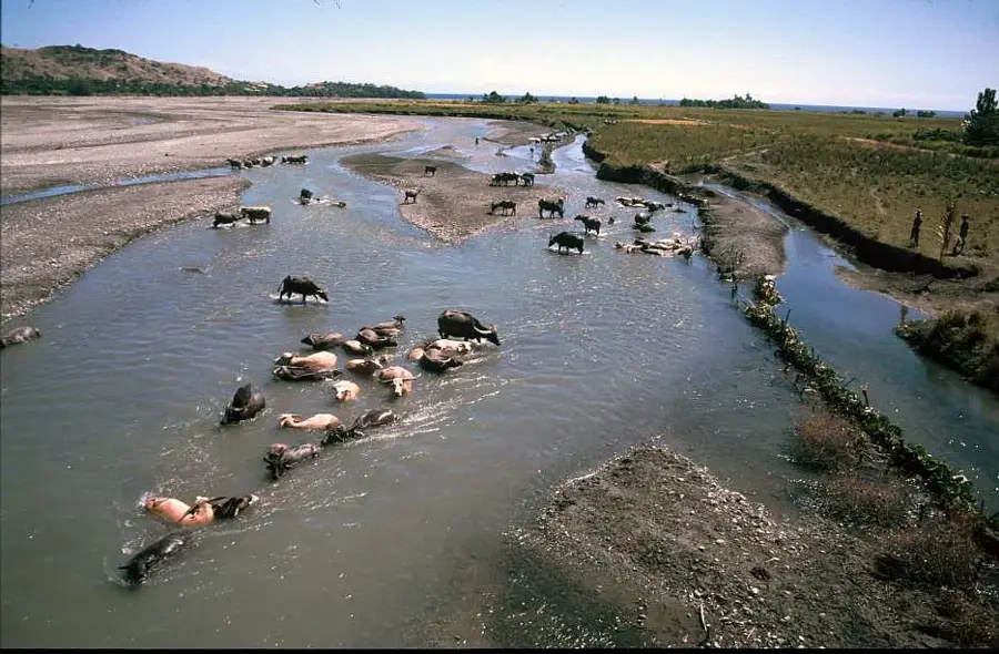
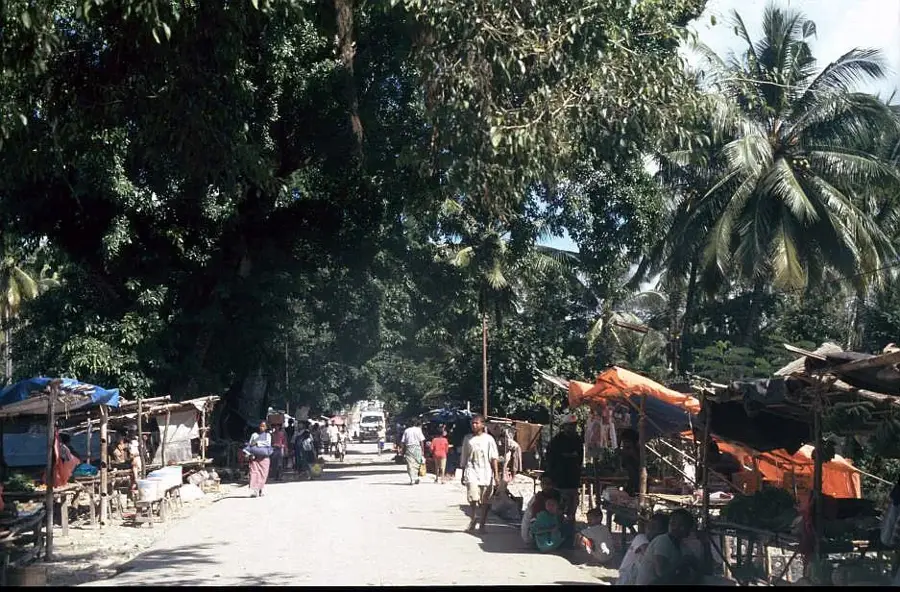
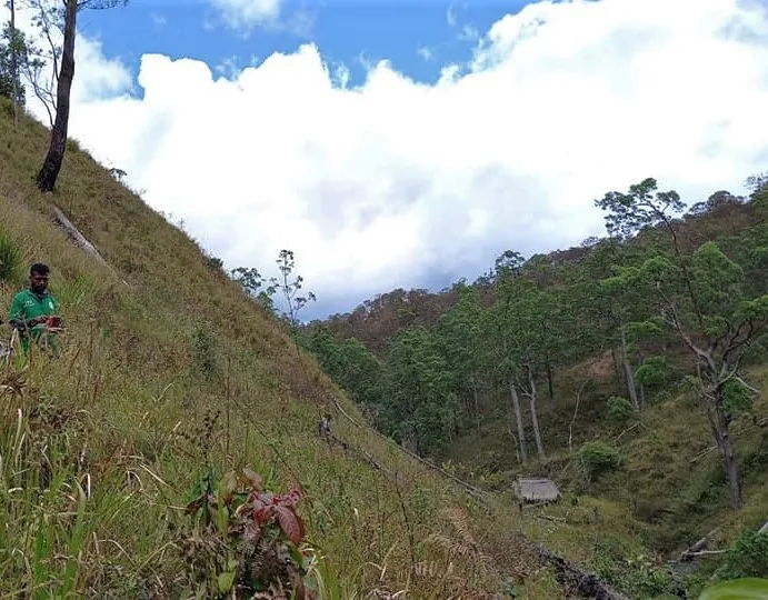
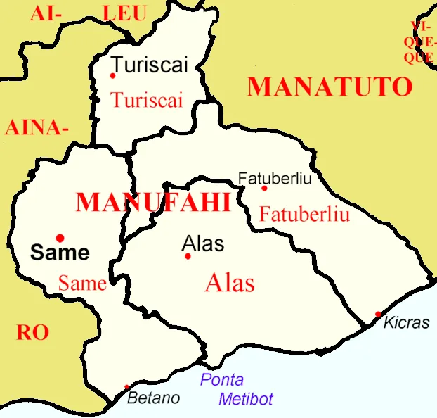
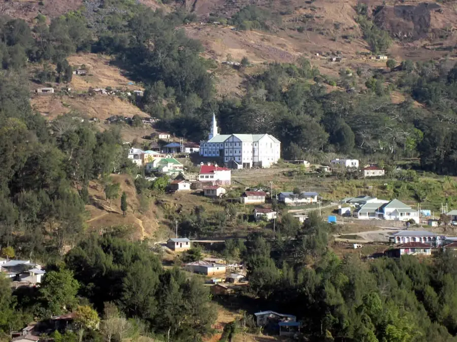
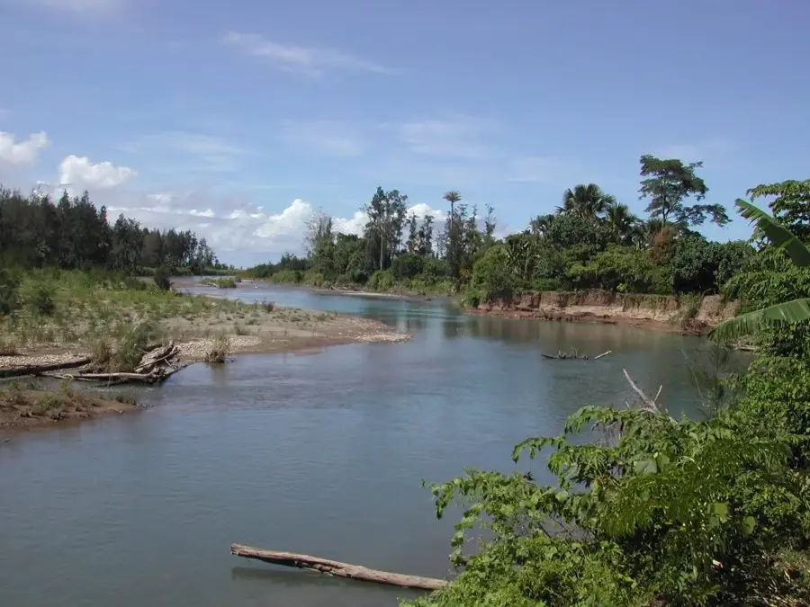
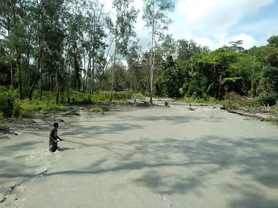
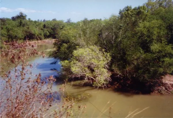
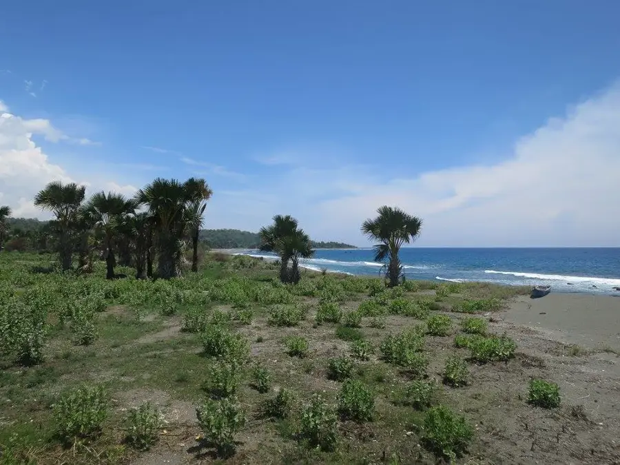
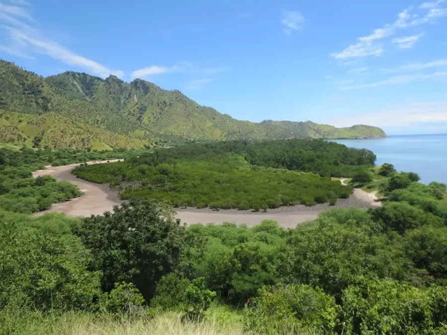
Mount Lari Guto is a significant mountain peak in the central region of Timor-Leste, situated on the border between the Manatuto and Viqueque municipalities. Rising to an elevation of approximately 1,300-1,400 meters, it serves as a defining element of the local topography, offering panoramic views of the surrounding valleys and mountain ridges. The geology of the mountain is marked by limestone formations and steep slopes typical of the central mountain ranges of Timor island. In the nation's history, the region around Lari Guto played a role as a retreat area for guerrilla fighters during the conflict in the late 20th century. The flora includes a mix of eucalyptus savannas and denser forest patches in sheltered locations, which host a variety of native animal species. Local communities utilize the foothills of the mountain for cultivating coffee and other crops that thrive in the cooler mountain climate. Today, the mountain is an important destination for geographical studies and nature enthusiasts looking to explore the pristine landscapes of Timor-Leste.
- Location: Timor-Leste
- Nearby: Laleia (11 km)
Best time to visit & climate
The most pleasant time to visit is Jun–Aug.
| Jan | Feb | Mar | Apr | May | Jun | Jul | Aug | Sep | Oct | Nov | Dec | |
|---|---|---|---|---|---|---|---|---|---|---|---|---|
| Avg °C | 27 | 26 | 27 | 27 | 26 | 25 | 25 | 25 | 26 | 28 | 29 | 28 |
| Rain mm | 225 | 188 | 116 | 54 | 35 | 22 | 9 | 4 | 4 | 11 | 51 | 156 |
📋 Practical info
Geography
Facts
- Elevation: approx. 1,300-1,400 meters
- Located on the Manatuto-Viqueque border
- Integral part of the central mountain range
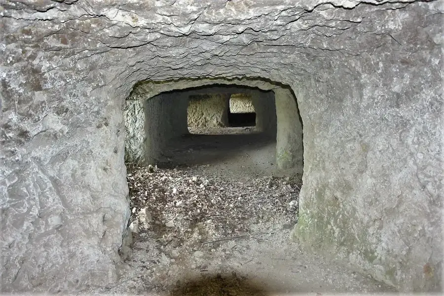
- Historical hideout for Falintil resistance fighters
- Vegetation consists of eucalyptus and tropical forest
- The area is vital for high-altitude coffee farming
Explore nearby
Notable places around
Route planner — Car & Motorhome
Where do you start? We build the route here, with stops and country notes along the way.
© OpenStreetMap contributors · OpenRouteService
Sights nearby
Frequently asked questions
Is Berg Lari Guto family-friendly?
Is a permit required for climbing?
How long does a summit tour take?
Are there mountain huts on Berg Lari Guto?
Is Berg Lari Guto accessible in winter?
Mount Lari Guto: where is it located?
Mount Lari Guto: when is the best time to visit?
Mount Lari Guto: why is it worth visiting?

Nearby cities
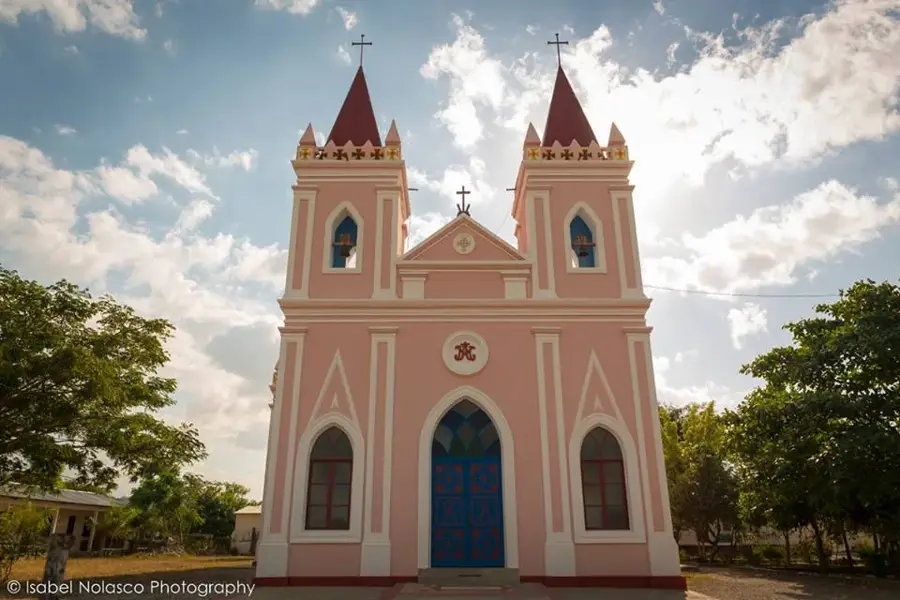

History & landmarks
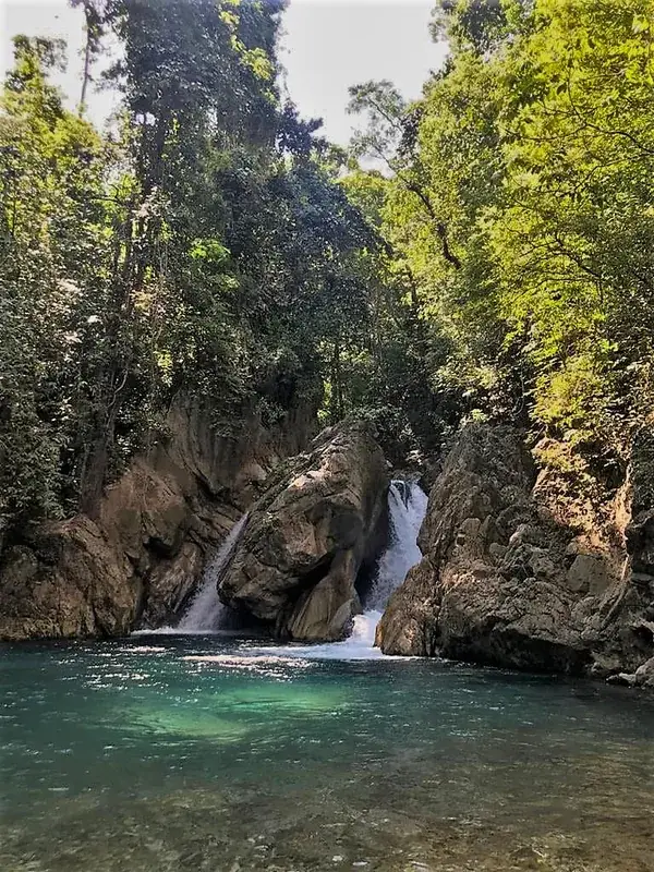
Nature

More places