Plizio Visual Lab
Mount Builo

Weather…
Water temperature…
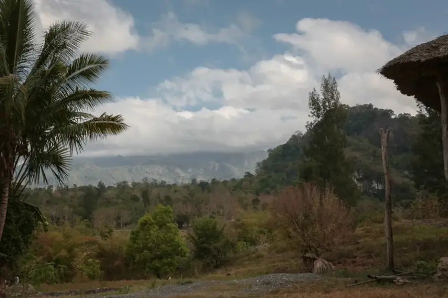
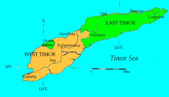
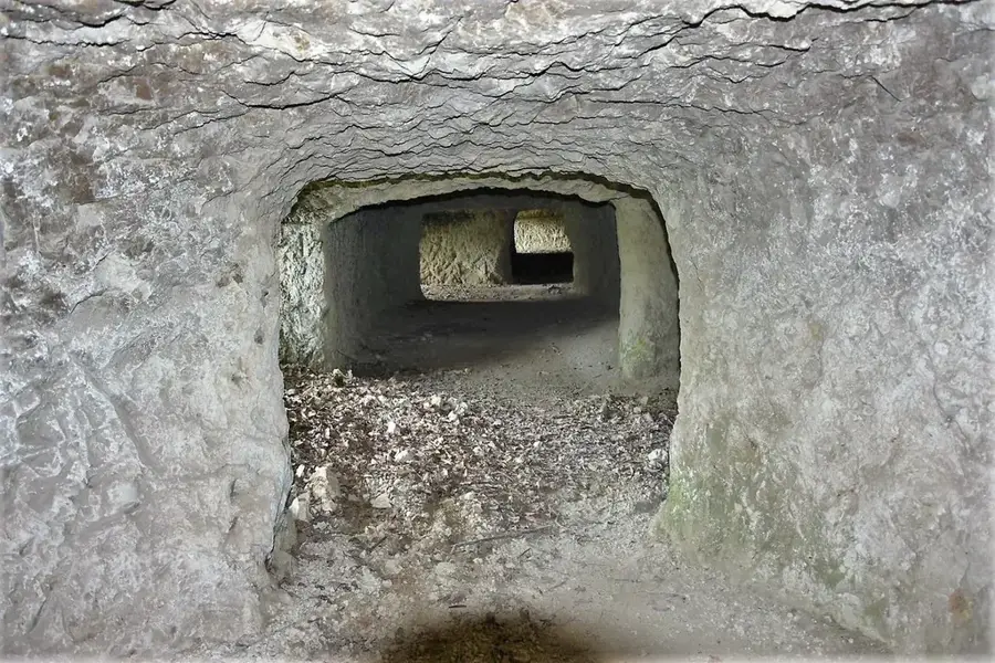
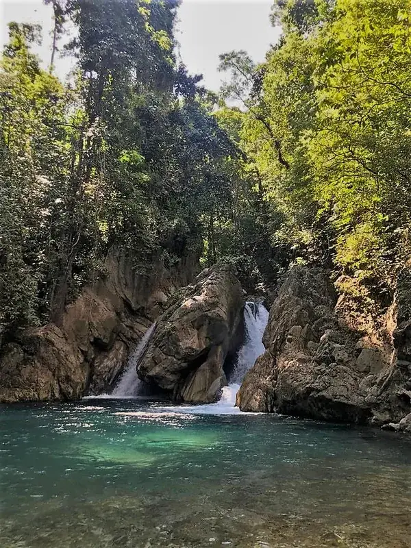
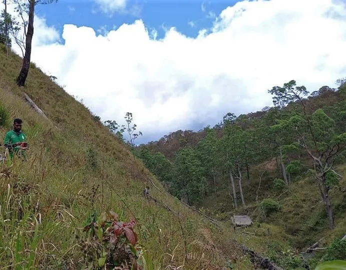
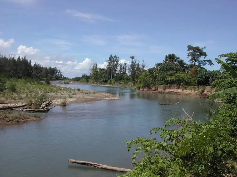
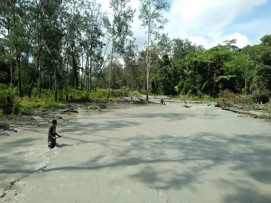
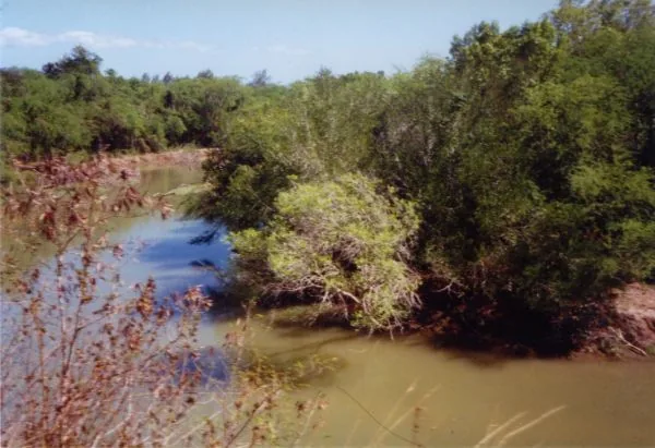
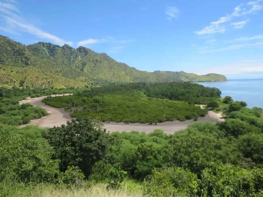
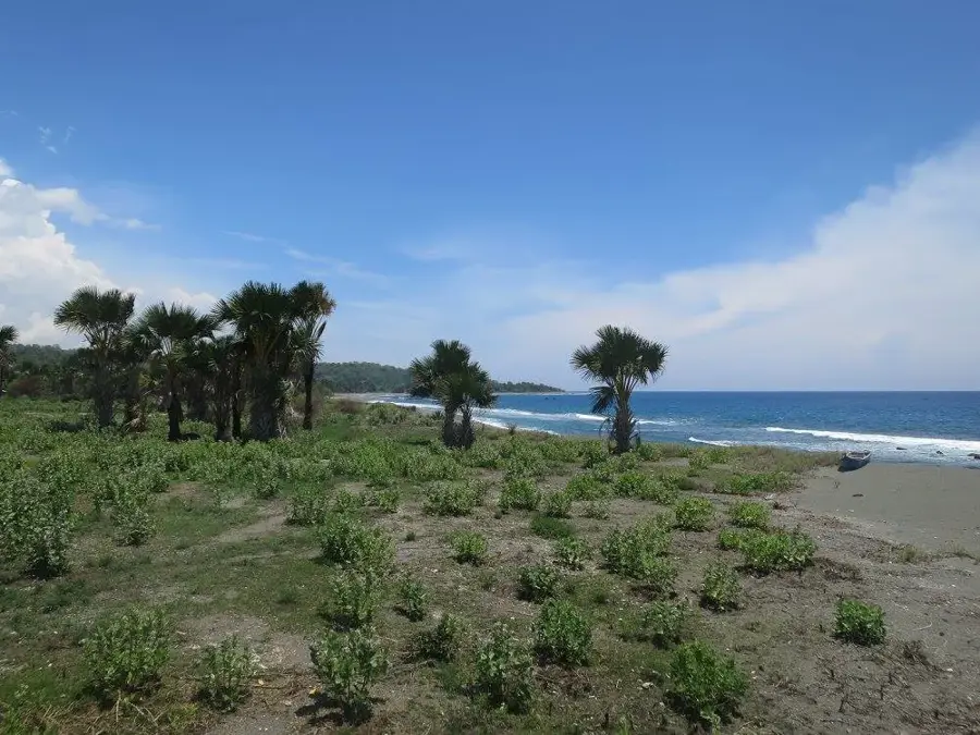
Mount Builo is a prominent limestone massif located in the Viqueque municipality, near the administrative town of Ossu in Timor-Leste. Reaching an elevation of approximately 1,234 meters, it dominates the landscape of the island's southeastern central region. Geologically, Builo is characterized by spectacular karst formations, deep cave systems, and rugged cliffs, which are typical of Timor's complex tectonic history. During the struggle for independence against Indonesia, the inaccessible caves of the Builo massif served as strategic hideouts and operational bases for the FALINTIL guerrillas. The vegetation on its slopes consists of dense montane rainforests and grasslands, where numerous endemic plant species flourish. The mountain also serves as a crucial watershed for the region, as several springs emerge from its limestone layers to irrigate the surrounding rice fields. For the local people, Mount Builo holds sacred significance and is the site of traditional ceremonies that reflect a deep respect for ancestors and the natural world.
- Location: Timor-Leste
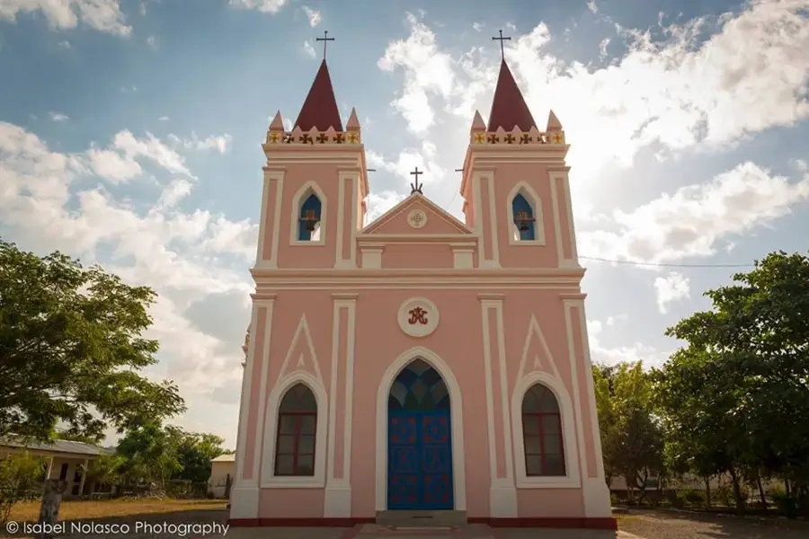
- Top sights: Capela de Cai-Rui · Capela Uaicnassa · Capela Uaigae
- Nearby: Laleia (6 km)
Best time to visit & climate
The most pleasant time to visit is Jun–Aug.
| Jan | Feb | Mar | Apr | May | Jun | Jul | Aug | Sep | Oct | Nov | Dec | |
|---|---|---|---|---|---|---|---|---|---|---|---|---|
| Avg °C | 27 | 26 | 27 | 27 | 26 | 25 | 25 | 25 | 26 | 28 | 29 | 28 |
| Rain mm | 225 | 188 | 116 | 54 | 35 | 22 | 9 | 4 | 4 | 11 | 51 | 156 |
📋 Practical info
Geography
Facts
- Elevation of approximately 1,234 meters
- Located in Viqueque municipality near Ossu
- Composed of massive limestone karst
- Former strategic hideout for FALINTIL guerrillas
- Critical watershed for local rice irrigation
- Considered a sacred site by local communities
Explore nearby
Notable places around
Route planner — Car & Motorhome
Where do you start? We build the route here, with stops and country notes along the way.
© OpenStreetMap contributors · OpenRouteService
Sights in the town Mount Builo (5)
Sights nearby
Frequently asked questions
How difficult is climbing Berg Builo?
Is a local guide necessary?
How is the weather at the summit?
Are there water sources on the way?
What is the best travel time?
Mount Builo: where is it located?
Mount Builo: what is there to see?
Mount Builo: when is the best time to visit?
Mount Builo: why is it worth visiting?

Nearby cities

History & landmarks
Nature

More places