Plizio Visual Lab
Alichur Valley
Weather…
Water temperature…
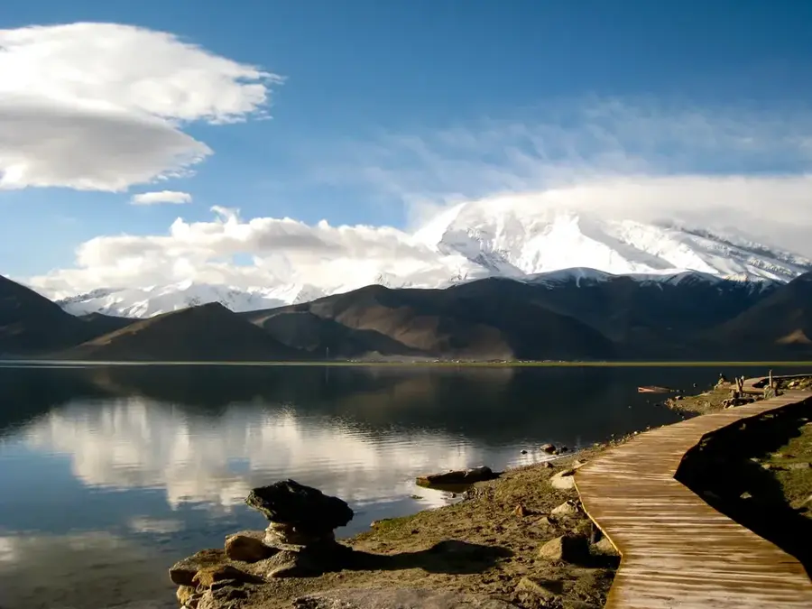
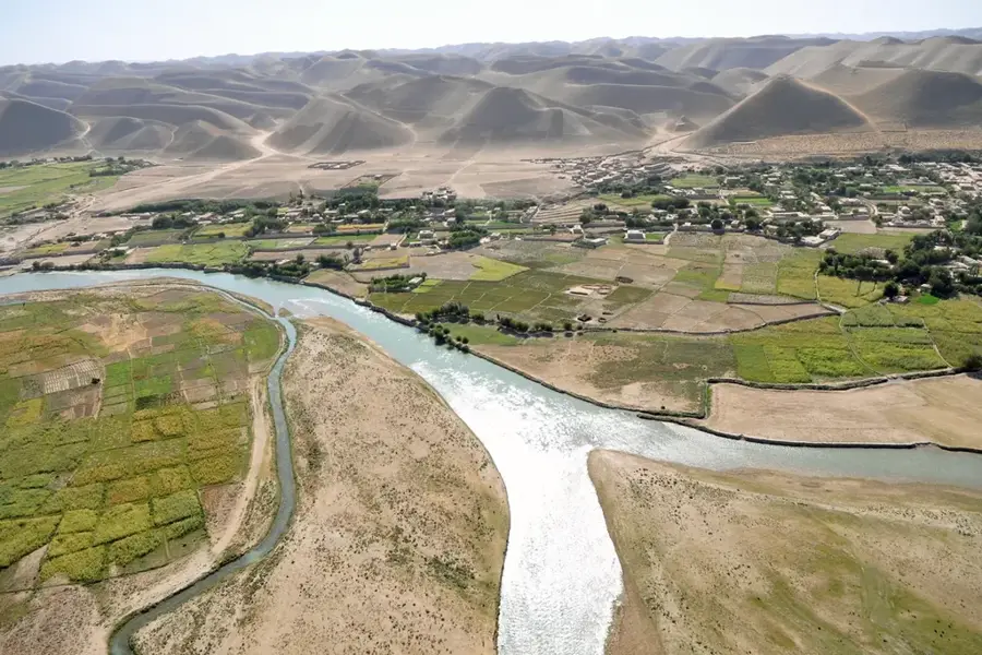
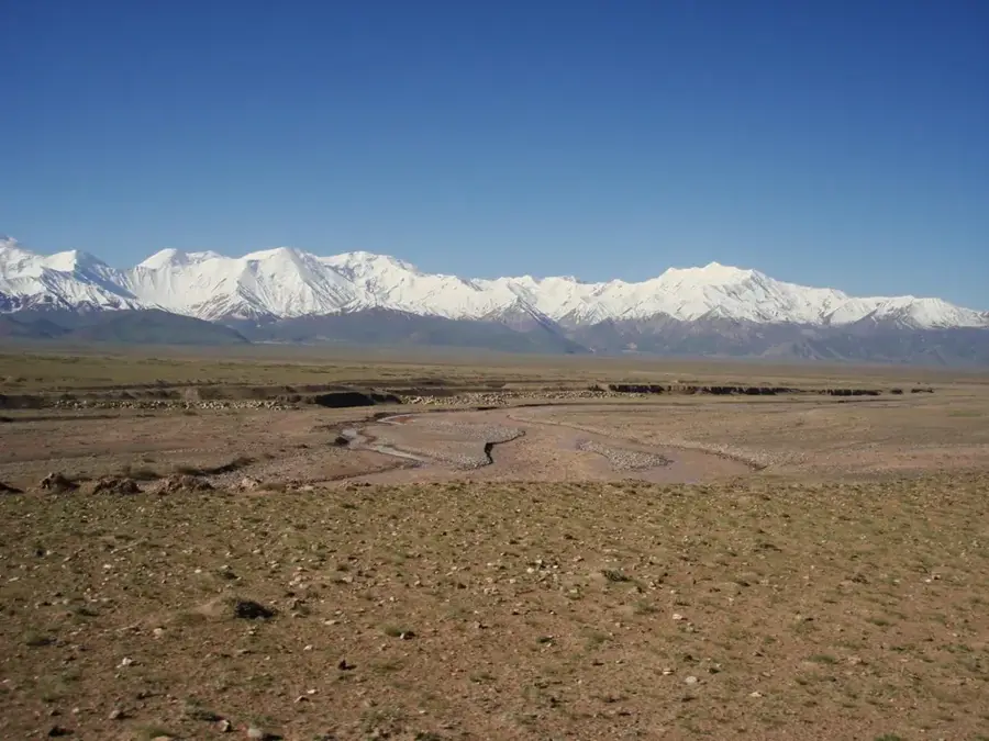
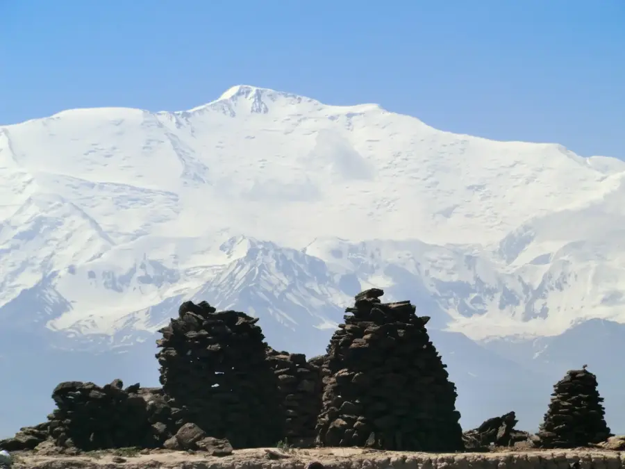
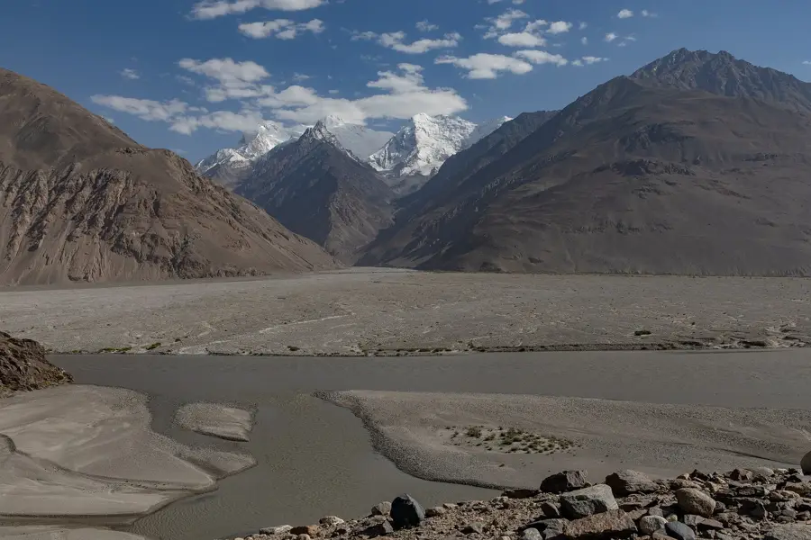
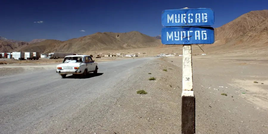
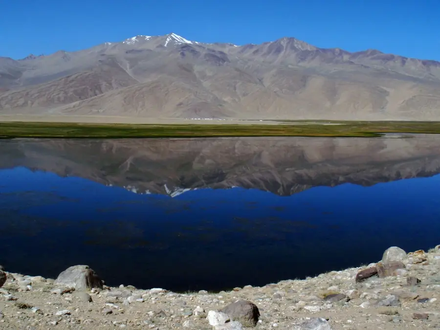
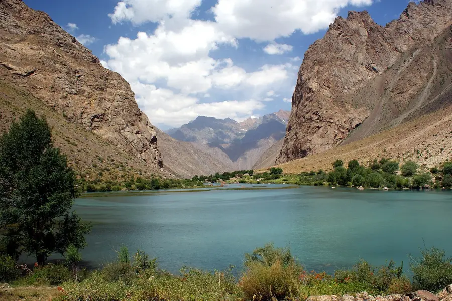
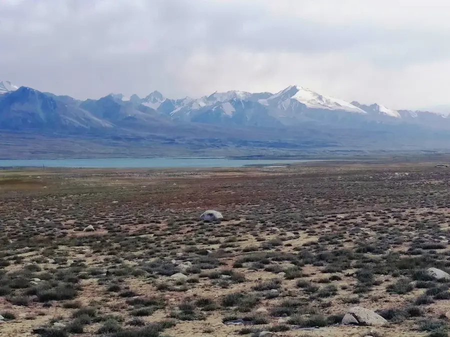
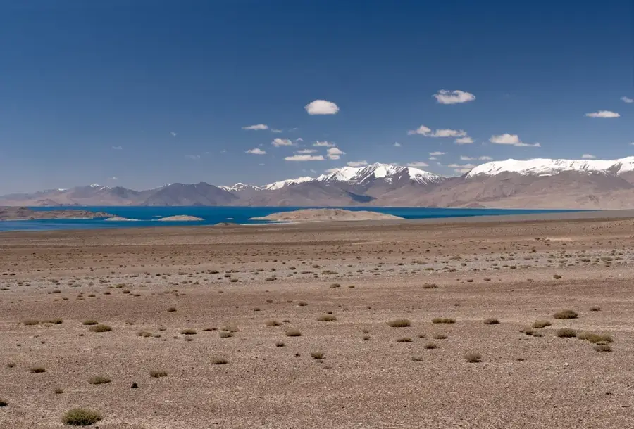
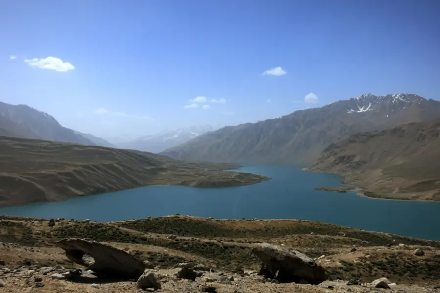
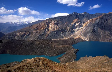
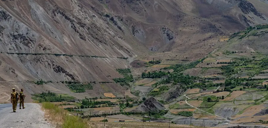
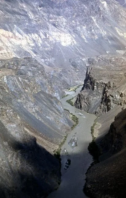
The Alichur Valley is a vast, high-altitude basin located in the Eastern Pamir of Tajikistan, situated at an average elevation of 3,800 to 4,000 meters. Stretching for about 65 kilometers, the valley is bordered by the Alichur Range to the north and the South Alichur Range to the south. The landscape is characterized by a barren, treeless alpine tundra, shaped by extreme cold and very low annual rainfall. At the western end of the valley lies the remarkable Yashilkul Lake, formed by a natural dam and drained by the Gunt River. The region is primarily inhabited by Kyrgyz nomads who graze their yaks and sheep on the sparse alpine pastures during the summer months. Archaeological findings, including Bronze Age burial mounds and ancient petroglyphs, demonstrate a human presence spanning millennia despite the harsh environment. The valley is also a significant resting point for migratory birds and home to large populations of marmots and rare birds of prey. Geomorphologically, it is a glacially molded plateau featuring wide gravel plains and seasonal wetlands.
- Location: Tajikistan
- Nearby: Bulunkul (51 km)
Best time to visit & climate
The most pleasant time to visit is Jun–Aug.
| Jan | Feb | Mar | Apr | May | Jun | Jul | Aug | Sep | Oct | Nov | Dec | |
|---|---|---|---|---|---|---|---|---|---|---|---|---|
| Avg °C | -18 | -16 | -10 | -4 | 0 | 4 | 8 | 7 | 2 | -4 | -10 | -15 |
| Rain mm | 7 | 7 | 8 | 11 | 7 | 5 | 4 | 3 | 3 | 3 | 5 | 6 |
📋 Practical info
Geography
Facts
- The Alichur Valley sits at an elevation of 3,800 to 4,000 meters.
- Yashilkul Lake, located in the valley, covers about 36 square kilometers.
- The valley extends for a total length of approximately 65 kilometers.
- Bronze Age burial mounds provide evidence of ancient human habitation.
- The average annual temperature in the valley is close to 0 degrees Celsius.
- The region is a key summer grazing ground for Kyrgyz yak herders.
Explore nearby
Notable places around
Route planner — Car & Motorhome
Where do you start? We build the route here, with stops and country notes along the way.
© OpenStreetMap contributors · OpenRouteService
Sights nearby
Frequently asked questions
What is typical for the Alitschur-Tal valley?
Is the valley easily accessible?
Are there nomads there?
Do I need a guide for the valley?
When is the best time for wildlife viewing?
Alichur Valley: where is it located?
Alichur Valley: when is the best time to visit?
Alichur Valley: why is it worth visiting?

Nearby cities
History & landmarks
Nature

More places