Plizio Visual Lab
Murghab Plateau
Weather…
Water temperature…
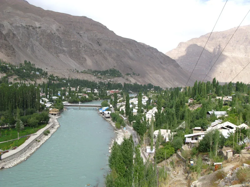
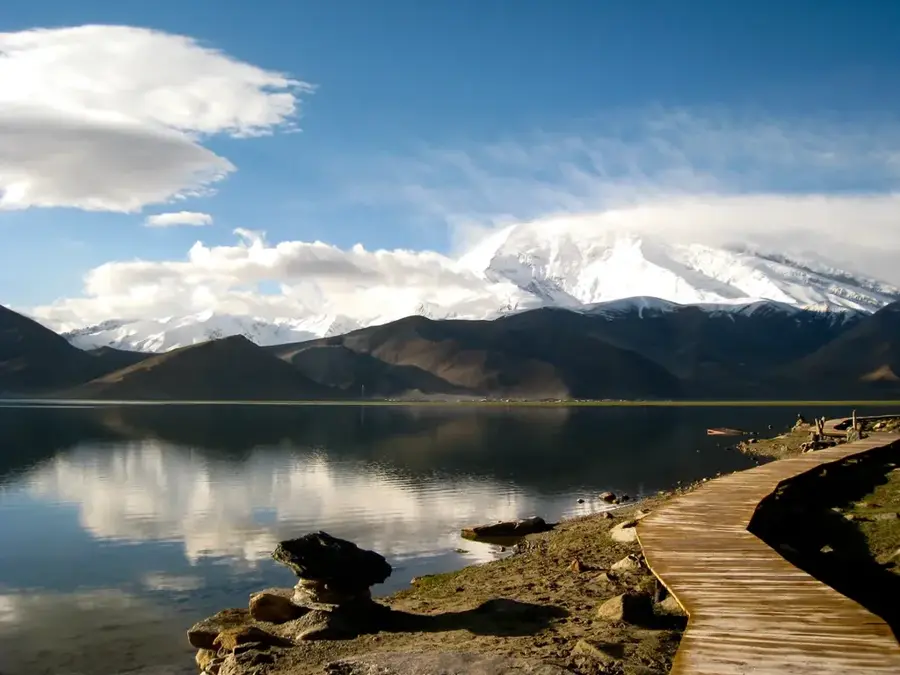
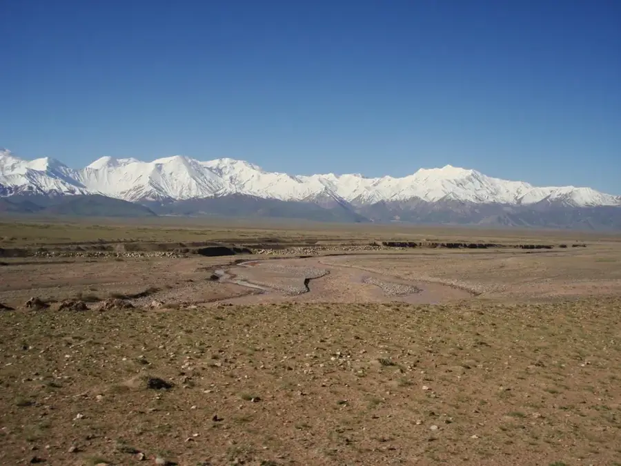
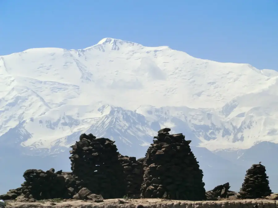
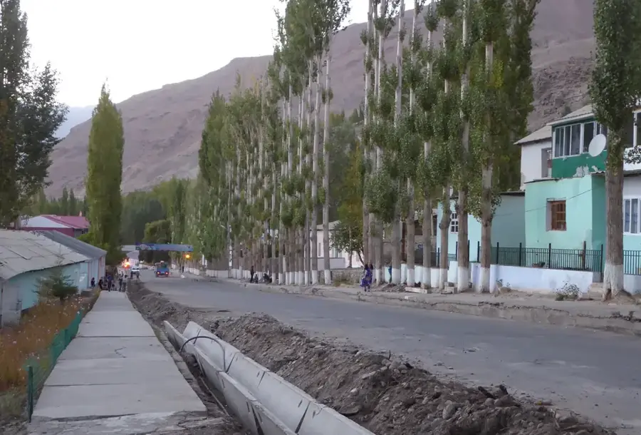
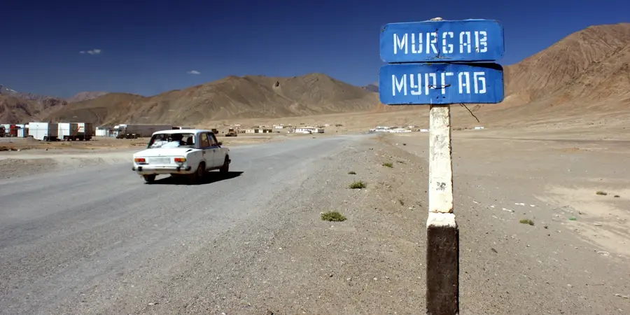
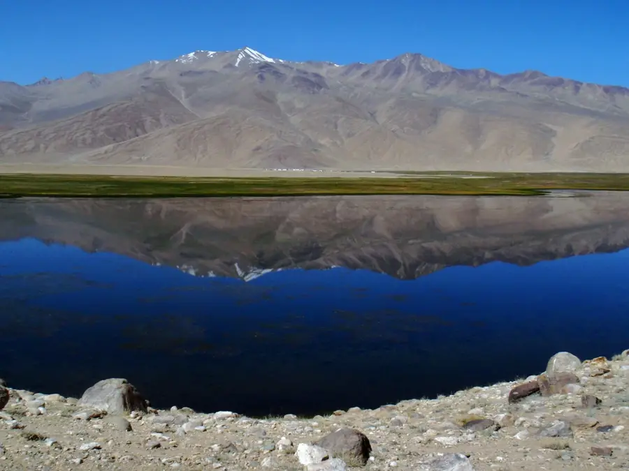
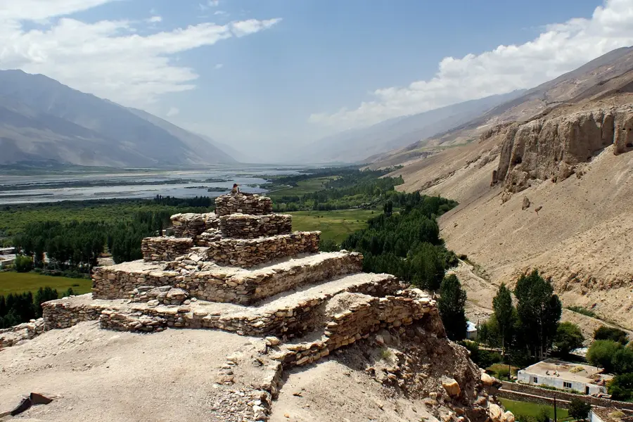
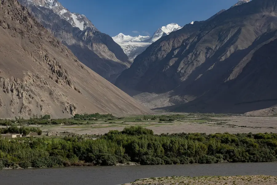
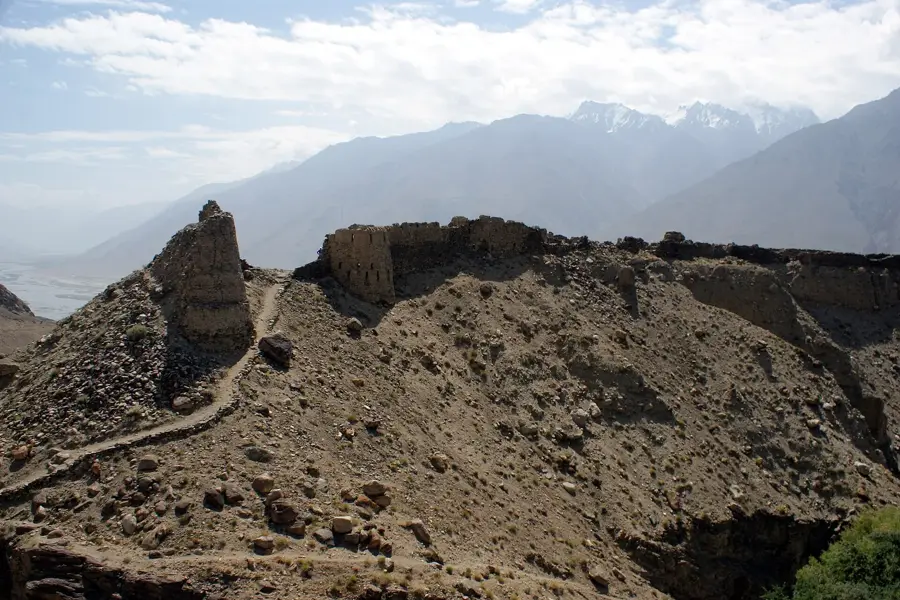
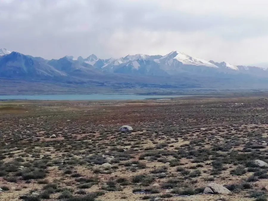
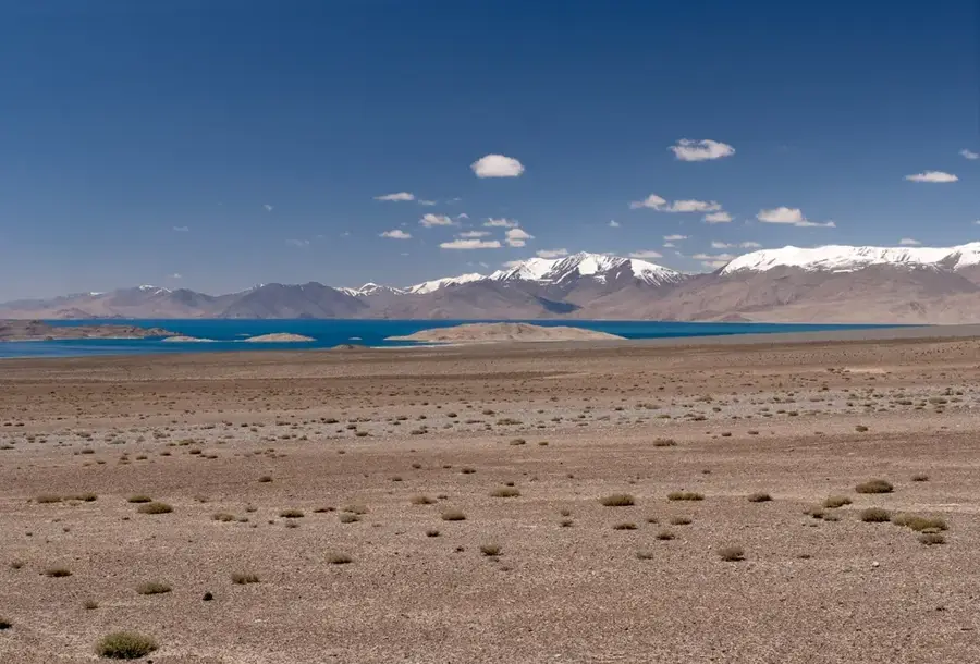
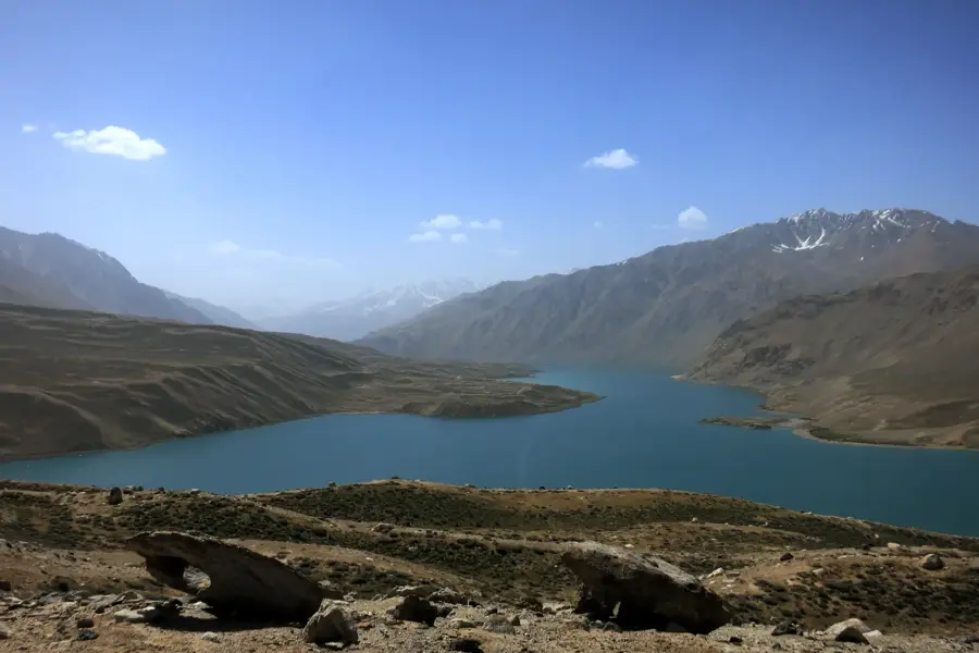
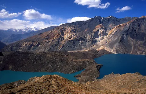
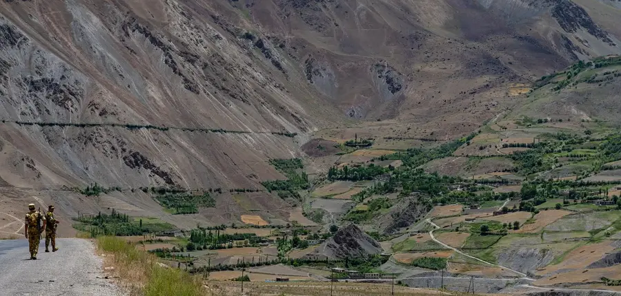
The Murghab Plateau is a vast, high-altitude mountain desert in the Eastern Pamir of Tajikistan, situated at an average elevation of over 3,500 meters. This region is one of the most sparsely populated and mysterious landscapes in Central Asia, characterized by wide open plains and rugged mountain peaks. The climate is extremely continental and arid, with harsh winters where temperatures often plummet below -40 degrees Celsius. The namesake settlement of Murghab is the highest town in Tajikistan and serves as a crucial supply hub along the Pamir Highway. The landscape feels almost otherworldly, featuring saline soils, sparse vegetation, and endless gravel fields. The region is primarily inhabited by ethnic Kyrgyz people who maintain a nomadic lifestyle and are famous for their yak herding. Geologically, the plateau is part of a tectonically active area formed by the uplift of the Pamir knot. The plateau also hosts significant archaeological sites, including Scythian burial mounds, pointing to a long history of human presence. For travelers, it gives one of the most pristine and extreme natural environments on Earth.
- Location: Tajikistan
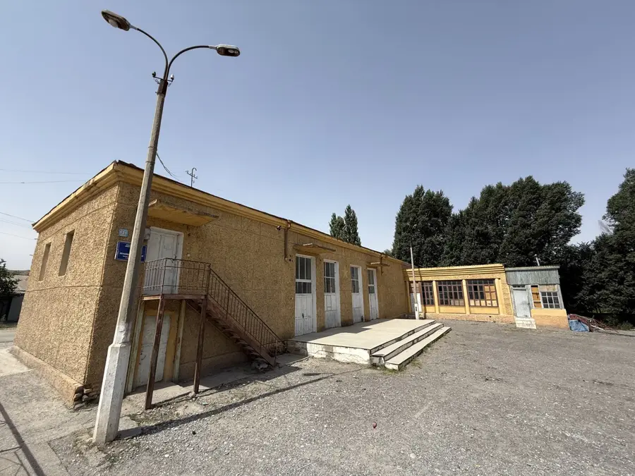
- Top sights: Bazar, vse est' · Sary Kol Bazar
Best time to visit & climate
The most pleasant time to visit is Jun–Aug.
| Jan | Feb | Mar | Apr | May | Jun | Jul | Aug | Sep | Oct | Nov | Dec | |
|---|---|---|---|---|---|---|---|---|---|---|---|---|
| Avg °C | -18 | -16 | -10 | -4 | 0 | 4 | 8 | 7 | 2 | -4 | -10 | -15 |
| Rain mm | 7 | 7 | 8 | 11 | 7 | 5 | 4 | 3 | 3 | 3 | 5 | 6 |
📋 Practical info
Geography
Facts
- The town of Murghab is located at an elevation of 3,612 meters above sea level.
- Winter temperatures on the plateau can drop as low as -50 degrees Celsius.
- The nearby Ak-Baital Pass (4,655m) is the highest point of the Pamir Highway.
- Yak herding is the primary economic activity for the nomadic inhabitants.
- The plateau is notable for its complete lack of naturally occurring trees.
- Ancient Scythian burial mounds have been discovered across the plateau.
Explore nearby
Notable places around
Route planner — Car & Motorhome
Where do you start? We build the route here, with stops and country notes along the way.
© OpenStreetMap contributors · OpenRouteService
Sights in the town Murghab Plateau (2)
Sights nearby
Frequently asked questions
What exactly is the Murghab plateau?
Can it be visited as a tourist?
Do I need a special vehicle?
How is the medical care?
What is most famous in Murghab?
Murghab Plateau: where is it located?
Murghab Plateau: what is there to see?
Murghab Plateau: when is the best time to visit?
Murghab Plateau: why is it worth visiting?

Nearby cities
History & landmarks
Nature

More places