Plizio Visual Lab
Pamir Mountains

Weather…
Water temperature…
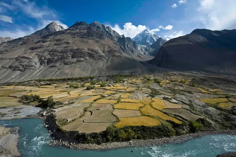
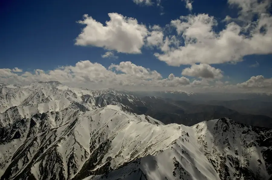
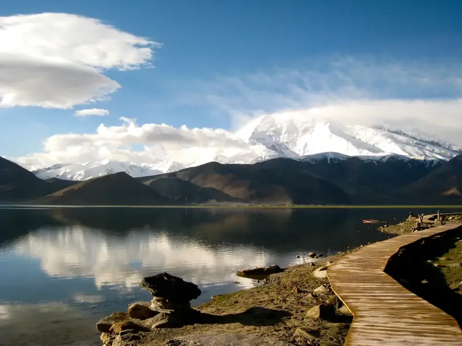
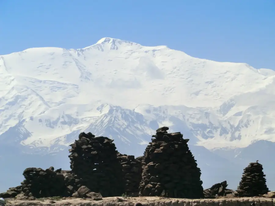
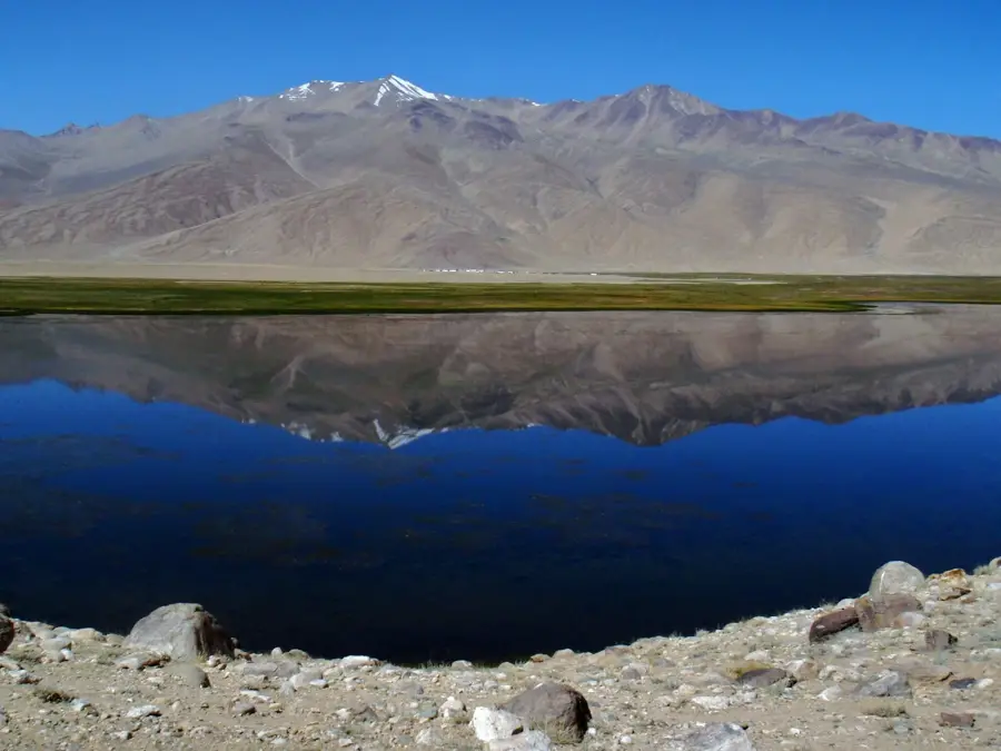
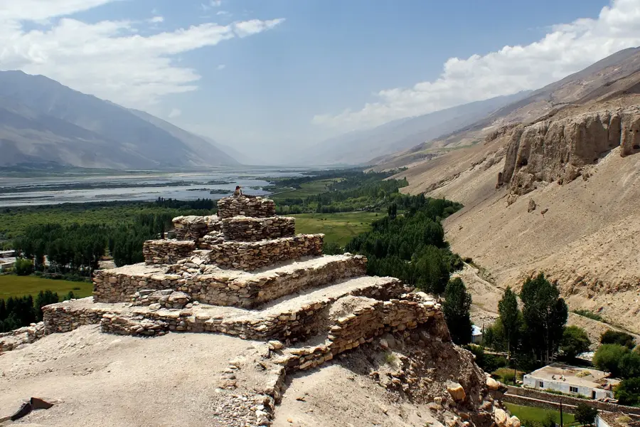
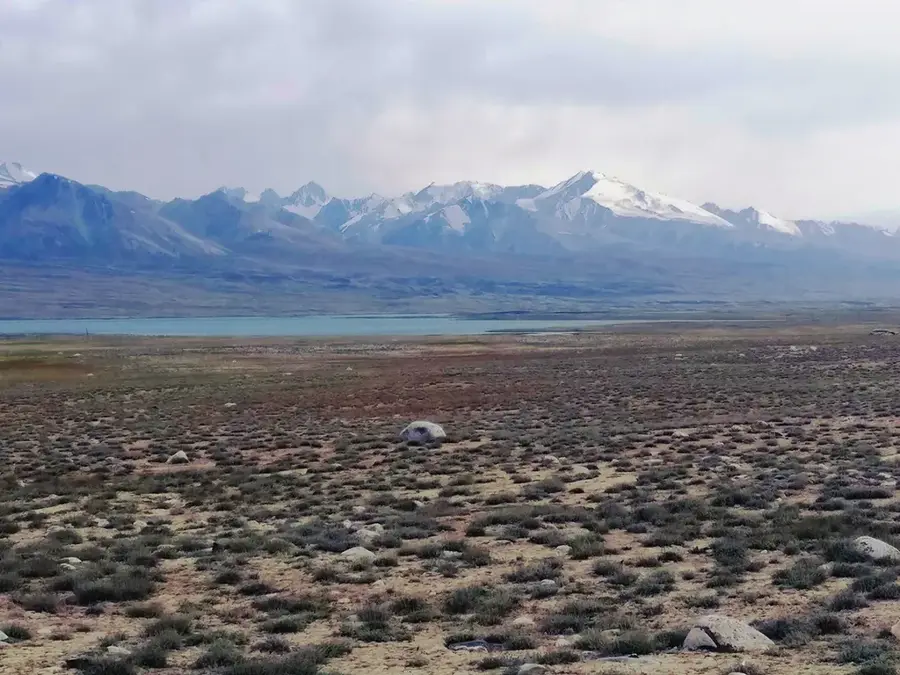
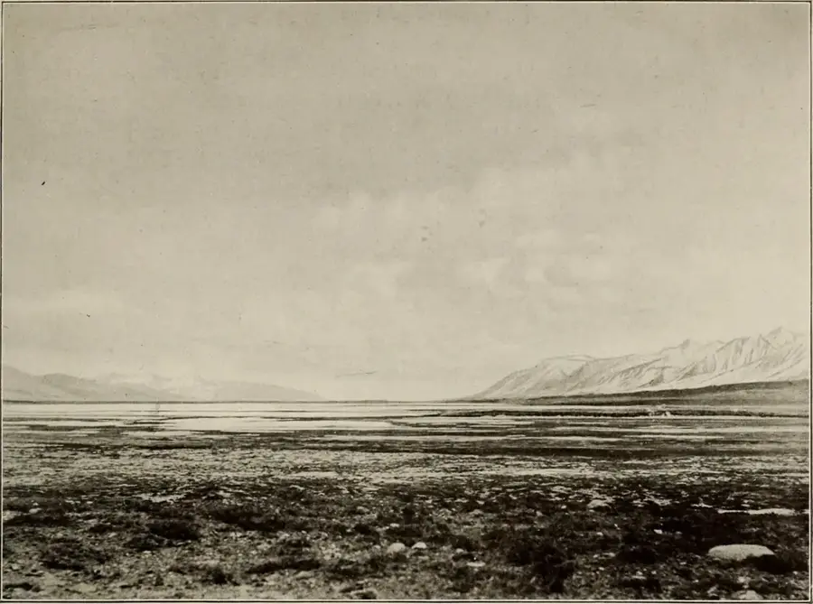
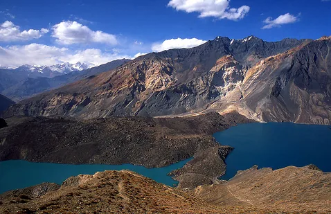
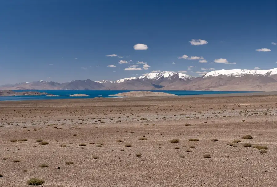
The Pamir Mountains, often referred to as the "Roof of the World," form one of the highest and most remote mountain systems on Earth. In Afghanistan, the Pamir range extends primarily through the narrow Wakhan Corridor in the northeast, where it converges with the Hindu Kush. The landscape is defined by barren high-altitude plateaus and glaciated peaks that reach elevations exceeding 6,000 meters. Historically, the range served as a critical junction on the Silk Road, where traders and explorers like Marco Polo navigated its challenging mountain passes. Geologically, the Pamirs were formed by the collision of the Indian and Eurasian tectonic plates, resulting in a complex orogenic structure. Ecologically, the Afghan Pamir provides a sanctuary for rare wildlife, including the Marco Polo sheep and the elusive snow leopard. Despite the harsh climate and grueling winters, the region has been home to semi-nomadic Kyrgyz herders for centuries.
Best time to visit & climate
The most pleasant time to visit is Jun–Aug.
| Jan | Feb | Mar | Apr | May | Jun | Jul | Aug | Sep | Oct | Nov | Dec | |
|---|---|---|---|---|---|---|---|---|---|---|---|---|
| Avg °C | -19 | -17 | -12 | -6 | -1 | 3 | 6 | 6 | 1 | -5 | -11 | -17 |
| Rain mm | 11 | 11 | 13 | 16 | 9 | 5 | 4 | 3 | 2 | 4 | 9 | 9 |
📋 Practical info
Geography
Facts
- The Pamir is a mountain knot where the Himalayas, Karakoram, Hindu Kush, and Tian Shan meet.
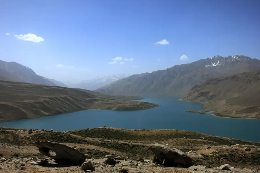
- The average elevation of the Pamir plateau is over 4,000 meters above sea level.
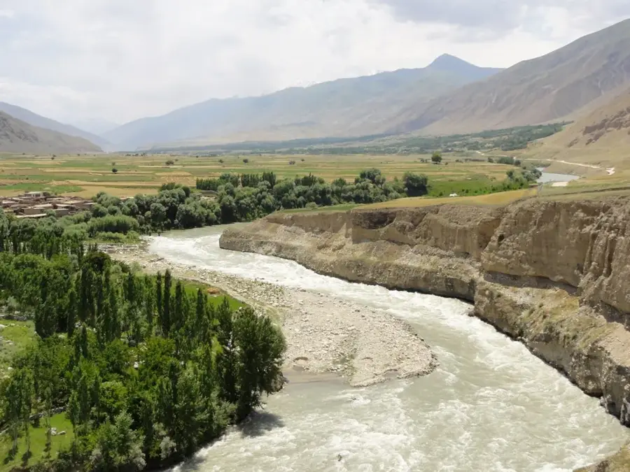
- The Panj River, a major headwater of the Amu Darya, originates in this mountain range.
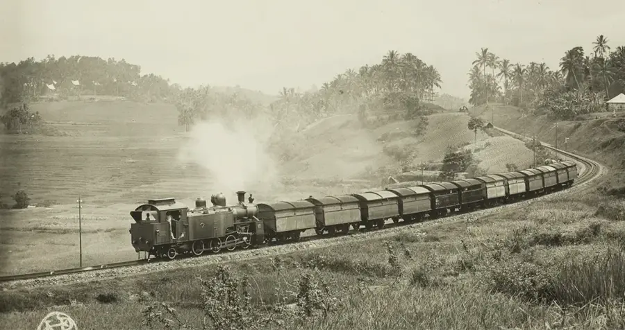
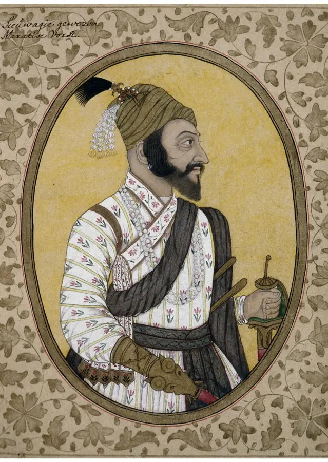
- Marco Polo documented the region in the 13th century during his travels across Asia.
- The Marco Polo sheep is famous for its spiraling horns, which can grow up to 1.9 meters long.
- Winter temperatures in the Afghan Pamir can plummet to below -40 degrees Celsius.
Explore nearby
Notable places around
Route planner — Car & Motorhome
Where do you start? We build the route here, with stops and country notes along the way.
© OpenStreetMap contributors · OpenRouteService
Sights in the town Pamir Mountains (1)
Sights nearby
Frequently asked questions
What is the Pamir Mountains?
When is the best time to travel there?
Is the mountain range suitable for beginners?
What is the Pamir known for scenically?
Do you need a lot of time?
Pamir Mountains: where is it located?
Pamir Mountains: when is the best time to visit?
Pamir Mountains: why is it worth visiting?

Nearby cities
History & landmarks
Nature

More places