Plizio Visual Lab
Trans-Alay Range
Weather…
Water temperature…
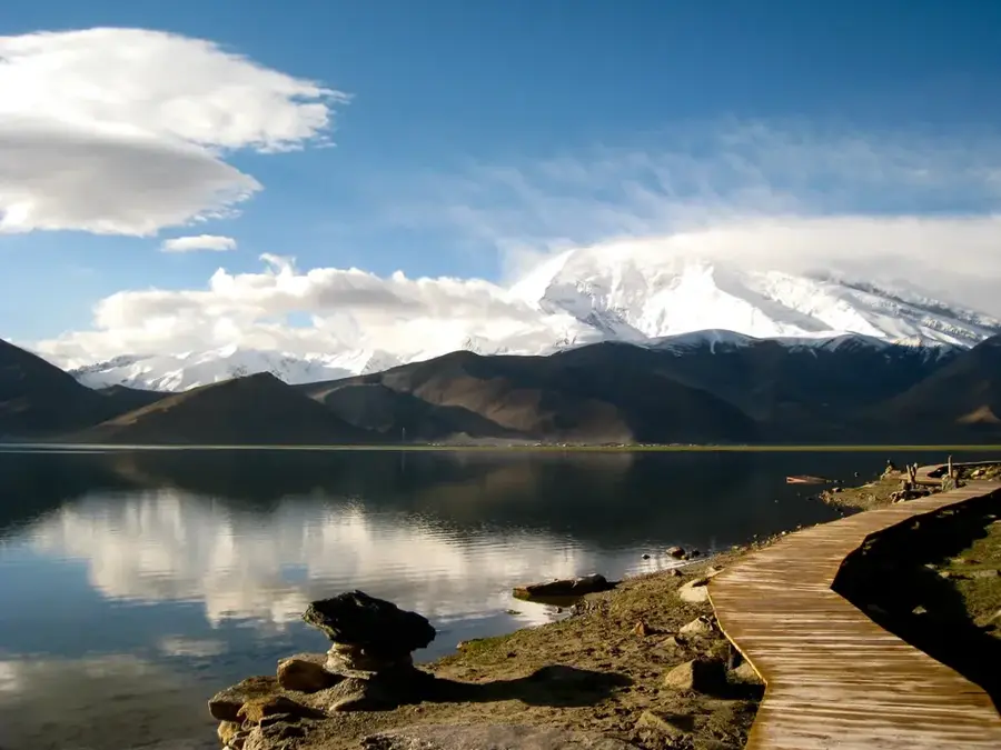
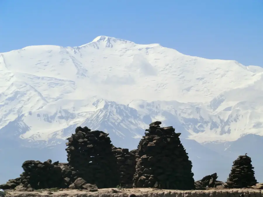
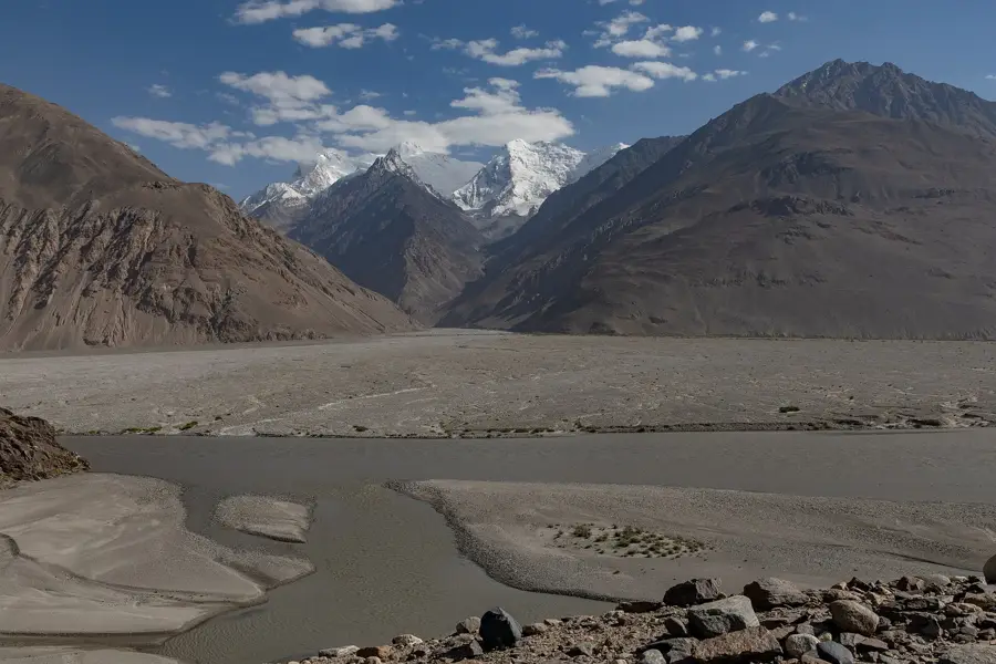
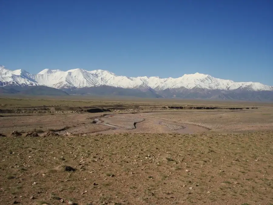
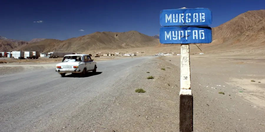
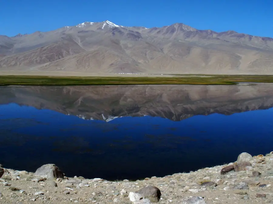
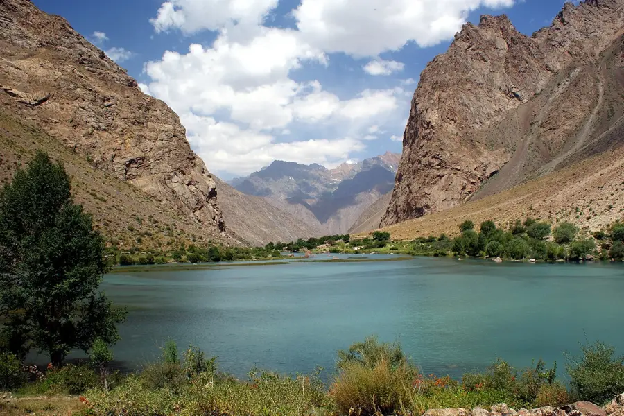
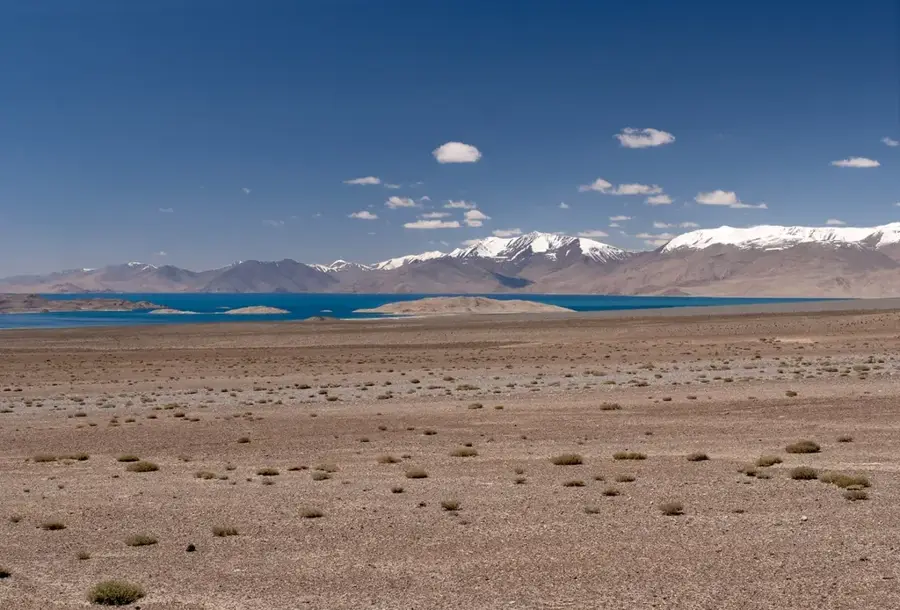
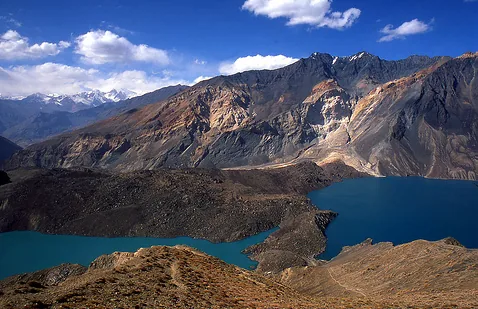
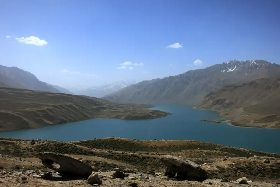
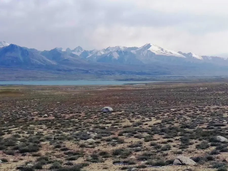
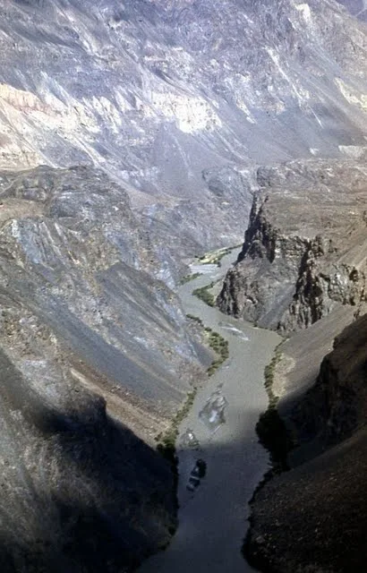
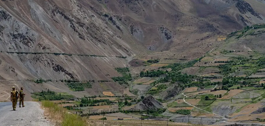
The Trans-Alay Range is a significant mountain chain in the northern Pamir system, forming the natural border between Tajikistan and Kyrgyzstan. Extending approximately 240 kilometers from east to west, the range reaches its highest elevation at Lenin Peak, which rises to 7,134 meters. Geographically, it separates the Alay Valley to the north from the high Pamir plateau to the south. The northern slopes are notably steep and rugged, falling sharply toward the valley, while the southern slopes descend more gradually. The range is heavily glaciated, with over 500 individual glaciers covering a combined area of about 1,400 square kilometers. The Kyzyl-Art Pass at 4,280 meters is the most important mountain pass in the range, serving as a critical link on the Pamir Highway. Geologically, it consists of schists, limestones, and volcanic rocks formed by the ongoing collision of tectonic plates. Despite the arid continental climate, the Trans-Alay Range is home to unique alpine flora and fauna adapted to high-altitude living.
- Location: Tajikistan
- Nearby: Bulunkul (56 km)
Best time to visit & climate
The most pleasant time to visit is Jun–Aug.
| Jan | Feb | Mar | Apr | May | Jun | Jul | Aug | Sep | Oct | Nov | Dec | |
|---|---|---|---|---|---|---|---|---|---|---|---|---|
| Avg °C | -18 | -16 | -11 | -4 | 0 | 3 | 5 | 5 | 1 | -4 | -10 | -16 |
| Rain mm | 13 | 17 | 21 | 20 | 18 | 13 | 7 | 12 | 2 | 8 | 23 | 15 |
📋 Practical info
Geography
Facts
- Lenin Peak is the highest point of the range, reaching 7,134 meters.
- The range stretches across a distance of approximately 240 kilometers.
- More than 500 glaciers cover an area of roughly 1,400 square kilometers.
- The Kyzyl-Art Pass is located at an elevation of 4,280 meters.
- The range forms the international border between Tajikistan and Kyrgyzstan.
- The northern slopes drop sharply into the Alay Valley by nearly 3,000 meters.
Explore nearby
Notable places around
Route planner — Car & Motorhome
Where do you start? We build the route here, with stops and country notes along the way.
© OpenStreetMap contributors · OpenRouteService
Sights nearby
Frequently asked questions
Is the Transalai-Kette suitable for cycling tours?
What are the road conditions like?
Are there accommodations along the way?
How is drinking water handled?
Is warm clothing needed in summer?
Trans-Alay Range: where is it located?
Trans-Alay Range: when is the best time to visit?
Trans-Alay Range: why is it worth visiting?

Nearby cities
History & landmarks
Nature

More places