Plizio Visual Lab
Muzkol Range
Weather…
Water temperature…
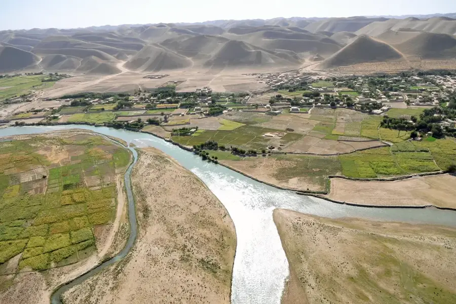
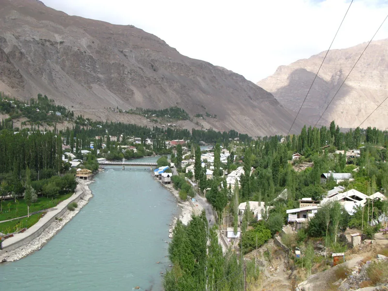
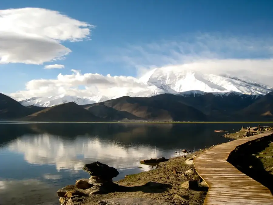
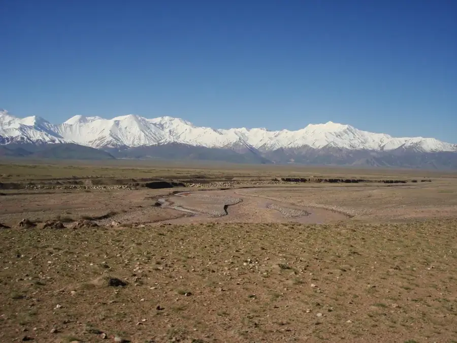
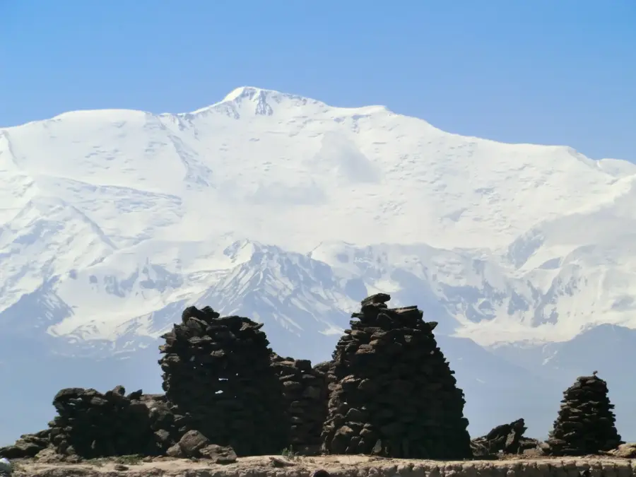
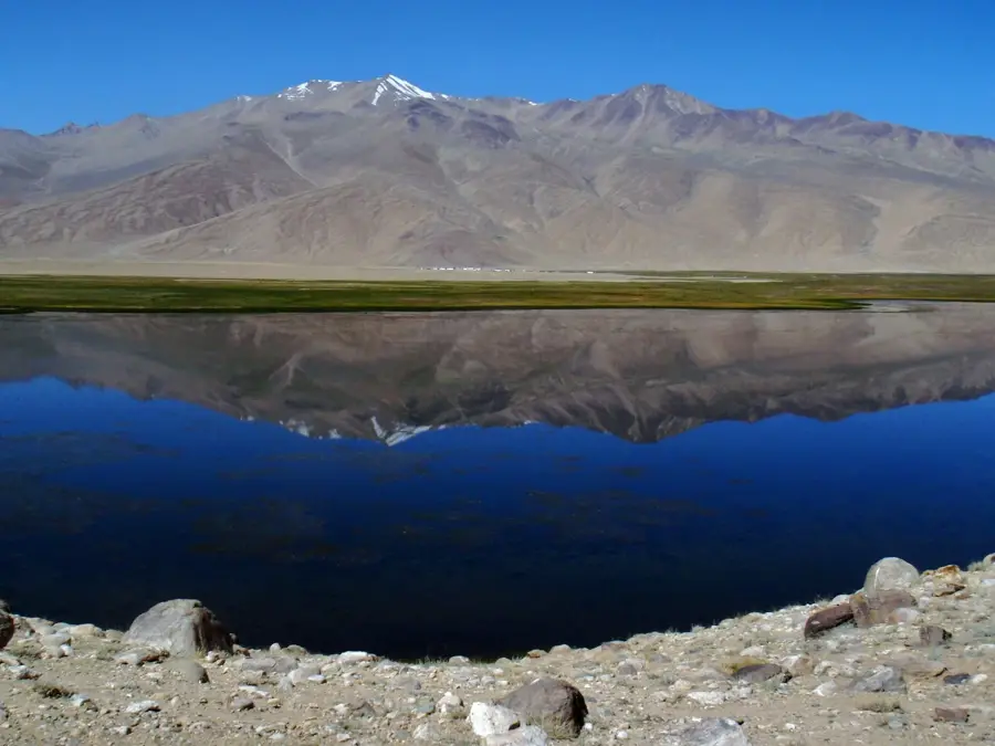
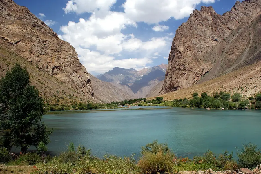
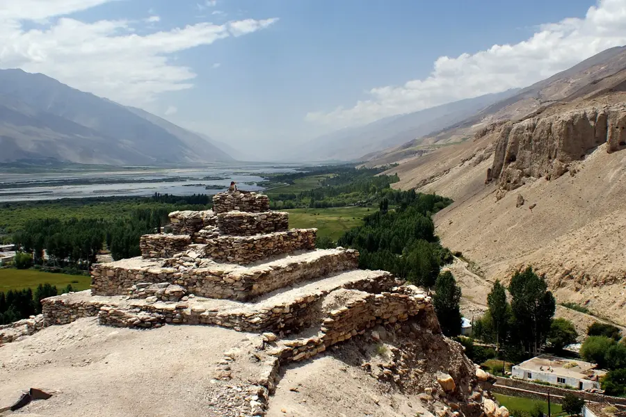
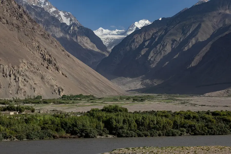
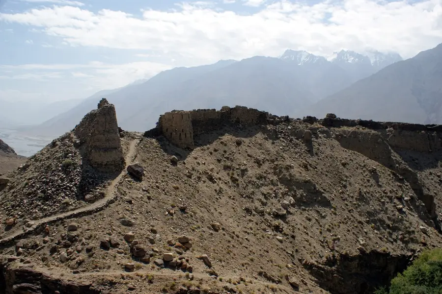
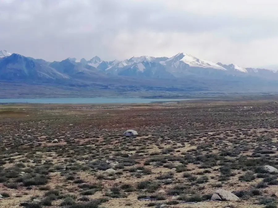
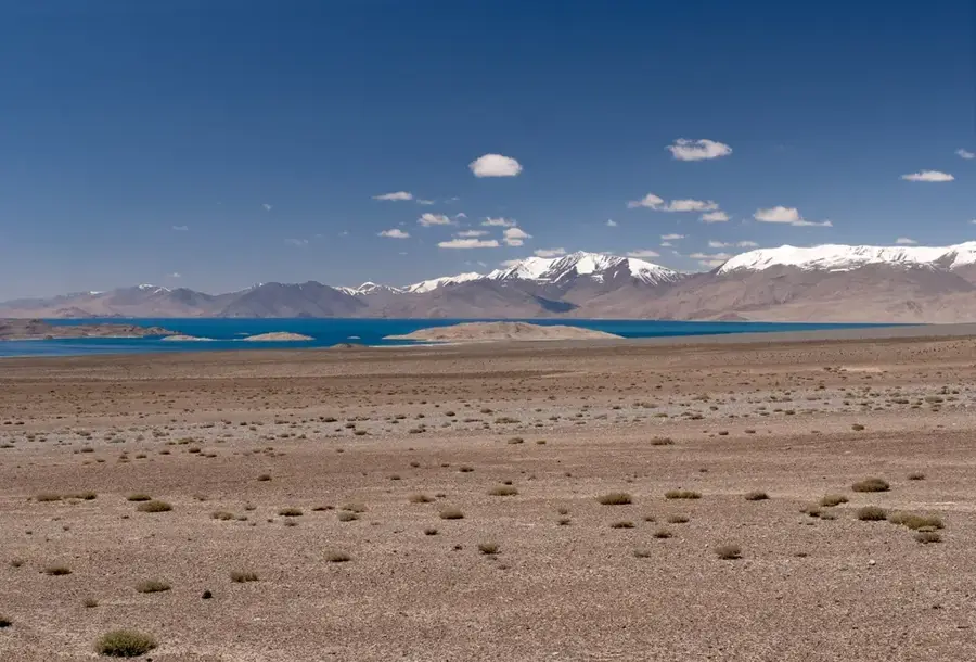
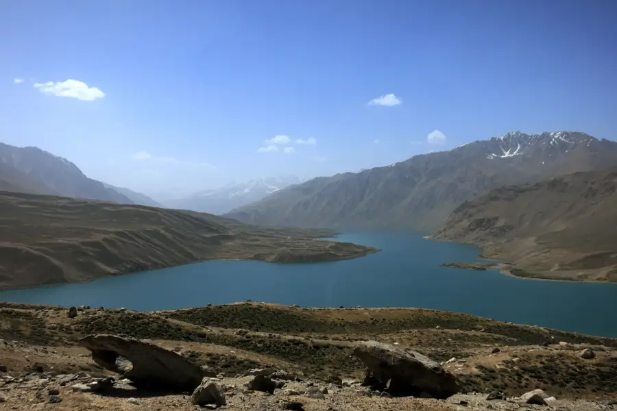
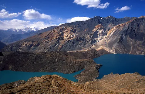
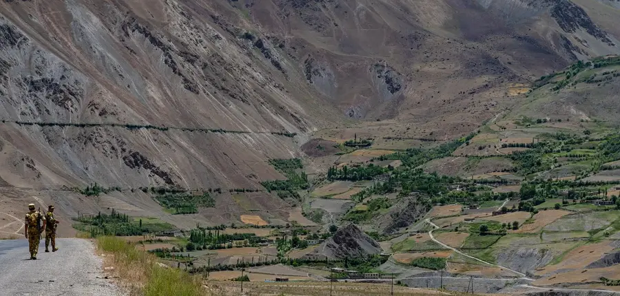
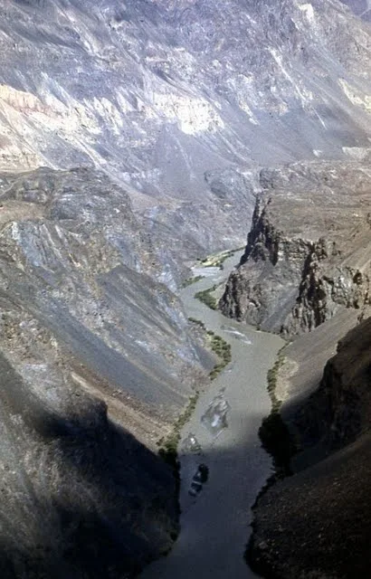
The Muzkol Range is situated in the central Pamir of Tajikistan, located north of the Murghab River. This mountain range spans approximately 110 kilometers and is renowned for its jagged peaks and deep, narrow gorges. Its highest elevation is Soviet Officers Peak, which reaches an altitude of 6,233 meters. Geologically, the range is primarily composed of limestone, schist, and marble, which gives it a distinct and often pale appearance. Despite the extreme aridity of the central Pamir, the Muzkol Range supports significant glaciation, covering an area of about 250 square kilometers. The climate is high-alpine and desert-like, characterized by very low precipitation and dramatic temperature fluctuations between day and night. Vegetation is sparse, consisting mainly of resilient cushion plants and grasses. The region is largely uninhabited by humans but serves as a crucial habitat for rare species such as the Marco Polo sheep and the snow leopard. The Muzkol Range features pristine landscapes for scientific study and high-altitude trekking.
- Location: Tajikistan
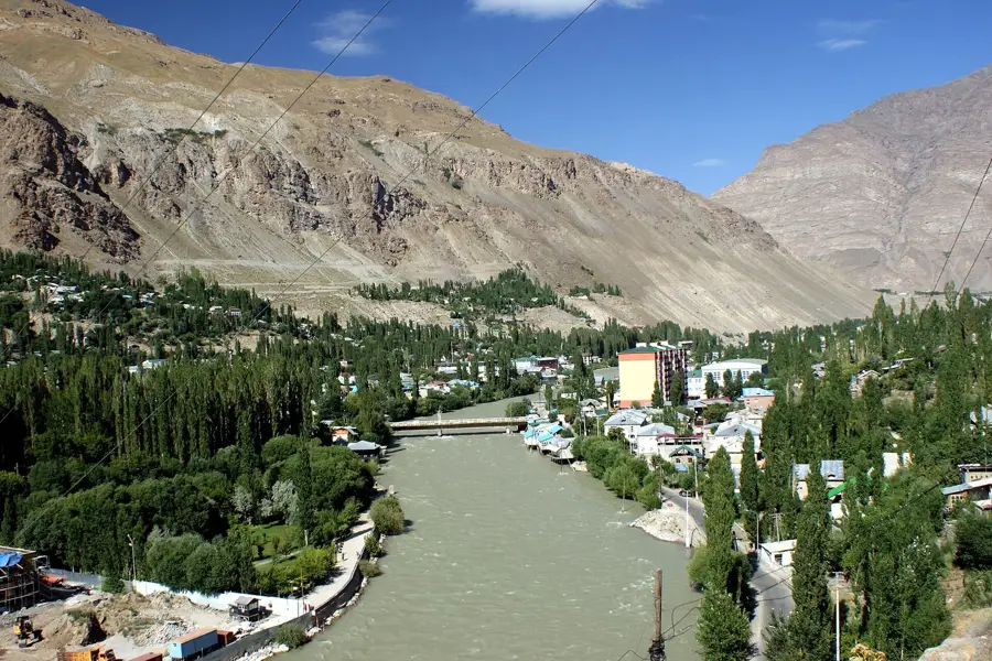
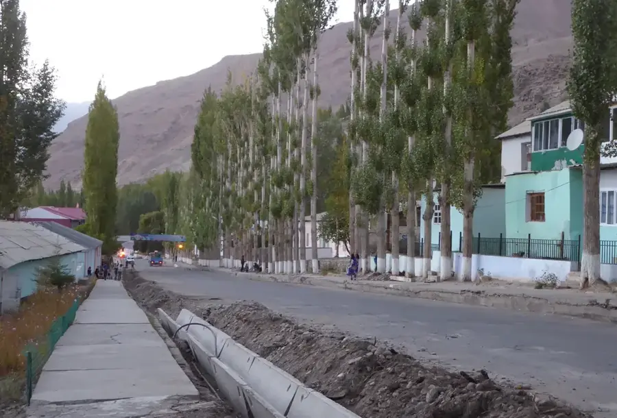
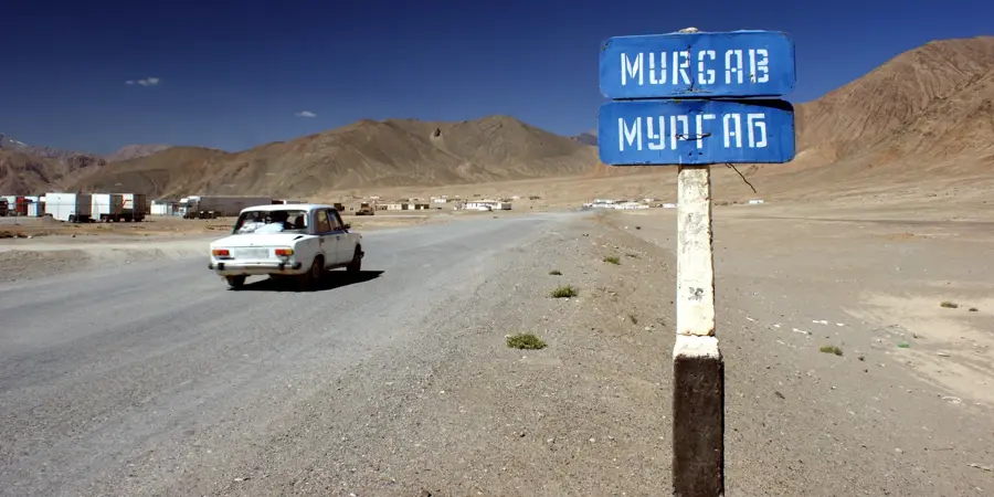
- Nearby: Murghob (21 km)
Best time to visit & climate
The most pleasant time to visit is Jun–Aug.
| Jan | Feb | Mar | Apr | May | Jun | Jul | Aug | Sep | Oct | Nov | Dec | |
|---|---|---|---|---|---|---|---|---|---|---|---|---|
| Avg °C | -19 | -17 | -12 | -6 | -1 | 3 | 6 | 5 | 0 | -5 | -12 | -17 |
| Rain mm | 7 | 7 | 8 | 12 | 7 | 6 | 5 | 3 | 2 | 3 | 5 | 5 |
📋 Practical info
Geography
Facts
- Soviet Officers Peak is the highest summit at 6,233 meters.
- The total length of the Muzkol Range is approximately 110 kilometers.
- Glaciers in the range cover a combined area of about 250 square kilometers.
- The range is located north of the Murghab River in the central Pamir.
- The geological structure is characterized by limestone and marble formations.
- The range is a habitat for the endangered Marco Polo sheep.
Explore nearby
Notable places around
Route planner — Car & Motorhome
Where do you start? We build the route here, with stops and country notes along the way.
© OpenStreetMap contributors · OpenRouteService
Sights nearby
Frequently asked questions
Is the Muskol-Gebirge very remote?
Is a guide needed for hikes?
When is the best time to travel?
Are there trees or forests there?
Is it good for photography?
Muzkol Range: where is it located?
Muzkol Range: when is the best time to visit?
Muzkol Range: why is it worth visiting?

Nearby cities
History & landmarks
Nature

More places