Plizio Visual Lab
Sarez Lake

ℹ️Practical info — Sarez Lake
▾
🌤 Weather — 5 days
📍 Nearby
Sights nearby
Water temperature…
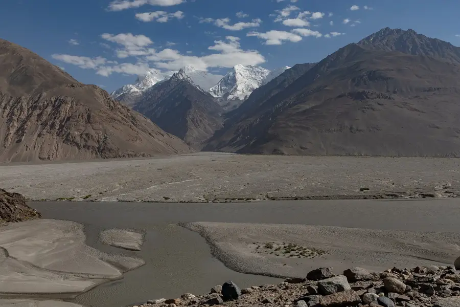
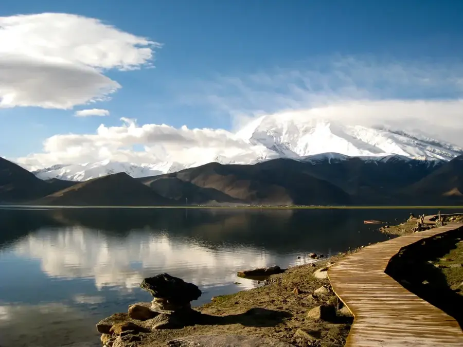
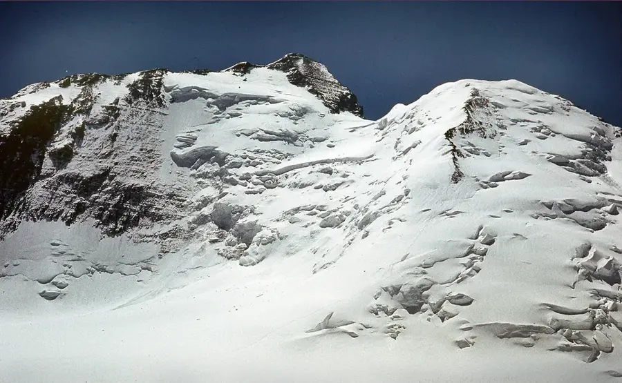
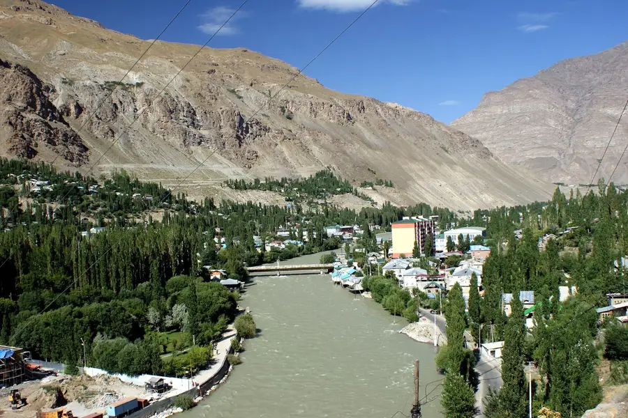
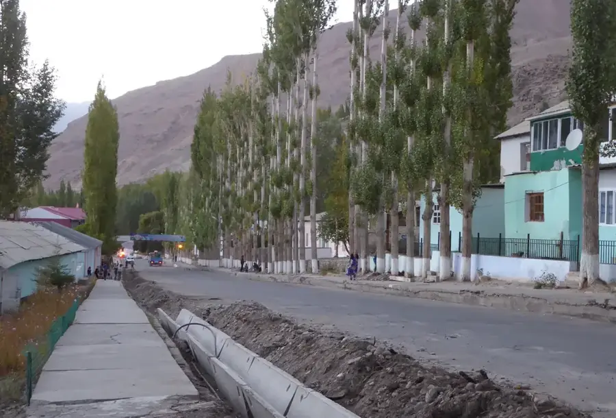
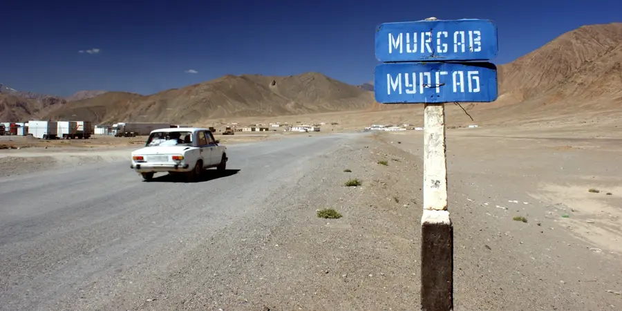
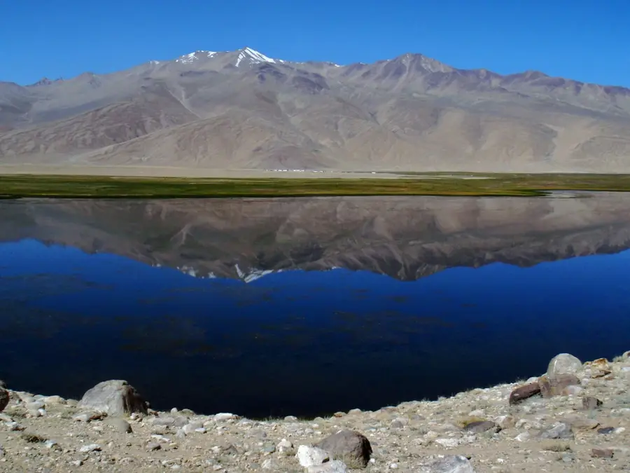
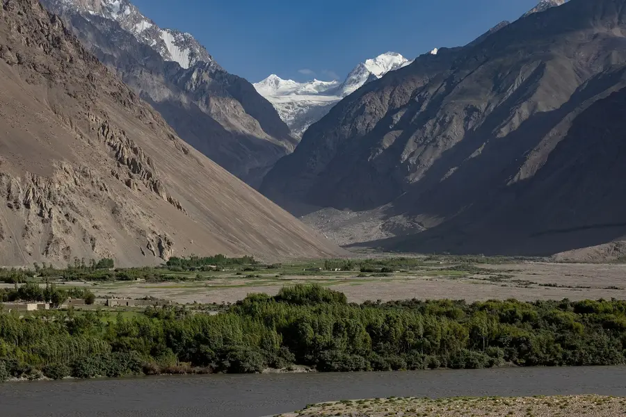
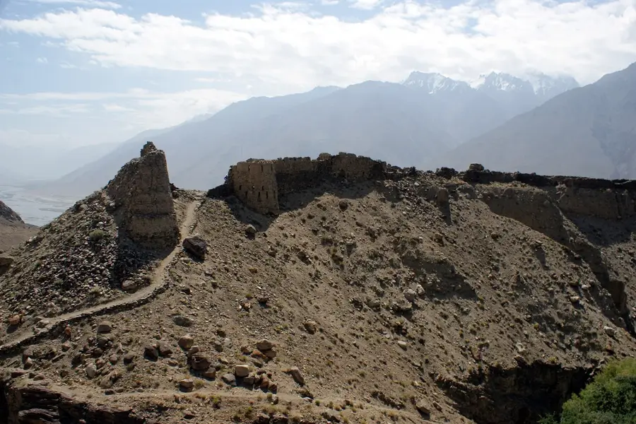
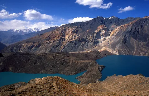
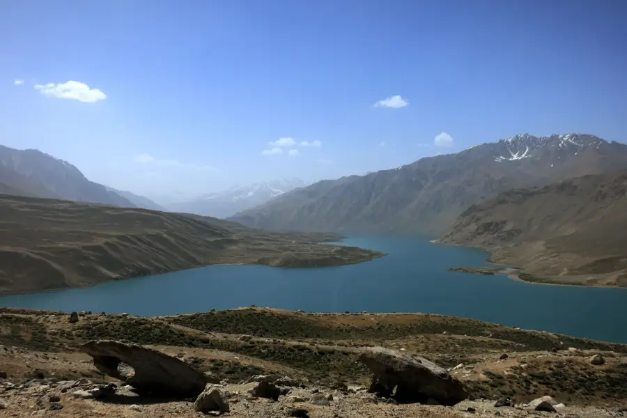
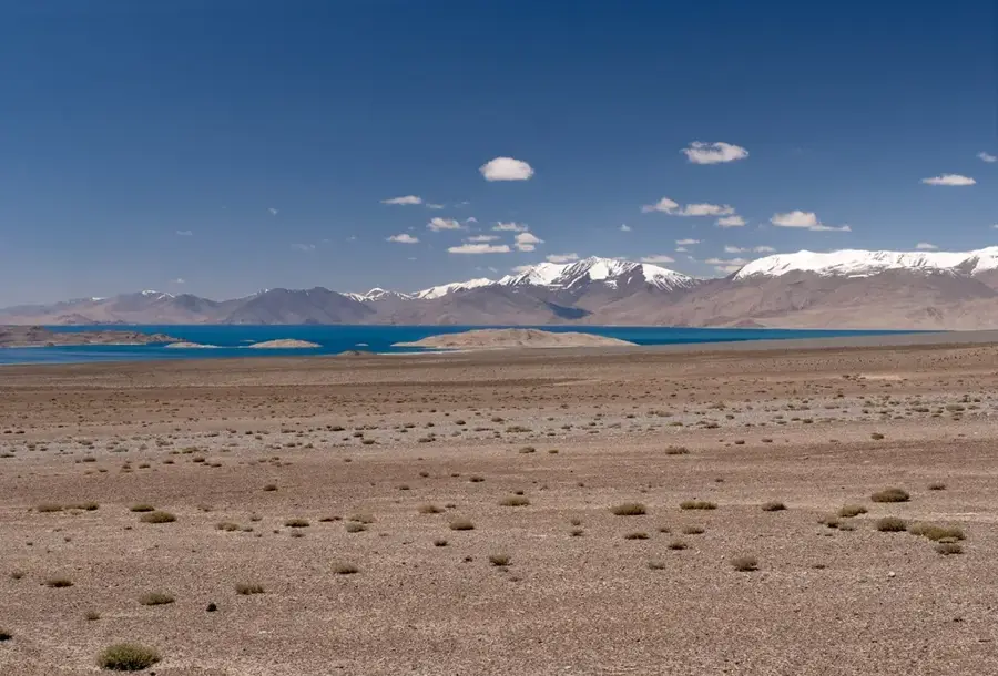
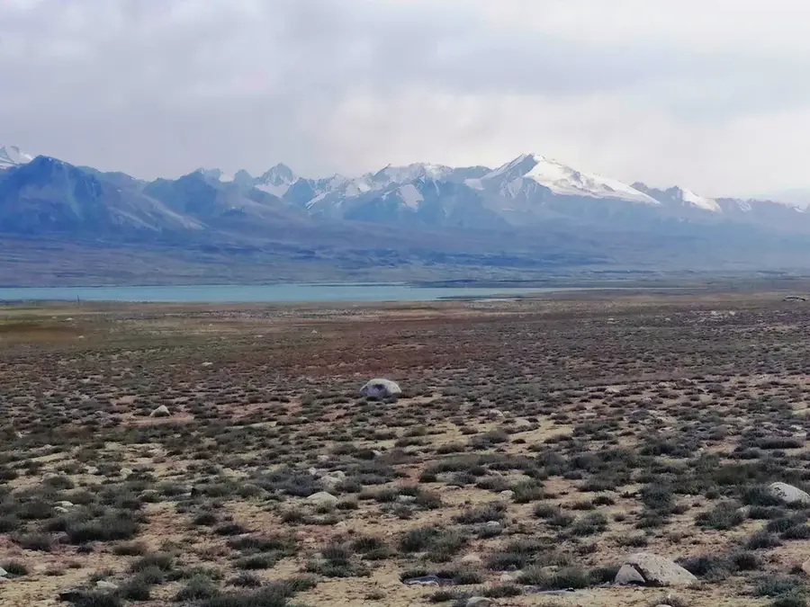
Sarez Lake is one of Tajikistan's most unique and youngest geographical features. It was formed in 1911 following a massive earthquake, when a colossal landslide blocked the Murghab River valley, creating the Usoy Dam, the world's highest natural dam. With a depth exceeding 500 meters and stretching 75 kilometers in length, the lake is tucked deep within the Pamir Mountains at an elevation of 3,263 meters. Its waters are a striking, deep indigo color, surrounded by barren, jagged peaks. The lake's isolation is extreme; there are no roads leading directly to its shores. Access requires a special government permit and several days of strenuous trekking through uninhabited and rugged terrain. This seclusion has ensured that the surrounding environment remains virtually untouched by human influence. Scientists constantly monitor the dam's stability, as its failure could have catastrophic consequences for Central Asia. Trekkers must be self-sufficient, though they can find basic hospitality in the remote Bartang Valley villages along the route. The best time for an expedition to Sarez Lake is during late summer (August and September). The journey typically starts through the Bartang Valley and involves challenging mountain climbs. This is a destination reserved for highly experienced trekkers and adventurers seeking total solitude. The majestic silence and the raw power of nature make Sarez Lake a truly mystical and awe-inspiring site.
- Location: Tajikistan
- Nearby: Bulunkul (41 km)
Geography
Facts
- Formed by a massive earthquake in 1911.
- Held back by the 567m high Usoy Dam.
- One of the deepest lakes in Central Asia (over 500m).
- Located at an altitude of 3,263 meters.
- Visiting requires a special government permit.
- There are no paved roads leading to the lake.
- Holds approximately 17 cubic kilometers of water.
- Named after the village of Sarez, which was submerged.
Explore nearby
Notable places around
Route planner — Car & Motorhome
Where do you start? We build the route here, with stops and country notes along the way.
© OpenStreetMap contributors · OpenRouteService
Frequently asked questions
Sarez Lake: where is it located?
Sarez Lake: why is it worth visiting?

Nearby cities
History & landmarks
Nature

More places