Plizio Visual Lab
Wadi Barada
Weather…
Water temperature…
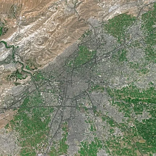
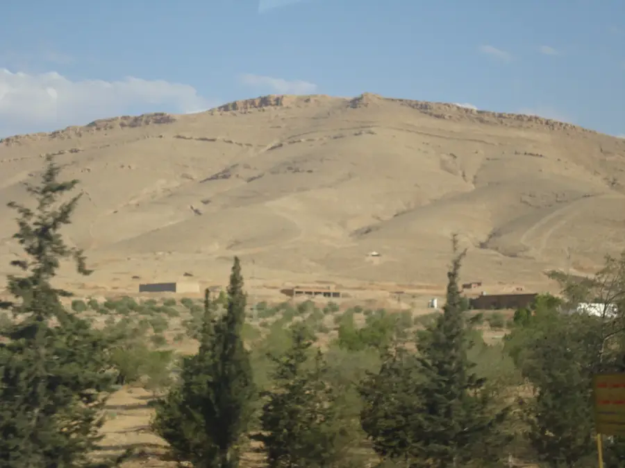
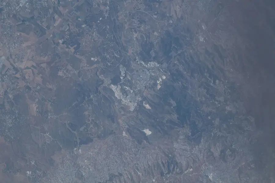
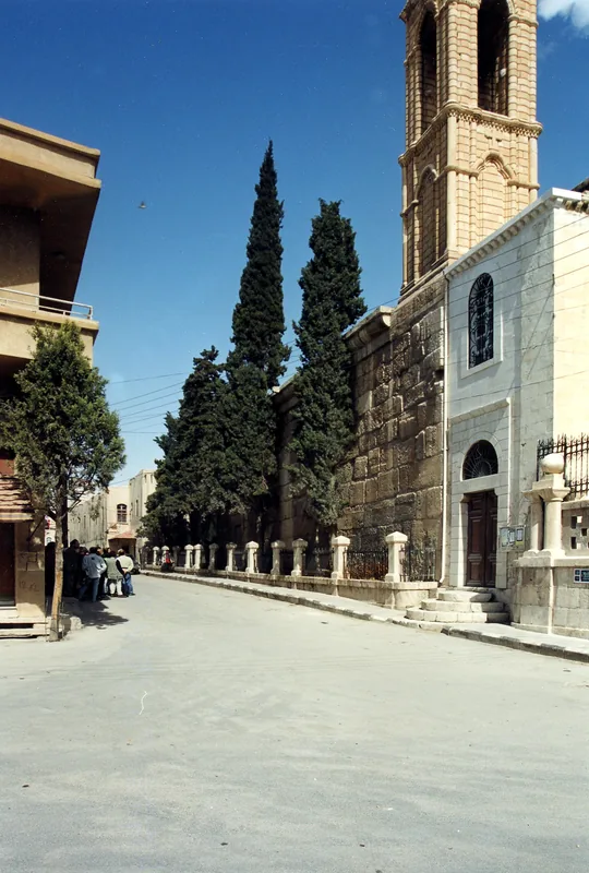
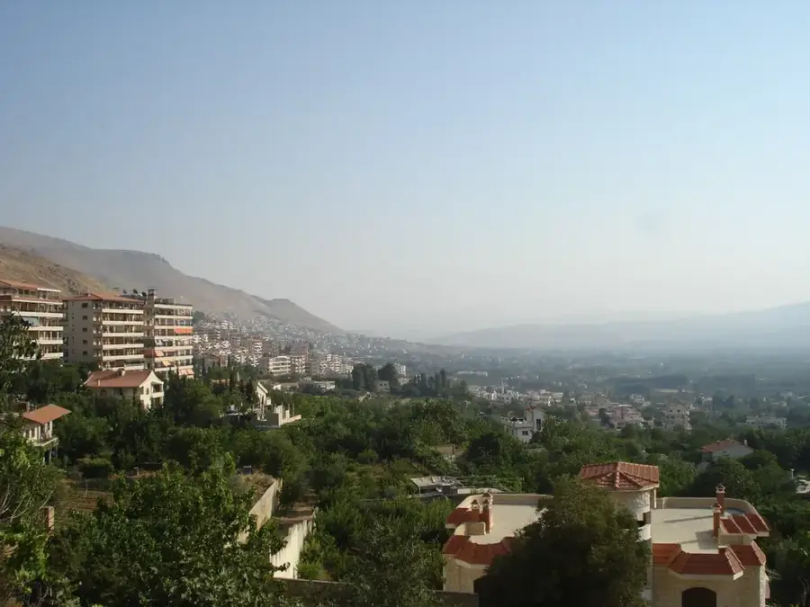
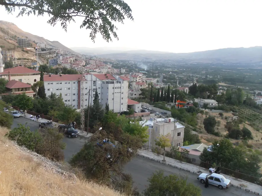
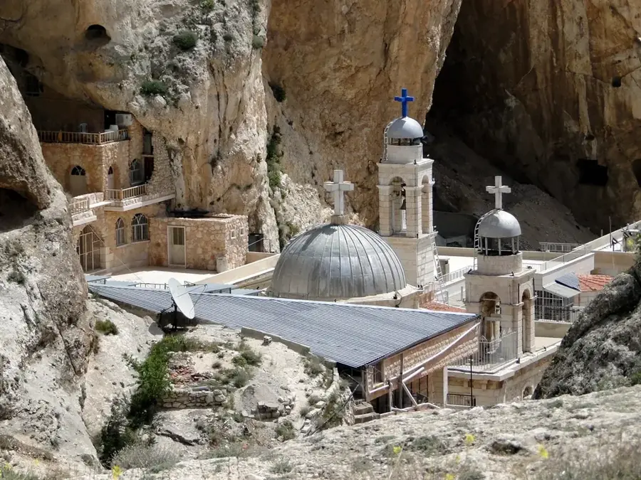
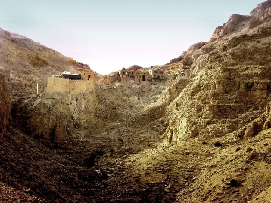
Wadi Barada is a narrow, water-rich valley located in the Anti-Lebanon Mountains northwest of Damascus, through which the Barada River flows. It has been the lifeblood of the Syrian capital since antiquity, as the river irrigates the Ghouta oasis and is the reason for the city's location. The Ain al-Fijah spring within the valley provides the majority of the drinking water for the metropolitan area, making it of immense strategic importance. Geologically, the valley is deeply incised into limestone rock, offering a spectacular landscape with steep cliffs and lush vegetation along the riverbank. The valley contains important transport routes connecting Damascus to the Lebanese border, including a historic railway line. Historically, Wadi Barada was part of the ancient region of Abilene and contains ruins from the Roman and Byzantine periods, testifying to its long history of settlement.
- Location: Syria
- Top sights: Nawawis · Nabi Habeel Mosque · Alruodha
- Nearby: Ain al-Fijah (9 km)
Best time to visit & climate
The most pleasant time to visit is May, Jun, Sep.
| Jan | Feb | Mar | Apr | May | Jun | Jul | Aug | Sep | Oct | Nov | Dec | |
|---|---|---|---|---|---|---|---|---|---|---|---|---|
| Avg °C | 5 | 6 | 10 | 14 | 19 | 24 | 26 | 26 | 23 | 19 | 11 | 7 |
| Rain mm | 69 | 57 | 29 | 18 | 7 | 1 | 0 | 0 | 2 | 13 | 35 | 57 |
📋 Practical info
Geography
Facts
- Main water source for Damascus
- Located in the Anti-Lebanon range
- Traversed by the Barada River
- Site of Ain al-Fijah spring
- Part of ancient Abilene region
- Key route to the Lebanese border
Explore nearby
Notable places around
Route planner — Car & Motorhome
Where do you start? We build the route here, with stops and country notes along the way.
© OpenStreetMap contributors · OpenRouteService
Sights in the town Wadi Barada (7)
Sights nearby
Frequently asked questions
Is Wadi Barada touristically developed?
How is the accessibility?
When is it most beautiful there?
Do I need a guide?
Are there sights?
Wadi Barada: where is it located?
Wadi Barada: what is there to see?
Wadi Barada: when is the best time to visit?
Wadi Barada: why is it worth visiting?

Nearby cities
History & landmarks
Nature
More places