Plizio Visual Lab
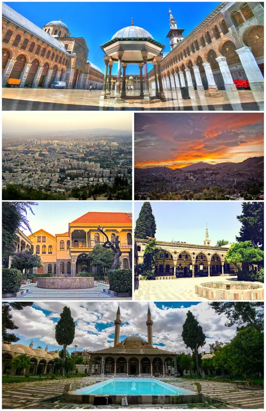
Mount Qasioun
Weather…
Water temperature…
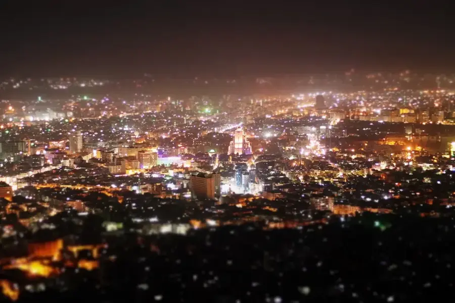
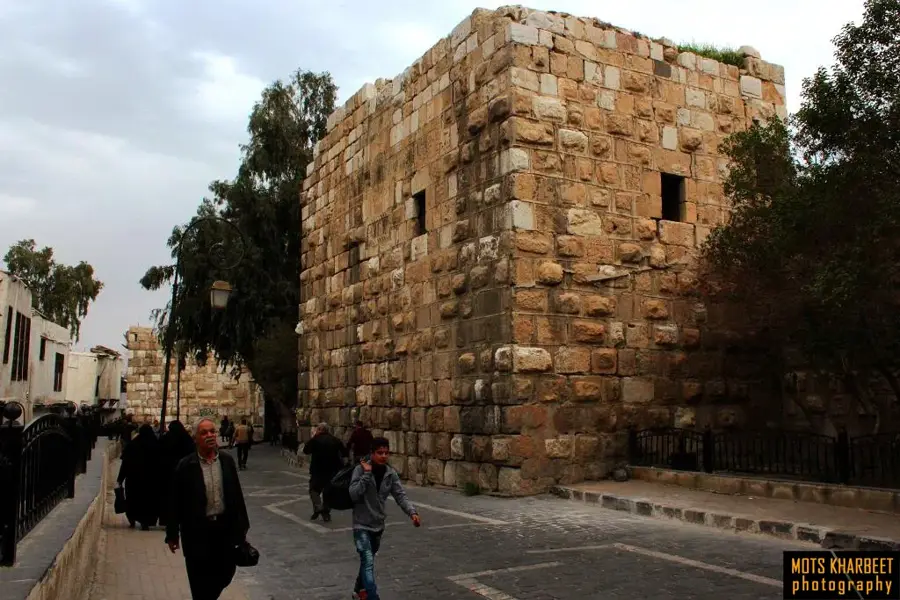
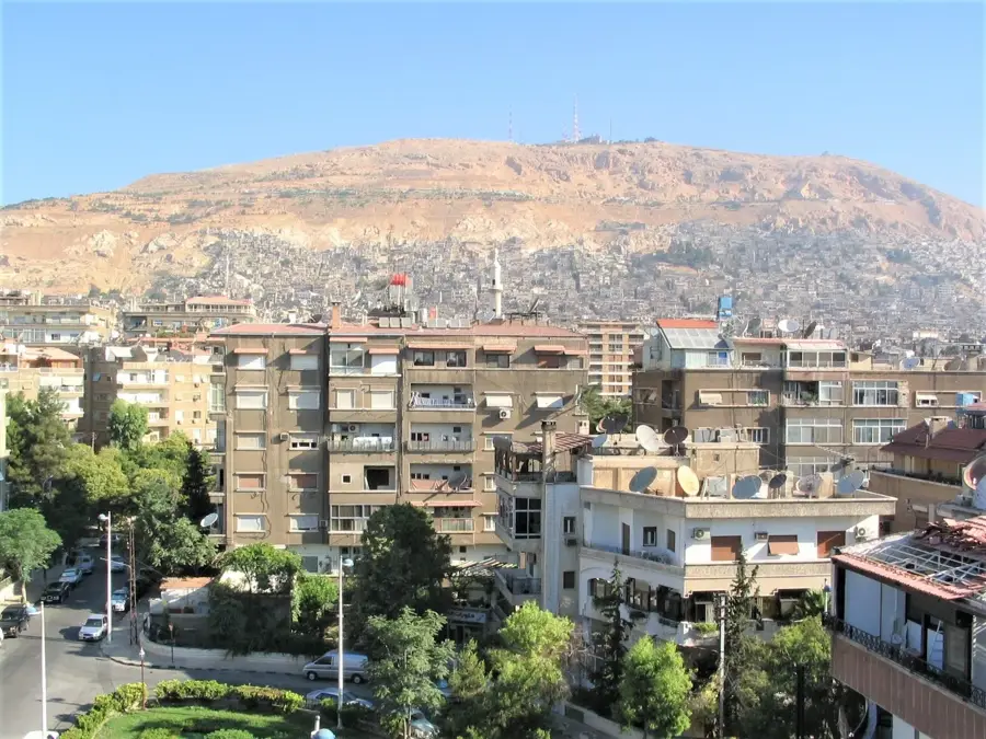
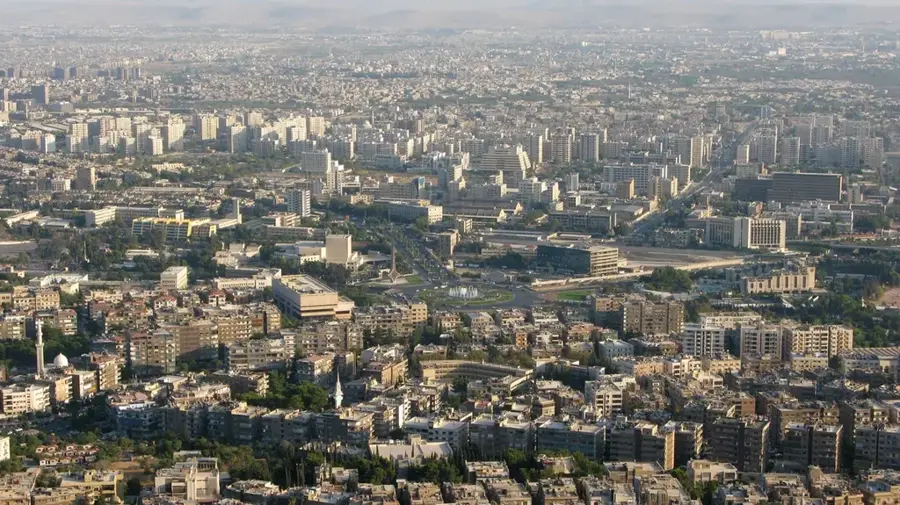
Mount Qasioun overlooks the Syrian capital, Damascus, reaching an elevation of 1,151 meters above sea level. Composed primarily of limestone, the mountain serves as a crucial geographical landmark and a strategic military site overlooking the vast urban expanse. Local folklore associates the mountain with various religious narratives, most notably the site where Cain is said to have slain his brother Abel, leading to the establishment of several shrines. The mountain gives a comprehensive panoramic view of the ancient city and the surrounding Ghouta oasis, which has historically been the lifeline of Damascus. Throughout the 20th and 21st centuries, its strategic importance has led to significant military presence on its peaks, influencing the city's security dynamics. Geologically, it represents an eastern extension of the Anti-Lebanon range, shaped by tectonic forces over millions of years. Despite its sparse vegetation due to the semi-arid climate, the mountain remains a cultural icon and a frequent subject in Arabic poetry, symbolizing the enduring history of the region.
- Location: Syria
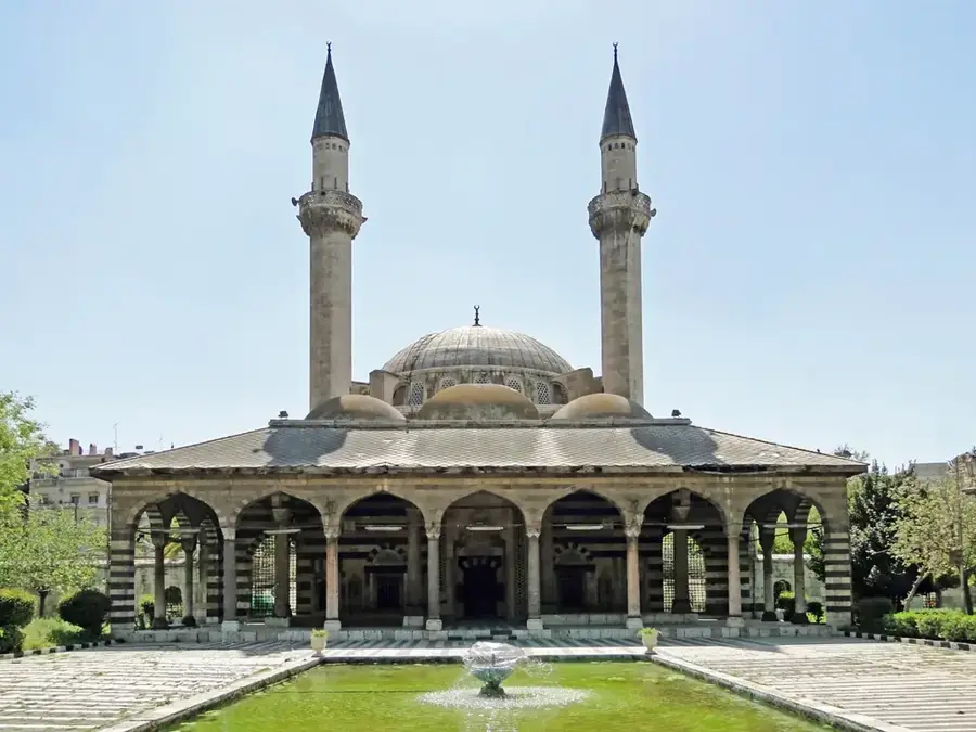
- Top sights: Jabal Tall al Agha · Jabal as Sawwani · Al Erfan Mosque
- Nearby: Ain al-Fijah (11 km)
Best time to visit & climate
The most pleasant time to visit is May, Jun, Sep.
| Jan | Feb | Mar | Apr | May | Jun | Jul | Aug | Sep | Oct | Nov | Dec | |
|---|---|---|---|---|---|---|---|---|---|---|---|---|
| Avg °C | 5 | 6 | 10 | 14 | 19 | 24 | 26 | 26 | 23 | 19 | 11 | 7 |
| Rain mm | 69 | 57 | 29 | 18 | 7 | 1 | 0 | 0 | 2 | 13 | 35 | 57 |
📋 Practical info
Geography
Facts
- The peak of Mount Qasioun reaches an elevation of 1,151 meters.
- The mountain is primarily composed of Cretaceous and Paleogene limestone.
- Local tradition identifies a cave on the mountain as the site where Cain killed Abel.
- It serves as a strategic military observation point for the Damascus region.
- The name Qasioun is thought to be derived from Aramaic, meaning 'hard' or 'dry'.
- Numerous transmission towers for Syrian radio and television are located on the summit.
Explore nearby
Notable places around
Route planner — Car & Motorhome
Where do you start? We build the route here, with stops and country notes along the way.
© OpenStreetMap contributors · OpenRouteService
Sights in the town Mount Qasioun (6)
Sights nearby
Frequently asked questions
How to get to Dschebel Qasiyun?
Is it worth visiting at night?
Are there dining options on the mountain?
How much time should you plan for the visit?
Is photography allowed?
Mount Qasioun: where is it located?
Mount Qasioun: what is there to see?
Mount Qasioun: when is the best time to visit?
Mount Qasioun: why is it worth visiting?

Nearby cities
History & landmarks
More places