Plizio Visual Lab
Beqaa Valley
Weather…
Water temperature…
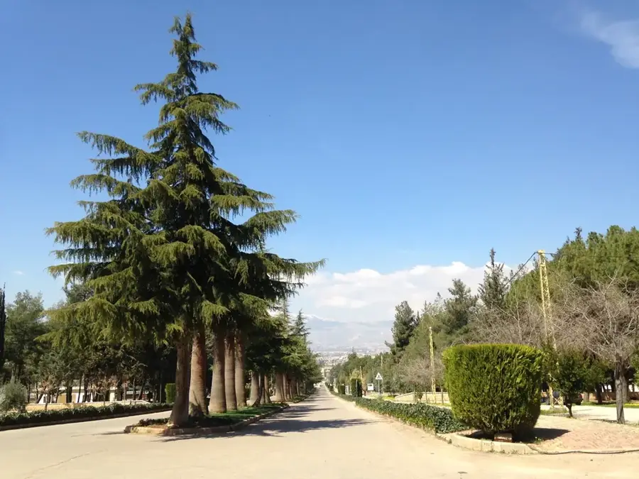
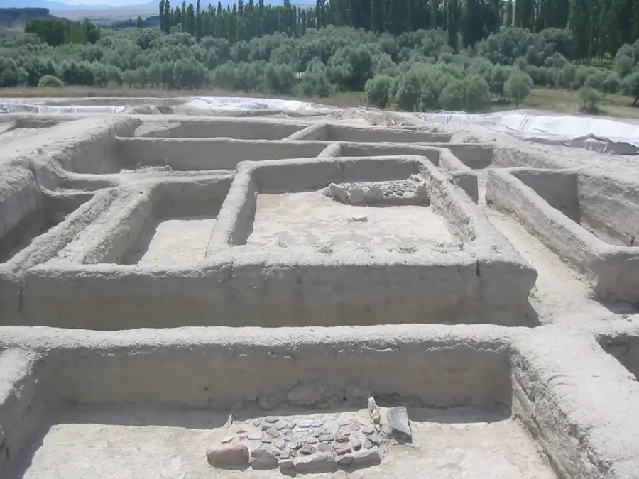
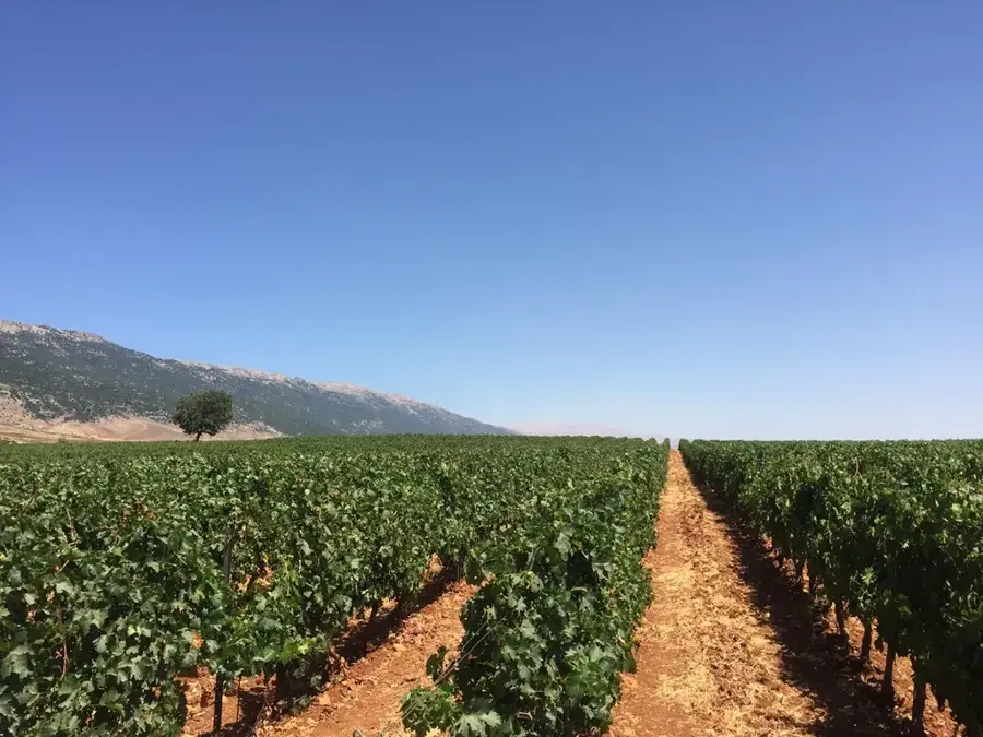
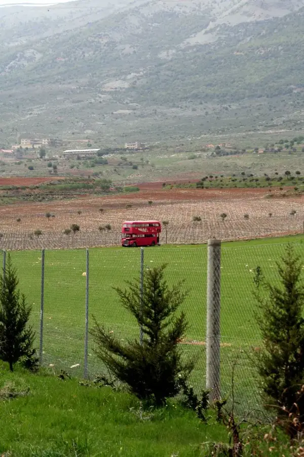
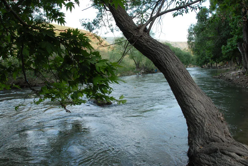
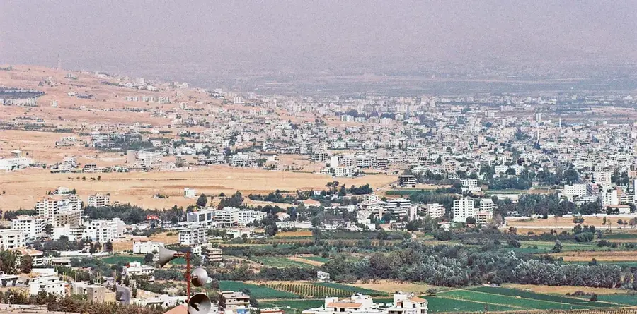
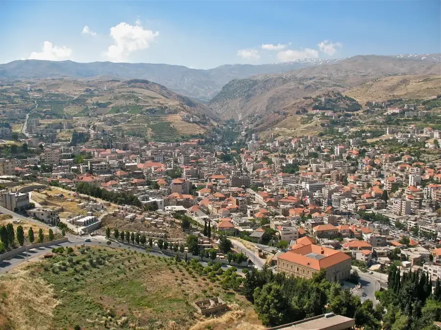
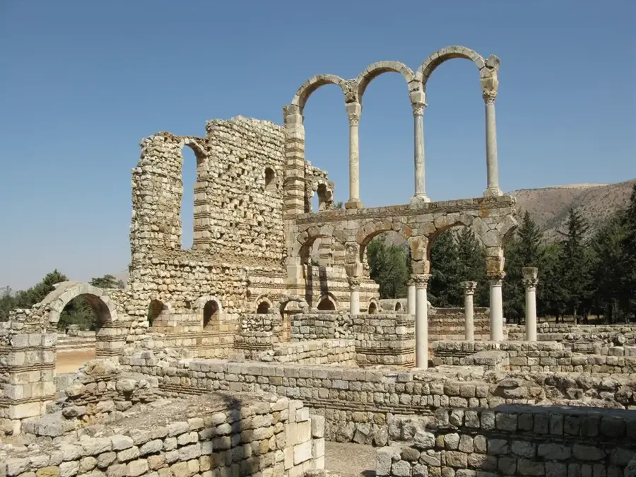
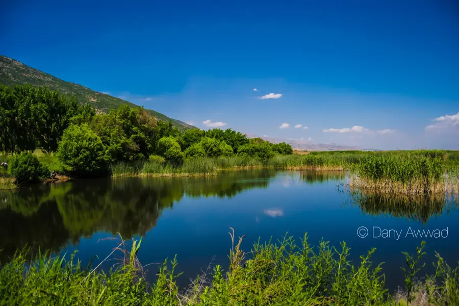
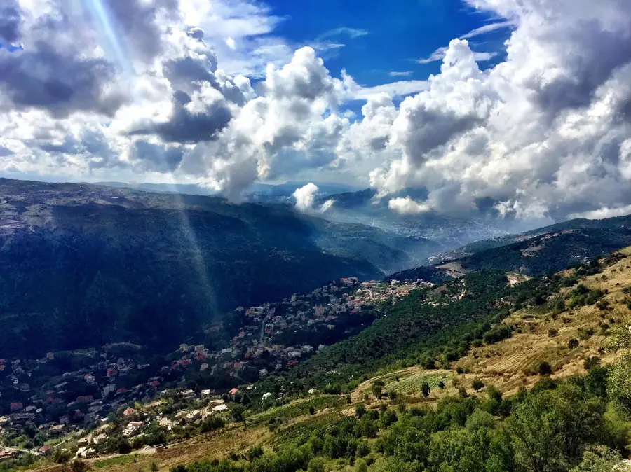
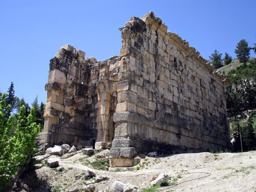
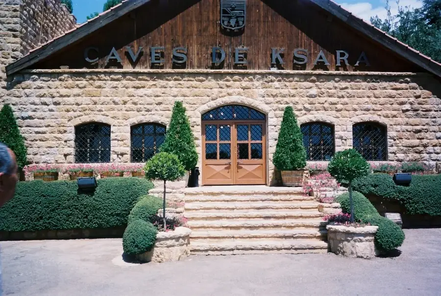
The Beqaa Valley is a fertile plateau in eastern Lebanon, situated between the Mount Lebanon range to the west and the Anti-Lebanon Mountains to the east. Spanning approximately 120 kilometers in length and averaging 16 kilometers in width, it has been known since antiquity as the breadbasket of the region. Geographically, the valley sits at an average elevation of 900 meters and is naturally irrigated by the Litani River in the south and the Orontes River in the north. Historically, the valley is home to the world-renowned Roman ruins of Baalbek, which testify to the area's ancient strategic and religious prominence. Today, the Beqaa serves as the heart of Lebanese agriculture, producing vast quantities of wheat, fruits, vegetables, and high-quality grapes for the wine industry. Famous wineries like Château Ksara and Château Musar operate within its boundaries. Despite modern geopolitical challenges, the valley remains an essential economic pillar and a cultural crossroads for the nation.
- Location: Lebanon
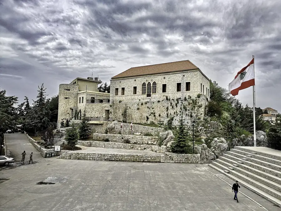
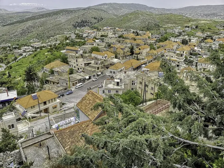
- Top sights: Khirbat Tuffahta · Venus Bint Al Malik · Roman temple of Kfar Zabad
- Nearby: Zahlé (11 km)
Best time to visit & climate
The most pleasant time to visit is Jun, Jul, Sep.
| Jan | Feb | Mar | Apr | May | Jun | Jul | Aug | Sep | Oct | Nov | Dec | |
|---|---|---|---|---|---|---|---|---|---|---|---|---|
| Avg °C | 3 | 4 | 7 | 11 | 16 | 20 | 23 | 24 | 21 | 16 | 9 | 5 |
| Rain mm | 78 | 57 | 32 | 18 | 9 | 2 | 0 | 1 | 4 | 15 | 36 | 60 |
📋 Practical info
Geography
Facts
- Extends about 120 km in length between two mountain ranges
- Average elevation is 900 meters above sea level
- Home to the UNESCO World Heritage site of Baalbek
- Center of the Lebanese wine industry with world-class vineyards
- Irrigated by the Litani and Orontes rivers, the country's longest
- Historically part of the Roman province known as Coele-Syria
Explore nearby
Notable places around
Route planner — Car & Motorhome
Where do you start? We build the route here, with stops and country notes along the way.
© OpenStreetMap contributors · OpenRouteService
Sights in the town Beqaa Valley (4)
Sights nearby
Frequently asked questions
What is the Bekaa Valley known for?
When is the best time for a wine tour?
How far is the Bekaa Valley from Beirut?
What local specialties should you try?
Is the region safe for tourists?
Beqaa Valley: where is it located?
Beqaa Valley: what is there to see?
Beqaa Valley: when is the best time to visit?
Beqaa Valley: why is it worth visiting?

Nearby cities
History & landmarks
More places