Plizio Visual Lab
Barada
Weather…
Water temperature…
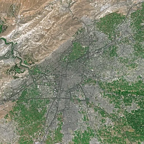
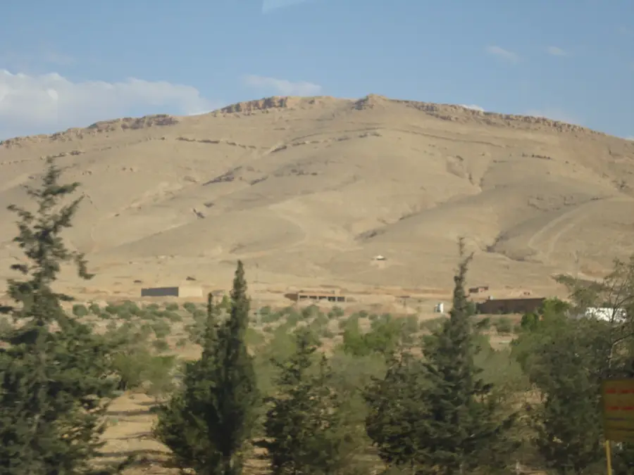
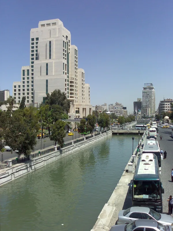
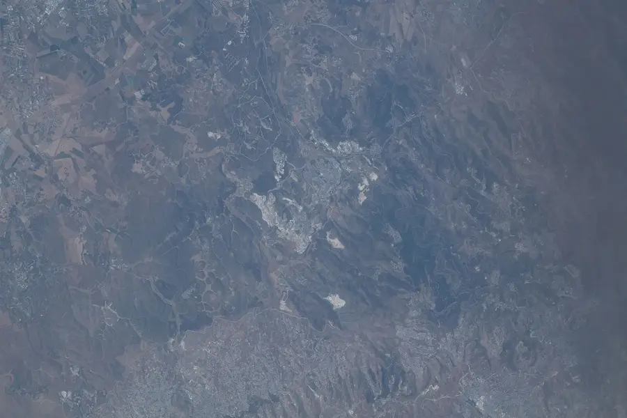
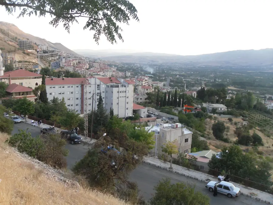
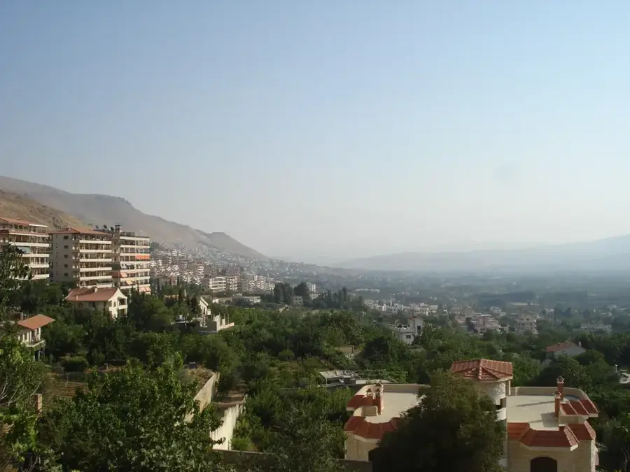
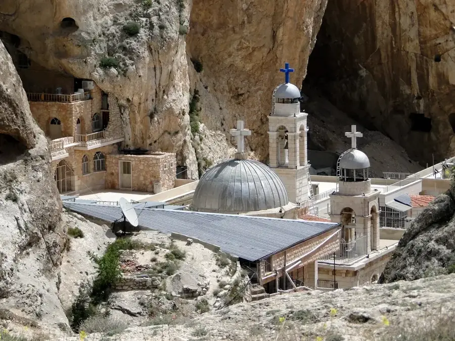
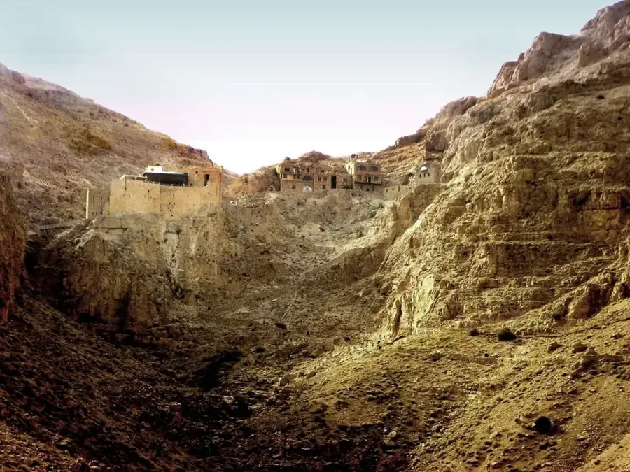
The Barada River is the lifeblood of Damascus and the primary reason the Syrian capital has existed as one of the world's oldest continuously inhabited cities. Originating in the Anti-Lebanon Mountains at the Figeh spring, it flows approximately 71 kilometers eastward before terminating in the endorheic Ghouta basin. Without the Barada, the oasis of Damascus (Ghouta) would simply be an extension of the Syrian Desert; instead, it has enabled intensive agriculture and sustained millions of people for millennia. As early as antiquity, inhabitants developed a sophisticated system of seven major channels to distribute water across the plain, leading the Greeks to name it 'Chrysorrhoas' or the 'Golden River.' The river is also mentioned in the Bible as the 'Abana,' highlighting its historical prominence across civilizations. Today, the river faces severe challenges from water scarcity and pollution as groundwater levels drop and urban sprawl encroaches on its banks. Nevertheless, the Barada remains the cultural and ecological heart of Damascus, and its preservation is vital for the region's future survival.
- Location: Syria
- Top sights: Damascus Opera House · Salimiyya Takiyya · Sebki Park
- Nearby: Douma (14 km)
Best time to visit & climate
The most pleasant time to visit is May, Jun, Sep.
| Jan | Feb | Mar | Apr | May | Jun | Jul | Aug | Sep | Oct | Nov | Dec | |
|---|---|---|---|---|---|---|---|---|---|---|---|---|
| Avg °C | 5 | 6 | 10 | 14 | 19 | 24 | 26 | 26 | 23 | 19 | 11 | 7 |
| Rain mm | 69 | 57 | 29 | 18 | 7 | 1 | 0 | 0 | 2 | 13 | 35 | 57 |
📋 Practical info
Geography
Facts
- The Barada River has a total length of approximately 71 kilometers.
- The Figeh spring provides nearly all the drinking water for the city of Damascus.
- In ancient Greek times, the river was famously called the 'Chrysorrhoas'.
- The river's flow is historically divided into seven main branches within the city.
- The Barada terminates in the marshy lake of Bahrat al-Utaybah east of the oasis.
- It is identified as the biblical 'Abana' river in the Second Book of Kings.
Explore nearby
Notable places around
Route planner — Car & Motorhome
Where do you start? We build the route here, with stops and country notes along the way.
© OpenStreetMap contributors · OpenRouteService
Sights in the town Barada (7)
Sights nearby
Frequently asked questions
Is the Barada river area family-friendly?
When is the best time to visit Barada?
Are there hiking options along the river?
Is there a fee to access the river?
Are there restrooms nearby?
Barada: where is it located?
Barada: what is there to see?
Barada: when is the best time to visit?
Barada: why is it worth visiting?

Nearby cities

History & landmarks
More places