Plizio Visual Lab
Düdingen
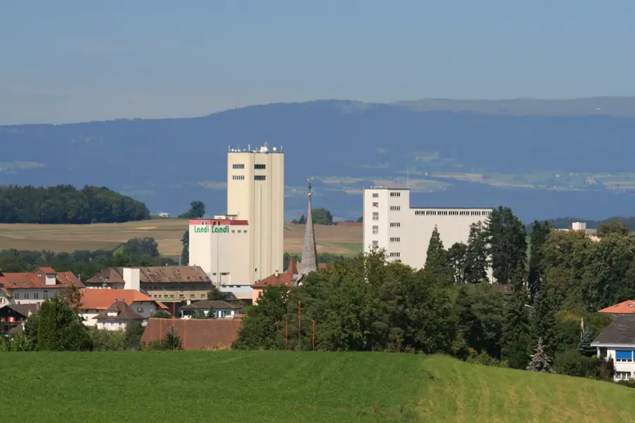
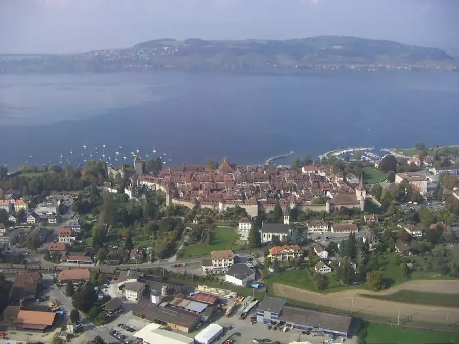
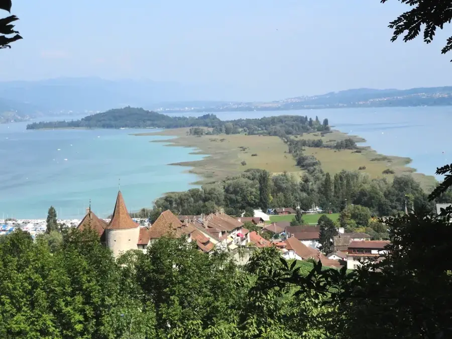
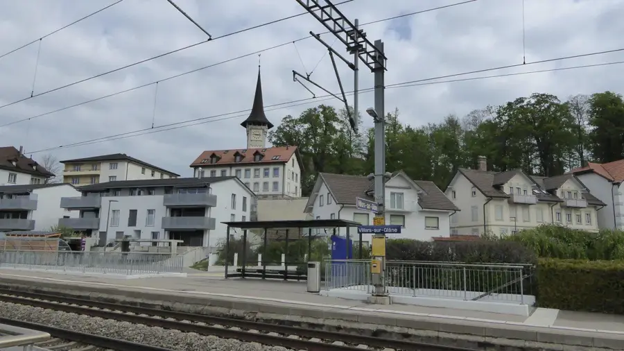
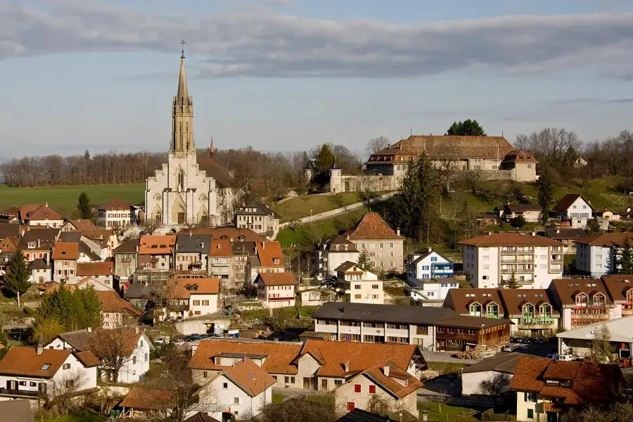
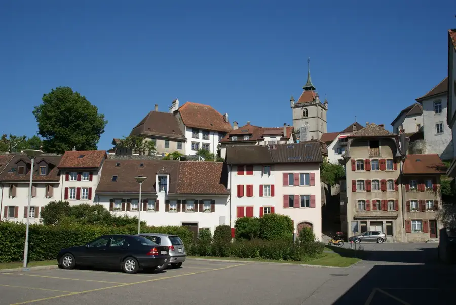
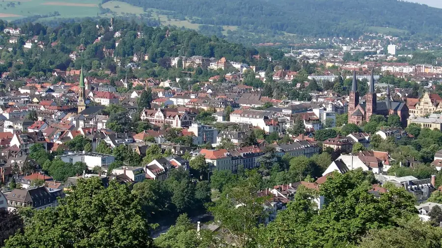
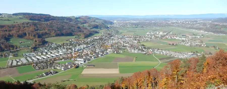
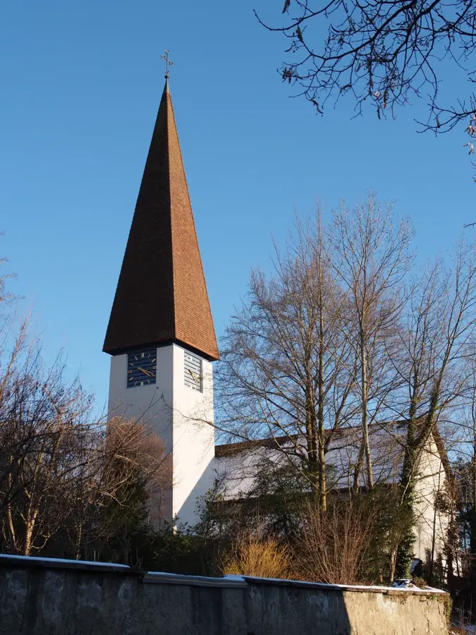
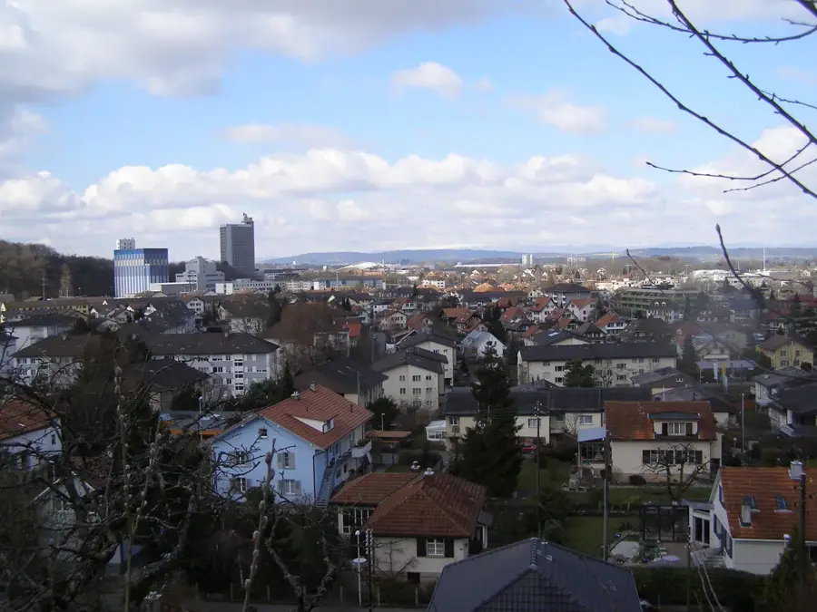
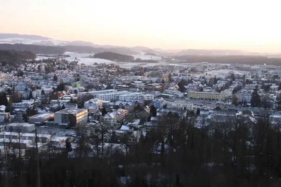
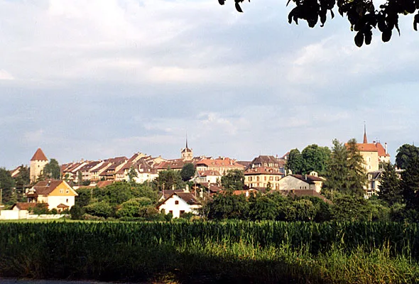
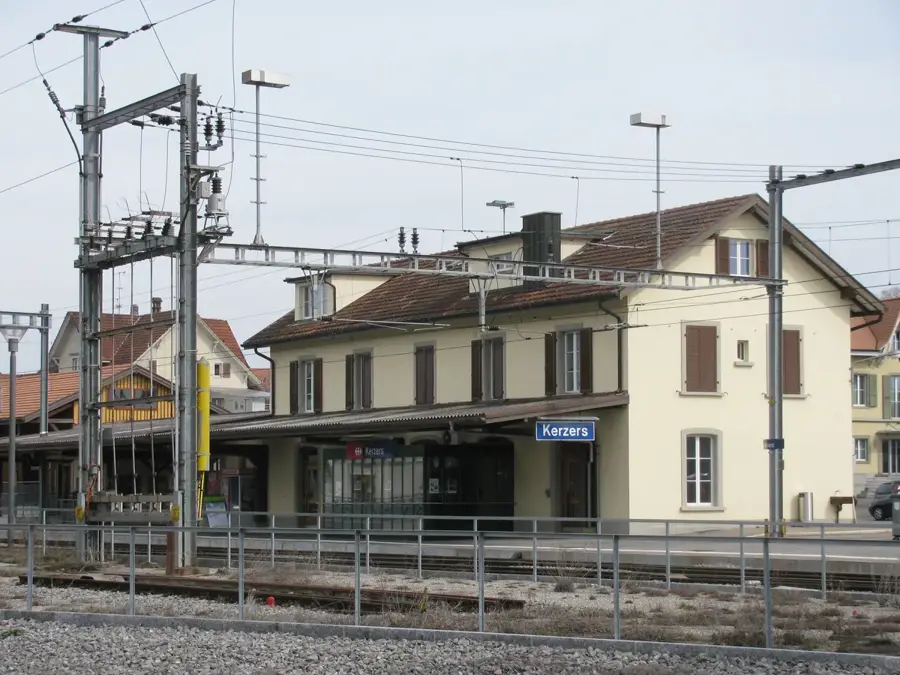
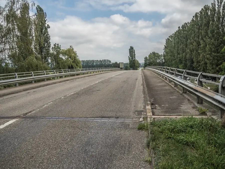
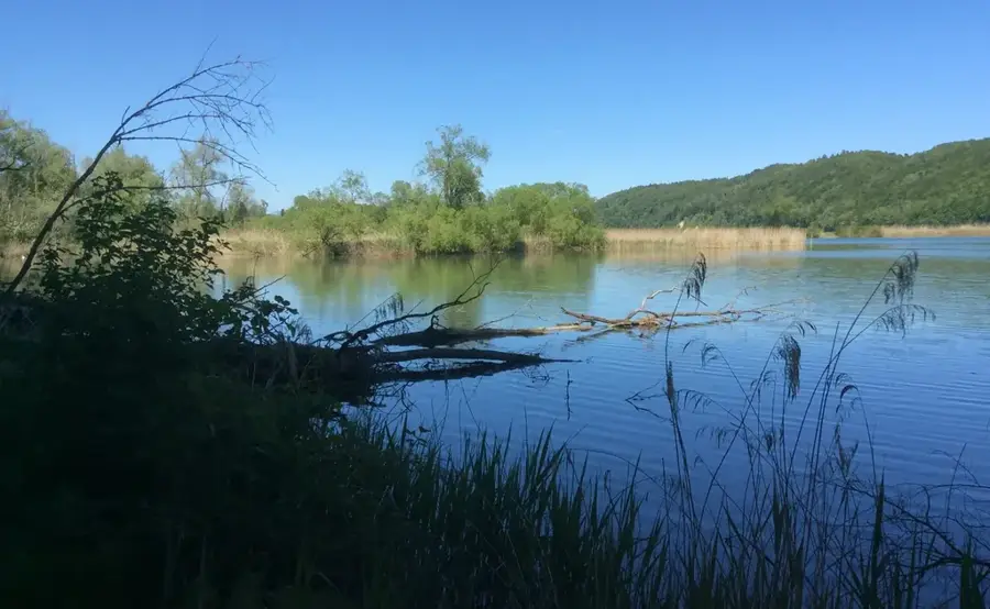
Düdingen is located in the Sense district of the Canton of Fribourg and is one of the largest German-speaking municipalities in the canton. Geographically, the town extends across a plateau above the Saane valley and the artificial Lake Schiffenen. One of the most remarkable sights is the Magdalena Hermitage in Räsch, a cave church carved into the sandstone with a length of 120 meters, dating back to the 15th century. Historically, Düdingen was closely linked to the city of Fribourg but always maintained its own rural identity. The first documentary mention dates to the year 1182. Today, the municipality serves as an important regional center with a diverse economic structure ranging from agriculture to modern industrial and service enterprises. The municipality is excellently connected by transport via the A12 motorway and the Bern-Fribourg railway line. Culturally, Düdingen is known for numerous events such as the Country Night Festival. The landscape around the town gives various opportunities for outdoor activities, including hikes along Lake Schiffenen or across the imposing Grandfey Viaduct, which represents one of the largest bridge structures in Switzerland. Demographic development is positive, due to the town's attractiveness as a residential location for commuters to Fribourg and Bern.
- Location: Switzerland
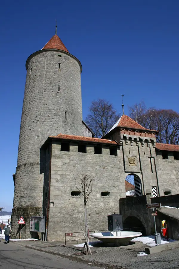
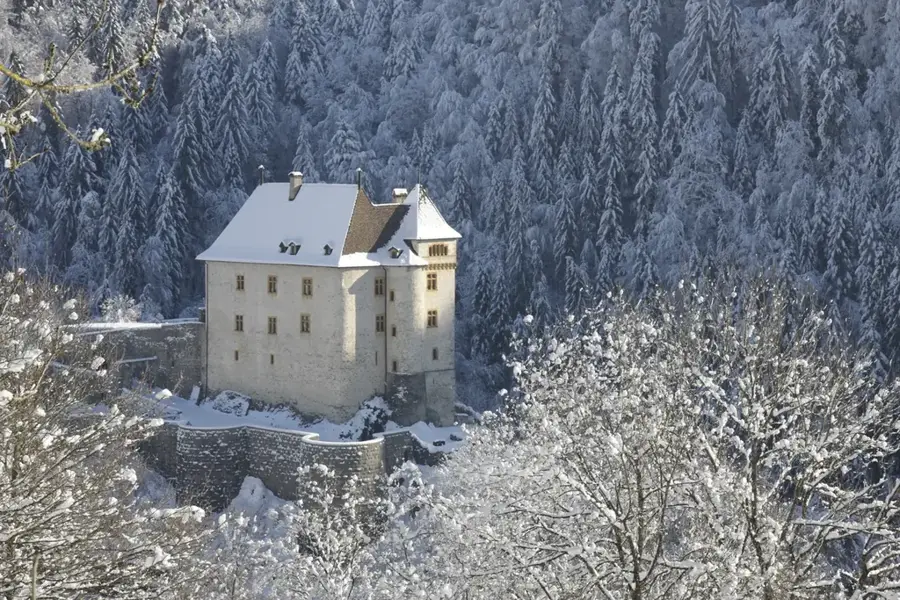
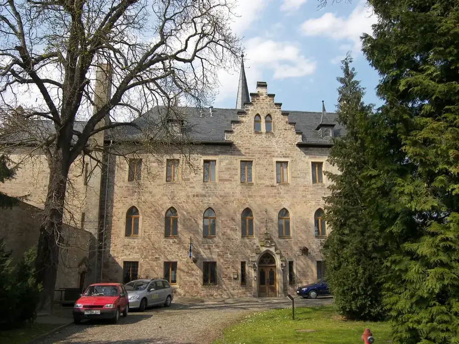
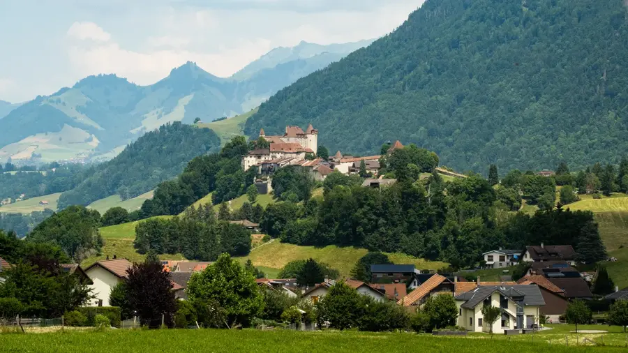
- Top sights: Schloss Jetschwil · Barberêche Castle · Grand-Vivy Castle
- Nearby: Fribourg (5 km)
- Population: ~8.657
Best time to visit & climate
The most pleasant time to visit is Jun–Aug.
| Jan | Feb | Mar | Apr | May | Jun | Jul | Aug | Sep | Oct | Nov | Dec | |
|---|---|---|---|---|---|---|---|---|---|---|---|---|
| Avg °C | -1 | -1 | 3 | 8 | 12 | 16 | 18 | 17 | 13 | 9 | 4 | 0 |
| Rain mm | 85 | 66 | 86 | 83 | 124 | 113 | 113 | 118 | 83 | 100 | 85 | 96 |
Geography
Facts
- Düdingen is located at an elevation of 596 meters above sea level.
- The first documentary mention occurred in the year 1182.
- The Magdalena Hermitage has a length of 120 meters.
- The Grandfey Viaduct crosses the Saane valley near Düdingen.
- The municipal area is approximately 30.82 square kilometers.
- The A12 motorway connects the town with Bern and Fribourg.
Explore nearby
Notable places around
Route planner — Car & Motorhome
Where do you start? We build the route here, with stops and country notes along the way.
© OpenStreetMap contributors · OpenRouteService
Sights in the town Düdingen (14)
Frequently asked questions
Düdingen: where is it located?
Düdingen: what is there to see?
Düdingen: when is the best time to visit?
Düdingen: why is it worth visiting?

Nearby cities


History & landmarks
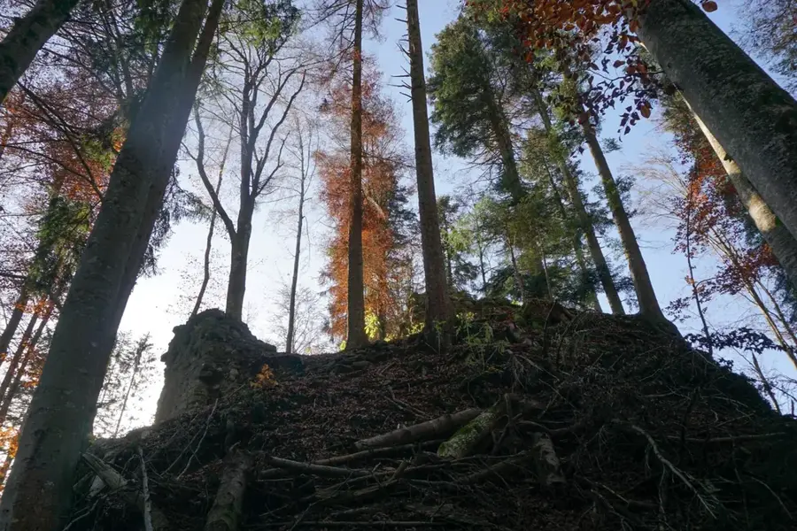
Nature

More places