Plizio Visual Lab
Lac de la Gruyère

Weather…
Water temperature…
Lake Gruyère is a reservoir in the Canton of Fribourg, formed by the construction of the Rossens arch dam in 1948. Measuring about 13.5 kilometers in length, it is the longest reservoir in the Swiss Plateau region. The Sarine River flows through the basin, which reaches a maximum water depth of approximately 75 meters. A notable feature of the lake is the Island of Ogoz, home to the ruins of a medieval castle and a chapel dating back to the 13th century. Primarily used for hydroelectric power generation, the lake has also evolved into a key local recreation area. During the winter months, the water level is often lowered, occasionally revealing historical structures and old bridges on the lake bed.
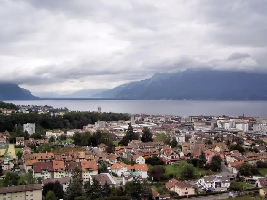
- Location: Switzerland
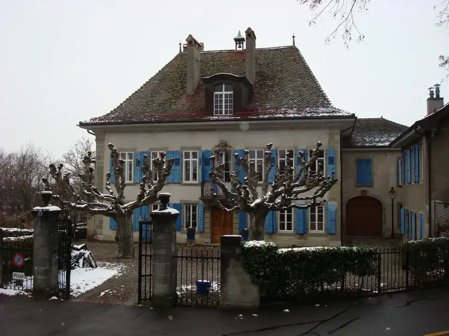
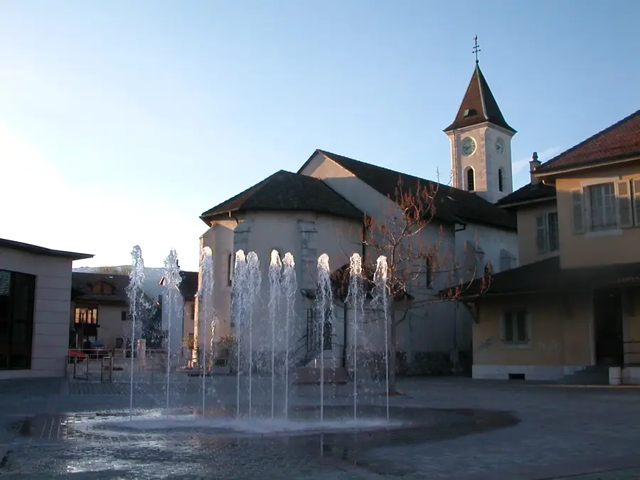
- Top sights: Eglise Villarvolard · Ruine du château d'Everdes · Château de Corbières
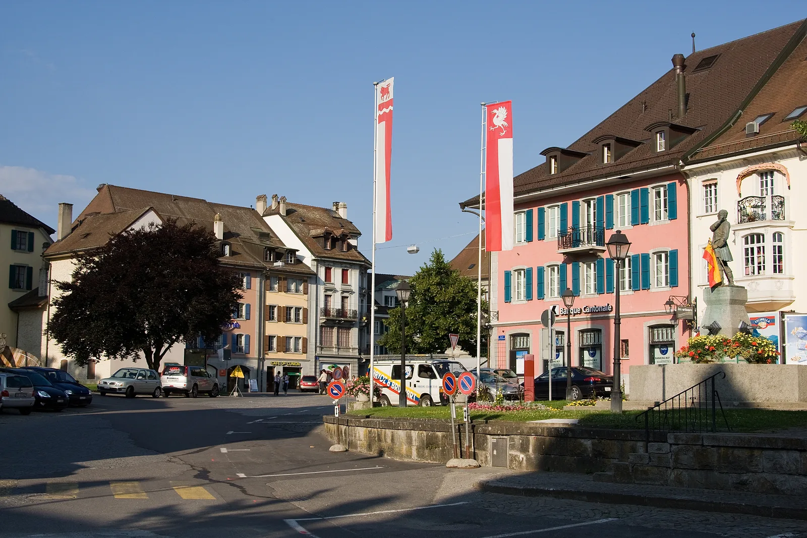
- Nearby: Bulle-La Tour (5 km)
Best time to visit & climate
The most pleasant time to visit is Jun–Aug.
| Jan | Feb | Mar | Apr | May | Jun | Jul | Aug | Sep | Oct | Nov | Dec | |
|---|---|---|---|---|---|---|---|---|---|---|---|---|
| Avg °C | -2 | -2 | 2 | 7 | 11 | 15 | 17 | 17 | 13 | 9 | 3 | -1 |
| Rain mm | 92 | 72 | 90 | 81 | 127 | 114 | 115 | 120 | 81 | 94 | 90 | 101 |
📋 Practical info
Geography
Facts
- Dam completed in 1948
- Lake length of approx. 13.5 km
- Maximum water depth of 75 m
- Ogoz Island with 13th-century ruins
- Dam height measures 83 m
- Storage capacity of 200 million m³
Explore nearby
Notable places around
Route planner — Car & Motorhome
Where do you start? We build the route here, with stops and country notes along the way.
© OpenStreetMap contributors · OpenRouteService
Sights in the town Lac de la Gruyère (10)
Plage de Corbières
Plage de Corbières is a beach on Lac de la Gruyère.
Echarlens
Echarlens is a chapel in Echarlens in the canton of Fribourg, Switzerland.
Baillival Castle in Vuippens🏰 castle
Baillival Castle in Vuippens is a castle in Vuippens in the canton of Fribourg, Switzerland.
Morlon Beach
Morlon Beach is a beach on Lac de la Gruyère.
Temple gallo-romain de Riaz
Temple gallo-romain de Riaz is an archaeological site in Riaz.
Goya Onda (planned)
Goya Onda is a planned water park on Lac de la Gruyère.
Sights nearby
Frequently asked questions
What is the most famous photo spot at the lake?
Can you visit Ogoz Island?
Is there a circular trail around the lake?
Can you paddle on the lake?
Is the lake natural or artificial?
Lac de la Gruyère: where is it located?
Lac de la Gruyère: what is there to see?
Lac de la Gruyère: when is the best time to visit?
Lac de la Gruyère: why is it worth visiting?

Nearby cities