Plizio Visual Lab
Guryong Valley

Weather…
Water temperature…
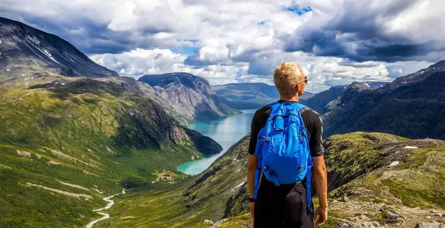
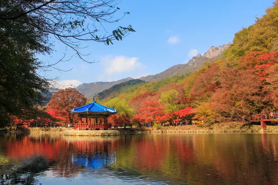
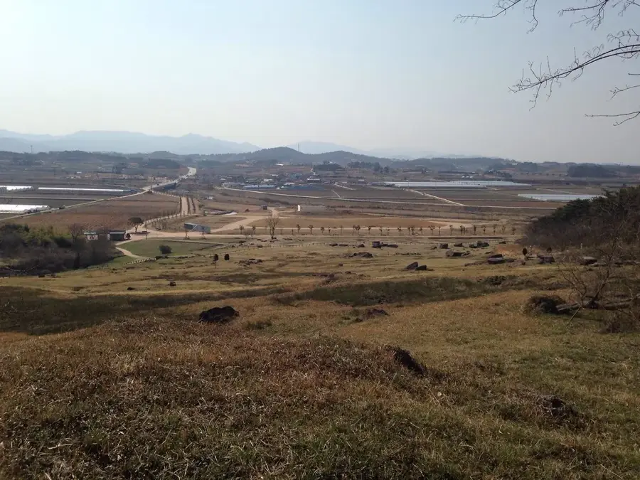
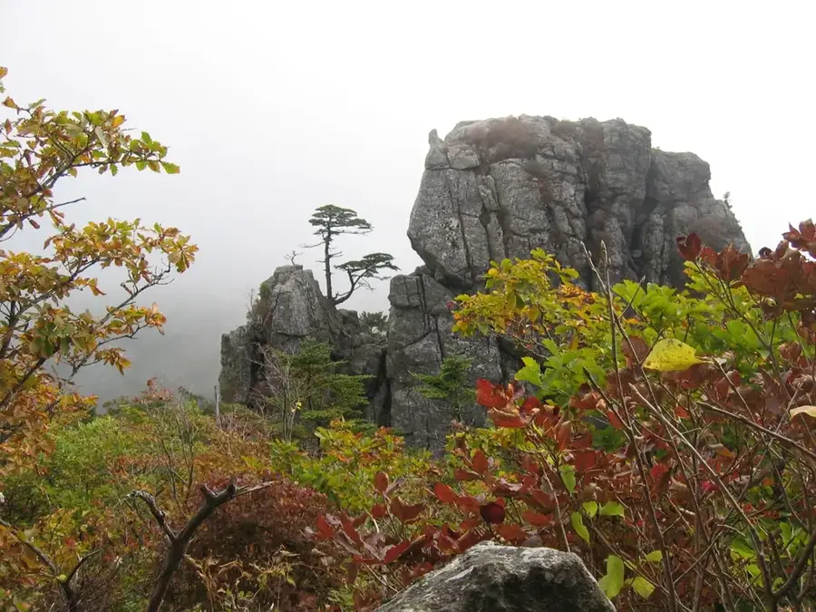
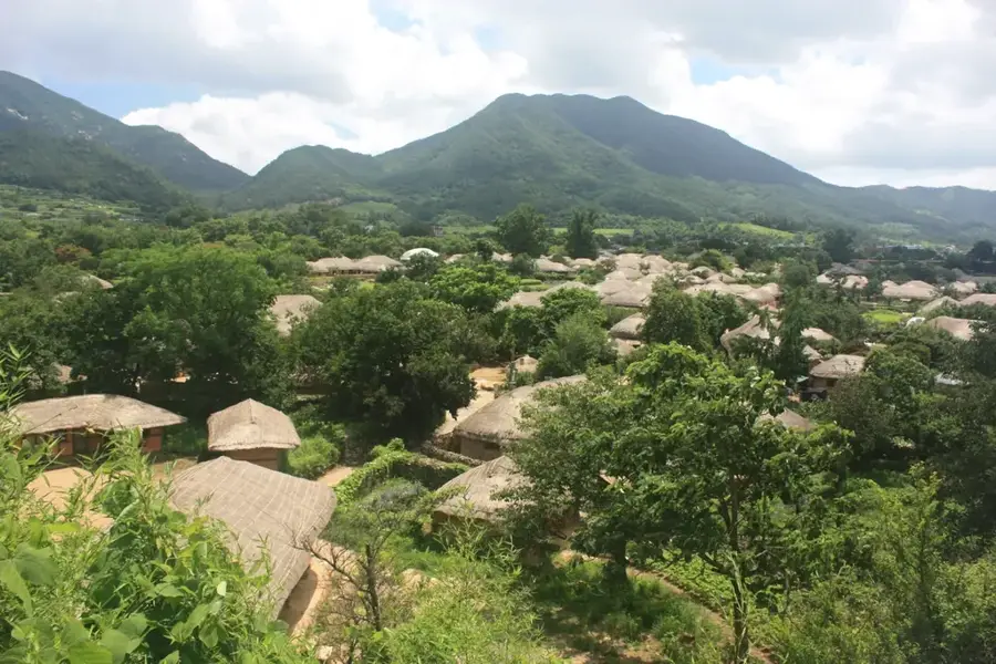
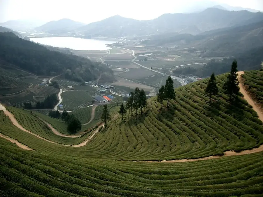
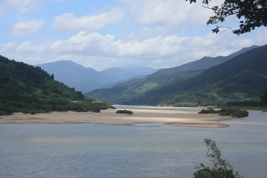
Guryong Valley is located at the foothills of Jirisan National Park near Namwon, famous for its sequence of nine waterfalls and deep pools. The name 'Guryong' translates to 'Nine Dragons,' derived from a legend stating that nine dragons descended from heaven to bathe in the valley's nine basins. The valley features a 4-kilometer hiking trail that winds through dense forests and over dramatic granite rock formations. Each of the nine basins has a unique name and distinct shape, with the uppermost basin, Guryongso, considered the most sacred site. Geologically, the valley is defined by granite bedrocks smoothed by water erosion over millennia. The region hosts various rare mosses and alpine plants that flourish in the humid microclimate. The valley is deeply embedded in local folklore and remains a significant destination for eco-tourism and spiritual retreats.
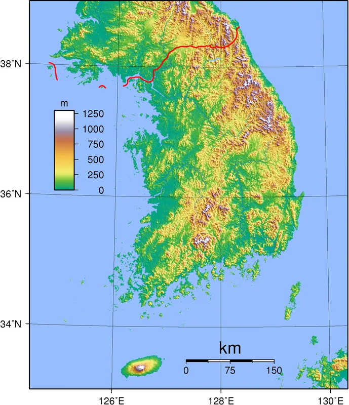
- Location: South Korea
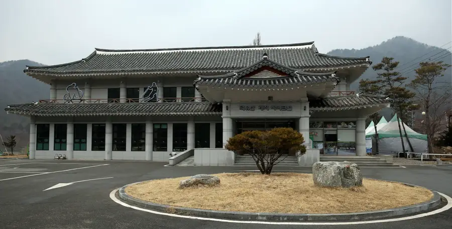
- Top sights: Leehyeonsang Agit · Viewpoint · Dwaejipyeongjeon
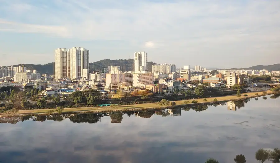
- Nearby: Gurye (16 km)
Best time to visit & climate
The most pleasant time to visit is May, Jun, Sep.
| Jan | Feb | Mar | Apr | May | Jun | Jul | Aug | Sep | Oct | Nov | Dec | |
|---|---|---|---|---|---|---|---|---|---|---|---|---|
| Avg °C | -3 | -1 | 4 | 10 | 16 | 21 | 23 | 24 | 19 | 12 | 6 | -1 |
| Rain mm | 28 | 43 | 58 | 98 | 100 | 146 | 307 | 270 | 144 | 61 | 45 | 32 |
📋 Practical info
Geography
Facts
- Features 9 waterfalls and pools
- Hiking trail length: approx. 4 km
- Located within Jirisan National Park
- Guryongso is the 9th and highest basin
- Historically significant for shamanic rites
- Elevation gain of approximately 300 meters
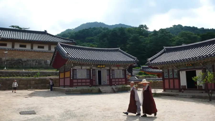
Explore nearby
Notable places around
Route planner — Car & Motorhome
Where do you start? We build the route here, with stops and country notes along the way.
© OpenStreetMap contributors · OpenRouteService
Sights in the town Guryong Valley (7)
Sights nearby
Frequently asked questions
Why is the valley named 'Guryong'?
Where is Guryong Valley located?
What are the highlights of the Guryong trail?
Is the trail suitable for beginners?
Are there parking fees there?
Guryong Valley: where is it located?
Guryong Valley: what is there to see?
Guryong Valley: when is the best time to visit?
Guryong Valley: why is it worth visiting?

Nearby cities


History & landmarks

Nature
More places