Plizio Visual Lab
Saryangdo Island Coast
Weather…
Water temperature…
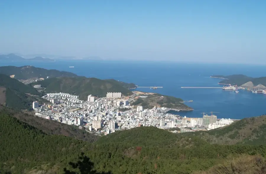
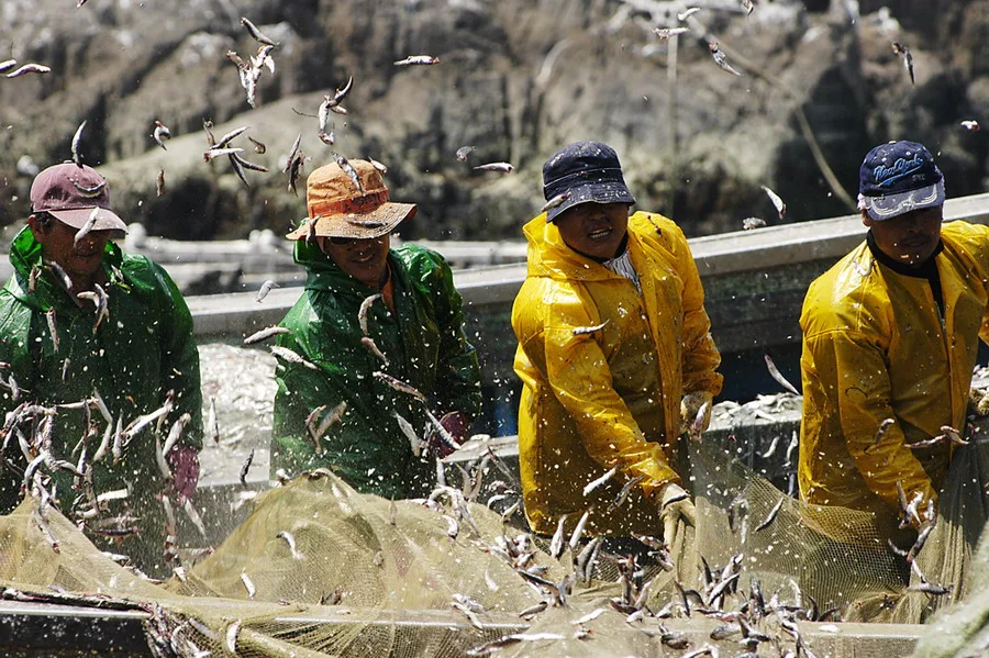
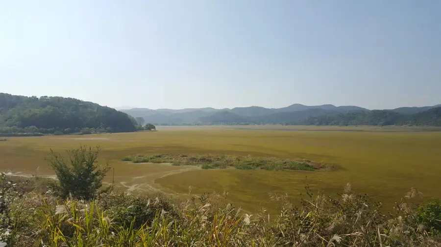
The coast of Saryangdo Island in Tongyeong is renowned for its jagged mountain ridges and dramatic cliffs that descend steeply into the South Sea. The island is divided into two main sections, Sangdo (Upper Island) and Hado (Lower Island), which have been connected by a 150-meter-long suspension bridge since 2015. The highest point on Sangdo is Mount Jirisan at 398 meters, which, despite its modest elevation, provides a challenging hiking course along narrow, rocky ridges. The coastline extends for approximately 12 kilometers and is characterized by numerous small coves and fishing villages where traditional aquaculture is practiced. Geologically, the island is primarily composed of volcanic rock that has been sculpted into its current rugged form by millennia of weathering. Saryangdo is not only a popular destination for hikers but also serves as a critical habitat for various sea bird species and marine ecosystems in Gyeongsangnam-do.
- Location: South Korea
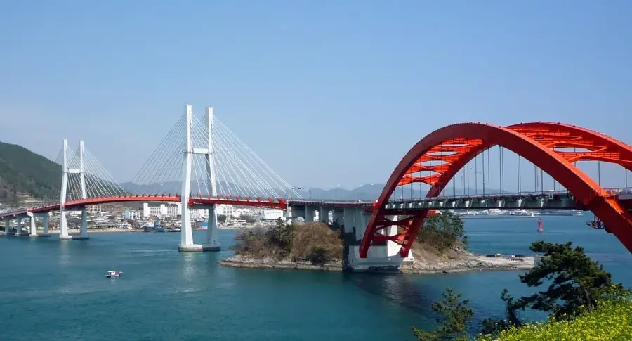
- Top sights: Namhae German Village · Changseon Bridge · Sesimsa
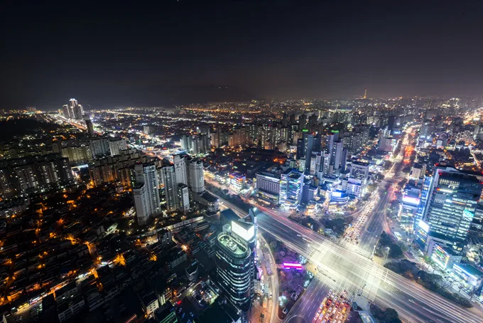
- Nearby: Samcheonpo (8 km)
Best time to visit & climate
The most pleasant time to visit is Jun, Sep, Oct.
| Jan | Feb | Mar | Apr | May | Jun | Jul | Aug | Sep | Oct | Nov | Dec | |
|---|---|---|---|---|---|---|---|---|---|---|---|---|
| Avg °C | 1 | 3 | 7 | 12 | 17 | 21 | 25 | 26 | 22 | 16 | 9 | 3 |
| Rain mm | 28 | 50 | 76 | 133 | 140 | 175 | 300 | 251 | 171 | 74 | 45 | 31 |
📋 Practical info
Geography
Facts
- Saryangdo consists of two islands: Sangdo (Upper) and Hado (Lower).
- The suspension bridge opened in 2015 is 150 meters long.
- The highest point is Mount Jirisan on Sangdo at 398 meters.
- The coastline of Sangdo is approximately 12 kilometers long.
- The most popular hiking course covers a distance of 6.5 kilometers.
- The island belongs administratively to the city of Tongyeong.
Explore nearby
Notable places around
Route planner — Car & Motorhome
Where do you start? We build the route here, with stops and country notes along the way.
© OpenStreetMap contributors · OpenRouteService
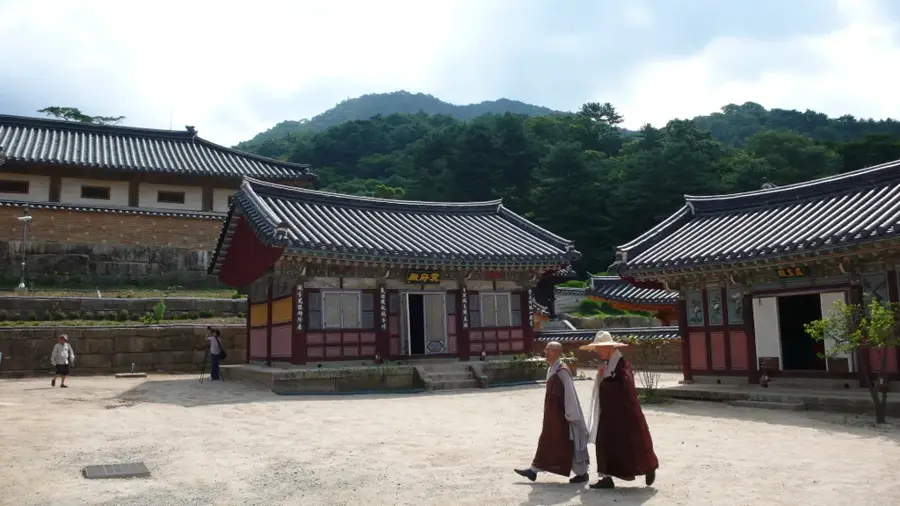
Sights in the town Saryangdo Island Coast (3)
Sights nearby
Frequently asked questions
How to get to Saryangdo Island?
What is the main challenge of hiking there?
Is Saryangdo suitable for beginners?
Is there a bridge between the island parts?
What should you eat on the island?
Saryangdo Island Coast: where is it located?
Saryangdo Island Coast: what is there to see?
Saryangdo Island Coast: when is the best time to visit?
Saryangdo Island Coast: why is it worth visiting?

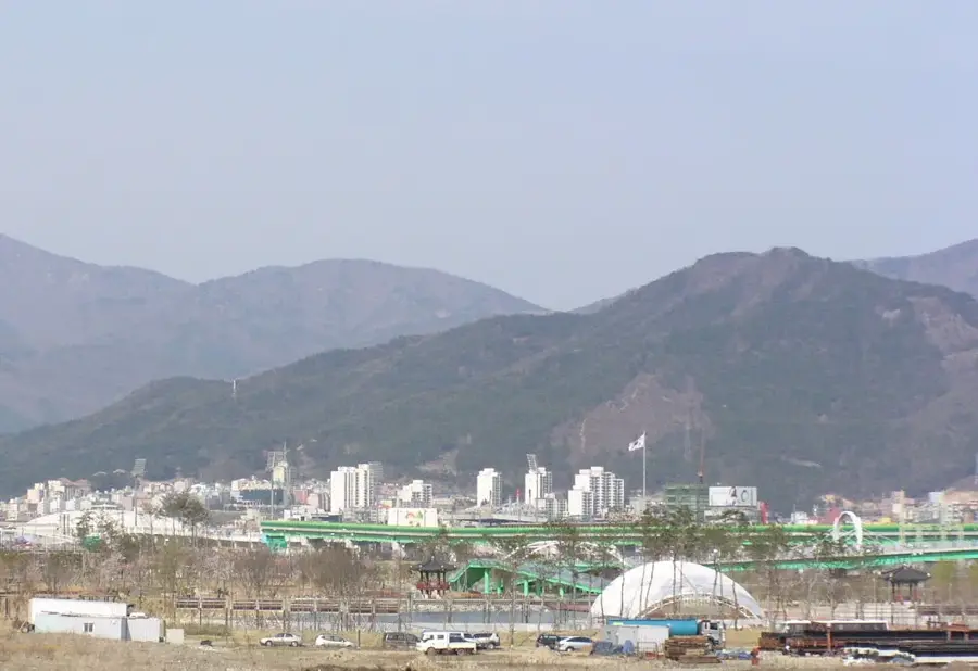
Nearby cities

History & landmarks
Nature
More places