Plizio Visual Lab
Cheorwon Plain
Weather…
Water temperature…
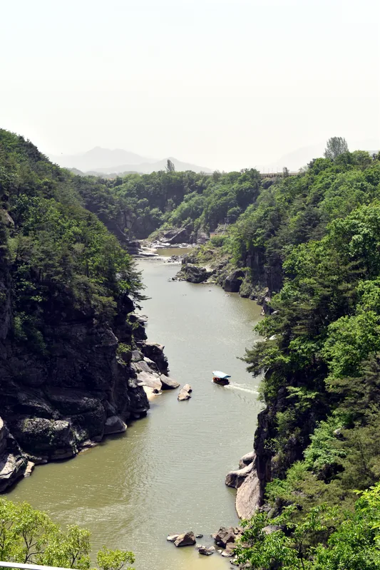
The Cheorwon Plain is a vast and fertile expanse located in the central part of the Korean Peninsula, situated directly along the Demilitarized Zone in Gangwon Province. This unique geographical feature was primarily formed by ancient volcanic activity, which deposited thick layers of basalt across the region, resulting in exceptionally rich and mineral-dense soil. Today, the plain is renowned for producing high-quality Odae rice, which is highly valued throughout South Korea for its distinct taste and nutritional properties. Beyond its agricultural importance, the area holds significant historical weight as it was a site of intense military conflict during the Korean War, most notably during the Battle of White Horse Hill. Furthermore, the plain serves as one of the world's most critical wintering grounds for endangered migratory birds, including the Red-crowned Crane and the White-naped Crane, which find refuge in the undisturbed wetlands and fields. The coexistence of modern agriculture, tragic war history, and pristine natural preservation makes the Cheorwon Plain a location of profound ecological and cultural interest.
- Location: South Korea
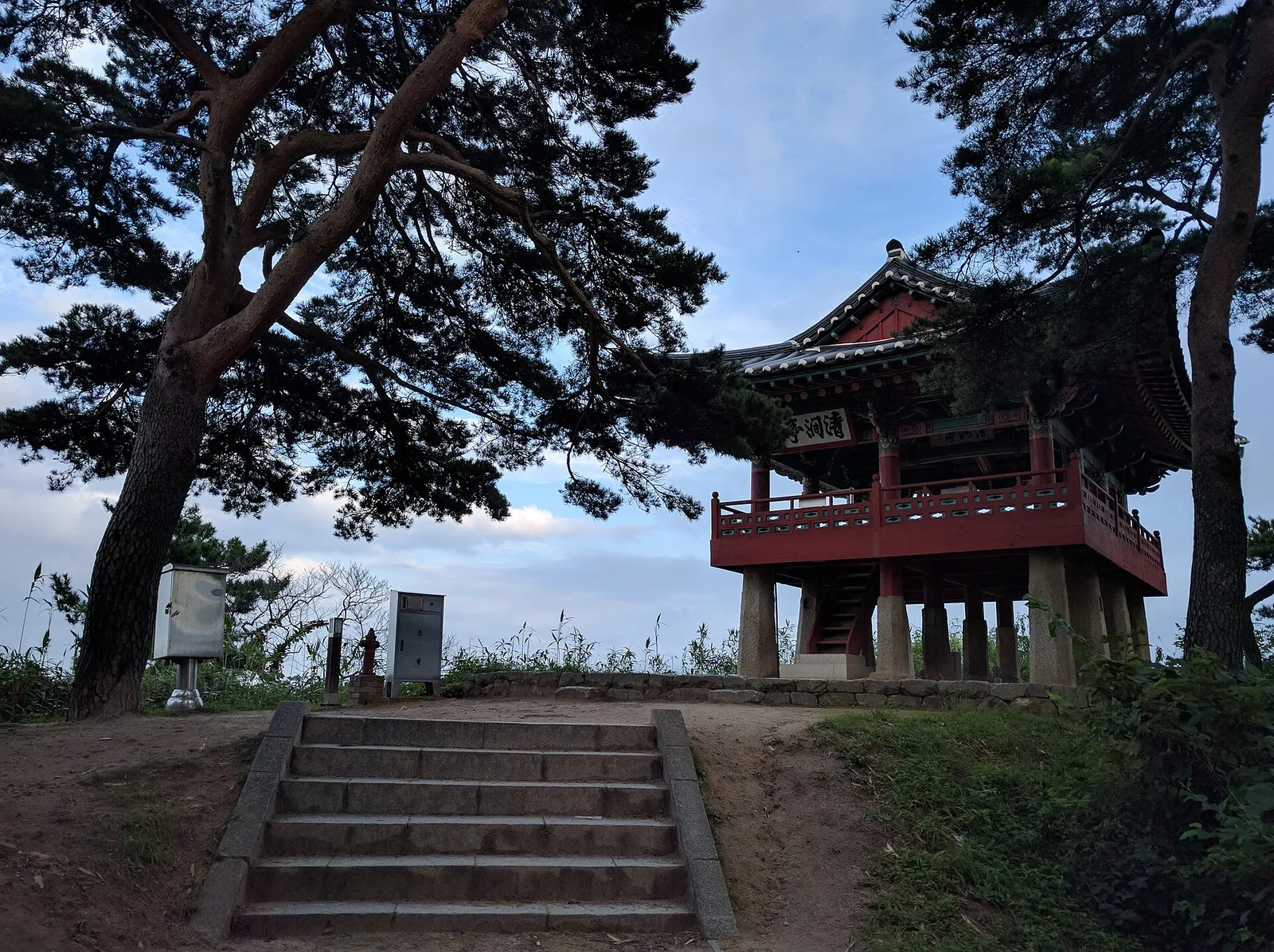
- Top sights: Cheorwon Korean Workers' Party Headquarters · Cheorwon Peace Observatory · Second Infiltration Tunnel Museum
- Nearby: Pocheon (25 km)
Best time to visit & climate
The most pleasant time to visit is May, Jun, Sep.
| Jan | Feb | Mar | Apr | May | Jun | Jul | Aug | Sep | Oct | Nov | Dec | |
|---|---|---|---|---|---|---|---|---|---|---|---|---|
| Avg °C | -9 | -5 | 1 | 7 | 14 | 19 | 22 | 22 | 17 | 10 | 2 | -6 |
| Rain mm | 18 | 28 | 33 | 67 | 85 | 108 | 362 | 290 | 139 | 63 | 60 | 24 |
📋 Practical info
Geography
Facts
- The plain was formed by lava flows from Mount Orisan, which stands at approximately 460 meters high.
- Cheorwon Odae rice was the first Korean agricultural product to receive geographical indication protection.
- Over 2000 Red-crowned and White-naped Cranes winter in this area every year.
- During the Korean War, the area was a strategic part of the so-called Iron Triangle.
- The basalt layer in the plain reaches a thickness of up to 80 meters in certain locations.
- It is one of the few places globally where migratory birds can be observed within a military buffer zone.
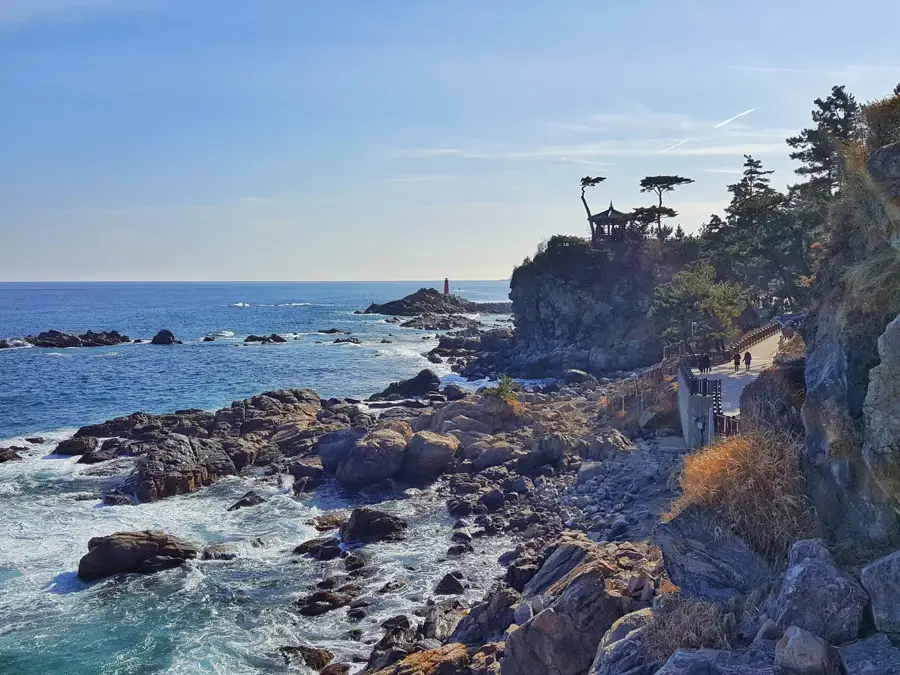
Explore nearby
Notable places around
Route planner — Car & Motorhome
Where do you start? We build the route here, with stops and country notes along the way.
© OpenStreetMap contributors · OpenRouteService
Sights in the town Cheorwon Plain (4)
Sights nearby
Frequently asked questions
What is Cheorwon Plain?
When can you observe cranes there?
Are there DMZ tours there?
Can you explore the plain on your own?
Which monument is famous in Cheorwon?
Cheorwon Plain: where is it located?
Cheorwon Plain: what is there to see?
Cheorwon Plain: when is the best time to visit?
Cheorwon Plain: why is it worth visiting?

Nearby cities


History & landmarks

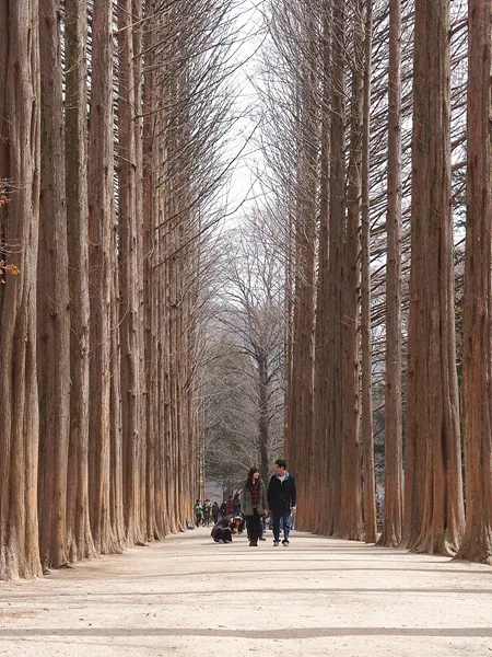
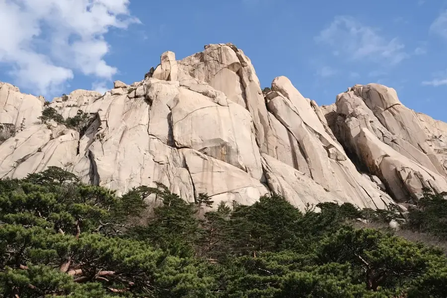
Nature
More places