Plizio Visual Lab
Seoraksan National Park
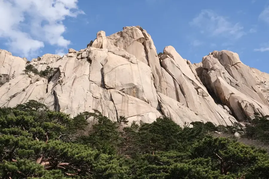
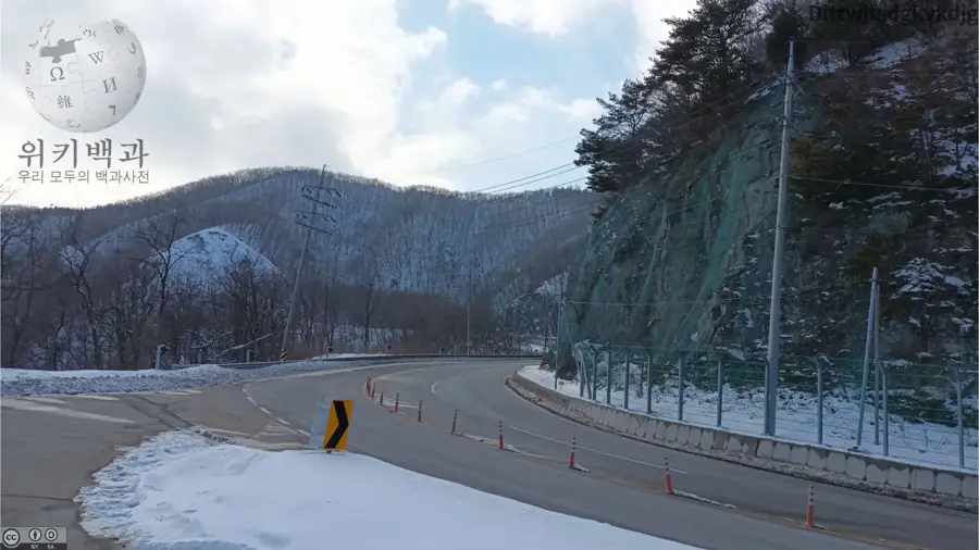
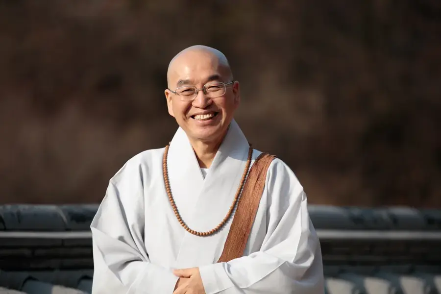
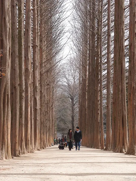
Seoraksan National Park in Gangwon-do Province is one of South Korea's most iconic natural areas, designated as a UNESCO Biosphere Reserve in 1982. The park is home to Daecheongbong, the country's third-highest peak at 1,708 meters. The landscape is renowned for its striking granite formations, deep gorges, and numerous waterfalls, attracting hikers particularly in autumn when the deciduous forests display lively foliage. The flora comprises over 1,000 plant species, including rare types such as the Seoraksan Edelweiss. The fauna is equally diverse, with over 1,500 animal species, including the rare Asiatic black bear. Culturally, the Sinheungsa Temple is significant, housing a massive bronze Buddha statue and serving as a center for Korean Buddhism. A cable car to the Gwongeumseong peak features expansive views of the mountain range and the Sea of Japan. The park management prioritizes ecological integrity to sustain the region's rich biodiversity for future generations.
- Location: South Korea
- Top sights: Kkeutcheong Peak View · Sajabawi · Pokpo Viewpoint
- Nearby: Cheonjin-ri (13 km)
Best time to visit & climate
The most pleasant time to visit is May, Jun, Oct.
| Jan | Feb | Mar | Apr | May | Jun | Jul | Aug | Sep | Oct | Nov | Dec | |
|---|---|---|---|---|---|---|---|---|---|---|---|---|
| Avg °C | -1 | 1 | 5 | 10 | 16 | 20 | 23 | 24 | 20 | 15 | 8 | 1 |
| Rain mm | 31 | 44 | 49 | 84 | 80 | 119 | 345 | 284 | 196 | 91 | 70 | 33 |
📋 Practical info
Geography
Facts
- Designated as a UNESCO Biosphere Reserve in 1982.
- Daecheongbong is the highest point in the park at 1,708 meters.
- Home to the 7th-century Sinheungsa Temple.
- The bronze 'Jwabul' Buddha statue is 14.6 meters tall.
- Over 1,000 plant species are documented within the park.
- The cable car to Gwongeumseong has been in operation since 1971.
Explore nearby
Notable places around
Route planner — Car & Motorhome
Where do you start? We build the route here, with stops and country notes along the way.
© OpenStreetMap contributors · OpenRouteService
Sights in the town Seoraksan National Park (7)
Sights nearby
Frequently asked questions
What animals live in Seoraksan?
When is the autumn foliage most beautiful?
Are there times when trails are closed?
Is there drinking water along the trails?
What is the weather like in the mountains?
Seoraksan National Park: where is it located?
Seoraksan National Park: what is there to see?
Seoraksan National Park: when is the best time to visit?
Seoraksan National Park: why is it worth visiting?

Nearby cities

History & landmarks

Nature
More places