Plizio Visual Lab
Seoraksan National Park

Weather…
Water temperature…
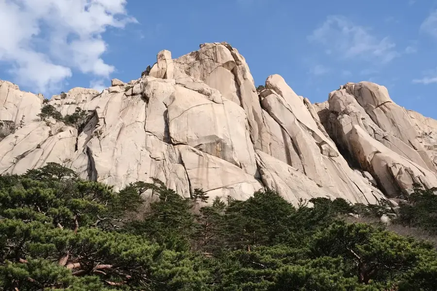
Seoraksan National Park is located in northeastern South Korea in Gangwon Province, covering an area of approximately 398 square kilometers. Part of the Taebaek mountain range, its highest peak is Daecheongbong, which stands at 1,708 meters above sea level as the nation's third-highest mountain. The park is internationally renowned for its dramatic granite rock formations, deep valleys, and high biodiversity, including over 1,400 plant species and rare animals such as the Siberian musk deer. It was designated as South Korea's fifth national park in 1970 and recognized as a UNESCO Biosphere Reserve in 1982. Within its boundaries lies the Sinheungsa Temple, originally founded in the 7th century, featuring a massive bronze Buddha statue known as Tongil Daebul. The park's bustling autumn foliage attracts millions of visitors annually who explore its extensive trail network and utilize the cable car to the Gwongeumseong Fortress peaks.
- Location: South Korea
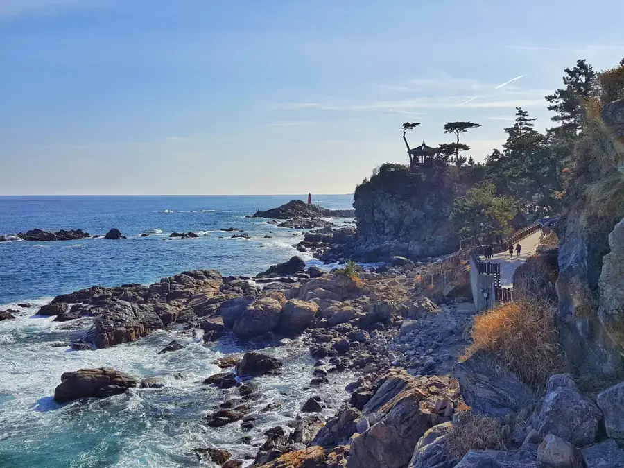
- Top sights: Viewpoint · Geumgangguli Cave · Munsudam
- Nearby: Cheonjin-ri (10 km)
Best time to visit & climate
The most pleasant time to visit is May, Jun, Oct.
| Jan | Feb | Mar | Apr | May | Jun | Jul | Aug | Sep | Oct | Nov | Dec | |
|---|---|---|---|---|---|---|---|---|---|---|---|---|
| Avg °C | -1 | 1 | 5 | 10 | 16 | 20 | 23 | 24 | 20 | 15 | 8 | 1 |
| Rain mm | 31 | 44 | 49 | 84 | 80 | 119 | 345 | 284 | 196 | 91 | 70 | 33 |
📋 Practical info
Geography
Facts
- Daecheongbong is the highest peak in the park at 1,708 meters.
- The area was designated as a UNESCO Biosphere Reserve in 1982.
- The bronze Buddha statue at Sinheungsa Temple weighs 108 tons.
- The park is home to over 1,400 species of vascular plants.
- The cable car to Gwongeumseong travels a distance of 1,128 meters.
- The park was officially established on March 24, 1970.
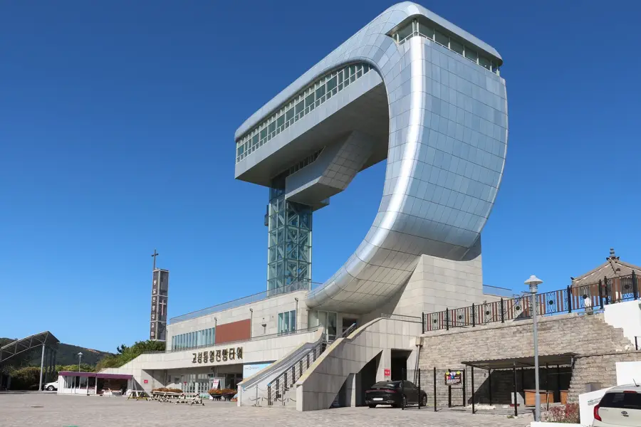
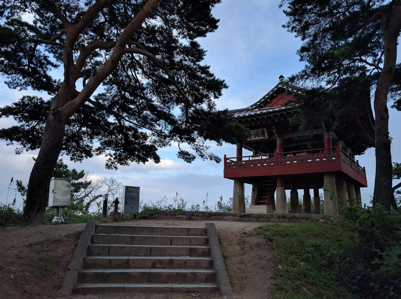
Explore nearby
Notable places around
Route planner — Car & Motorhome
Where do you start? We build the route here, with stops and country notes along the way.
© OpenStreetMap contributors · OpenRouteService
Sights in the town Seoraksan National Park (11)
Sights nearby
Frequently asked questions
Is there a cable car in the park?
Which temple is the most famous here?
How much is the entrance fee?
Is the trail to Ulsanbawi Rock difficult?
Are there parking spaces at the entrance?
Seoraksan National Park: where is it located?
Seoraksan National Park: what is there to see?
Seoraksan National Park: when is the best time to visit?
Seoraksan National Park: why is it worth visiting?

Nearby cities

Nature
More places