Plizio Visual Lab
Daegwallyeong Plateau
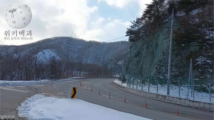
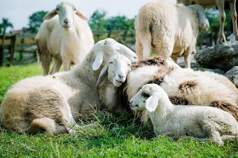
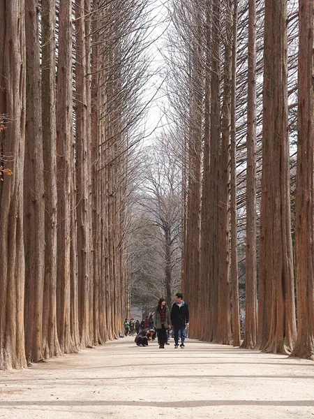
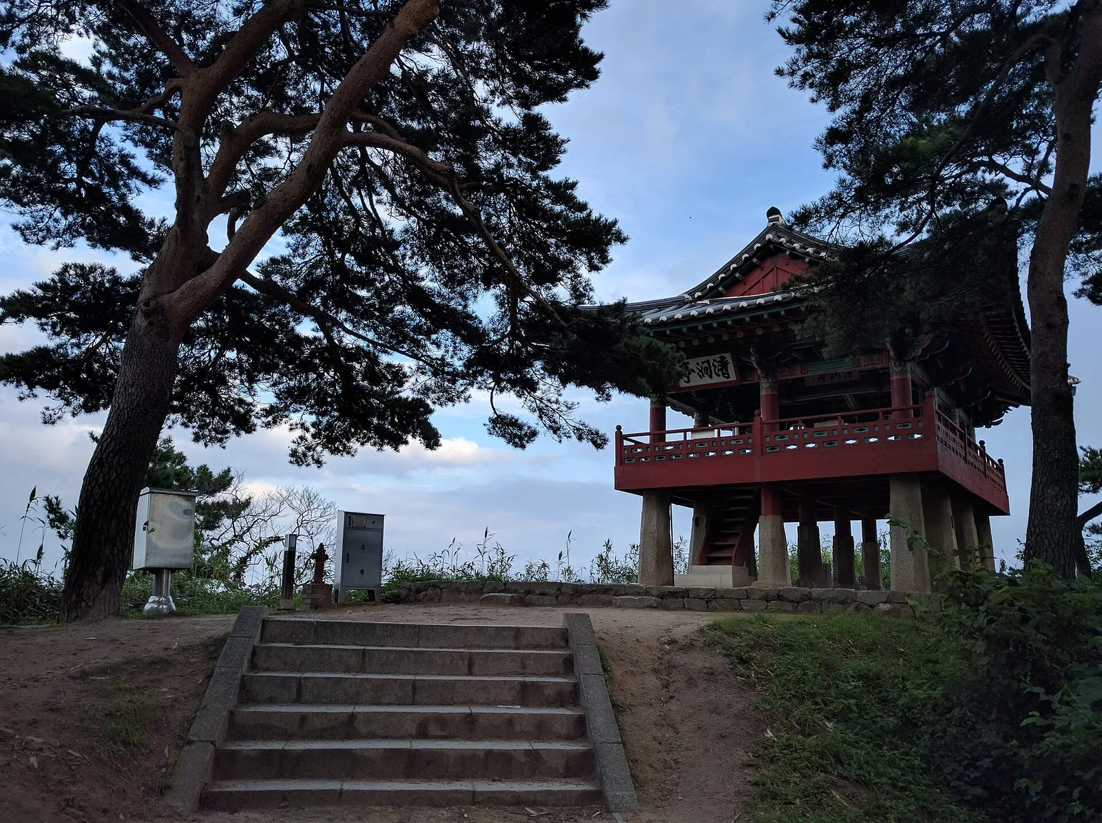
The Daegwallyeong Plateau is situated on the border of Pyeongchang and Gangneung in Gangwon Province, at an average elevation of 832 meters. This area serves as one of South Korea's most critical mountain passes, connecting the Yeongseo and Yeongdong regions across the Taebaek Mountains. The plateau is famous for its extreme weather conditions, particularly heavy snowfalls that often reach depths of 1 to 2 meters during winter, providing handy conditions for winter sports. The economic significance of the region is derived from livestock farming, notably sheep ranching and dairy production, as well as the country's first large-scale wind farm inaugurated in 2006. Culturally, the pass played a vital role in historical trade routes and is part of the route for the UNESCO-recognized Gangneung Danoje Festival. The plateau's clean air and distinctive alpine scenery make it a popular getaway, offering a cool sanctuary from the summer heat.
- Location: South Korea
- Top sights: hwaranbong · neunggyeongbong · Alpensia ski jump center
- Nearby: Sandaewol-ri (17 km)
Best time to visit & climate
The most pleasant time to visit is May, Jun, Sep.
| Jan | Feb | Mar | Apr | May | Jun | Jul | Aug | Sep | Oct | Nov | Dec | |
|---|---|---|---|---|---|---|---|---|---|---|---|---|
| Avg °C | -6 | -3 | 2 | 8 | 14 | 19 | 22 | 22 | 17 | 11 | 4 | -4 |
| Rain mm | 29 | 40 | 49 | 83 | 77 | 124 | 321 | 264 | 184 | 80 | 58 | 27 |
📋 Practical info
Geography
Facts
- The average elevation of the plateau is 832 meters above sea level.
- The Daegwallyeong Pass has a total length of approximately 13 kilometers.
- South Korea's first large-scale wind farm was established here in 2006.
- During winter, the plateau receives an average of 1 to 2 meters of snow.
- The pass is part of the historical route for the Gangneung Danoje Festival.
- The region served as a primary venue for the 2018 Winter Olympics.
Explore nearby
Notable places around
Route planner — Car & Motorhome
Where do you start? We build the route here, with stops and country notes along the way.
© OpenStreetMap contributors · OpenRouteService
Sights in the town Daegwallyeong Plateau (4)
Sights nearby
Frequently asked questions
What are the main attractions on Daegwallyeong Plateau?
Can you feed sheep at the farms?
How is the weather there in summer?
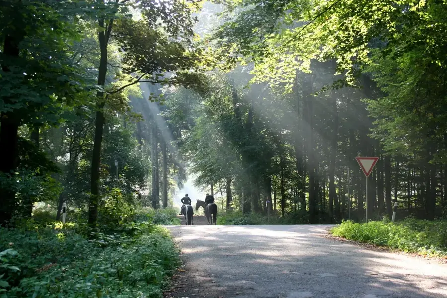
Are there hiking opportunities there?
Is it worth visiting in winter?
Daegwallyeong Plateau: where is it located?
Daegwallyeong Plateau: what is there to see?
Daegwallyeong Plateau: when is the best time to visit?
Daegwallyeong Plateau: why is it worth visiting?

Nearby cities

History & landmarks

Nature
More places