Plizio Visual Lab
Hantaan River Geopark
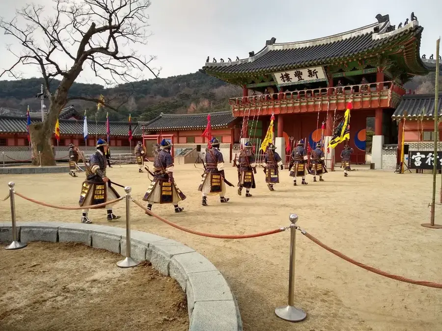
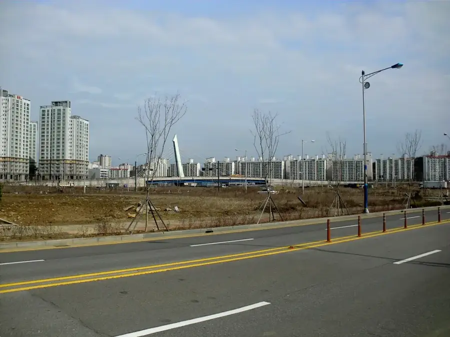
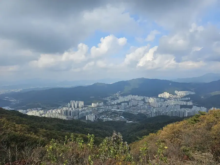
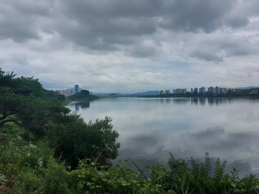
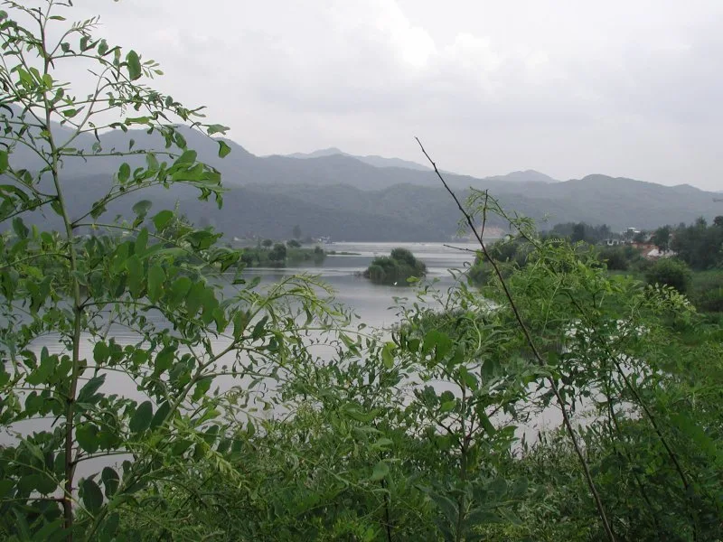
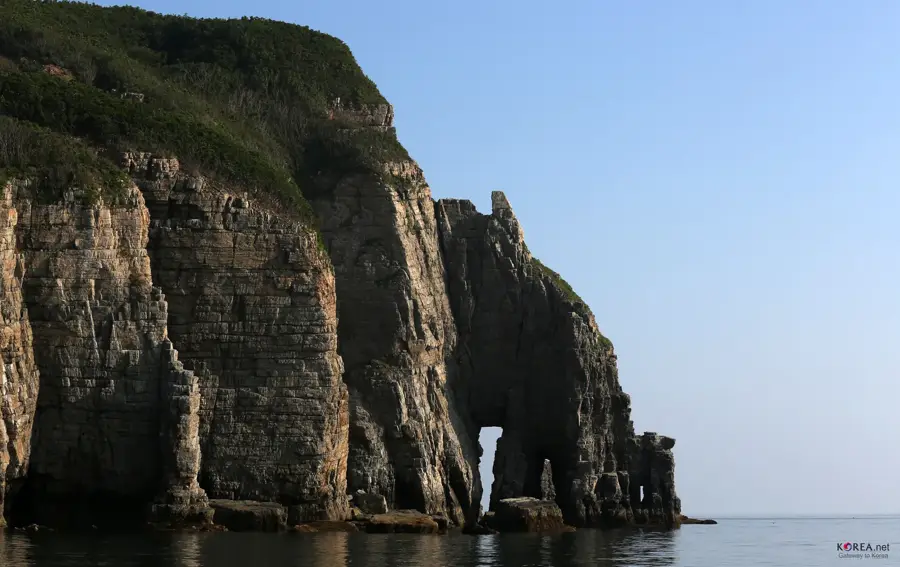
The Hantaan River Geopark is a UNESCO Global Geopark spanning Cheorwon, Pocheon, and Yeoncheon in South Korea. It is internationally recognized for its unique volcanic landscape, created by basaltic lava flows following the eruption of Mount Orung between 500,000 and 100,000 years ago. The Hantaan River has carved deep canyons into the basalt, revealing spectacular columnar jointing structures that are rarely seen on mainland Asia. Beyond its geological significance, the area holds great historical weight as a major battlefield during the Korean War. Currently, the geopark serves as a key site for geological research and eco-tourism, featuring numerous hiking trails along the riverbanks. Iconic landmarks within the park include the Bidulginang Waterfall, which is a protected natural monument and a popular filming location for historical dramas and movies.
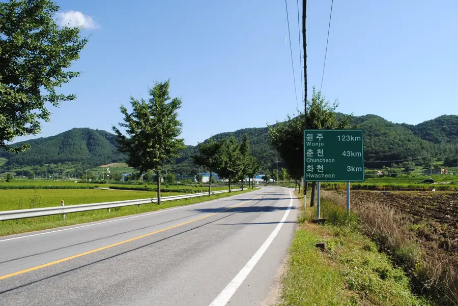
- Location: South Korea
- Nearby: Pocheon (15 km)
Best time to visit & climate
The most pleasant time to visit is May, Jun, Sep.
| Jan | Feb | Mar | Apr | May | Jun | Jul | Aug | Sep | Oct | Nov | Dec | |
|---|---|---|---|---|---|---|---|---|---|---|---|---|
| Avg °C | -7 | -4 | 2 | 8 | 15 | 20 | 23 | 23 | 18 | 11 | 3 | -5 |
| Rain mm | 20 | 31 | 36 | 72 | 84 | 116 | 372 | 282 | 140 | 61 | 55 | 23 |
📋 Practical info
Geography
Facts
- Designated as a UNESCO Global Geopark in 2020.
- Basalt formations date back 100,000 to 500,000 years.
- The river canyons reach depths of up to 30 meters.
- Bidulginang Waterfall is South Korean Natural Monument No. 537.
- The geopark covers an area of approximately 1,165 square kilometers.
- It features some of the best examples of columnar jointing in Asia.
Explore nearby
Notable places around
Route planner — Car & Motorhome
Where do you start? We build the route here, with stops and country notes along the way.
© OpenStreetMap contributors · OpenRouteService
Sights in the town Hantaan River Geopark (1)
Sights nearby
Frequently asked questions
What is unique about the Hantaan River Geopark?
Can you go rafting on the Hantaan River?
Are there well-marked hiking trails?
Is the park accessible in winter?
Do I need a car to visit the geopark?
Hantaan River Geopark: where is it located?
Hantaan River Geopark: when is the best time to visit?
Hantaan River Geopark: why is it worth visiting?

Nearby cities


History & landmarks
More places