Plizio Visual Lab
Tsitsikamma Forest
Weather…
Water temperature…
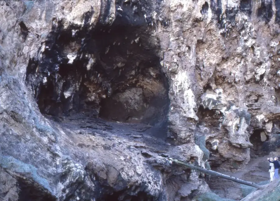
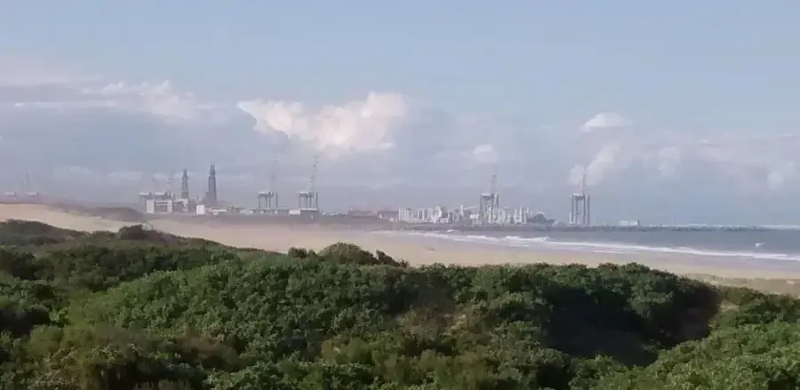
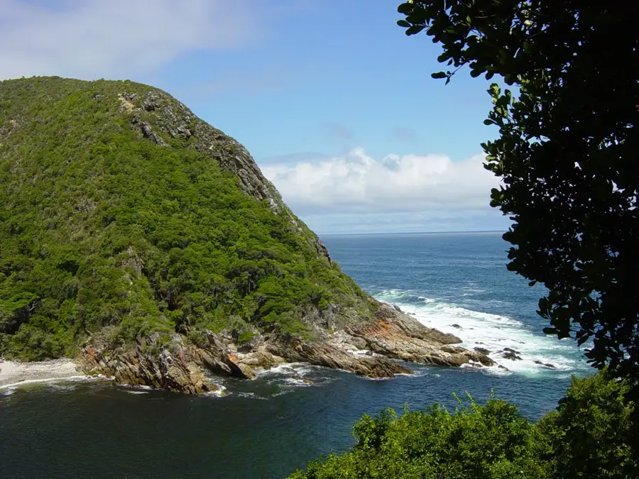
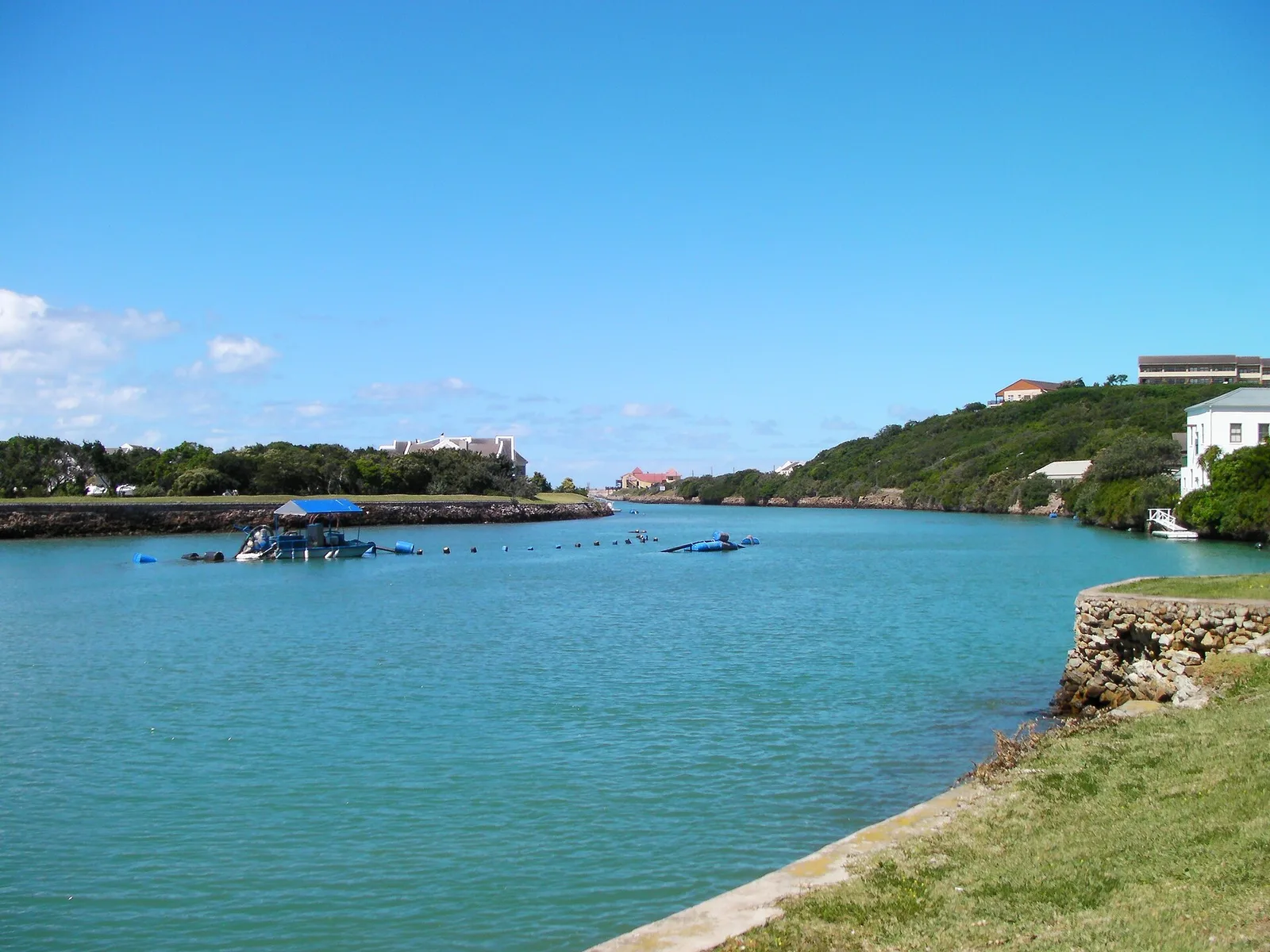
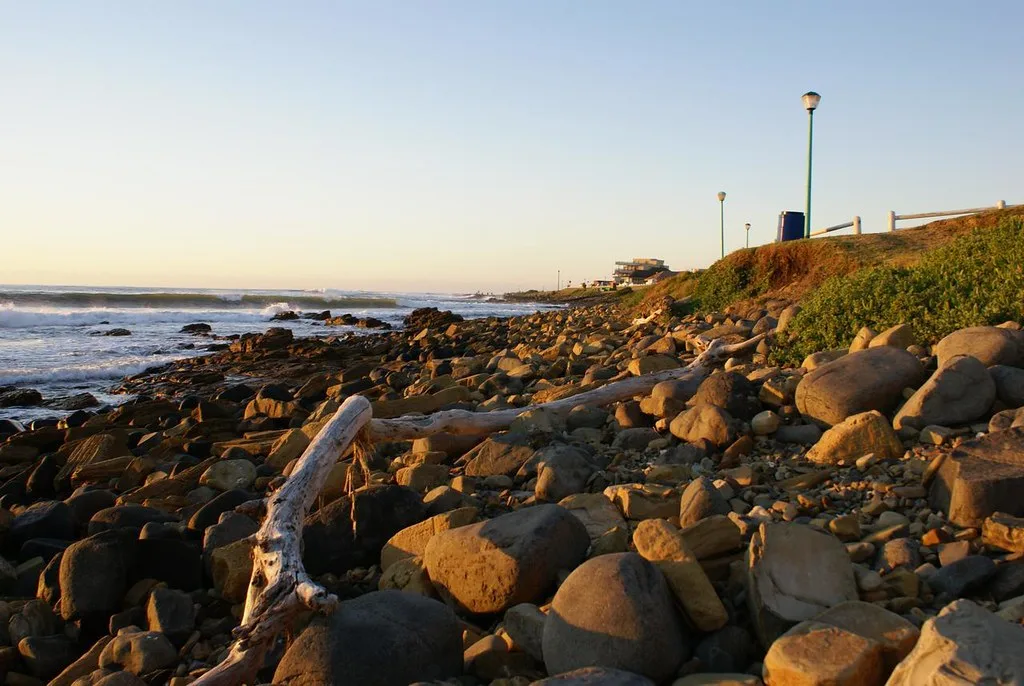
Tsitsikamma Forest is a magnificent indigenous woodland stretching along South Africa's Garden Route, now managed as part of the Garden Route National Park. The name originates from the Khoikhoi language, meaning 'place of much water,' a reference to the many rivers and streams that dissect the landscape. The forest is celebrated for its towering Outeniqua Yellowwood trees, some of which are over 800 years old and reach heights of nearly 40 meters. Its dense canopy consists of a rich variety of native species, ferns, and lianas, creating an ancient, primeval atmosphere. Geographically, the forest is wedged between the Tsitsikamma Mountains and the rugged coastline of the Indian Ocean. A highlight of the region is the Storms River Mouth, where iconic suspension bridges span the dramatic river gorge. The protected area includes not only the lush forest but also a significant marine reserve extending into the ocean. Hiking trails like the Otter Trail allow visitors to experience the park's untouched wilderness and coastal beauty.
- Location: South Africa
- Top sights: Storms River Bridge Viewpoint · Skuitbaai · Bloubaai Lookout
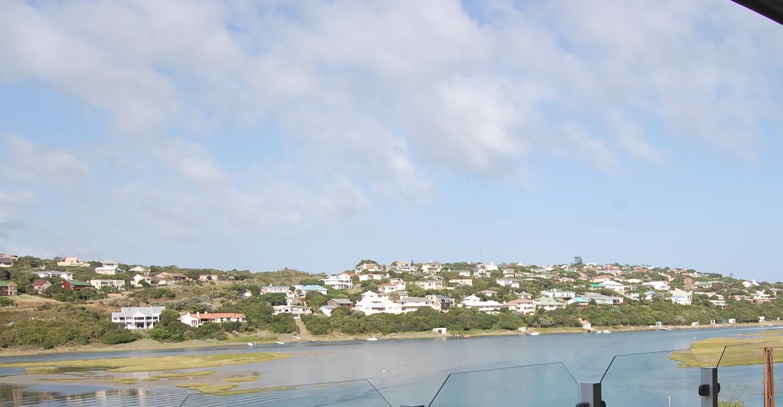
- Nearby: Oubosstrand (29 km)
Best time to visit & climate
The most pleasant time to visit is Jan, Feb, Dec.
| Jan | Feb | Mar | Apr | May | Jun | Jul | Aug | Sep | Oct | Nov | Dec | |
|---|---|---|---|---|---|---|---|---|---|---|---|---|
| Avg °C | 21 | 21 | 20 | 18 | 16 | 14 | 14 | 14 | 15 | 17 | 18 | 19 |
| Rain mm | 40 | 42 | 58 | 46 | 34 | 37 | 40 | 55 | 41 | 50 | 57 | 40 |
📋 Practical info
Geography
Facts
- The 'Big Tree' in the forest stands 36 meters tall and is over 800 years old.
- Tsitsikamma National Park was established in 1964 as a coastal reserve.
- It was the first marine protected area to be designated in Africa.
- The suspension bridge at Storms River Mouth is 77 meters in length.
- The world-famous Otter Trail covers a total distance of 42 kilometers.
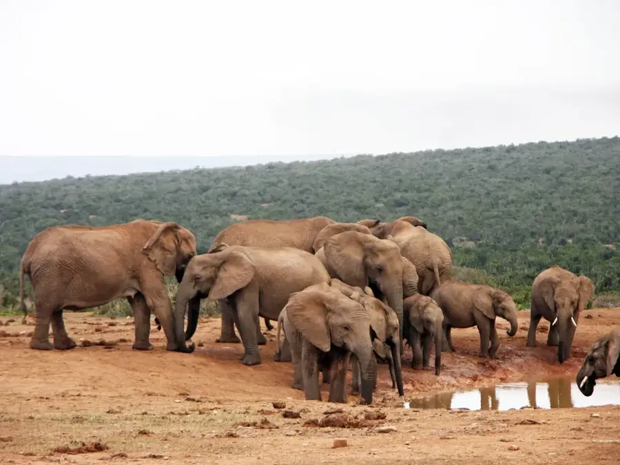
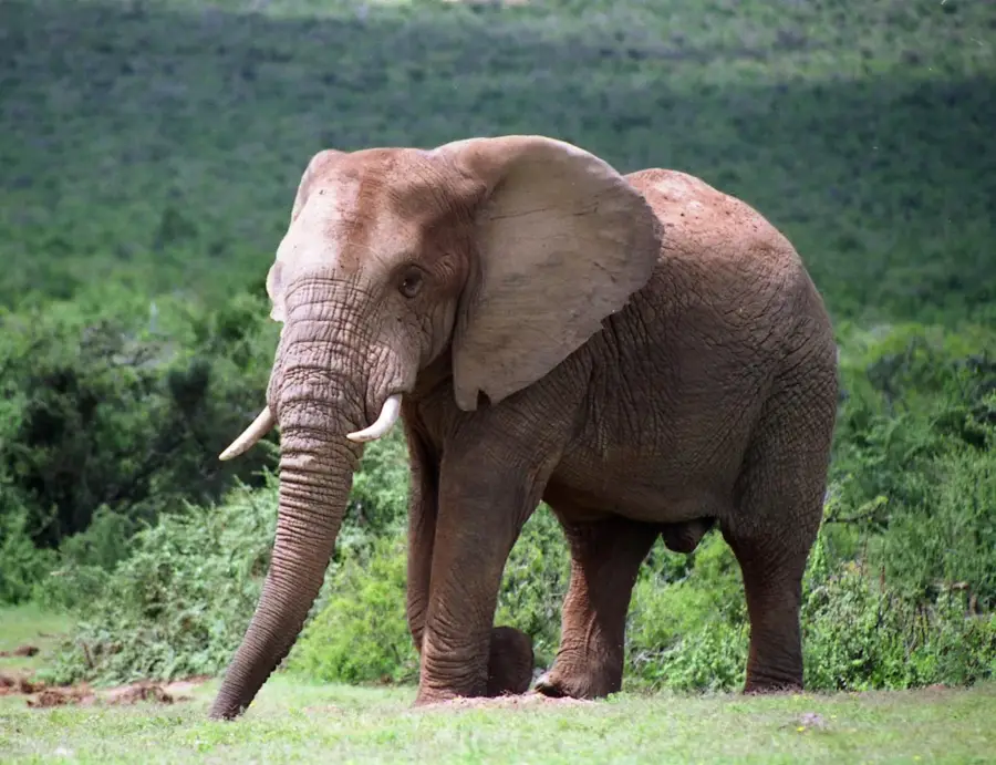
- The forest is home to unique species like the Knysna turaco and Cape clawless otter.
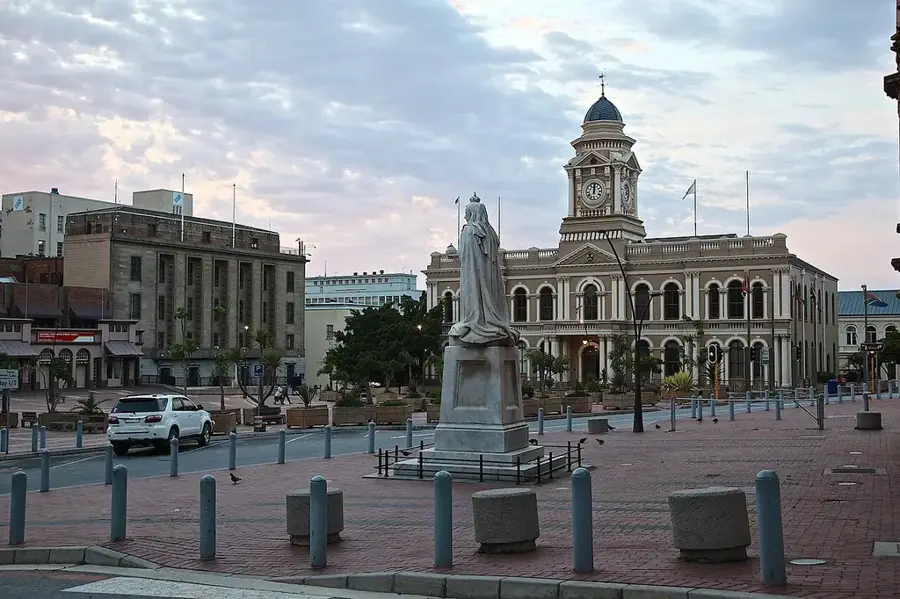
Explore nearby
Notable places around
Route planner — Car & Motorhome
Where do you start? We build the route here, with stops and country notes along the way.
© OpenStreetMap contributors · OpenRouteService
Sights in the town Tsitsikamma Forest (7)
Sights nearby
Frequently asked questions
What is special about the Tsitsikamma forest?
Are there hiking trails?
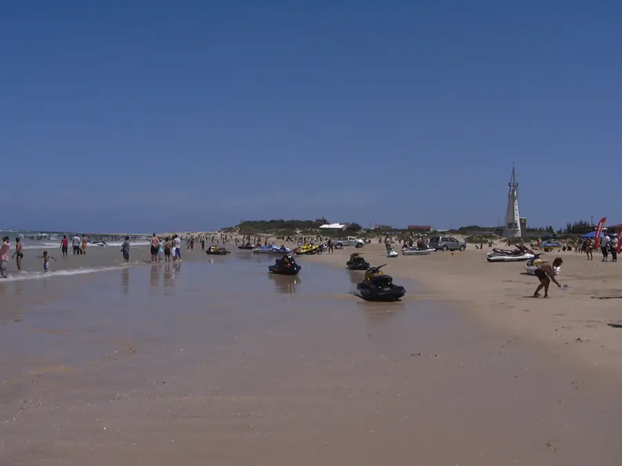
Is the water suitable for swimming?
What is the weather like there?
Do I have to pay an entrance fee?
Tsitsikamma Forest: where is it located?
Tsitsikamma Forest: what is there to see?
Tsitsikamma Forest: when is the best time to visit?
Tsitsikamma Forest: why is it worth visiting?

Nearby cities

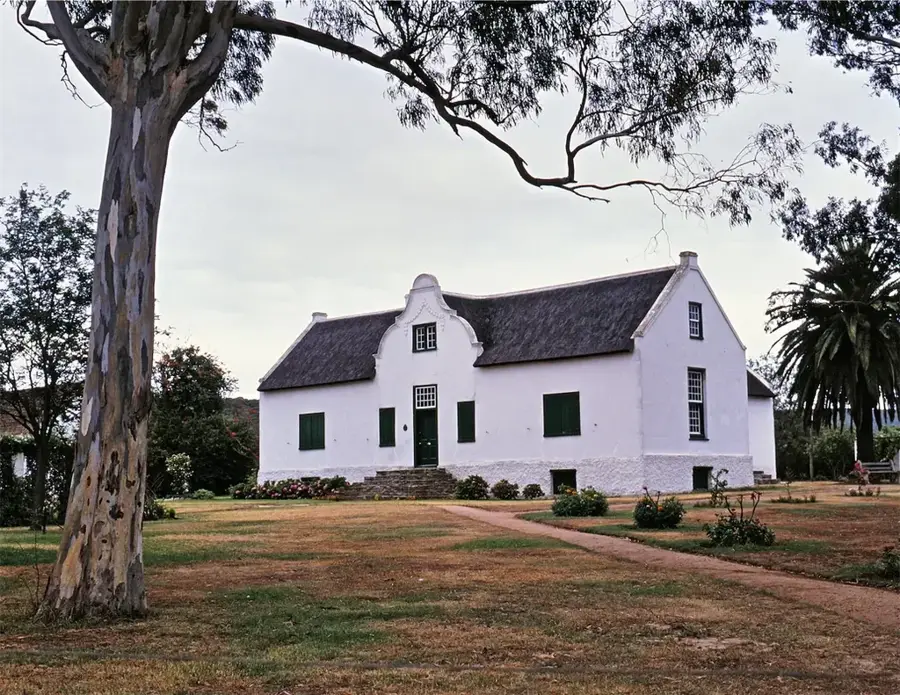


History & landmarks


More places