Plizio Visual Lab
Baviaanskloof Valley
Weather…
Water temperature…
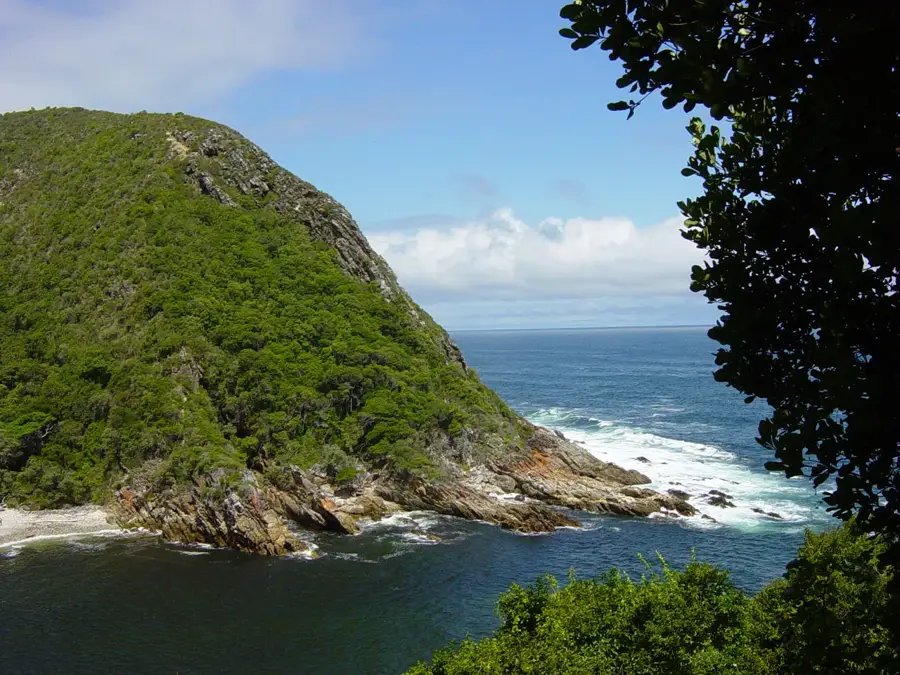
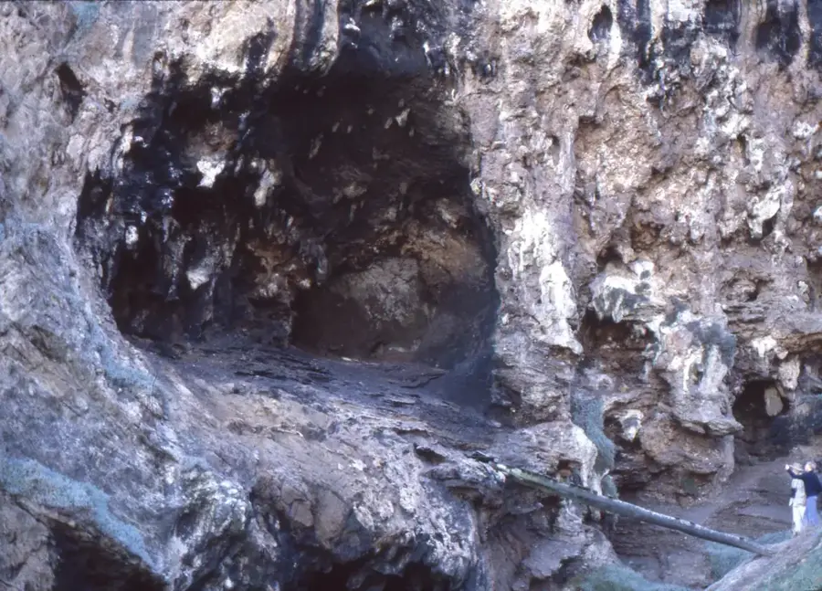
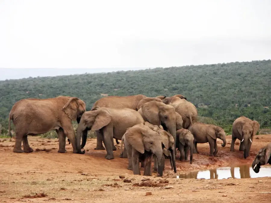
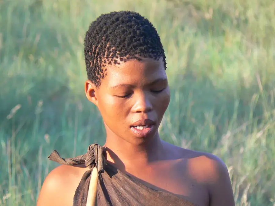
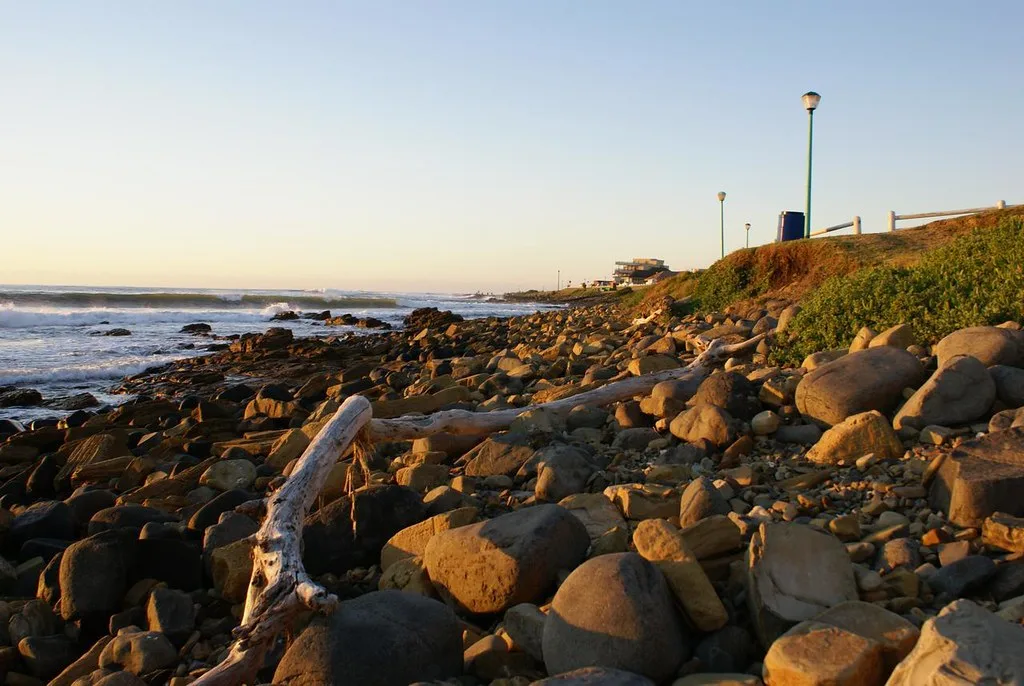
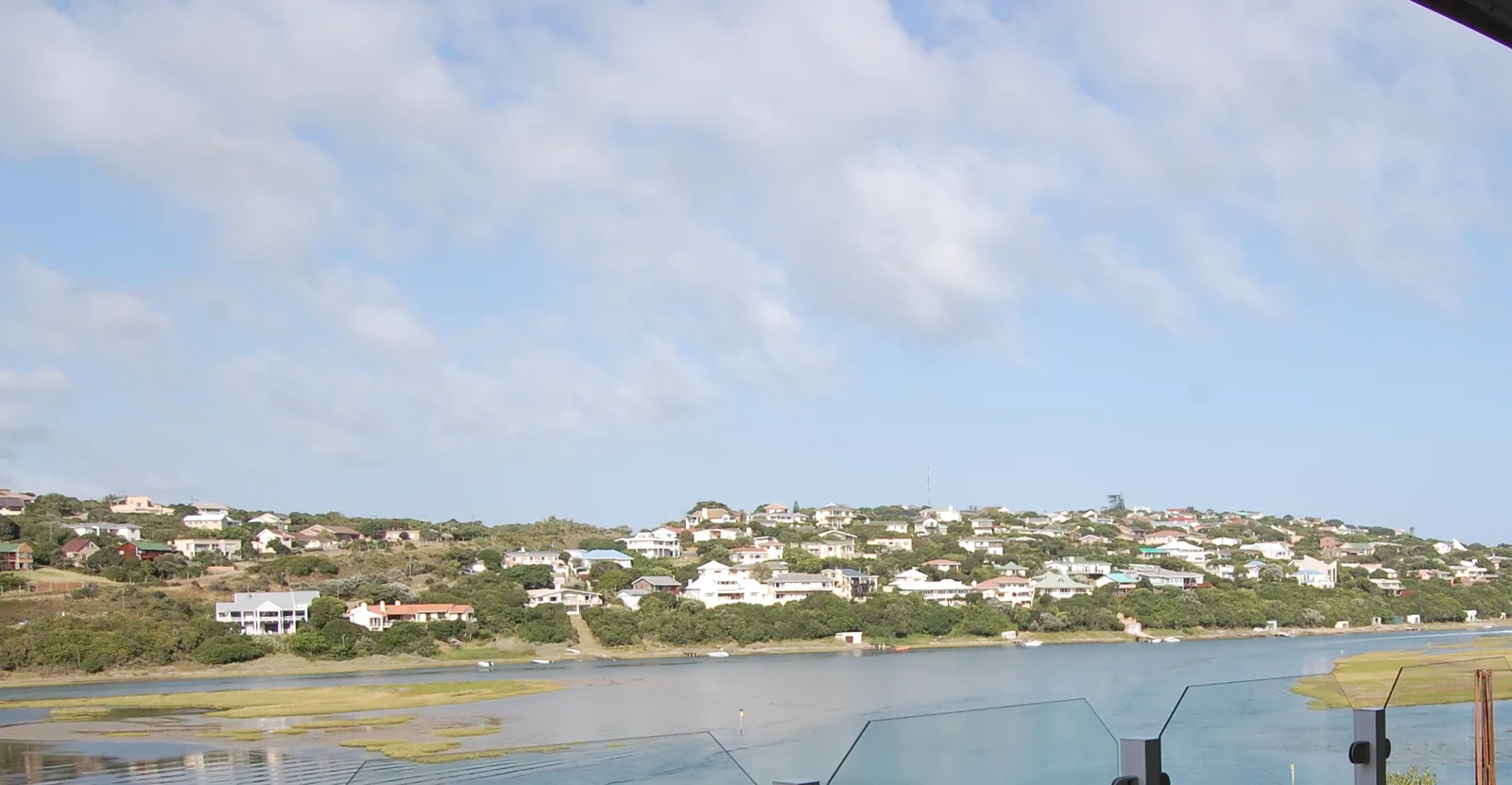
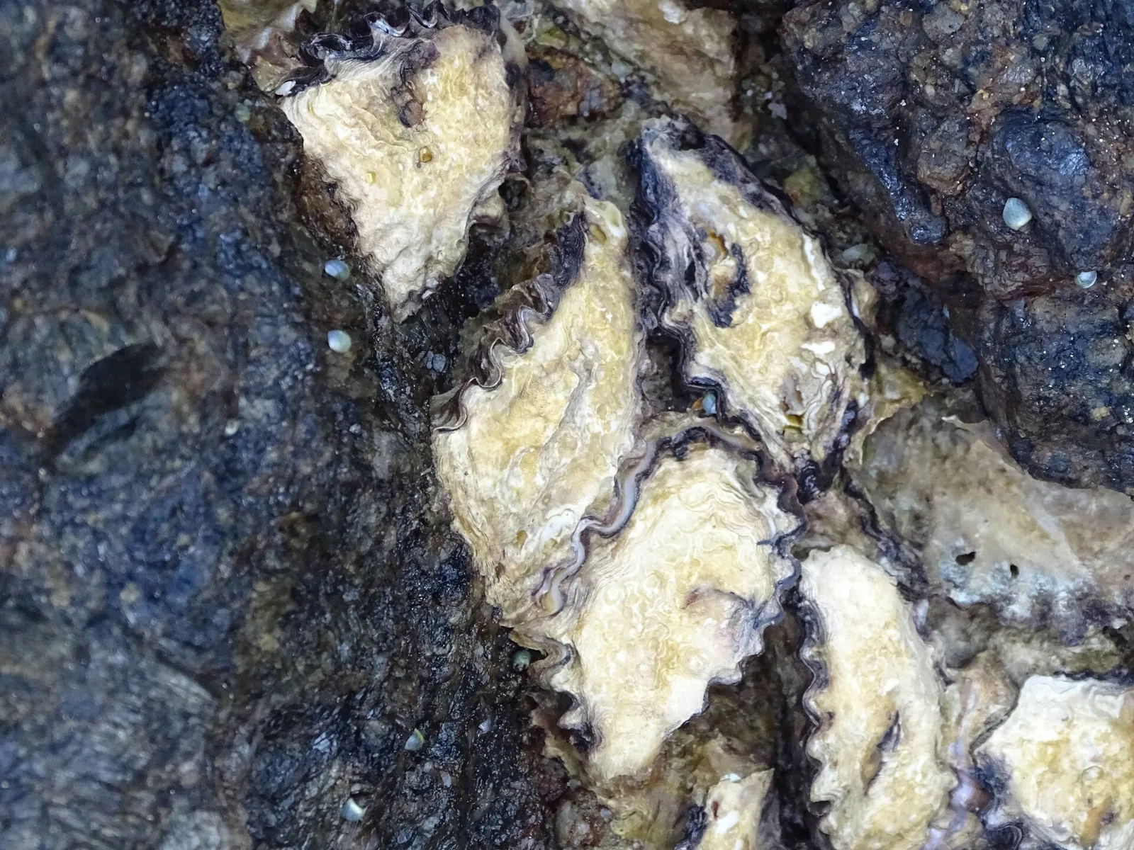
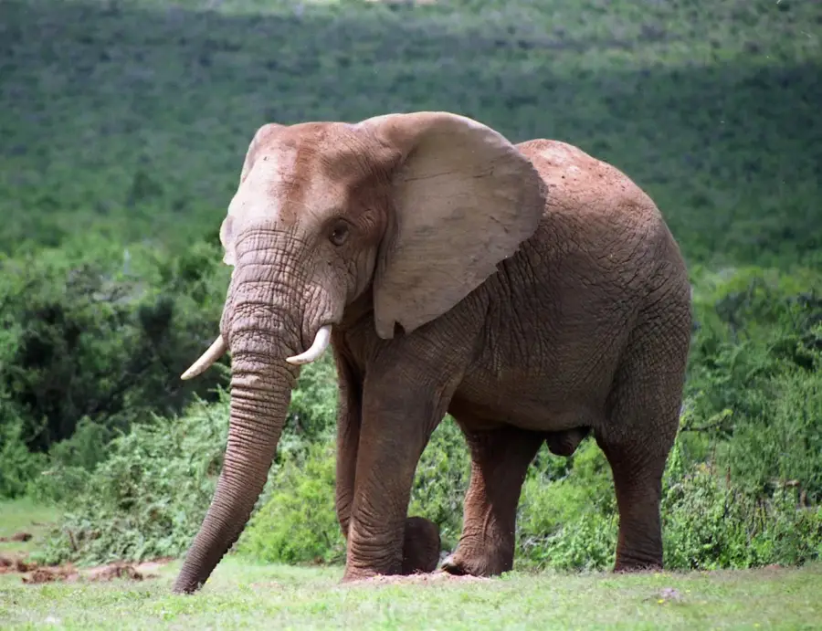
The Baviaanskloof Valley in the Eastern Cape of South Africa is a vast nature reserve and part of the UNESCO World Heritage-listed Cape Floral Region. It stretches for approximately 75 kilometers between the Baviaanskloof and Kouga mountain ranges. The area is distinguished by its extraordinary biological diversity, as it is the meeting point for seven of South Africa's eight biomes, including fynbos, subtropical thicket, and Nama-Karoo. The name Baviaanskloof translates to "Valley of Baboons," referring to the numerous primates that inhabit the region. The geology is characterized by the massive sandstone formations of the Table Mountain Group, which create dramatic canyons and sheer rock faces. Historically, the valley served as a sanctuary for the San people, whose rock paintings document a lengthy history of occupation. Today, the region is of strategic importance as a critical watershed for the Nelson Mandela Bay Metropolitan Area. Tourism is centered on ecologically sustainable activities such as hiking and 4x4 trails through the pristine wilderness.
- Location: South Africa
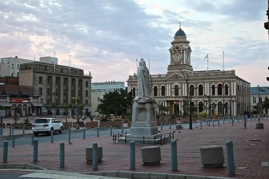
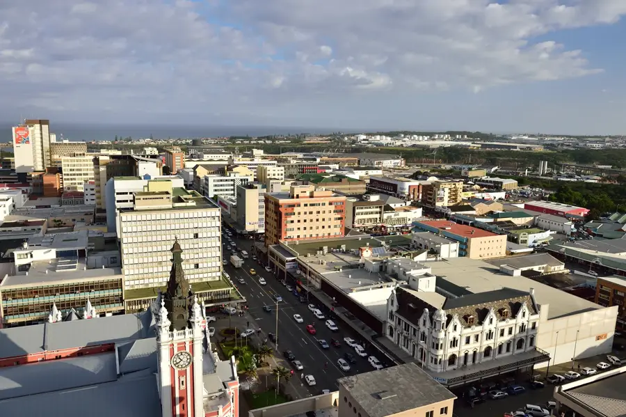
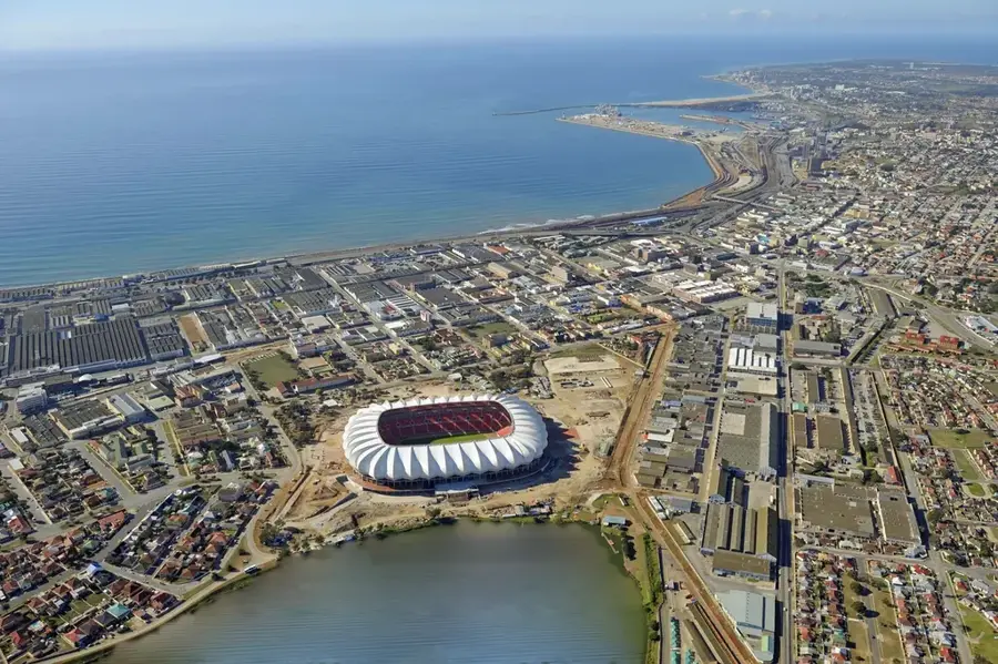
- Nearby: Storms River (53 km)
Best time to visit & climate
The most pleasant time to visit is Jan, Feb, Dec.
| Jan | Feb | Mar | Apr | May | Jun | Jul | Aug | Sep | Oct | Nov | Dec | |
|---|---|---|---|---|---|---|---|---|---|---|---|---|
| Avg °C | 21 | 21 | 19 | 16 | 13 | 10 | 9 | 10 | 13 | 15 | 17 | 19 |
| Rain mm | 49 | 55 | 67 | 47 | 31 | 30 | 32 | 46 | 36 | 54 | 57 | 49 |
📋 Practical info
Geography
Facts
- Baviaanskloof is part of the UNESCO-listed Cape Floral Region.
- The valley extends for approximately 75 kilometers in length.
- It is home to seven of South Africa's eight distinct biomes.
- The name translates to Valley of Baboons in Dutch and Afrikaans.
- The area is a critical watershed for the Nelson Mandela Bay region.
- Ancient San rock art is found in many caves throughout the valley.
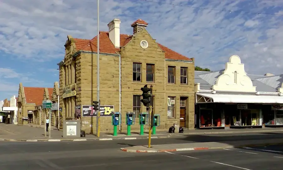
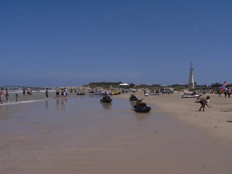
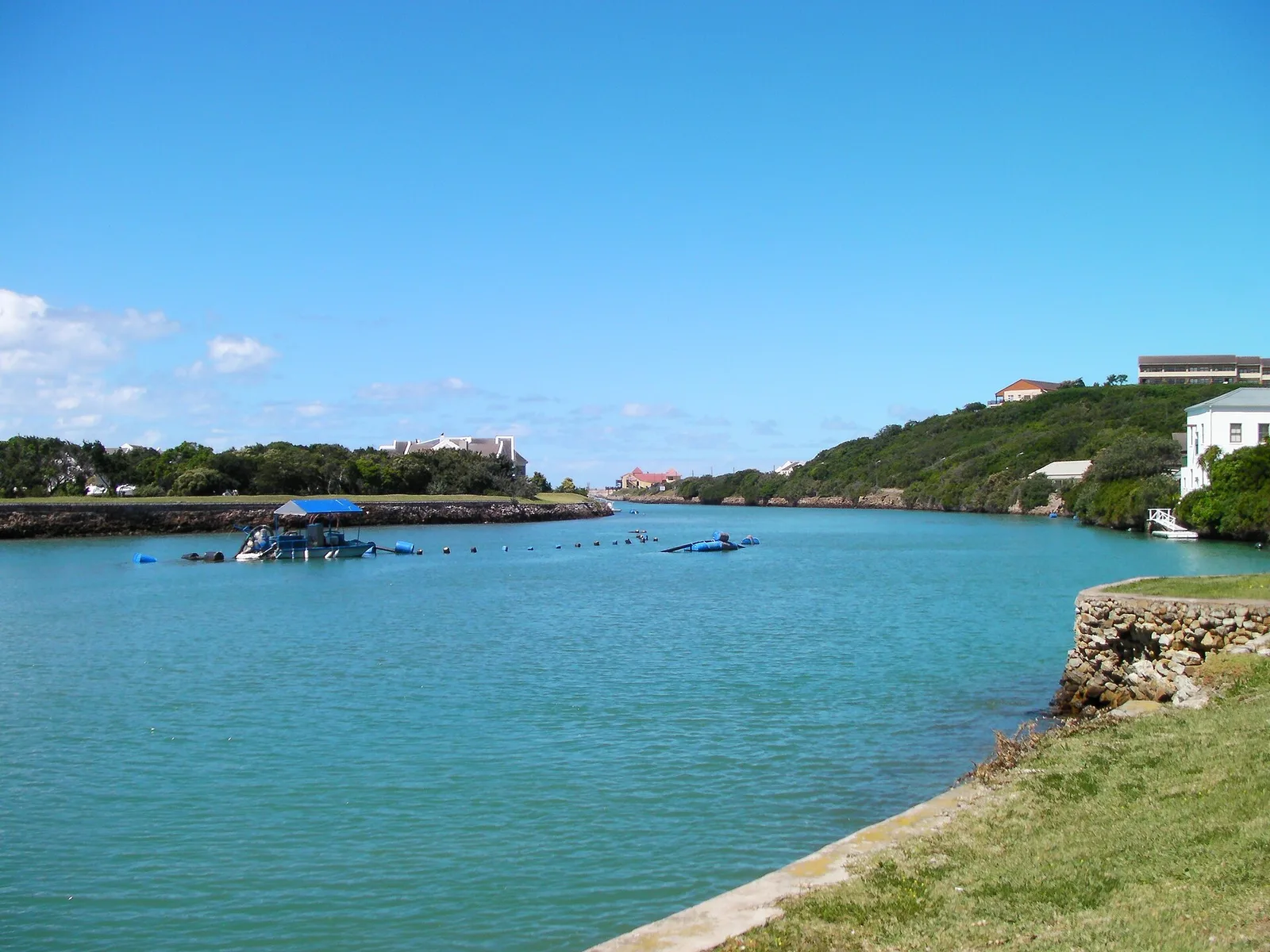
Explore nearby
Notable places around
Route planner — Car & Motorhome
Where do you start? We build the route here, with stops and country notes along the way.
© OpenStreetMap contributors · OpenRouteService
Sights nearby
Frequently asked questions
What is the Baviaanskloof Valley?
How accessible are the roads?
Are there campsites there?
How is the wildlife?
Are permits required?
Baviaanskloof Valley: where is it located?
Baviaanskloof Valley: when is the best time to visit?
Baviaanskloof Valley: why is it worth visiting?

Nearby cities
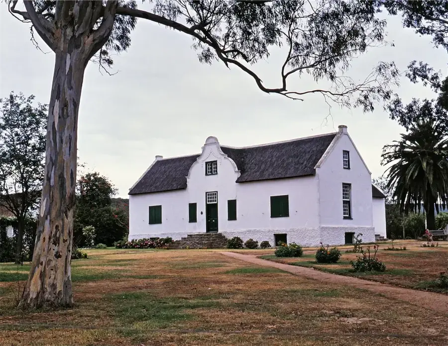

History & landmarks

More places