Plizio Visual Lab
Storms River
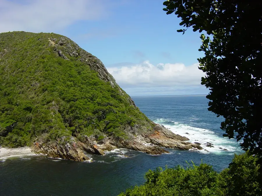
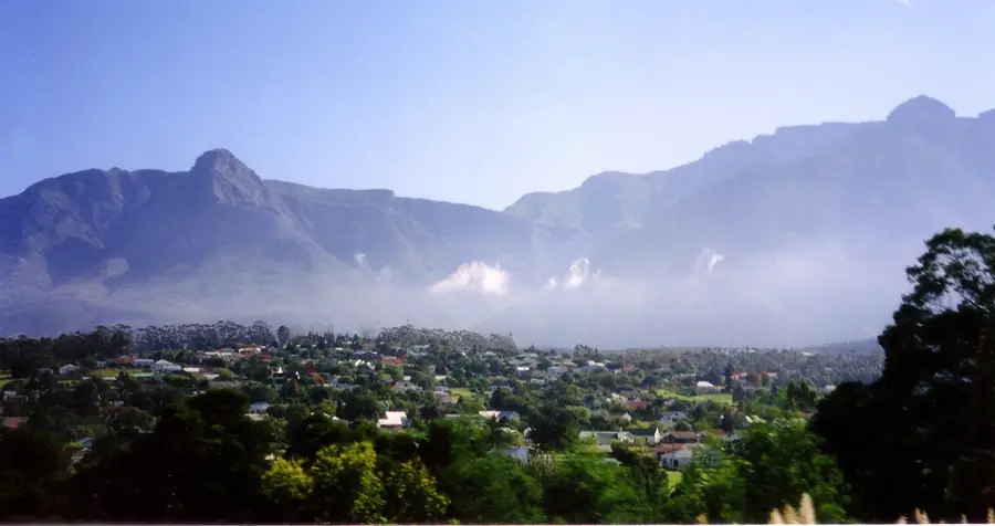
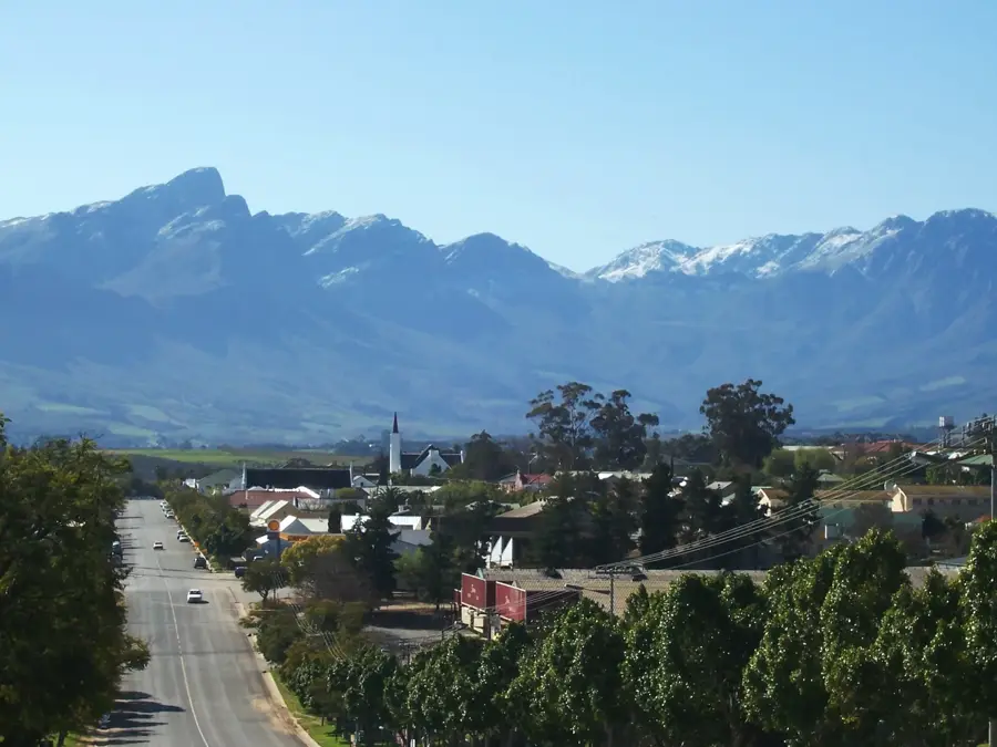
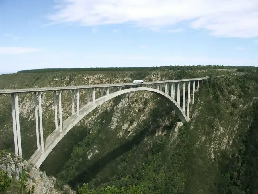
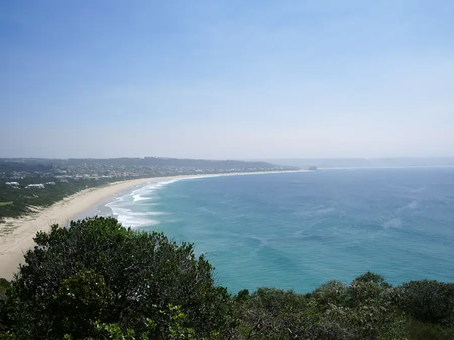
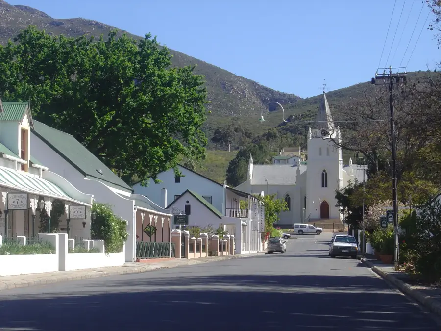
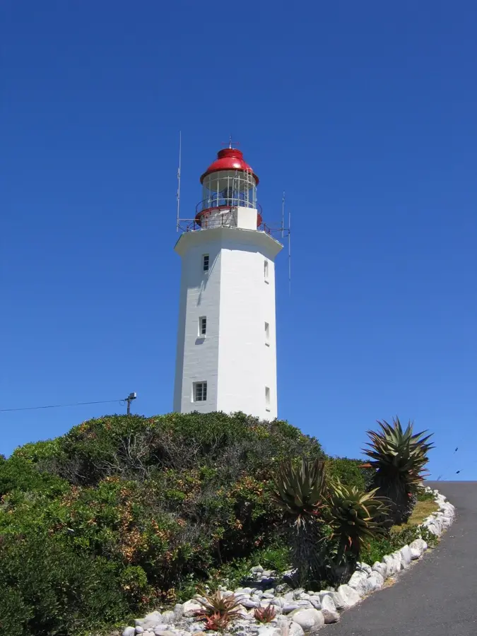
Storms River is the gateway to the Tsitsikamma section of the Garden Route National Park. It is world-famous for its spectacular river mouth, where a 77-meter-long suspension bridge spans the gorge. Here, visitors experience the raw power of the Indian Ocean crashing against steep cliffs. The area is a paradise for outdoor enthusiasts, offering activities such as blackwater tubing, canopy tours, and numerous hiking trails through ancient yellowwood forests. The nearby Big Tree, an 800-year-old giant, is one of the region's top natural attractions. The flora and fauna are exceptionally diverse, ranging from rock pool inhabitants to dolphins frequently spotted in the surf. Gastronomically, the village has cozy cafes and pubs, excellent for winding down after a day of adventure. Storms River Village is located just a few kilometers from the coast along the N2 highway, providing a welcoming, rural atmosphere. The best time to visit is between September and April, when the weather is handy for water sports and hiking. Winter also has its charm, as the mild coastal climate keeps it pleasant while the sea remains dramatic and powerful.
- Location: South Africa
- Top sights: Goesa Forest trail · The Tsitsikamma Big Tree · Big Outeniqua Yellowwood
- Nearby: Nature's Valley (30 km)
- Population: ~2.000 (2024)
Best time to visit & climate
The most pleasant time to visit is Jan, Feb, Dec.
| Jan | Feb | Mar | Apr | May | Jun | Jul | Aug | Sep | Oct | Nov | Dec | |
|---|---|---|---|---|---|---|---|---|---|---|---|---|
| Avg °C | 21 | 21 | 20 | 18 | 16 | 14 | 14 | 14 | 15 | 17 | 18 | 19 |
| Rain mm | 40 | 42 | 58 | 46 | 34 | 37 | 40 | 55 | 41 | 50 | 57 | 40 |
Geography
Facts
- Iconic suspension bridge
- Start of the Otter Trail
- Tsitsikamma National Park
- Blackwater Tubing
- The Big Tree (ancient yellowwood)
- Whale watching (seasonal)
- Coastal hiking trails
- Adventure hub of the region
Explore nearby
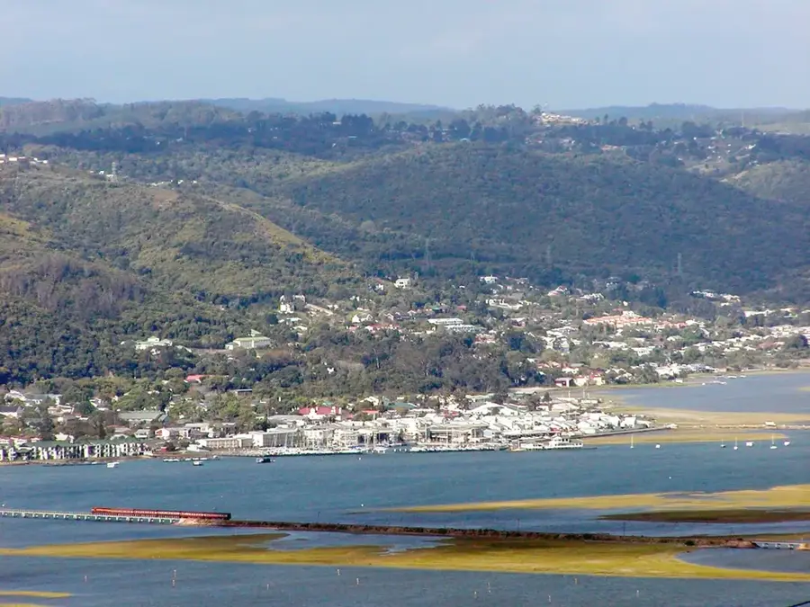
Notable places around
Route planner — Car & Motorhome
Where do you start? We build the route here, with stops and country notes along the way.
© OpenStreetMap contributors · OpenRouteService
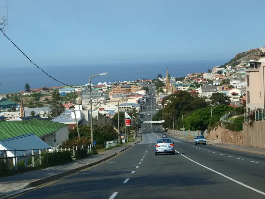
Sights in the town Storms River (4)
Frequently asked questions
Storms River: where is it located?
Storms River: what is there to see?
Storms River: when is the best time to visit?
Storms River: why is it worth visiting?

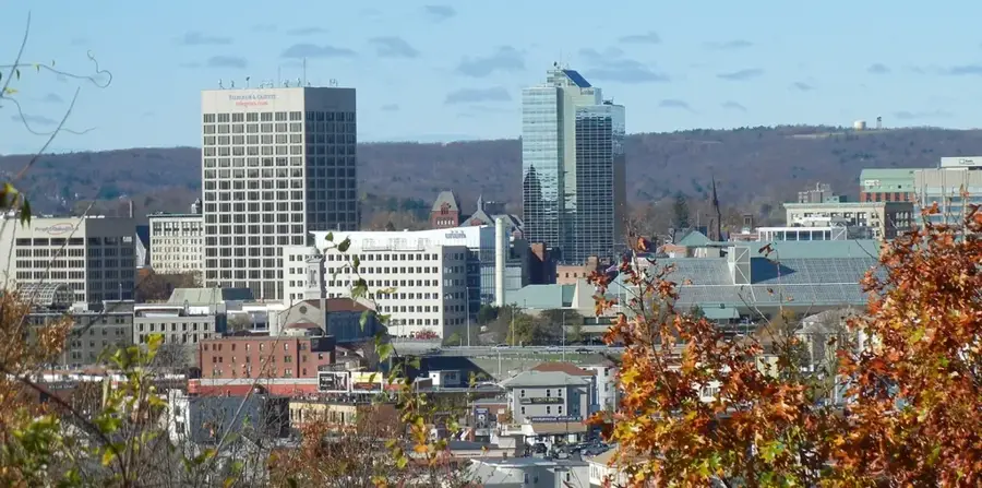
Nearby cities
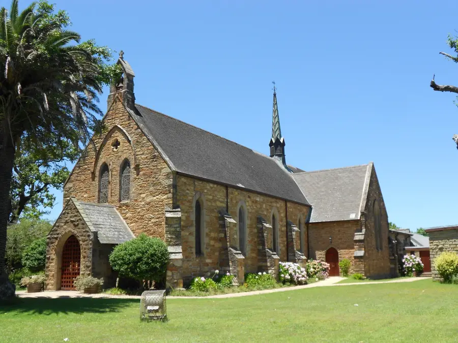


History & landmarks