Plizio Visual Lab
Matjes River Rock Shelter
Weather…
Water temperature…
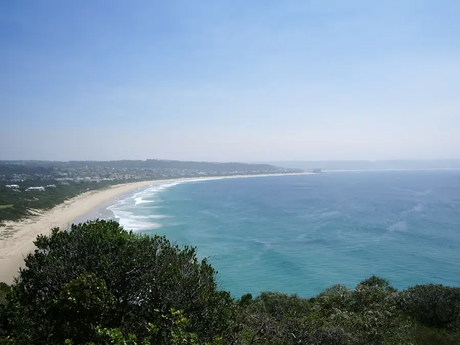
The Matjes River Rock Shelter, located on the coast of Keurboomstrand near Plettenberg Bay, is one of South Africa's most significant Late Stone Age archaeological sites. This massive rock overhang contains shell middens that reach over 10 meters in thickness, documenting continuous occupation by hunter-gatherer societies for more than 11,000 years. Archaeological excavations at the site have uncovered an extraordinarily high number of human burials, providing rare insights into the health, demographics, and funerary practices of ancient coastal populations. Beyond the massive quantities of shells, researchers have recovered sophisticated bone tools, ostrich eggshell beads, and painted stones used for ritual purposes. These artifacts reveal the complex maritime culture and social organization of the ancestors of the modern Khoisan people. The site's direct proximity to the Indian Ocean highlights the vital role that marine resources played in human adaptation and survival in the region. Today, the Matjes River Rock Shelter is a protected heritage site and remains a primary source for regional prehistory.
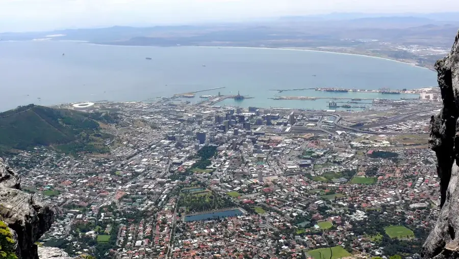
- Location: South Africa
- Top sights: Jukani Wildlife Sanctuary · Arch Rock · Tsitsikamma National Park (Nature Reserve)
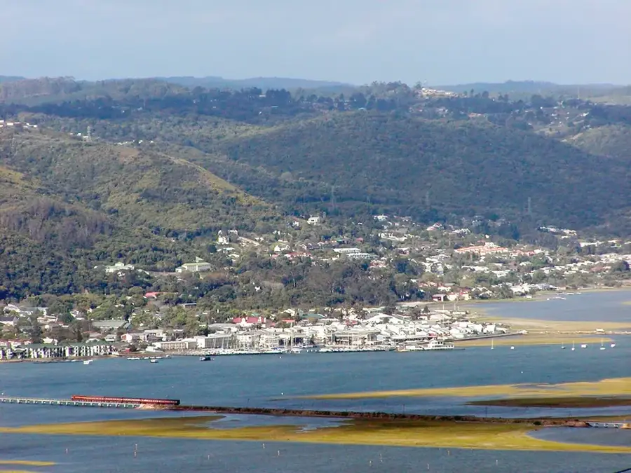
- Nearby: Nature's Valley (9 km)
Best time to visit & climate
The most pleasant time to visit is Jan, Feb, Dec.
| Jan | Feb | Mar | Apr | May | Jun | Jul | Aug | Sep | Oct | Nov | Dec | |
|---|---|---|---|---|---|---|---|---|---|---|---|---|
| Avg °C | 21 | 21 | 20 | 18 | 16 | 14 | 14 | 14 | 15 | 17 | 18 | 19 |
| Rain mm | 40 | 42 | 58 | 46 | 34 | 37 | 40 | 55 | 41 | 50 | 57 | 40 |
📋 Practical info
Geography
Facts
- The archaeological deposits at Matjes River are over 10 meters deep in places.
- More than 3,000 individual human burials have been recorded at the site.
- The oldest occupation layers date back to approximately 9,000 BCE.
- The site was first professionally excavated in 1929 by T.F. Dreyer.
- Researchers found numerous 'painted stones' placed in ancient graves.
- The shelter is now part of the protected Robberg Nature Reserve area.
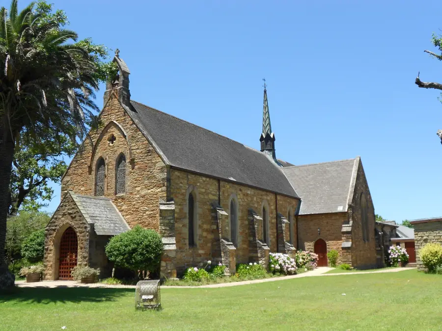
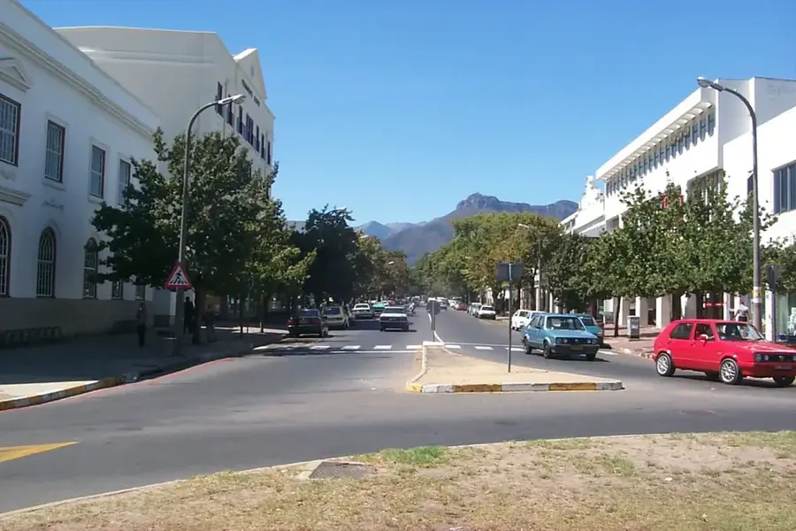
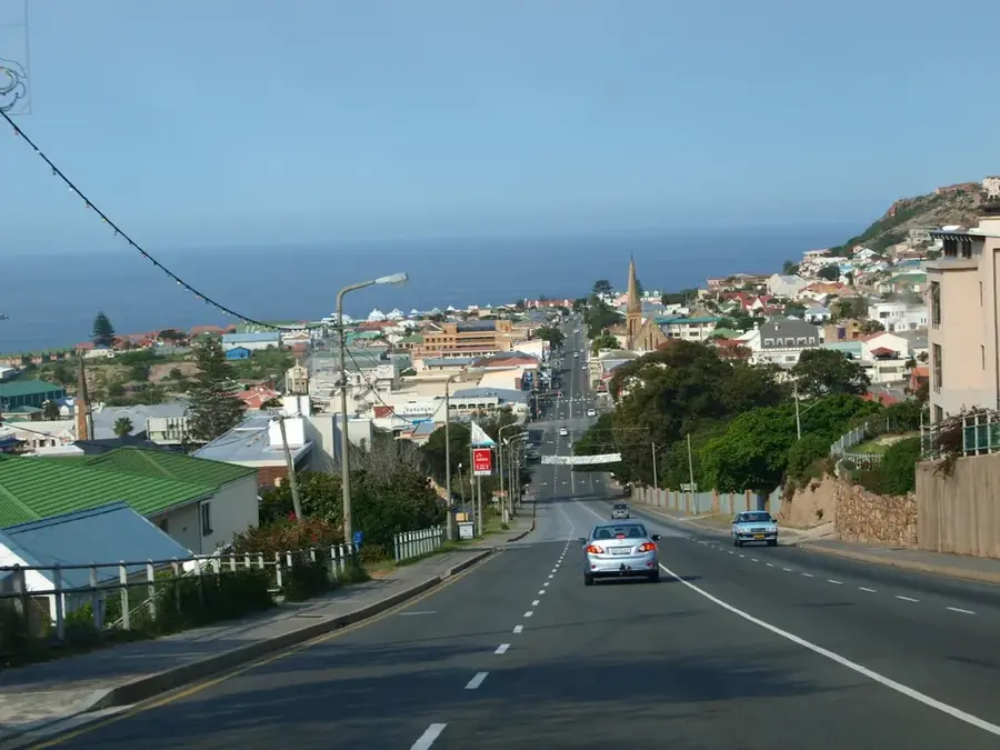
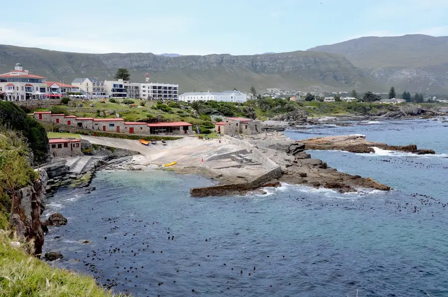
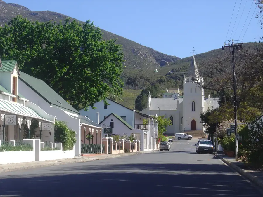
Explore nearby
Notable places around
Route planner — Car & Motorhome
Where do you start? We build the route here, with stops and country notes along the way.
© OpenStreetMap contributors · OpenRouteService
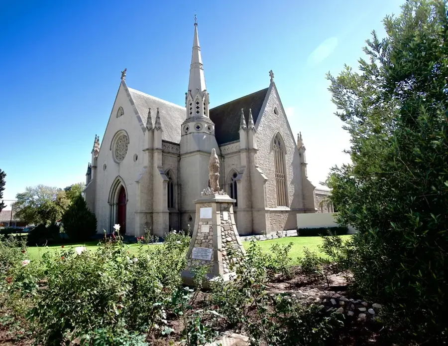
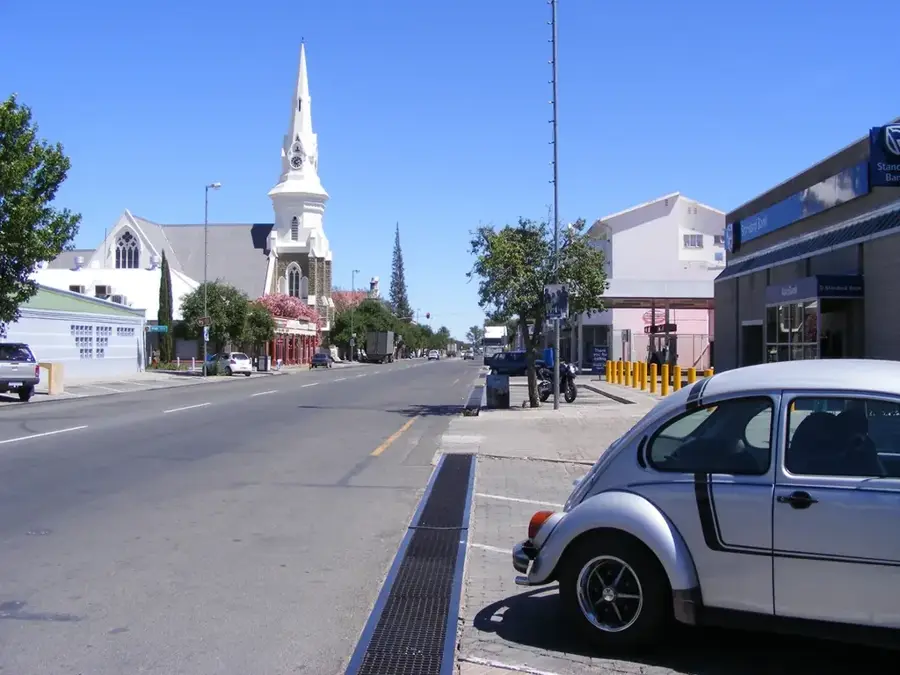
Sights in the town Matjes River Rock Shelter (5)
Sights nearby
Frequently asked questions
What is special about this rock shelter?
How is access regulated?
Are there museums nearby?
Is hiking easy there?
What clothing is recommended?
Matjes River Rock Shelter: where is it located?
Matjes River Rock Shelter: what is there to see?
Matjes River Rock Shelter: when is the best time to visit?
Matjes River Rock Shelter: why is it worth visiting?

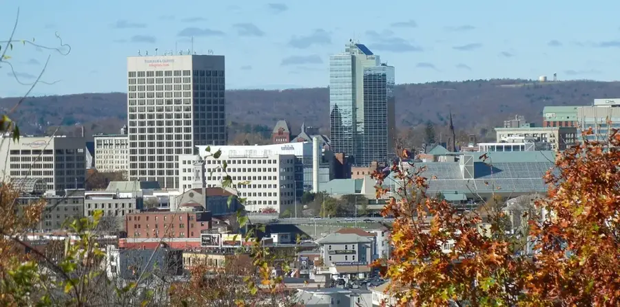
Nearby cities

History & landmarks