Plizio Visual Lab
Kavo Range
Weather…
Water temperature…
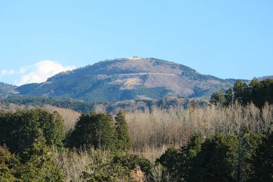
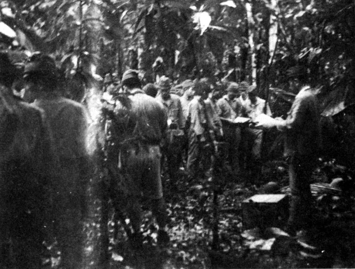
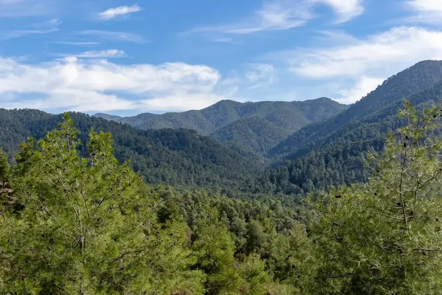
The Kavo Range is the highest and most imposing mountain system in the Solomon Islands, stretching across the central and southern parts of Guadalcanal. This massive mountain range hosts the country's highest peaks, including Mount Popomanaseu at approximately 2,335 meters and Mount Makarakomburu. Geologically, the range was formed through complex uplift processes that combined volcanic rock, limestone, and metamorphic schists. The higher elevations of the Kavo Range are covered by unique montane cloud forests which, due to constant moisture, host an exceptional flora with many epiphytic mosses and orchids. The range functions as the primary drainage divide for Guadalcanal, feeding the major river systems that irrigate the northern plains. Culturally, the Kavo Range is of great significance to indigenous peoples, particularly followers of the Moro movement, who regard the mountains as the sacred center of their traditions. The inaccessibility of the terrain has contributed to much of the range remaining scientifically under-explored, yet it is recognized as a vital biodiversity hotspot.
- Location: Solomon Islands
- Nearby: Tangarahe (15 km)
Best time to visit & climate
The most pleasant time to visit is Jul–Sep.
| Jan | Feb | Mar | Apr | May | Jun | Jul | Aug | Sep | Oct | Nov | Dec | |
|---|---|---|---|---|---|---|---|---|---|---|---|---|
| Avg °C | 27 | 26 | 26 | 26 | 26 | 26 | 26 | 26 | 26 | 26 | 27 | 27 |
| Rain mm | 263 | 305 | 277 | 220 | 214 | 143 | 135 | 114 | 107 | 160 | 167 | 221 |
📋 Practical info
Geography
Facts
- The Kavo Range includes Mount Popomanaseu (2,335 m).
- It is the highest mountain range in the entire island nation.
- The range is composed partly of uplifted coral limestones.
- It contains the only tropical alpine zones in the Solomon Islands.
- The range regulates the weather patterns for the capital, Honiara.
- Annual rainfall in the summit areas can exceed 5,000 mm.
Explore nearby
Notable places around
Route planner — Car & Motorhome
Where do you start? We build the route here, with stops and country notes along the way.
© OpenStreetMap contributors · OpenRouteService
Sights nearby
Frequently asked questions
What is the Kavo Range?
Can you hike extensively here?
Are there mountain huts?
Is the area safe?
What do you need to bring?
Kavo Range: where is it located?
Kavo Range: when is the best time to visit?
Kavo Range: why is it worth visiting?

Nearby cities


History & landmarks

Nature
More places