Plizio Visual Lab
Tangarahe

ℹ️Practical info — Tangarahe
▾
🌤 Weather — 5 days
📍 Nearby
Sights nearby
💡 Tips
- Weather Coast access is difficult; flights or rough boat rides are required, so plan for delays.
- Bring cash, as there are no ATMs or card facilities in the village.
- Expect heavy rainfall, as the name 'Weather Coast' implies; waterproof gear is essential.
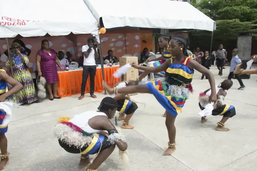
- Respect local customs (kastom); ask the village chief for permission before exploring or taking photos.
🍽 Food
Locally grown staples, usually boiled or baked in a motu (traditional oven).
Caught daily from the ocean, often roasted over an open fire.
Coconut milk is freshly pressed and used to flavor almost every meal.
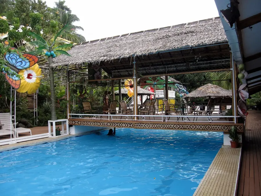
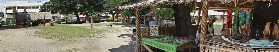
🛍 Shopping · 🧘 Quiet spots
Handmade by villagers, often depicting local spirits or marine life.
Durable and practical bags woven from dried pandanus leaves.
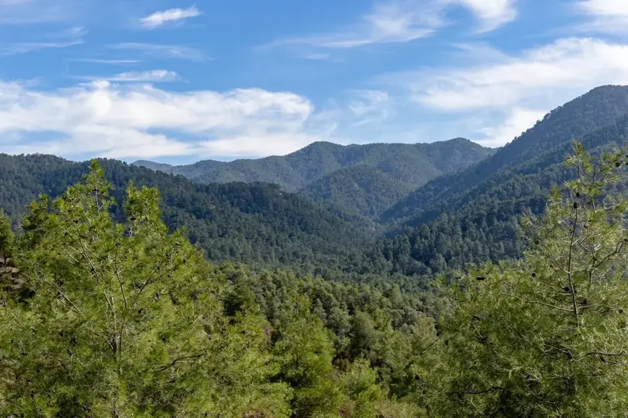
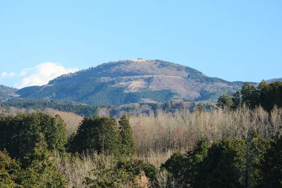
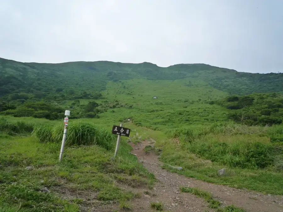
Walk inland to find dramatic ridges overlooking the vast ocean.
The volcanic coast has secluded stretches of dramatic black sand.
Water temperature…
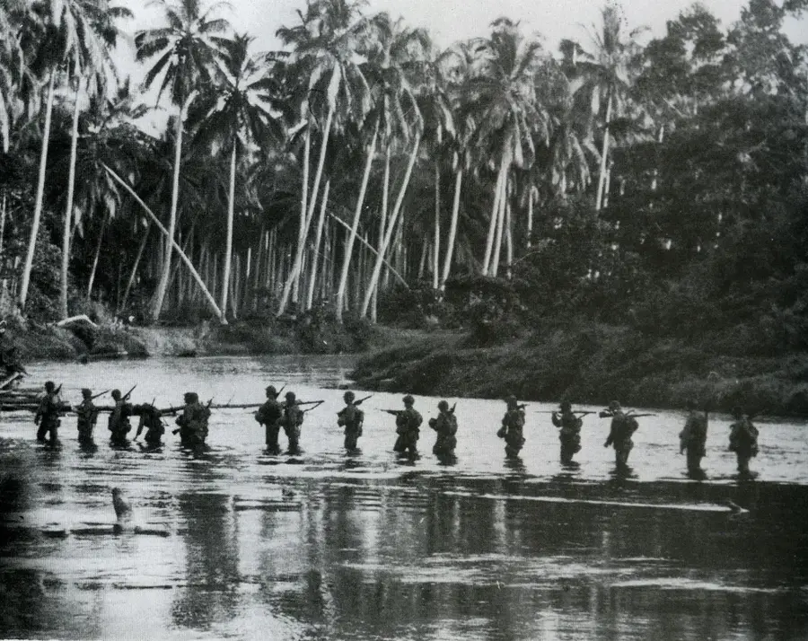
Tangarahe is situated on the rugged southern coast of Guadalcanal Island in the Solomon Islands, an area frequently referred to as the 'Weather Coast.' This geographical positioning results in exceptionally high rainfall and a challenging mountainous terrain that isolates the settlement from the capital, Honiara. Historically, Tangarahe's isolation allowed for the preservation of distinct cultural traditions and dialects that differ from those on the northern plains. The residents primarily engage in subsistence farming and small-scale cocoa production, which serves as the main source of income. During World War II, while the northern part of the island saw intense fighting, the south remained a sanctuary for many indigenous people fleeing the conflict. Infrastructure development remains limited, with the community relying on coastal shipping and footpaths for movement across the difficult landscape.
- Location: Solomon Islands
- Nearby: Tenaru Falls (5 km)
Best time to visit & climate
The most pleasant time to visit is Jul–Sep.
| Jan | Feb | Mar | Apr | May | Jun | Jul | Aug | Sep | Oct | Nov | Dec | |
|---|---|---|---|---|---|---|---|---|---|---|---|---|
| Avg °C | 27 | 26 | 26 | 26 | 26 | 26 | 26 | 26 | 26 | 26 | 27 | 27 |
| Rain mm | 263 | 305 | 277 | 220 | 214 | 143 | 135 | 114 | 107 | 160 | 167 | 221 |
Geography
Facts
- Located on the high-rainfall southern coast of Guadalcanal.
- Part of the geographically isolated Weather Coast region.
- Small-holder cocoa production is the primary cash crop.
- No direct road connection exists to the capital, Honiara.
- Isolation has helped preserve unique indigenous customs.
- Main access is via coastal vessels or long trekking routes.
Explore nearby
Notable places around
Route planner — Car & Motorhome
Where do you start? We build the route here, with stops and country notes along the way.
© OpenStreetMap contributors · OpenRouteService
Frequently asked questions
How long to stay in Tangarahe?
Best time?
Getting to Tangarahe?
Local food?
Is it family-friendly?
Tangarahe: where is it located?
Tangarahe: when is the best time to visit?
Tangarahe: why is it worth visiting?

Nearby cities


History & landmarks


Nature
More places