Plizio Visual Lab
Mount Makarakomburu

Weather…
Water temperature…
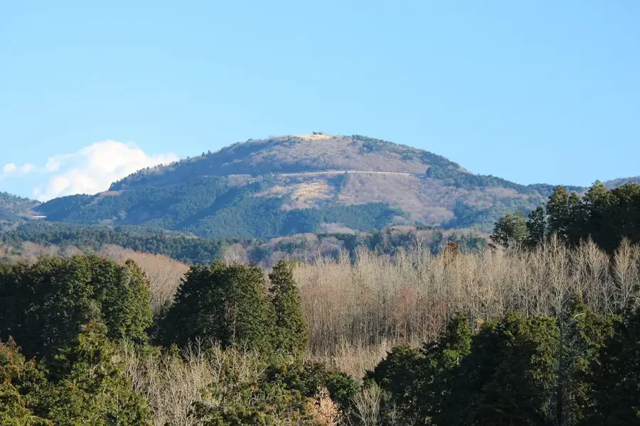
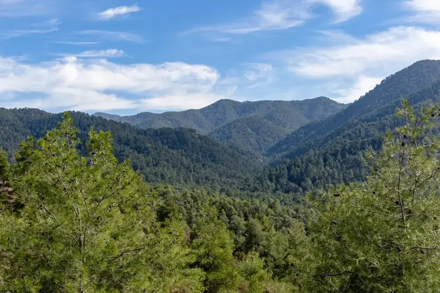
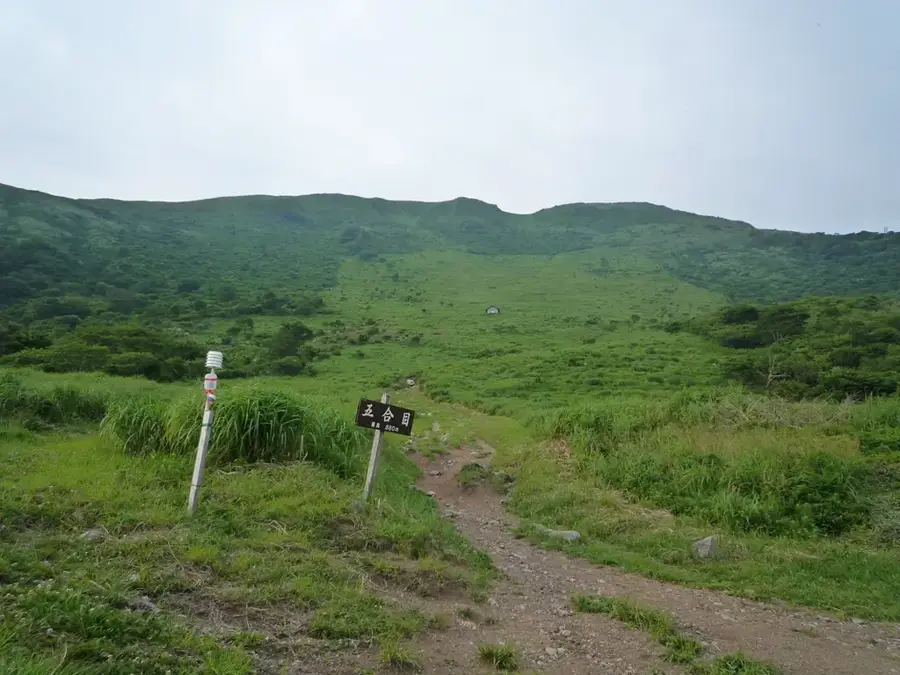
Mount Makarakomburu stands as the second-highest peak in the Solomon Islands, situated deep within the rugged mountainous interior of Guadalcanal. At an elevation of approximately 2,310 meters, it rivals its neighbor, Mount Popomanaseu, in both height and prominence. The surrounding landscape is characterized by pristine tropical primary forests and unique alpine grasslands found only at the highest elevations. Due to the extreme verticality of its slopes and impenetrable undergrowth, the region is recognized as one of the most challenging areas in the country for biological exploration. The mountain is scientifically significant for studying vertical biodiversity, as its ecological zones transition rapidly with increasing altitude. Serving as a major watershed for Guadalcanal, it feeds numerous rivers vital to the agricultural output of the coastal plains. Reaching the summit requires multi-day treks through treacherous terrain and is typically only attempted by specialized scientific expeditions.
- Location: Solomon Islands
- Nearby: Tenaru Falls (4 km)
Best time to visit & climate
The most pleasant time to visit is Jul–Sep.
| Jan | Feb | Mar | Apr | May | Jun | Jul | Aug | Sep | Oct | Nov | Dec | |
|---|---|---|---|---|---|---|---|---|---|---|---|---|
| Avg °C | 27 | 26 | 26 | 26 | 26 | 26 | 26 | 26 | 26 | 26 | 27 | 27 |
| Rain mm | 263 | 305 | 277 | 220 | 214 | 143 | 135 | 114 | 107 | 160 | 167 | 221 |
📋 Practical info
Geography
Facts
- The official elevation of Mount Makarakomburu is established at 2,310 meters.
- The mountain is located just a few kilometers south of Mount Popomanaseu.
- It forms a core part of the central mountain range of Guadalcanal.
- The local flora includes several species of rare montane mosses and tree ferns.
- The topography is defined by sharp ridgelines and extremely deep ravines.
- The area receives some of the highest annual rainfall levels in the entire archipelago.
Explore nearby
Notable places around
Route planner — Car & Motorhome
Where do you start? We build the route here, with stops and country notes along the way.
© OpenStreetMap contributors · OpenRouteService
Sights nearby
Frequently asked questions
Is Mount Makarakomburu the highest mountain?
Is the climb possible for tourists?
Is there a trail system there?
How should equipment be chosen?
Is there accommodation nearby?
Mount Makarakomburu: where is it located?
Mount Makarakomburu: when is the best time to visit?
Mount Makarakomburu: why is it worth visiting?

Nearby cities


History & landmarks


Nature
More places