Plizio Visual Lab
Nanos
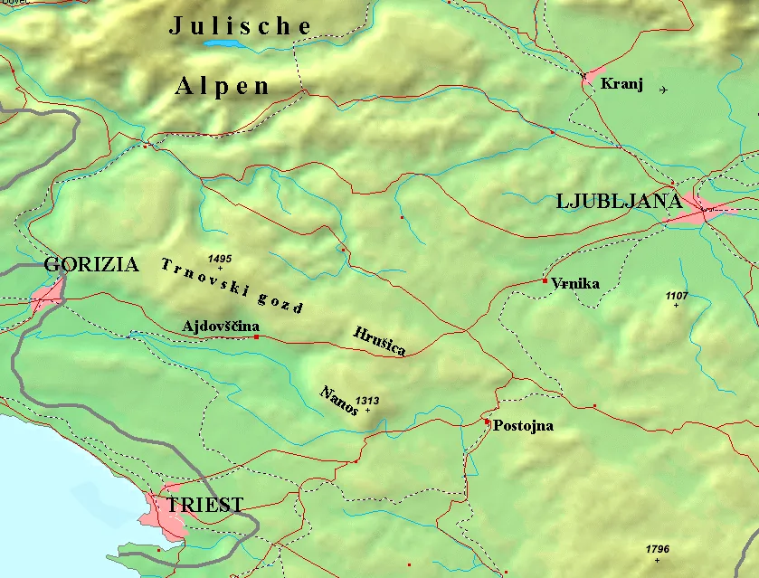
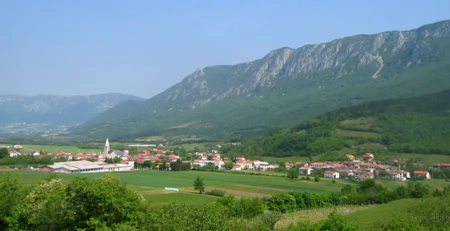
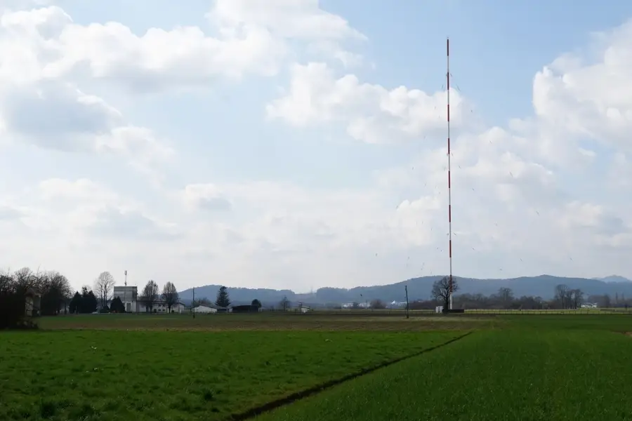
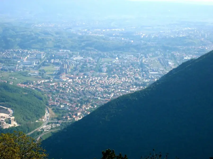
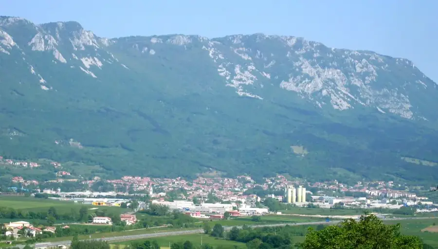
Nanos is a prominent karst plateau that serves as a boundary between the Slovenian interior and the coastal region (Primorska). Its steep, kilometer-long cliff face towers over the Vipava Valley and is an unmistakable landmark for travelers on the highway toward the Adriatic. The highest point of the massif is Suhi vrh at 1313 meters, though most visitors head to the slightly lower Pleša summit (1262 m), home to a well-known radio transmitter and a mountain lodge. Due to its exposed position, Nanos is notorious for the powerful Burja (Bora) wind, which can reach speeds exceeding 100 km/h. The vegetation is a fascinating mix of alpine flora and Mediterranean influences on the southern slopes. Historically, Nanos was a site of resistance during World War II, a fact commemorated by monuments on the plateau. Hiking trails from Razdrto ascend steeply, rewarding climbers with views that can extend as far as Venice on clear days.
- Location: Slovenia
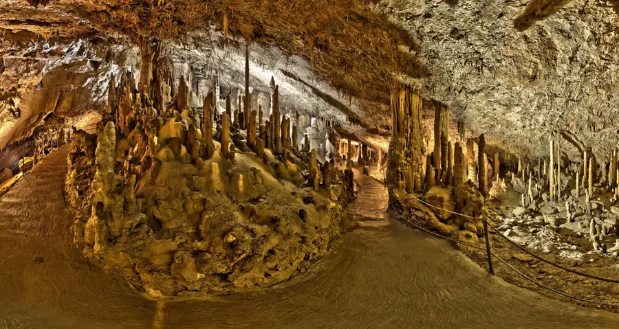
- Top sights: Suhi vrh · Pleša · Nanoško okno (Votla stena)
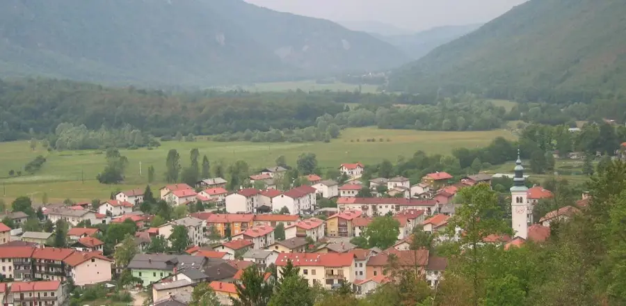
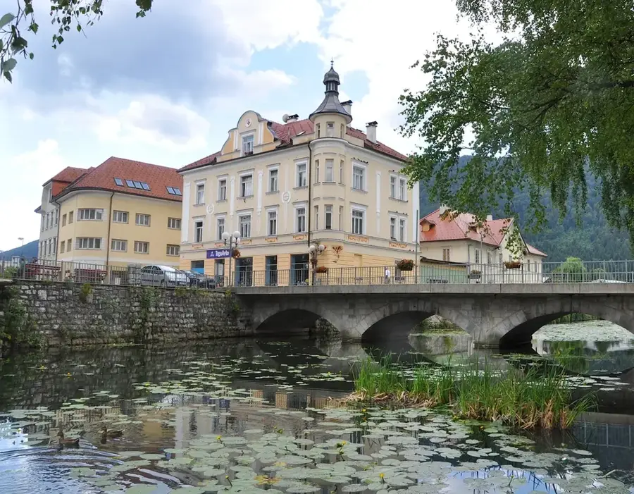
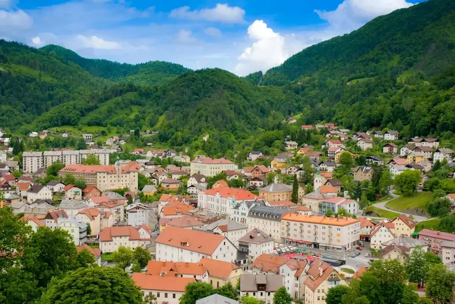
- Nearby: Ajdovščina (17 km)
Best time to visit & climate
The most pleasant time to visit is Jun–Aug.
| Jan | Feb | Mar | Apr | May | Jun | Jul | Aug | Sep | Oct | Nov | Dec | |
|---|---|---|---|---|---|---|---|---|---|---|---|---|
| Avg °C | 0 | 1 | 5 | 10 | 14 | 19 | 21 | 21 | 16 | 11 | 6 | 1 |
| Rain mm | 65 | 76 | 77 | 75 | 96 | 86 | 81 | 95 | 116 | 111 | 121 | 96 |
📋 Practical info
Geography
Facts
- Suhi vrh is the highest peak of the Nanos massif at 1313 meters.
- The transmission tower on Pleša summit stands 60 meters tall.
- The 'Burja' (Bora) wind on Nanos often reaches hurricane speeds.
- The 'Vojkova koča' mountain lodge was opened in 1949.
- Nanos is designated as a protected Landscape Park (Krajinski park).
- The plateau is primarily composed of Cretaceous limestone.
Explore nearby
Notable places around
Route planner — Car & Motorhome
Where do you start? We build the route here, with stops and country notes along the way.
© OpenStreetMap contributors · OpenRouteService
Sights in the town Nanos (5)
Sights nearby
Frequently asked questions
Where does the hike to Nanos start from?
How can you recognize the summit from a distance?
Is it very windy there?
Is there a hut on Nanos?
What can you see from the summit?
Nanos: where is it located?
Nanos: what is there to see?
Nanos: when is the best time to visit?
Nanos: why is it worth visiting?

Nearby cities


History & landmarks