Plizio Visual Lab
Gorjanci
Weather…
Water temperature…
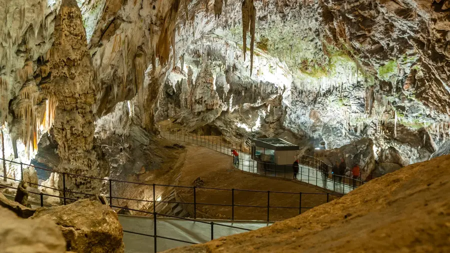
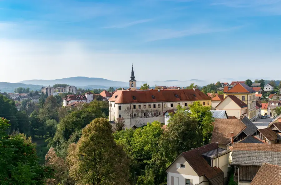
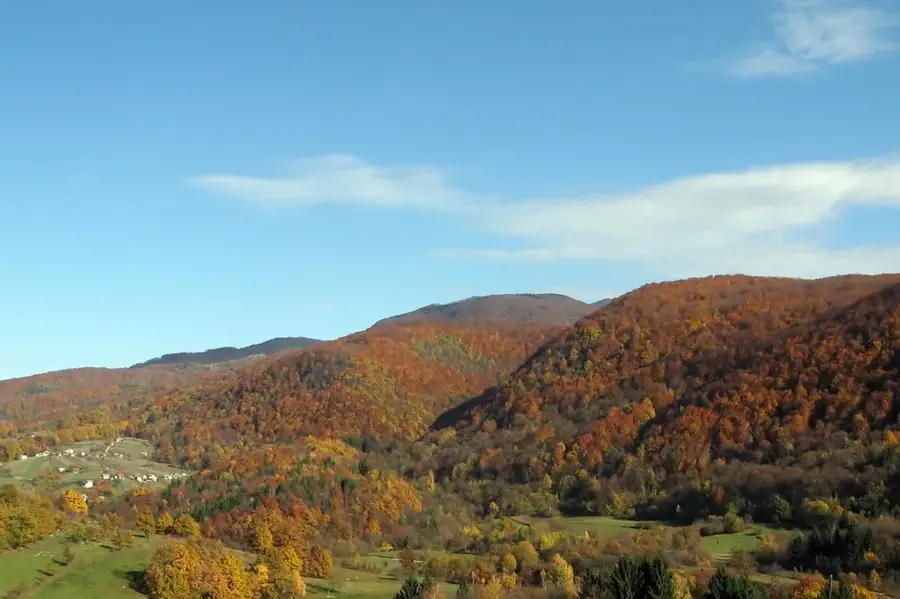
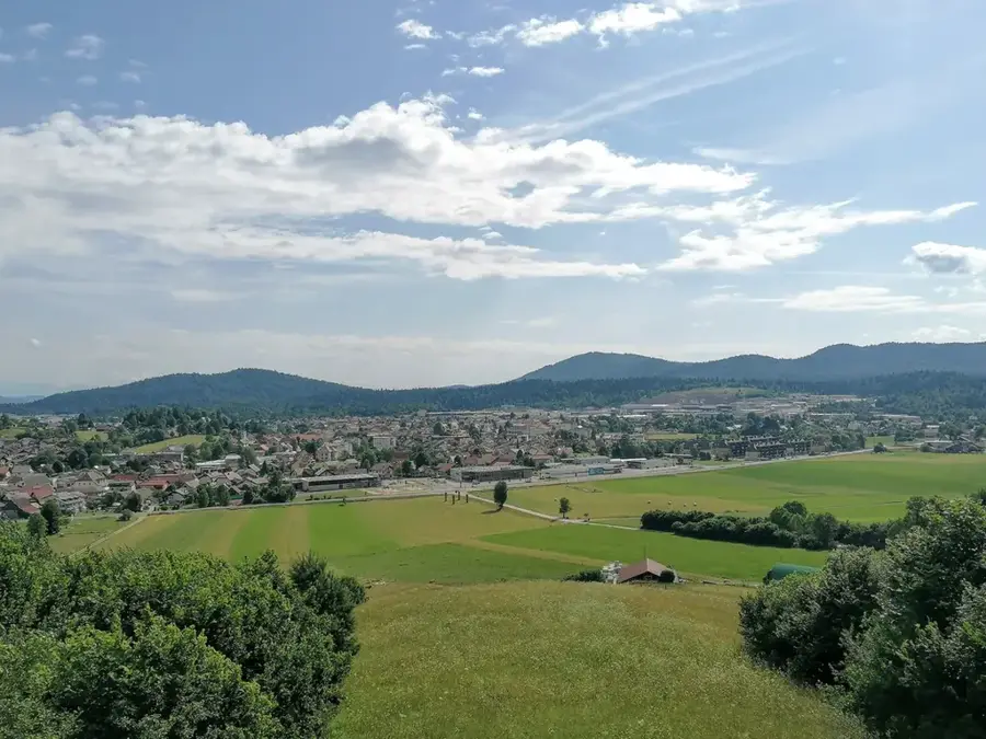
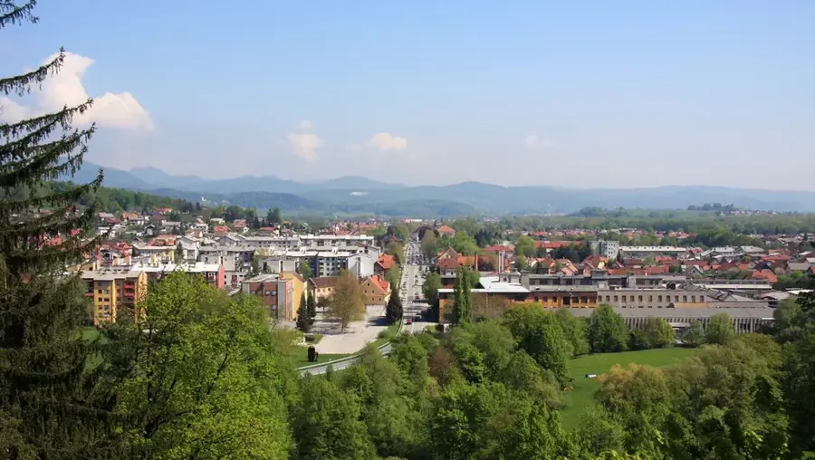
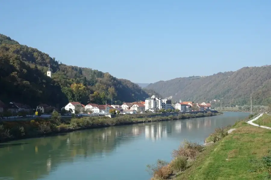
The Gorjanci mountain range, known as Žumberak in Croatia, stretches along Slovenia's southeastern border and forms a significant part of the Dinaric Alps. Its highest peak on the Slovenian side is Trdinov vrh, standing at 1,178 meters and hosting prominent telecommunication towers and historical chapel ruins. The region is characterized by dense beech forests and numerous freshwater springs, with the Gospodična spring being the most famous due to local legends claiming its waters have rejuvenating powers. Geologically, the range consists of a mix of limestone and dolomite, which has facilitated the formation of small caves and karst springs. The area is ecologically vital, being part of a cross-border natural park that serves as a habitat for rare species such as the lynx. Historically, the region served as a refuge for the Uskoks, whose influence remains visible in local architecture and traditions. Its rolling slopes are popular for hiking and offer scenic views of the Krka River valley.
- Location: Slovenia
- Top sights: Pragozd Gorjanci · Zapuščina naših dedov · Gozdni rezervat Kobile
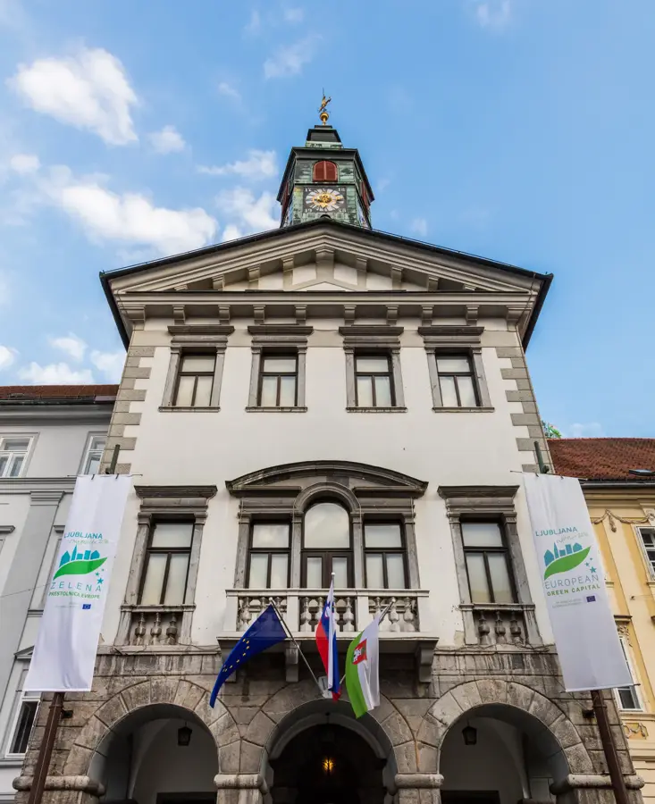
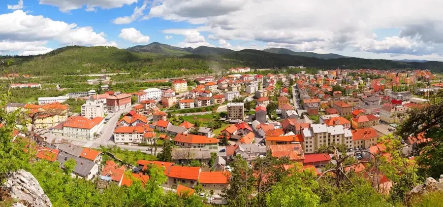
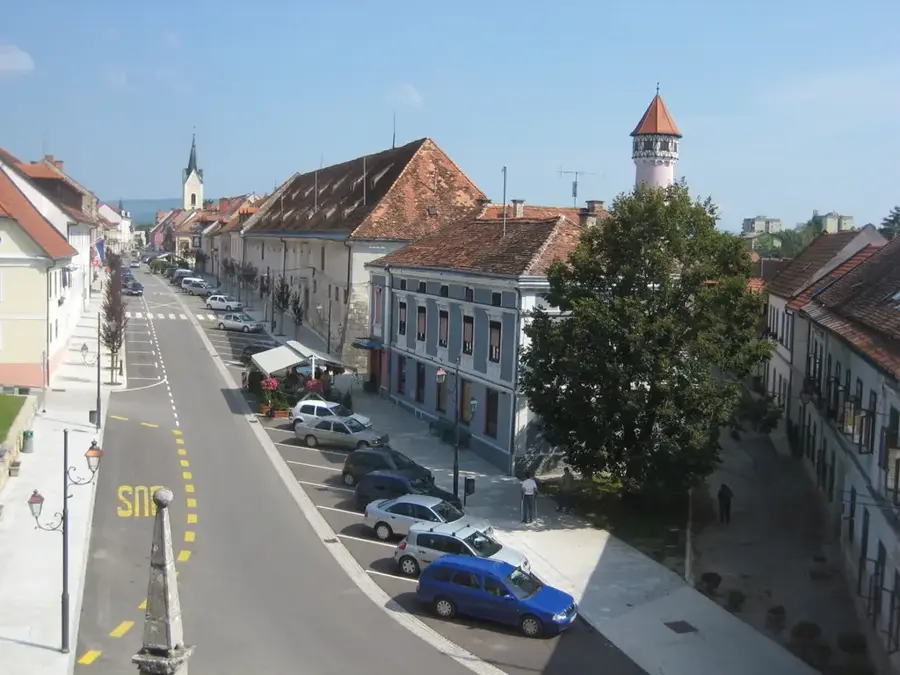
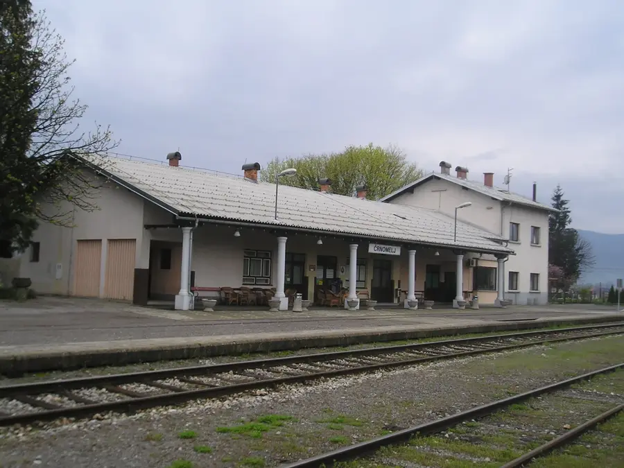
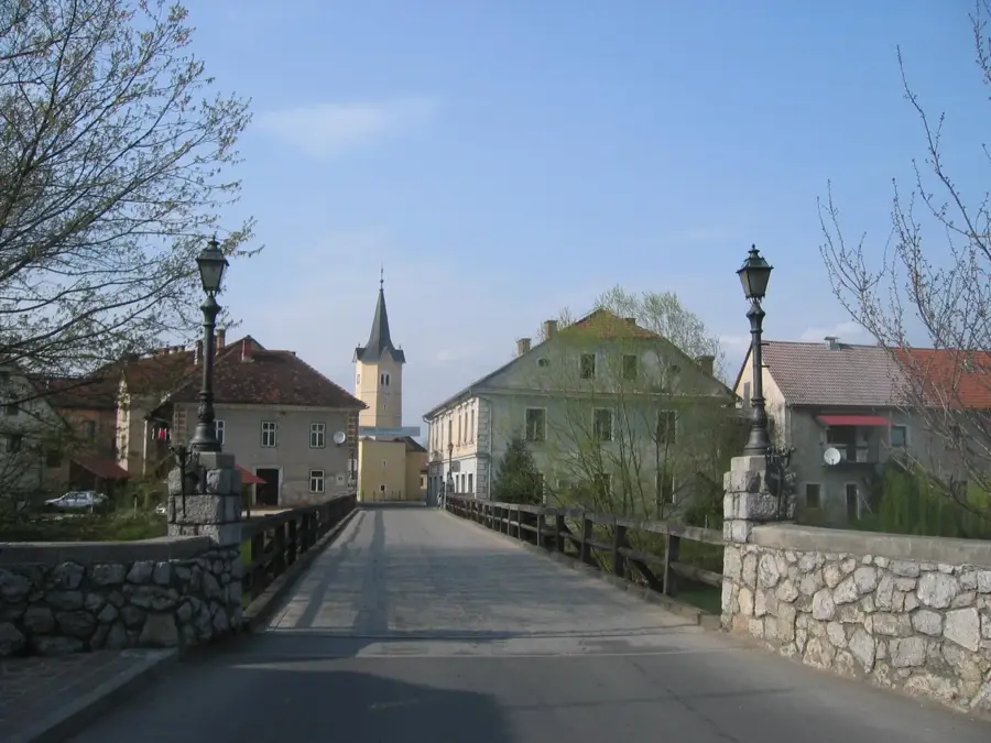
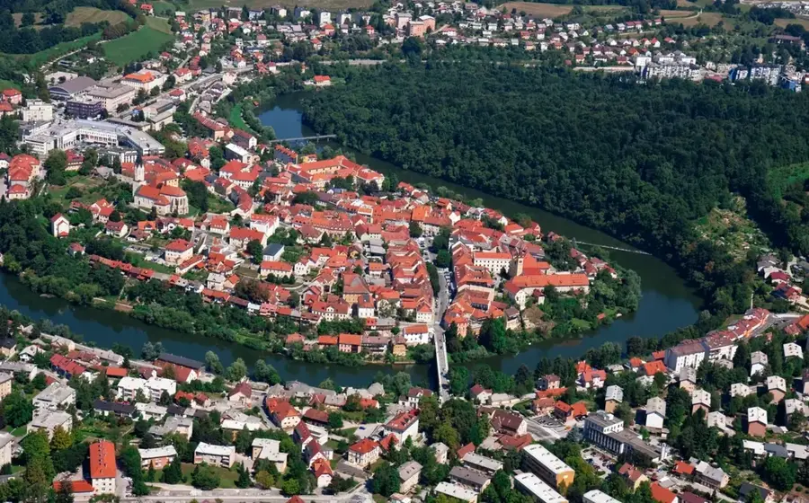
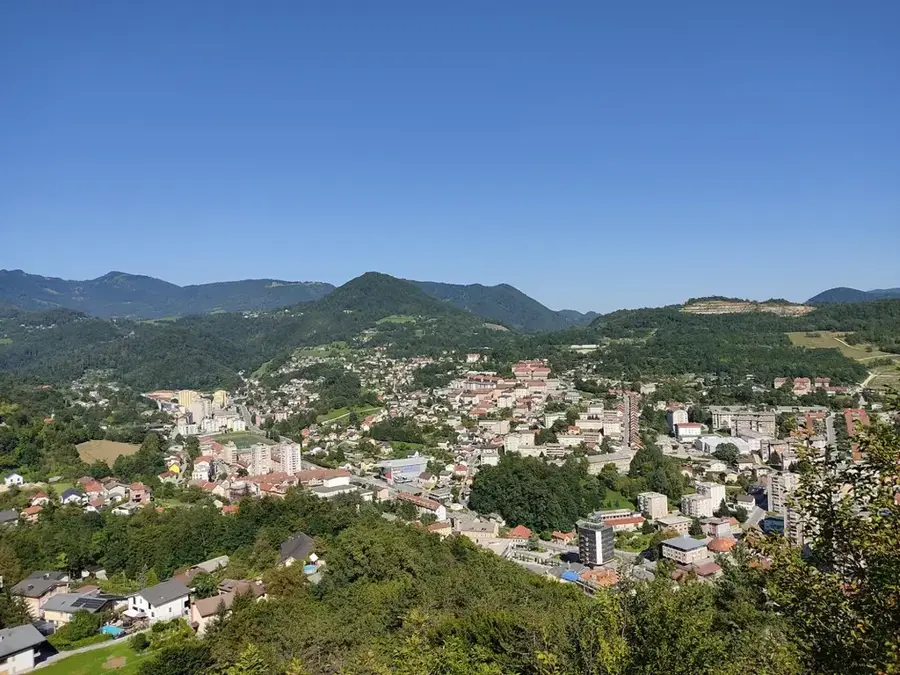
- Nearby: Novo Mesto (13 km)
Best time to visit & climate
The most pleasant time to visit is Jun–Aug.
| Jan | Feb | Mar | Apr | May | Jun | Jul | Aug | Sep | Oct | Nov | Dec | |
|---|---|---|---|---|---|---|---|---|---|---|---|---|
| Avg °C | -1 | 0 | 5 | 10 | 15 | 20 | 22 | 22 | 16 | 11 | 5 | 0 |
| Rain mm | 56 | 68 | 64 | 73 | 100 | 92 | 89 | 94 | 119 | 93 | 92 | 70 |
📋 Practical info
Geography
Facts
- The highest point is Trdinov vrh at 1,178 meters
- The range is known as Žumberak in Croatia
- Gospodična spring is famous for its mythical healing powers
- Dense beech forests dominate the mountain landscape
- The area is a recognized habitat for the Eurasian lynx
- The mountains are part of the Dinaric Alps system
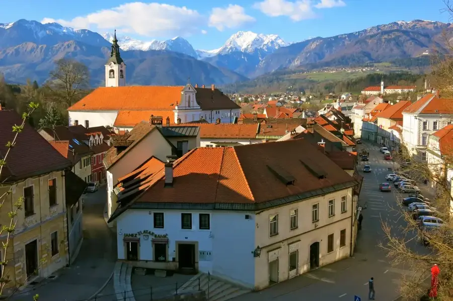
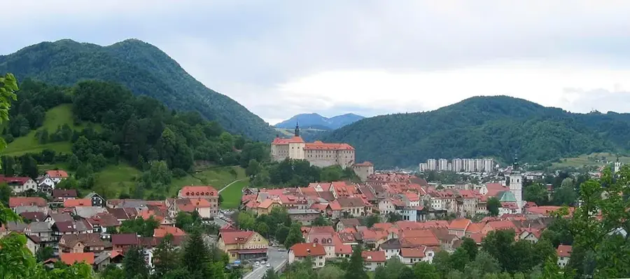
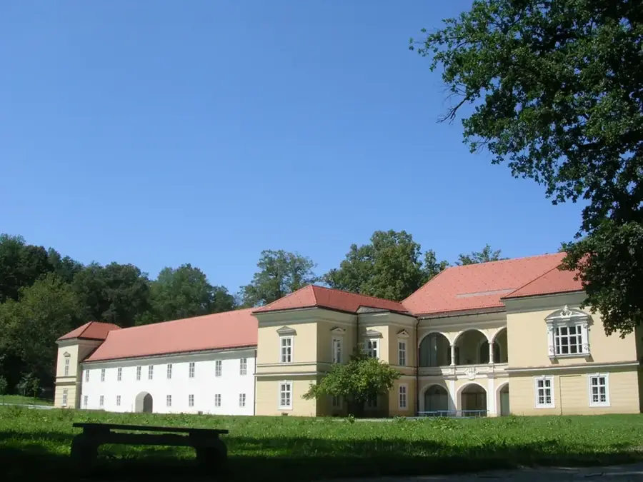
Explore nearby
Notable places around
Route planner — Car & Motorhome
Where do you start? We build the route here, with stops and country notes along the way.
© OpenStreetMap contributors · OpenRouteService
Sights in the town Gorjanci (6)
Sights nearby
Frequently asked questions
Where are the Gorjanci mountains located?
What is the highest point?
What legends are associated with these mountains?
Are there beech forests there?
Is it good for hiking?
Gorjanci: where is it located?
Gorjanci: what is there to see?
Gorjanci: when is the best time to visit?
Gorjanci: why is it worth visiting?

Nearby cities

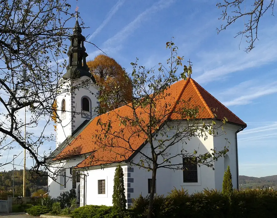
History & landmarks