Plizio Visual Lab
Kriváň
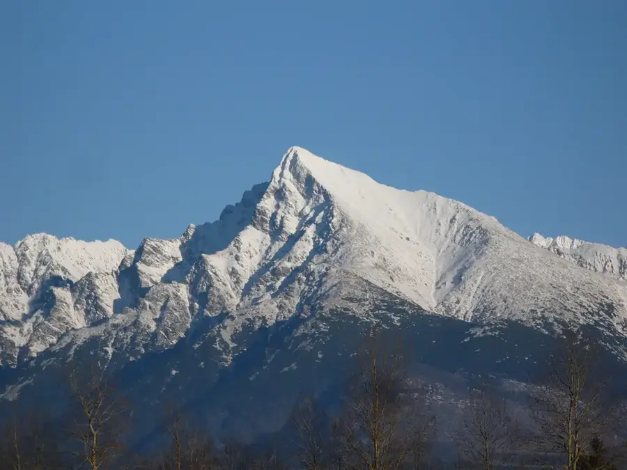
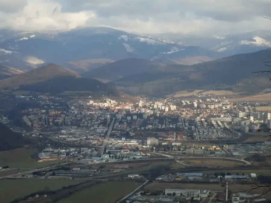
Standing proudly at an elevation of 2494 meters in the western expanse of the High Tatras, Kriváň is instantly recognizable by its striking asymmetrical, westward-curving summit, making it the most iconic and revered mountain in Slovakia. This majestic peak has transcended its physical geography to become the ultimate national symbol, a status cemented by its depiction on the Slovak 1, 2, and 5-cent euro coins and its frequent appearance in national folklore and poetry. The mountain became intrinsically linked to Slovak national identity during the 19th-century national awakening, popularized by patriotic intellectuals who organized symbolic ascents to foster a sense of unity and cultural pride. This powerful legacy continues today through the annual 'National Ascents of Kriváň' held every August, drawing hundreds of enthusiastic hikers from across the country. As one of the highest peaks in the Tatras accessible via marked trails without the requirement of a professional mountain guide, it remains a challenging yet highly rewarding objective for experienced trekkers.
- Location: Slovakia
- Top sights: Kriváň · Predné Solisko · Štrbské Solisko
- Nearby: Štrbské Pleso (6 km)
Best time to visit & climate
The most pleasant time to visit is Jun–Aug.
| Jan | Feb | Mar | Apr | May | Jun | Jul | Aug | Sep | Oct | Nov | Dec | |
|---|---|---|---|---|---|---|---|---|---|---|---|---|
| Avg °C | -7 | -6 | -2 | 5 | 10 | 13 | 15 | 15 | 10 | 5 | 0 | -5 |
| Rain mm | 66 | 64 | 69 | 69 | 119 | 127 | 139 | 102 | 89 | 78 | 71 | 65 |
📋 Practical info
Geography
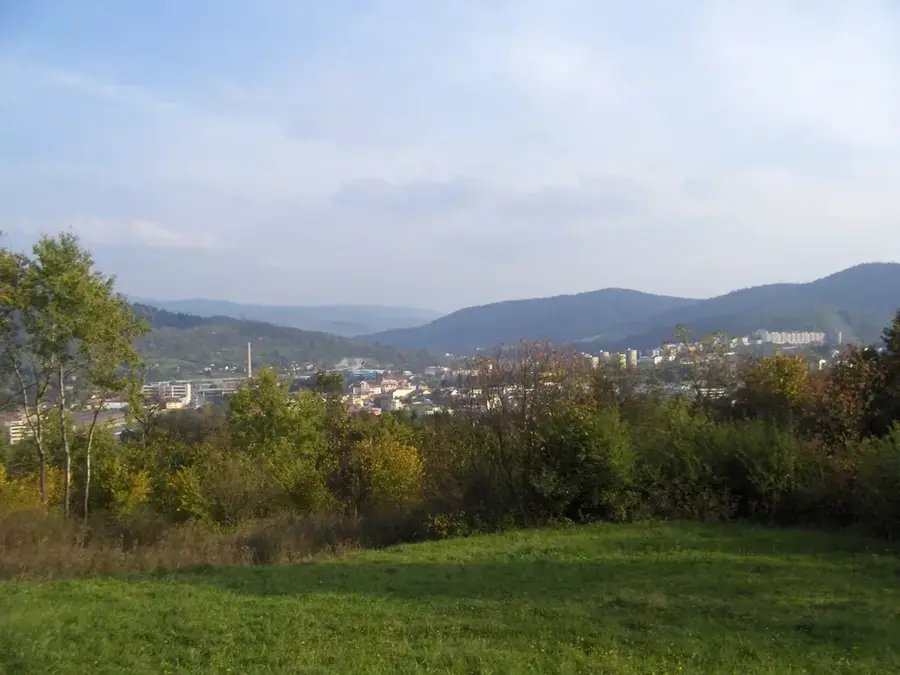
Explore nearby
Notable places around
Route planner — Car & Motorhome
Where do you start? We build the route here, with stops and country notes along the way.
© OpenStreetMap contributors · OpenRouteService
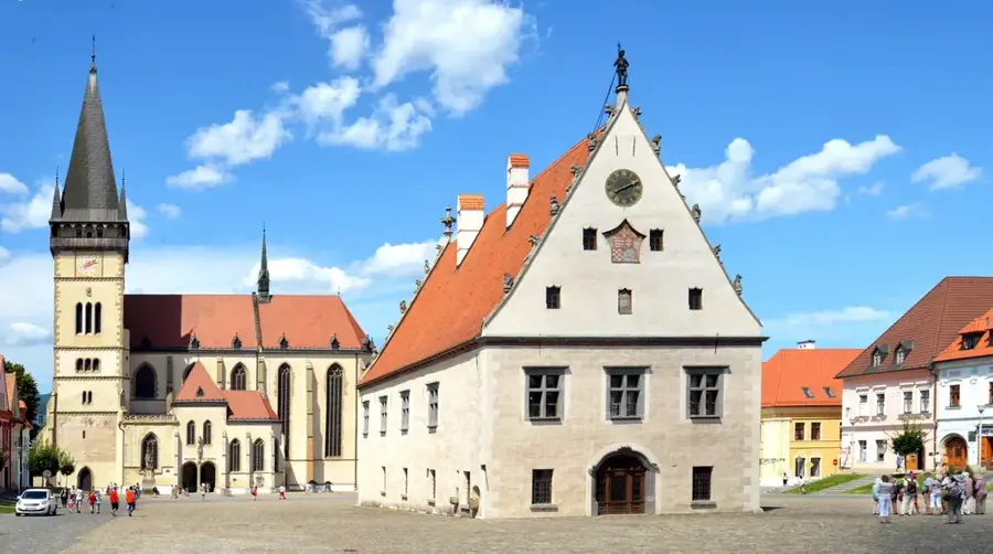
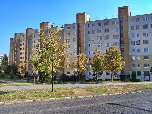
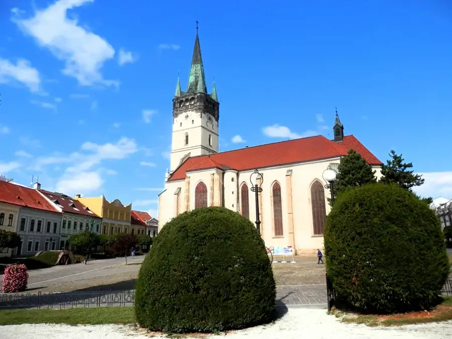
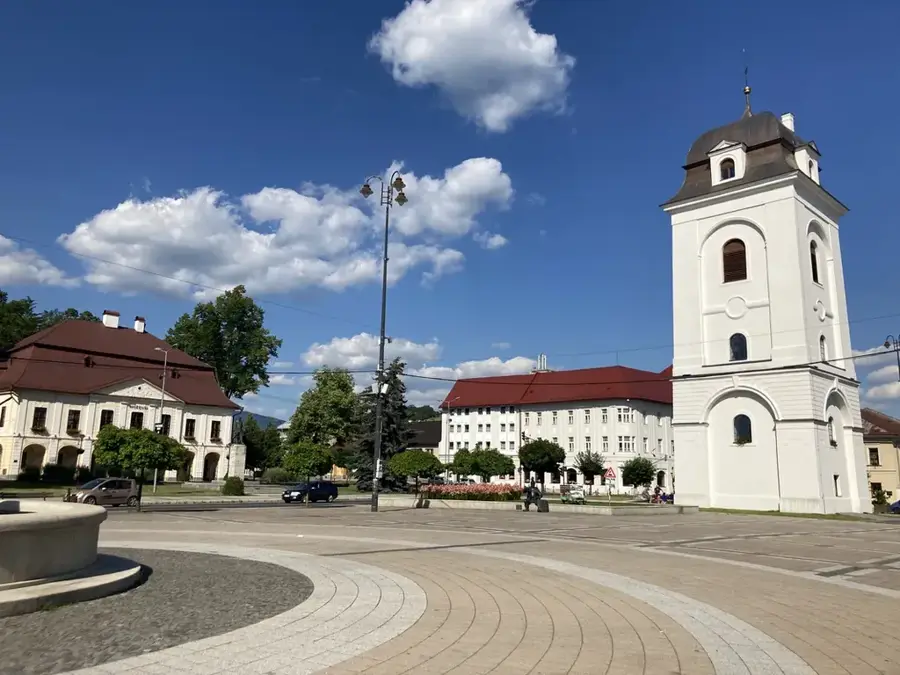
Sights in the town Kriváň (3)
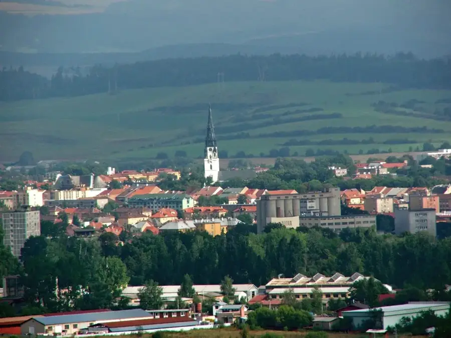
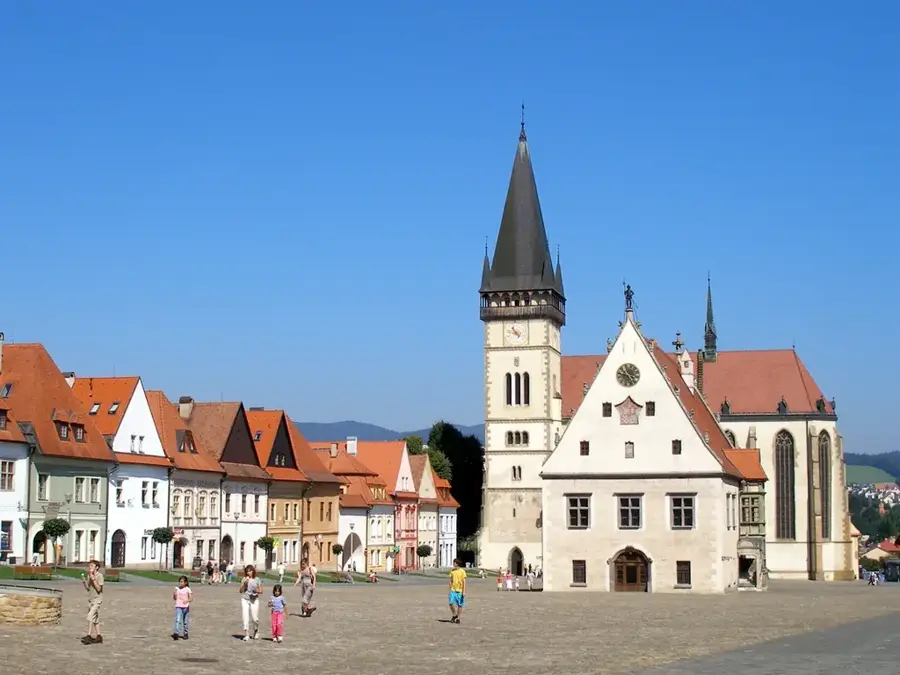
Sights nearby
Frequently asked questions
Why is Kriváň considered a national symbol?
How difficult is the ascent?
Where does the hike to Kriváň start?
How long does the whole tour take?
Is there a winter closure for the summit?
Kriváň: where is it located?
Kriváň: what is there to see?
Kriváň: when is the best time to visit?
Kriváň: why is it worth visiting?

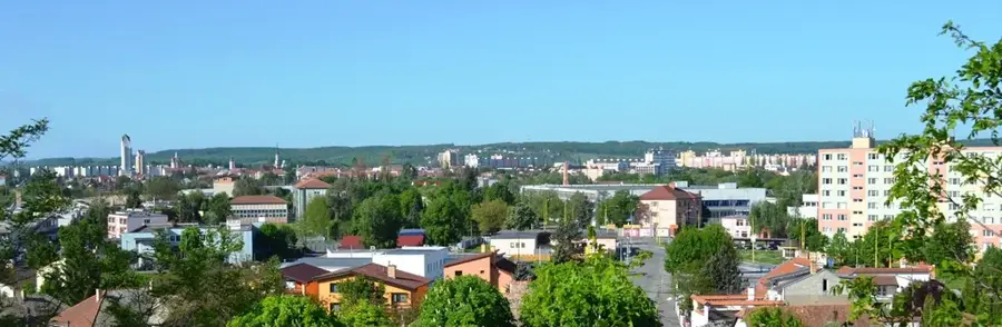
Nearby cities


History & landmarks