Plizio Visual Lab
Kalagi
ℹ️Practical info — Kalagi
▾
🌤 Weather — 5 days
📍 Nearby
Sights nearby
💡 Tips
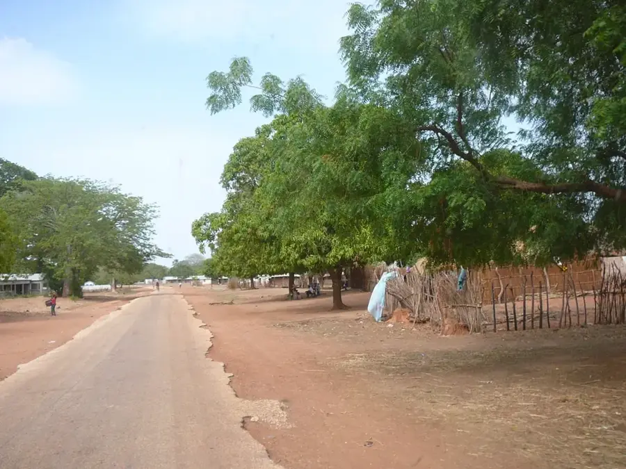
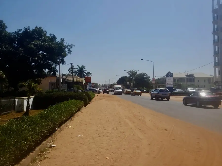
- Travel like a local: Gelleh-Gelleh minibuses are the cheapest and most authentic transport along the South Bank Road.
- Prepare for the heat: always carry enough water and plan to visit local markets in the early morning.
- Take advantage of the location: Kalagi is a major transit hub, making it a great pitstop on your way to Gambia's eastern provinces.
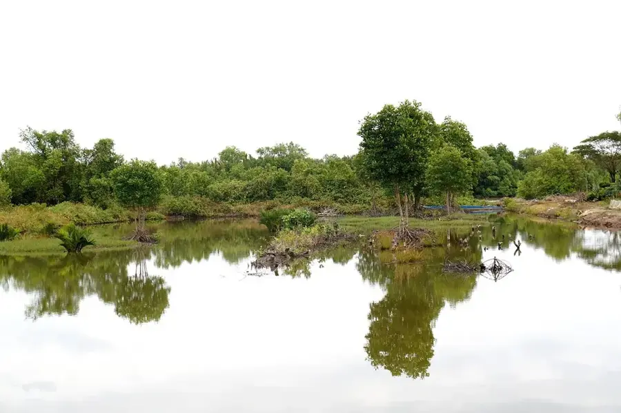
- A tributary of the Bintang Bolong river is nearby; ask locals for the best path to the banks for a short waterfront break.
🍽 Food
A traditional peanut stew. Look for small, local chop shops along the main road.
Gambian Jollof rice, often served with fish or beef, widely available at simple roadside eateries.
A popular breakfast similar to a rustic baguette; buy it fresh from street vendors in the morning.
🛍 Shopping · 🧘 Quiet spots
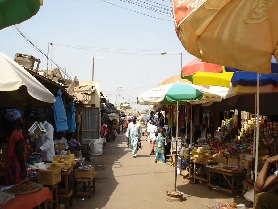
This is where you can find fresh local vegetables, peanuts, and everyday household goods.
Some stalls offer printed West African fabrics, great as a souvenir or for custom-made clothing.
A walk along the peanut fields on the outskirts of town provides a quiet glimpse into rural life.
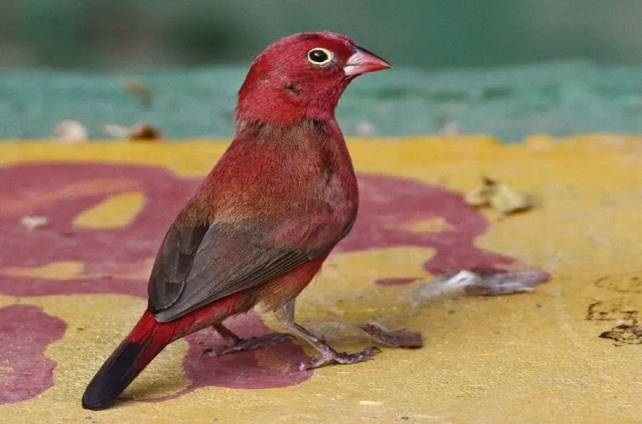
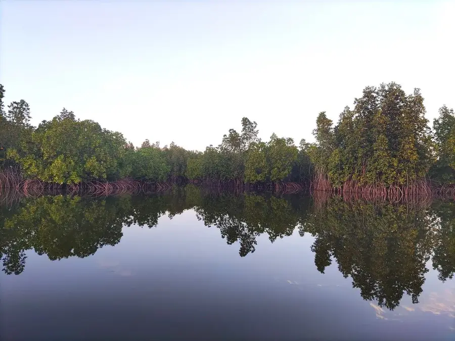
A bit away from the main road, you can find quiet spots near the tributary that are great for bird watching.
Water temperature…
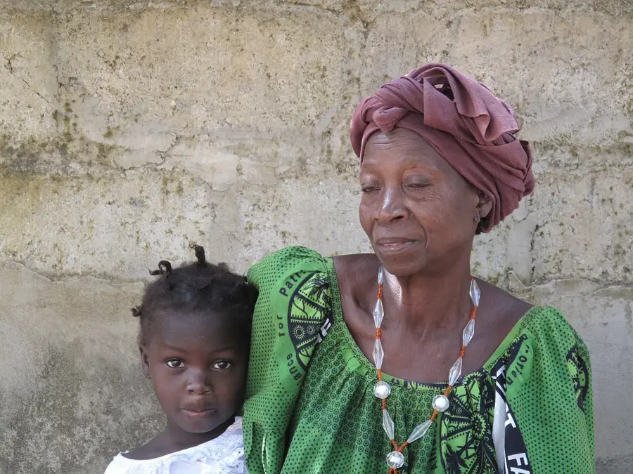
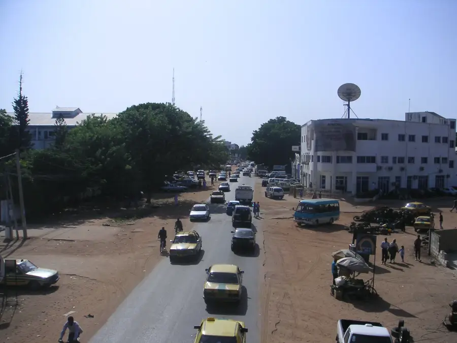
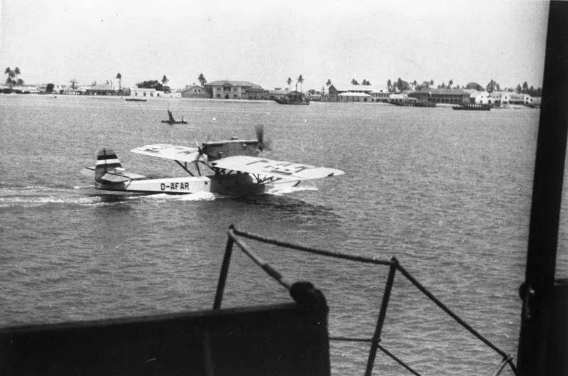
Kalagi is a strategically important village in the West Coast Region of The Gambia, situated directly on the border with the Lower River Region. The settlement is located along the South Bank Road, the nation's primary east-west transport artery, and serves as a vital commercial and service hub for the surrounding rural districts. Geographically, Kalagi lies within a fertile agricultural zone influenced by the proximity to the Gambia River and its tributaries, supporting the large-scale cultivation of groundnuts and rice. Historically, Kalagi functioned as a significant outpost during the colonial era, serving as a transit checkpoint for goods moving into the hinterland. Today, the village is a major transit stop for travelers and traders, injecting economic vitality into the area through local markets and small enterprises. The community maintains a strong traditional social structure, where local leadership plays a decisive role in resource management and infrastructure maintenance.
- Location: Gambia
- Nearby: Tendaba (15 km)
- Population: ~2.825 (2026)
Best time to visit & climate
The most pleasant time to visit is Jan, Feb, Dec.
| Jan | Feb | Mar | Apr | May | Jun | Jul | Aug | Sep | Oct | Nov | Dec | |
|---|---|---|---|---|---|---|---|---|---|---|---|---|
| Avg °C | 24 | 26 | 28 | 29 | 29 | 29 | 28 | 27 | 27 | 27 | 26 | 24 |
| Rain mm | 1 | 0 | 5 | 2 | 4 | 74 | 187 | 306 | 231 | 67 | 3 | 0 |
Geography
Facts
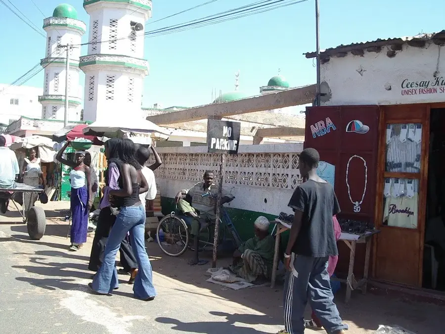
- Kalagi serves as a major transit checkpoint for traffic along the South Bank Road.
- The village marks the official administrative boundary between the West Coast and Lower River Regions.
- The local economy is heavily dependent on the trade of groundnuts, Gambia's top export.
- Kalagi hosts a key regional police headquarters and a customs monitoring post.
- The settlement is located a few kilometers south of the ecologically rich Bintang Bolong wetlands.
- Kalagi is famous for its vibrant weekly market (Lumo), attracting traders from across the region.
Explore nearby
Notable places around
Route planner — Car & Motorhome
Where do you start? We build the route here, with stops and country notes along the way.
© OpenStreetMap contributors · OpenRouteService
Sights in the town Kalagi (1)
Frequently asked questions
Where exactly is Kalagi located?
Is Kalagi a good stopover for travelers?
What is the main source of income in Kalagi?
Are there attractions nearby?
How is the climate in Kalagi?
Kalagi: where is it located?
Kalagi: when is the best time to visit?
Kalagi: why is it worth visiting?

Nearby cities


History & landmarks
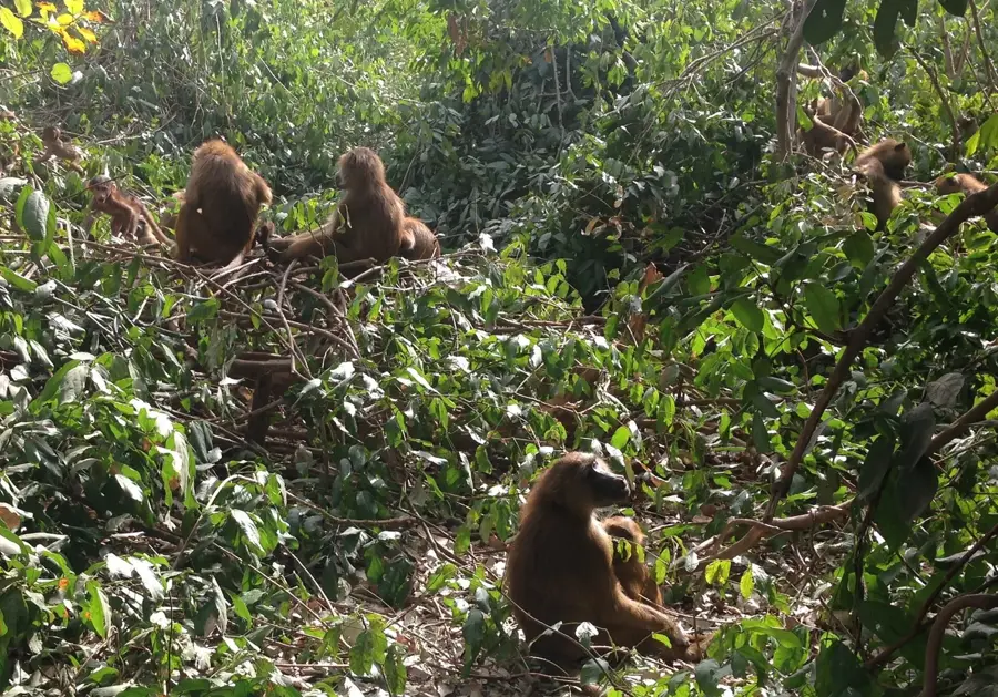
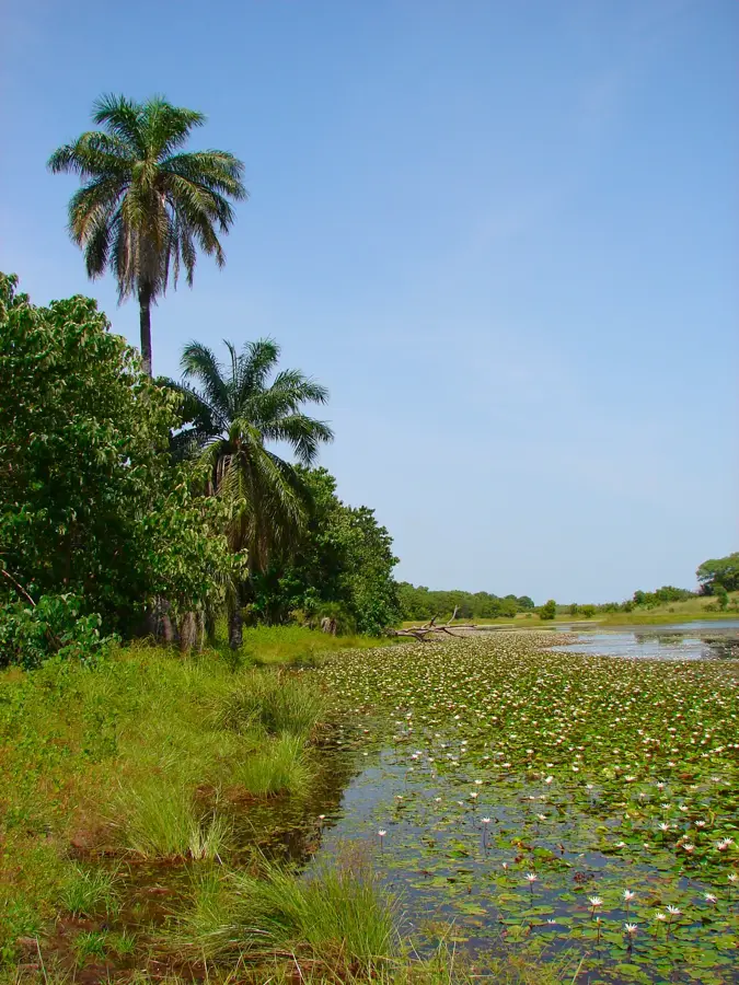
Nature
More places