Plizio Visual Lab
Gambia River
Weather…
Water temperature…
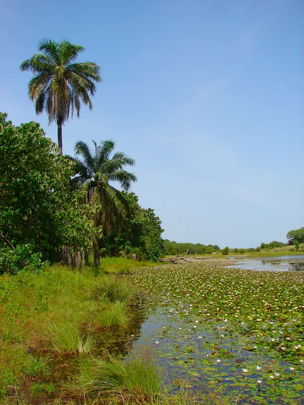
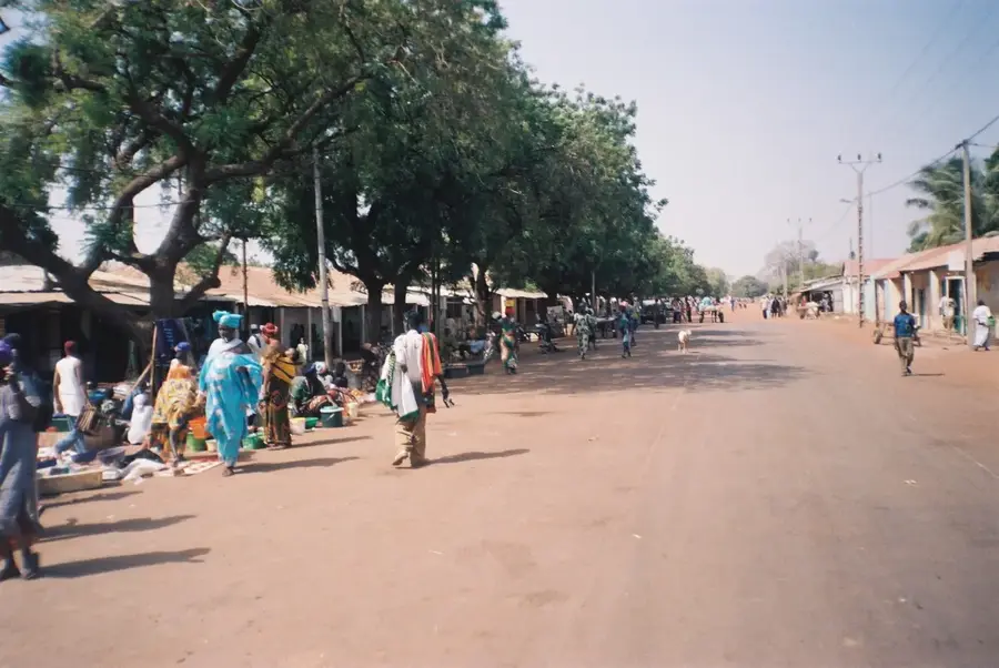
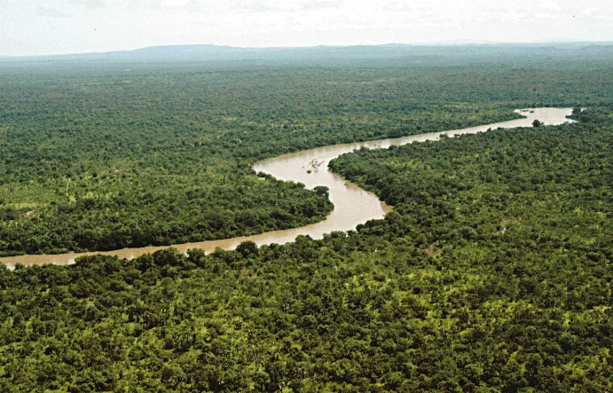
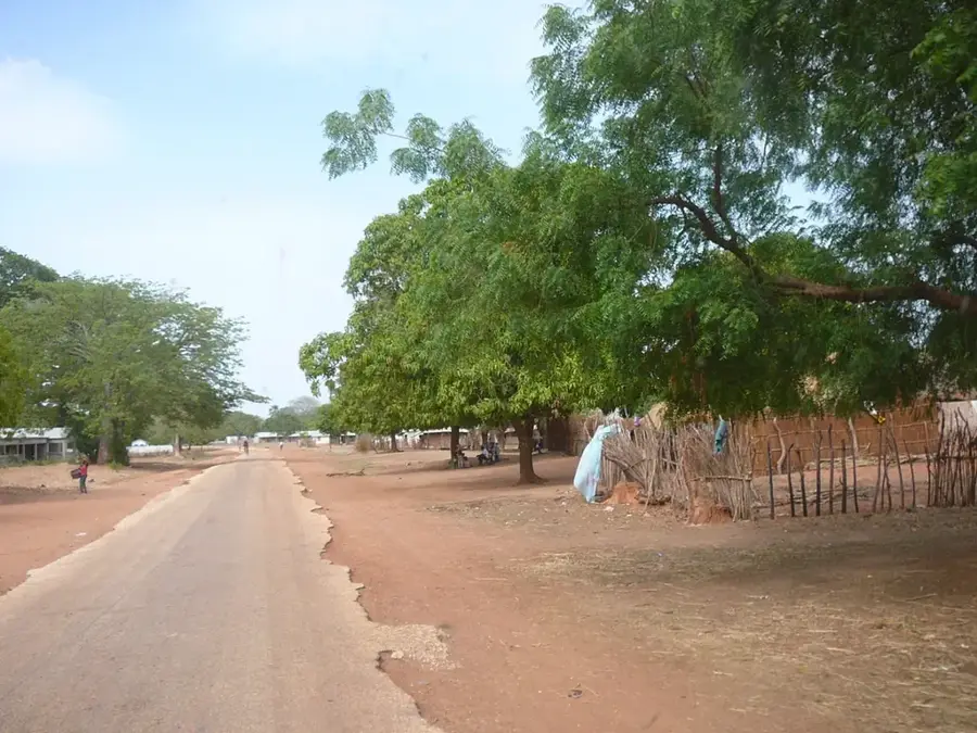
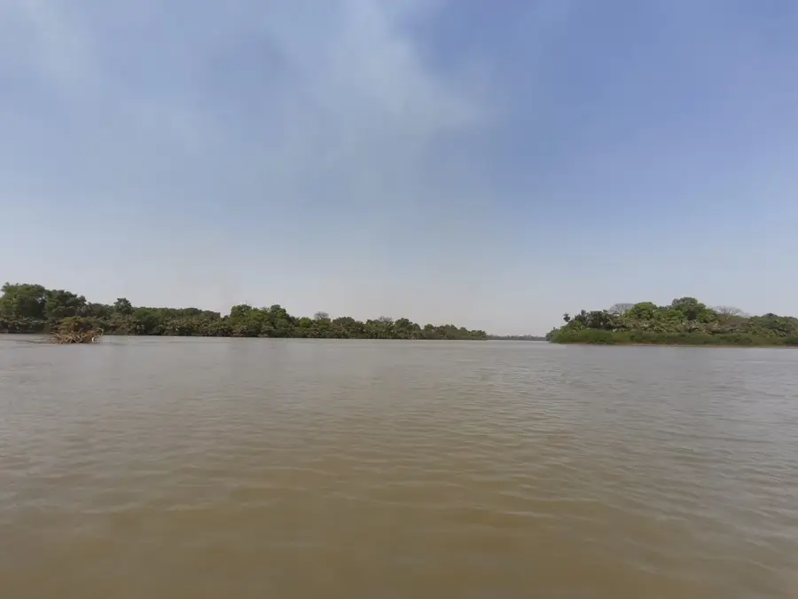
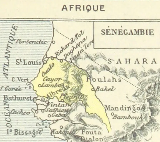
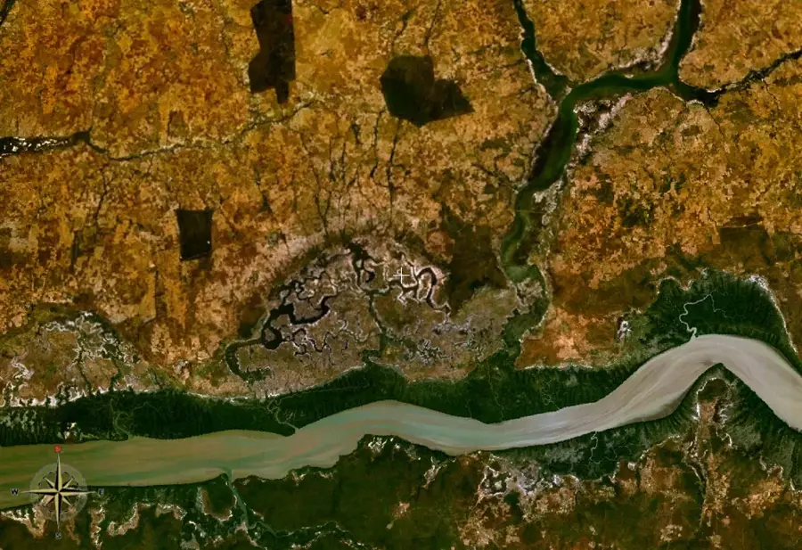
The Gambia River is a major waterway in West Africa, stretching approximately 1,120 kilometers from its source in the Fouta Djallon plateau of Guinea to the Atlantic Ocean. It flows through Senegal and bisects the country of The Gambia, effectively defining the nation’s narrow geographic shape. Historically, the river served as a vital trade route and was a site of intense competition between European powers during the colonial era and the slave trade. Today, it remains the country’s primary artery for transportation and commerce, especially for the export of groundnuts. The river’s diverse ecosystems include extensive mangrove forests and salt marshes that support a wide array of wildlife, from hippos to rare bird species. Navigable for much of its length within the country, the river is central to both the local economy and the cultural identity of the Gambian people.
- Location: Gambia
- Nearby: Mansa Konko (6 km)
Best time to visit & climate
The most pleasant time to visit is Jan, Feb, Dec.
| Jan | Feb | Mar | Apr | May | Jun | Jul | Aug | Sep | Oct | Nov | Dec | |
|---|---|---|---|---|---|---|---|---|---|---|---|---|
| Avg °C | 24 | 26 | 29 | 30 | 31 | 30 | 28 | 27 | 27 | 27 | 26 | 24 |
| Rain mm | 1 | 0 | 0 | 0 | 6 | 90 | 201 | 310 | 224 | 68 | 4 | 0 |
📋 Practical info
Geography
Facts
- The river is 1,120 km long.
- Its source is in Guinea’s Fouta Djallon.
- It was explored by Portuguese in 1455.
- The river bisects The Gambia into two halves.
- It is navigable for about 200 km inland.
- The mouth is at the Atlantic near Banjul.
Explore nearby
Notable places around
Route planner — Car & Motorhome
Where do you start? We build the route here, with stops and country notes along the way.
© OpenStreetMap contributors · OpenRouteService
Sights in the town Gambia River (1)
Sights nearby
Frequently asked questions
Can you swim in the Gambia River?
Are there hippos in the river?
How long is the river?
Are there regular ferry services?
Can you take boat trips?
Gambia River: where is it located?
Gambia River: when is the best time to visit?
Gambia River: why is it worth visiting?

Nearby cities

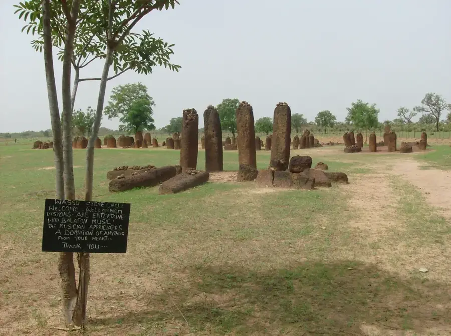
History & landmarks
Nature
More places