Plizio Visual Lab
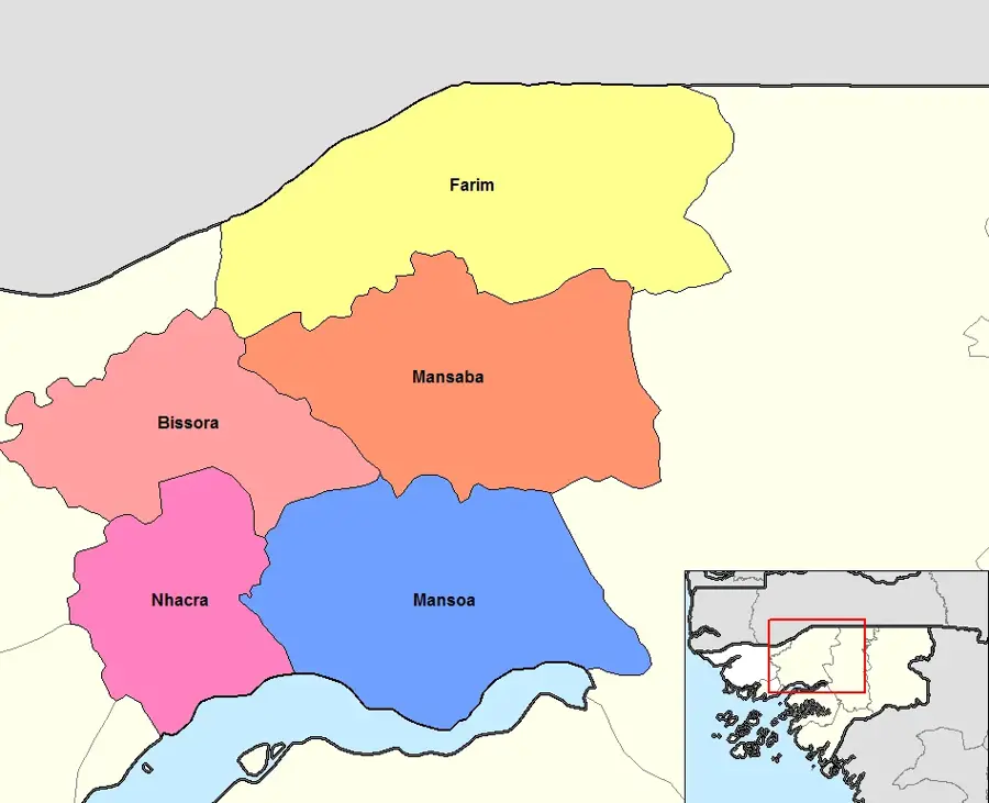
Farim
ℹ️Practical info — Farim
▾
🌤 Weather — 5 days
📍 Nearby
Sights nearby
💡 Tips
- Bring enough cash (CFA francs) as ATMs are practically non-existent.
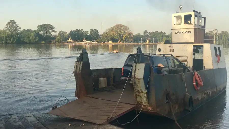
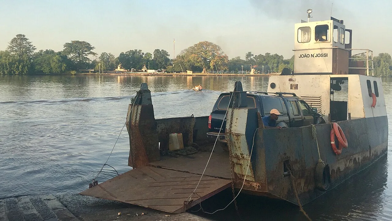
- Boat trips on the Farim River are a great way to see the area, but negotiate the price in advance.
- Dress modestly, respecting the local culture of the region.
- Malaria is a risk; always use mosquito repellent and sleep under a net.
🍽 Food
Freshly caught from the Farim River, often served with rice and a spicy sauce at small riverside eateries.
Guinea-Bissau is a major cashew producer; try the fresh fruit or local cashew wine in season.
🛍 Shopping · 🧘 Quiet spots
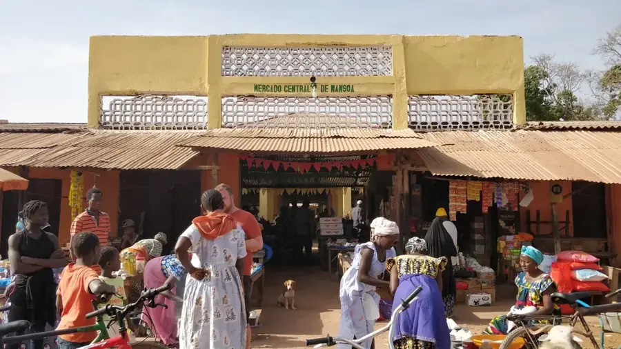
The best place for fresh fruits, vegetables, and basic daily goods.
Look for bright West African printed fabrics in small village shops.
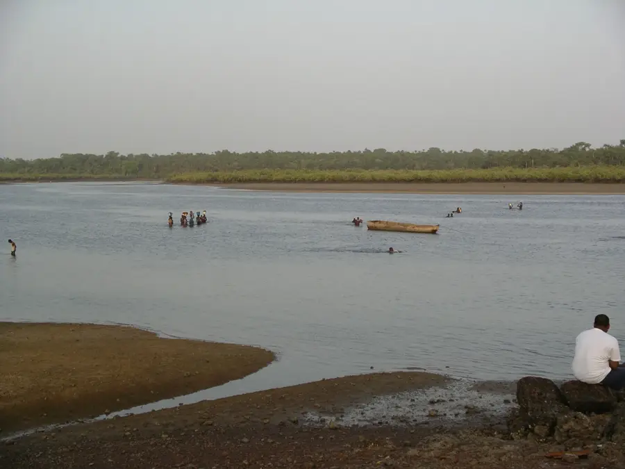
A peaceful spot to watch the slow-flowing water and local fishermen.
Take a walk towards the cashew plantations for a serene environment.
Water temperature…
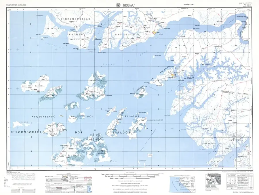
Farim is a historic town on the northern bank of the Cacheu River in northern Guinea-Bissau, serving as the capital of the Oio Region. The settlement was founded in 1641 by the Portuguese as a 'Presídio' to secure inland trade and provide defense against attacks from local tribes. For a long period, the town was a major hub for the trade of groundnuts and hides, which were transported along the river. In recent history, Farim has gained international attention due to the discovery of significant phosphate deposits nearby, the extraction of which is expected to play a crucial role in the country's economic development. A modern bridge across the Cacheu River has significantly improved connectivity with the rest of the country in recent years and boosted cross-border trade with neighboring Senegal. Culturally, the town is defined by a blend of Mandinka and Fula influences, reflected in the spirited local crafts and traditional markets.
- Location: Guinea-Bissau
- Nearby: Olossato (26 km)
- Population: ~10.207 (2023)
Best time to visit & climate
The most pleasant time to visit is Jan, Feb, Dec.
| Jan | Feb | Mar | Apr | May | Jun | Jul | Aug | Sep | Oct | Nov | Dec | |
|---|---|---|---|---|---|---|---|---|---|---|---|---|
| Avg °C | 23 | 26 | 28 | 31 | 31 | 29 | 27 | 26 | 26 | 27 | 26 | 23 |
| Rain mm | 1 | 0 | 0 | 0 | 21 | 139 | 325 | 420 | 303 | 123 | 8 | 0 |
Geography
Facts
- Founded in 1641 as a Portuguese military outpost
- Capital city of the northern Oio Region
- Located on the strategically important Cacheu River
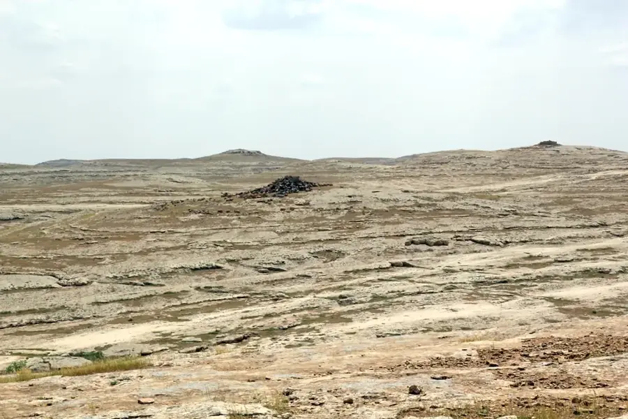
- Site of major national phosphate mineral deposits
- Important hub for cross-border trade with Senegal
- A modern bridge has improved accessibility since 2021
Explore nearby
Notable places around
Route planner — Car & Motorhome
Where do you start? We build the route here, with stops and country notes along the way.
© OpenStreetMap contributors · OpenRouteService
Frequently asked questions
What is the history of Farim?
How to get there?
When to visit?
Is it worth taking photos?
Food options?
Farim: where is it located?
Farim: when is the best time to visit?
Farim: why is it worth visiting?

Nearby cities


Nature
More places