Plizio Visual Lab
Binta Forest

Weather…
Water temperature…
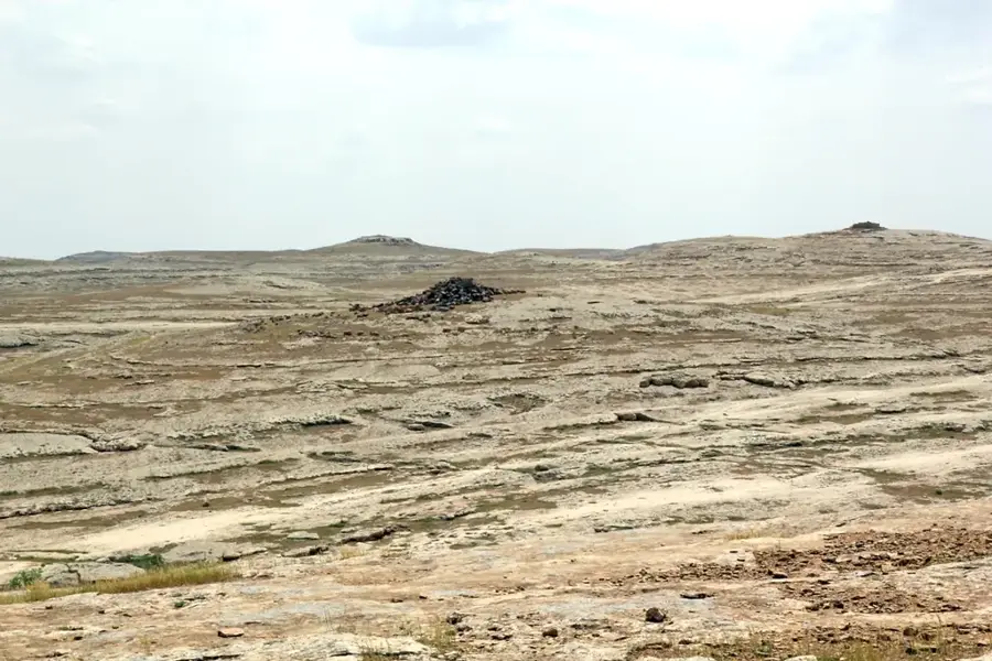
The relief of the Binta Forest in northern Guinea-Bissau is a classic example of the gently undulating laterite plateaus of the Oio region. This area sits at an average elevation of 40 to 60 meters above sea level and is characterized by a mosaic of flat plateaus and shallow depressions. The soil composition is defined by iron-rich laterite, which forms a hard crust during the drier months. The relief directly influences the forest's hydrological dynamics: during the rainy season, large amounts of surface water accumulate in the depressions, forming small, temporary lakes (lagoas), while the plateaus dry out quickly. This topographical diversity allows for a mix of dense dry forest on the heights and moister vegetation types in the lowlands. Geomorphologically, the Binta Forest is part of an ancient erosion valley shaped over time by sedimentation and chemical weathering. The relief also provides natural protection for the resident fauna, as the uneven topography and dense vegetation hinder access. For local agriculture, the gentle slopes of the Binta Forest are significant, providing good drainage for the cultivation of peanuts and cashew nuts.
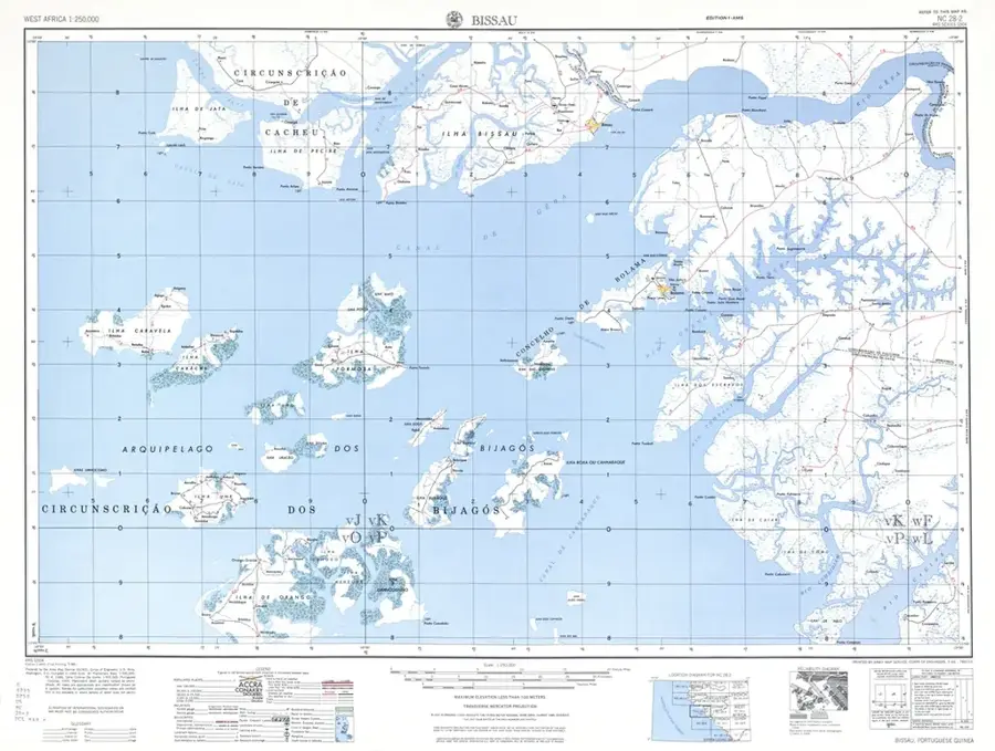
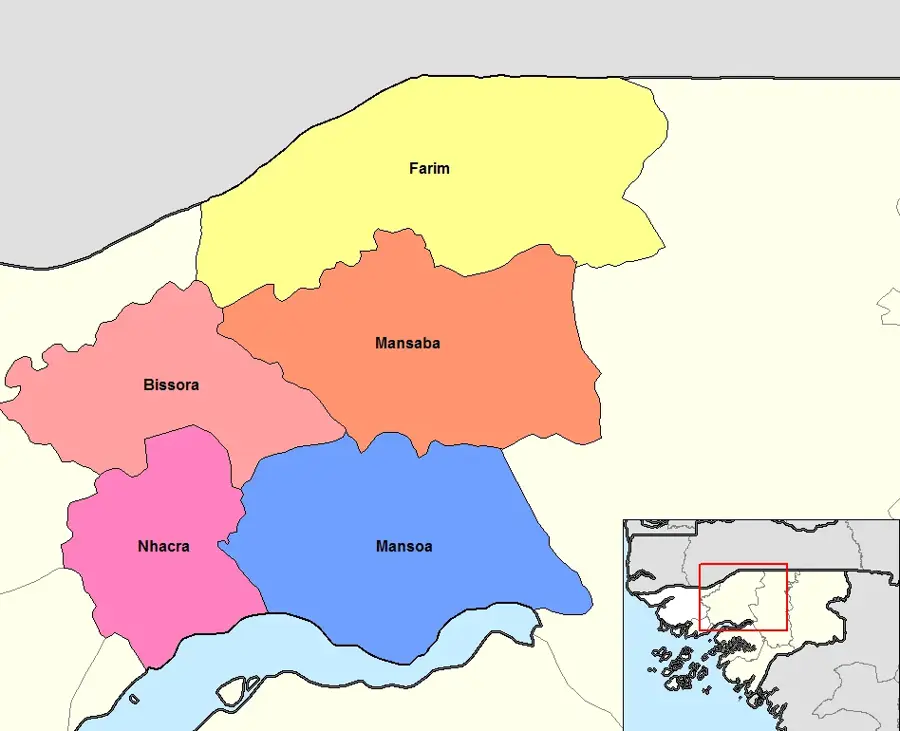
- Location: Guinea-Bissau
- Nearby: Farim (13 km)
Best time to visit & climate
The most pleasant time to visit is Jan, Feb, Dec.
| Jan | Feb | Mar | Apr | May | Jun | Jul | Aug | Sep | Oct | Nov | Dec | |
|---|---|---|---|---|---|---|---|---|---|---|---|---|
| Avg °C | 23 | 26 | 28 | 31 | 31 | 29 | 27 | 26 | 26 | 27 | 26 | 23 |
| Rain mm | 1 | 0 | 0 | 0 | 21 | 139 | 325 | 420 | 303 | 123 | 8 | 0 |
📋 Practical info
Geography
Facts
- The relief is composed of some of the most stable geological formations in the north.
- Temporary lakes (lagoas) form in the natural depressions of the terrain.
- The soil features high concentrations of aluminum and iron oxides.
- The average slope of the terrain is less than 5%.
- The relief favors the growth of fire-resistant tree species.
- During the dry season, the uneven relief provides cover for warthogs.
Explore nearby
Notable places around
Route planner — Car & Motorhome
Where do you start? We build the route here, with stops and country notes along the way.
© OpenStreetMap contributors · OpenRouteService
Sights nearby
Frequently asked questions
Can the Binta Forest be visited without a guide?
What animals can be observed in the forest?
Is the Binta Forest accessible during the rainy season?
Are there marked hiking trails?
What should you bring for a tour in the forest?
Binta Forest: where is it located?
Binta Forest: when is the best time to visit?
Binta Forest: why is it worth visiting?

Nearby cities


Nature
More places