Plizio Visual Lab
Nyabarongo River
Weather…
Water temperature…
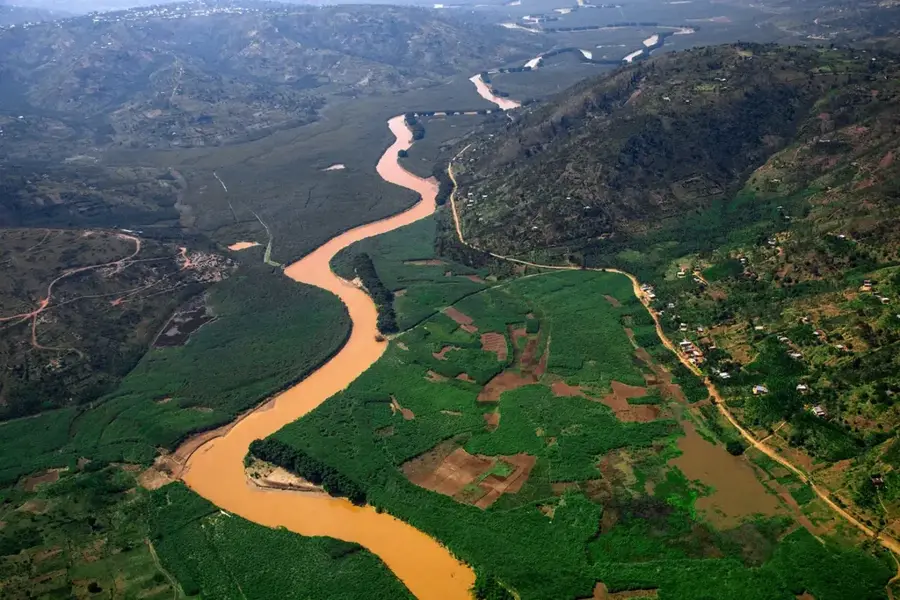
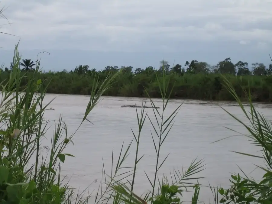
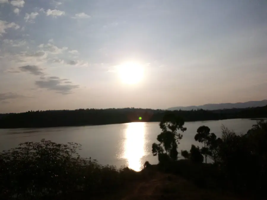
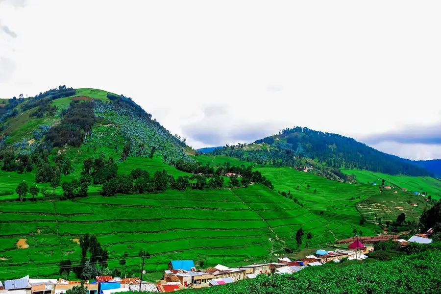
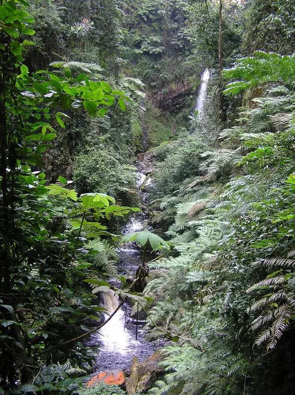
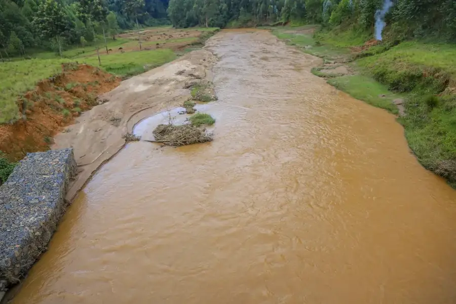
The Nyabarongo is the longest river in Rwanda and a major tributary of the upper Nile basin. It originates in the southwestern part of the country at the confluence of the Mbirurume and Mwogo rivers, flowing for approximately 297 kilometers through the central highlands. The river acts as a natural boundary between several provinces and sustains numerous wetlands and lakes, including Lake Rweru. Geomorphologically, the Nyabarongo carries a high sediment load, which results in its distinctive brown coloration. Several hydroelectric power plants are situated along its course, such as the Nyabarongo I station, which contributes a significant portion of the national electricity supply. Despite its economic importance, the river faces environmental challenges from mining runoff and agricultural pollution.
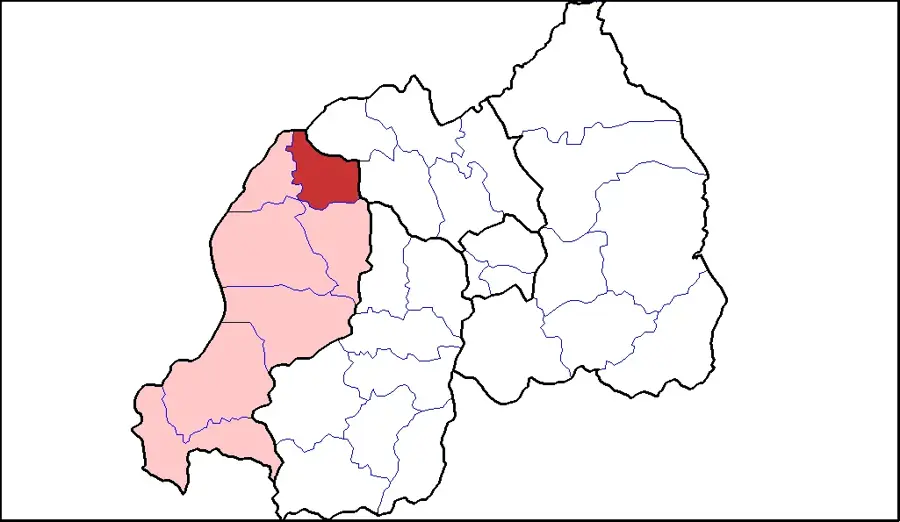
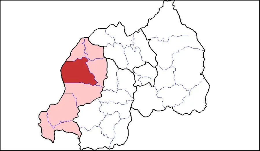
- Location: Rwanda
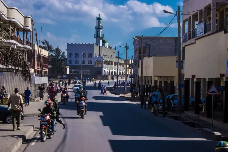
- Nearby: Nyamata (16 km)
Best time to visit & climate
The most pleasant time to visit is Jun–Aug.
| Jan | Feb | Mar | Apr | May | Jun | Jul | Aug | Sep | Oct | Nov | Dec | |
|---|---|---|---|---|---|---|---|---|---|---|---|---|
| Avg °C | 20 | 21 | 20 | 20 | 19 | 19 | 19 | 20 | 21 | 20 | 19 | 20 |
| Rain mm | 96 | 102 | 154 | 178 | 139 | 50 | 31 | 56 | 88 | 129 | 160 | 109 |
📋 Practical info
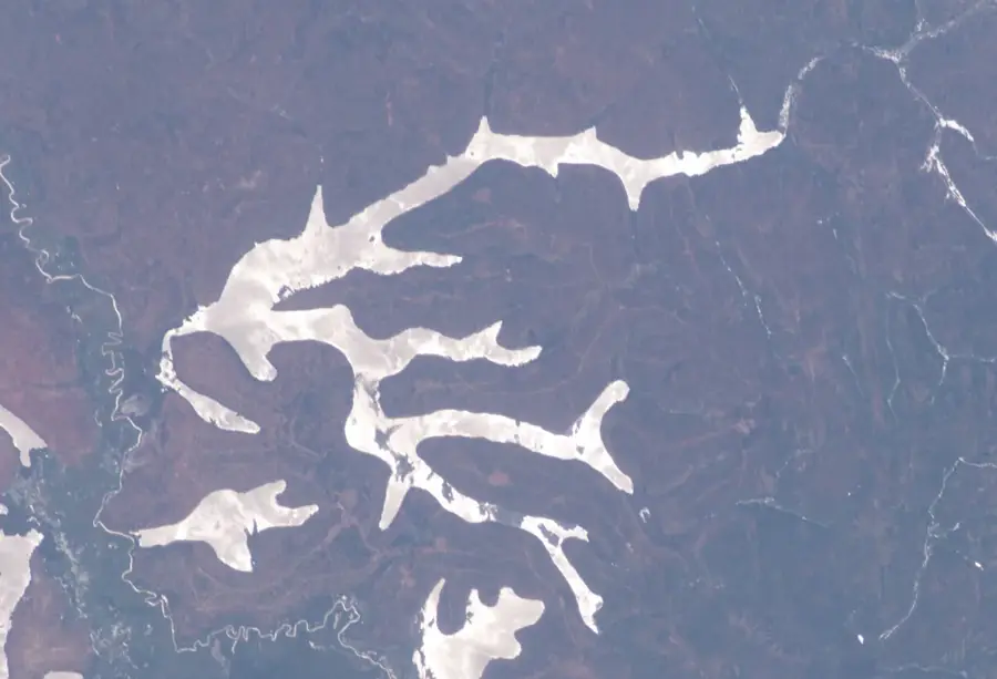
Geography
Facts
- Total length is approximately 297 kilometers within Rwanda.
- Primary component of the drainage system leading to the Nile.
- The Nyabarongo I hydroelectric plant has a 28 MW capacity.
- Known for high turbidity due to heavy sedimentation.
- Originates at an elevation exceeding 2,000 meters.
- Serves as a provincial border for much of its course.
Explore nearby
Notable places around
Route planner — Car & Motorhome
Where do you start? We build the route here, with stops and country notes along the way.
© OpenStreetMap contributors · OpenRouteService
Sights nearby
Frequently asked questions
Can you boat on the Nyabarongo River?
Are there crocodiles in the river?
What is the Nyabarongo known for?
Can you hike along the banks?
Is photography allowed?
Nyabarongo River: where is it located?
Nyabarongo River: when is the best time to visit?
Nyabarongo River: why is it worth visiting?

Nearby cities

History & landmarks
Nature
More places