Plizio Visual Lab
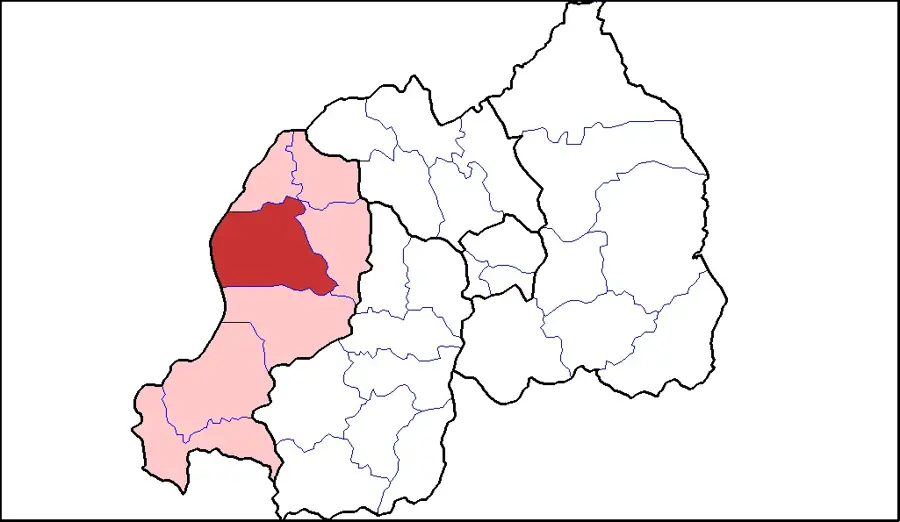
Rutsiro
ℹ️Practical info — Rutsiro
▾
🌤 Weather — 5 days
📍 Nearby
Sights nearby
💡 Tips
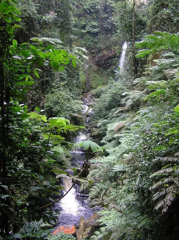
- Rutsiro has access to the Gishwati sector of Gishwati-Mukura National Park, handy for chimpanzee tracking in smaller groups.
- Wear gardening gloves during forest hikes to protect yourself from the dense stinging nettles.
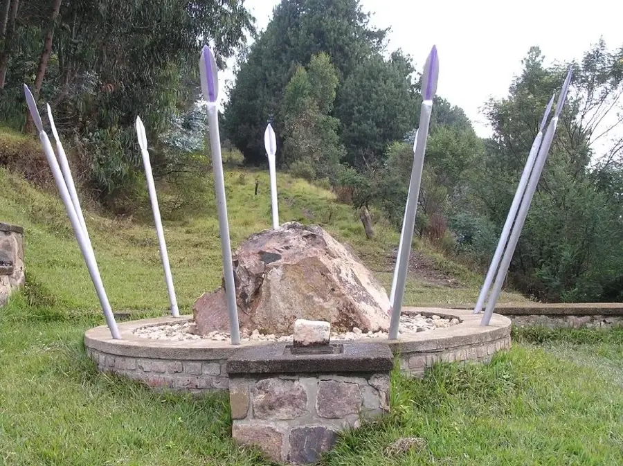
- Visit the Congo-Nile Divide Point for 360-degree views of the watershed between Africa’s two greatest rivers.
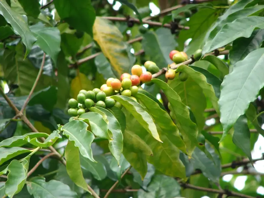
- Kinunu is the best spot on Lake Kivu to experience the entire 'seed to cup' coffee process right on the shore.
🍽 Food
Freshly roasted highland coffee prepared in traditional clay pots right on the lakeshore in Kinunu.
These small Kivu fish are prepared extra crunchy here and often served as a snack with dinner.
Try the black tea from local factories, known for its bold aroma due to the high altitude growth.
🛍 Shopping · 🧘 Quiet spots
A great place to buy fresh honey, dairy products, and handmade crafts directly from youth producers.
Visit the weavers to purchase high-quality Agaseke peace baskets directly from the source.
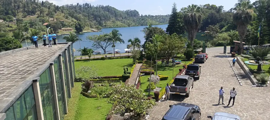
A former mission station with a private beach, offering a profound sense of stillness and seclusion.
A secluded stretch of sand in the Boneza sector, often completely empty and peaceful on weekdays.
Water temperature…
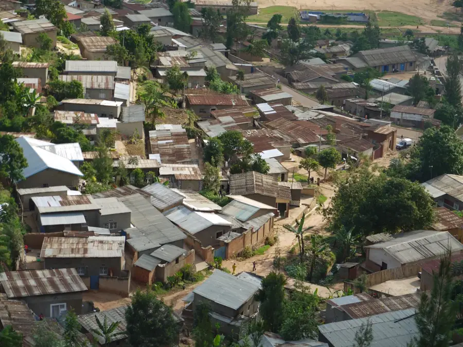
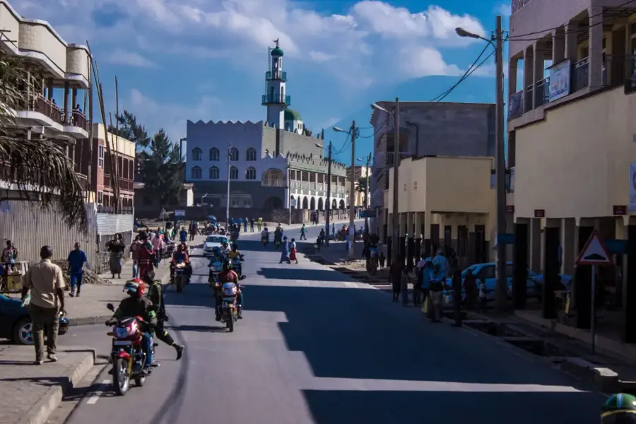
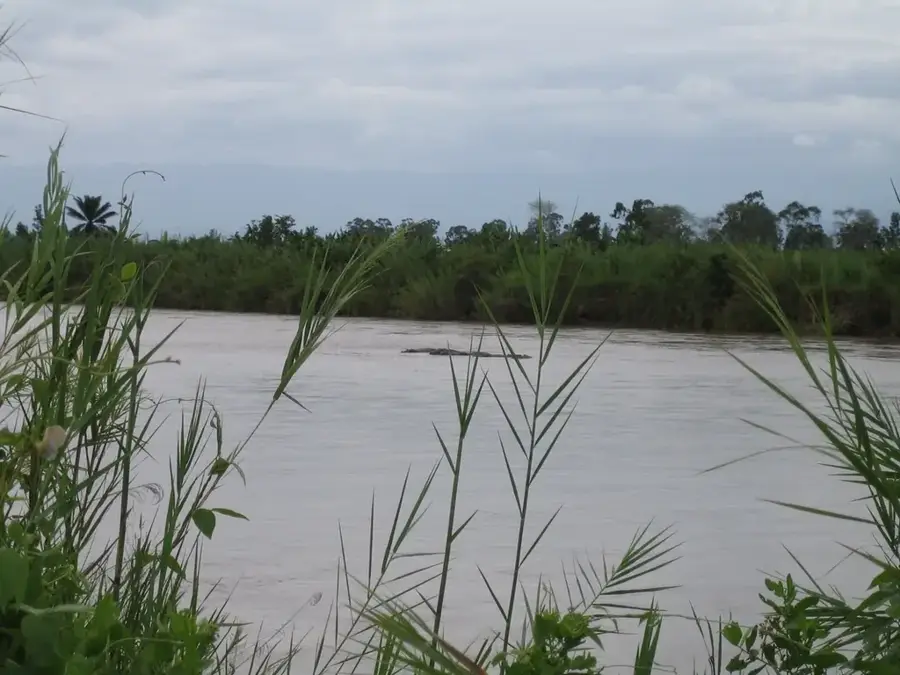
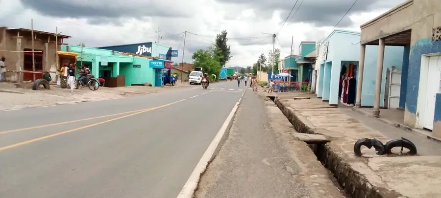
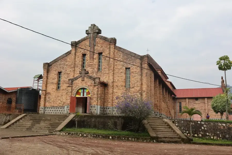
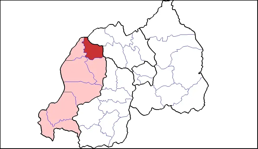
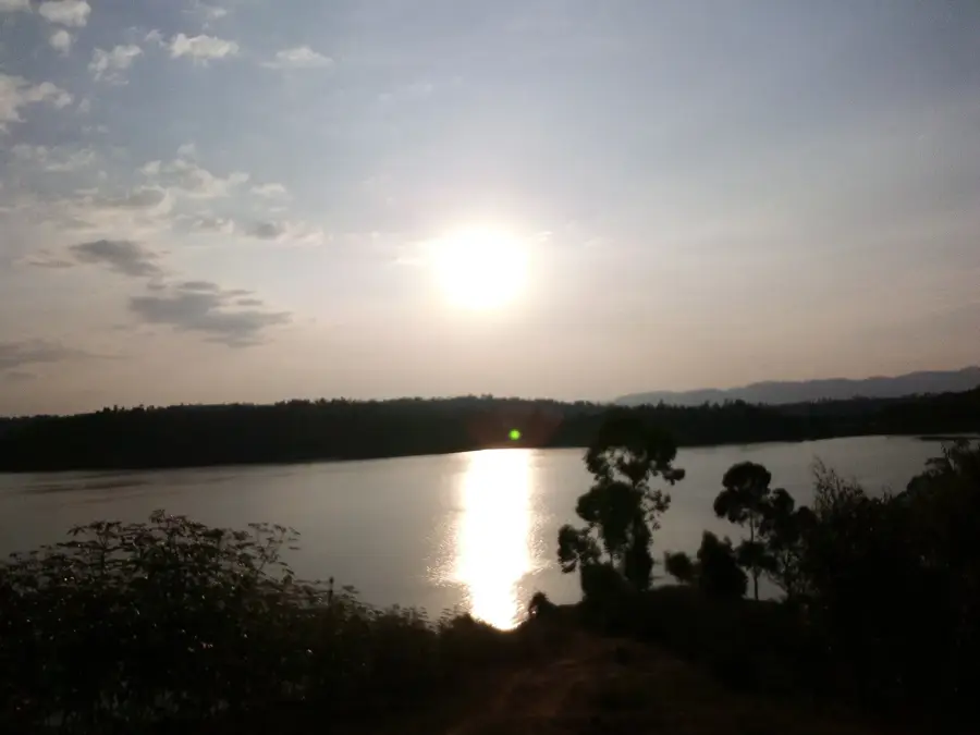
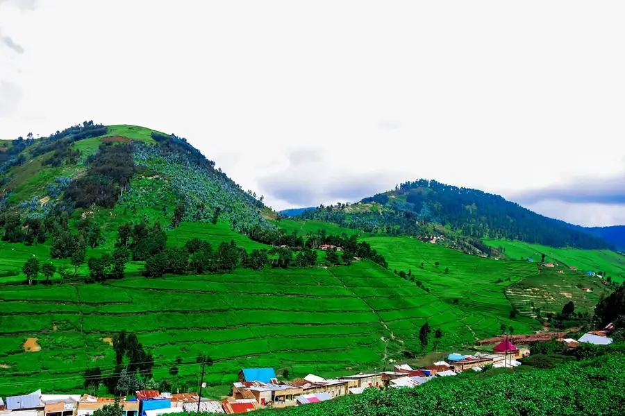
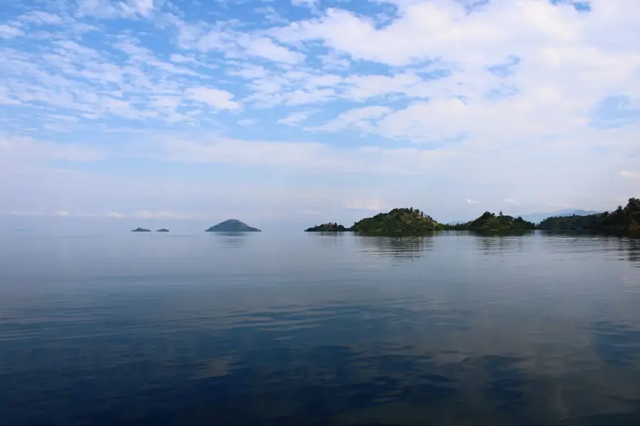
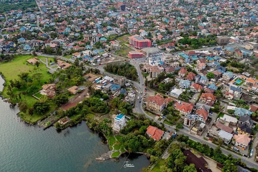
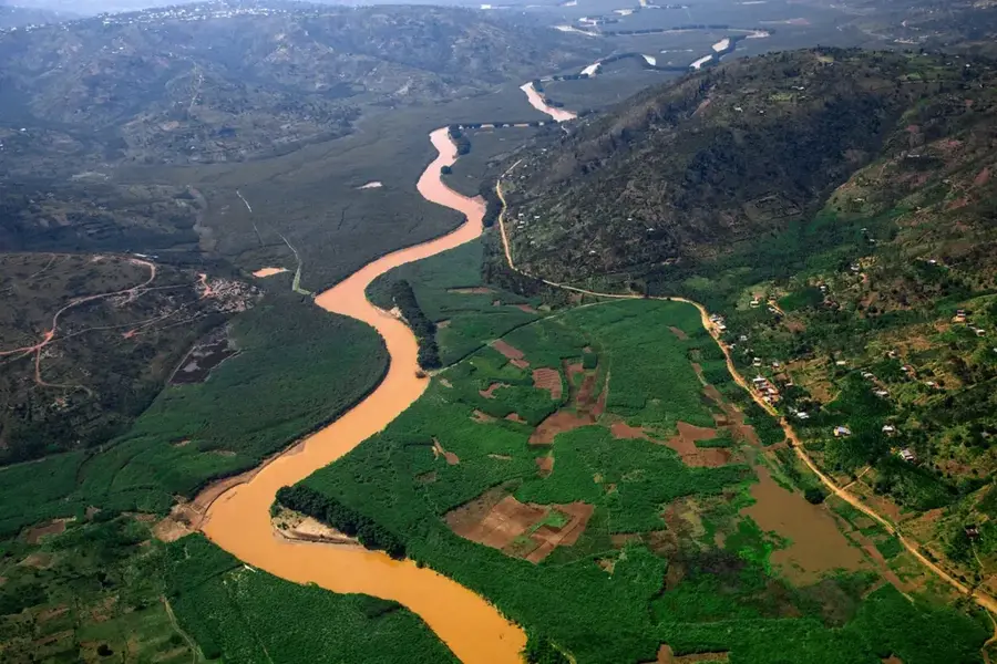
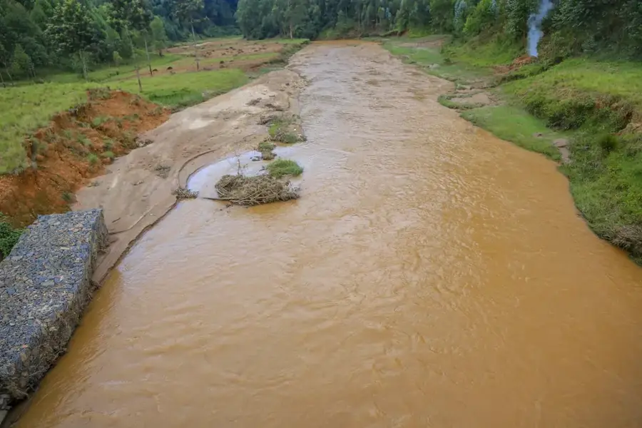
Rutsiro is a rural district and town in the Western Province of Rwanda, stretching along the rugged shores of Lake Kivu. The region is one of the most remote and scenic in the country, with extremely steep hills that drop directly into the lake. The economy is mainly based on subsistence agriculture, but the region is also known for its high-quality coffee and tea. Recently, the government has made efforts to improve infrastructure and promote tourism. Rutsiro is part of the Congo Nile Trail, which attracts hikers and cyclists. Another important economic activity is the artisanal mining of minerals such as cassiterite. The town of Rutsiro itself is small and serves as the administrative center for the district.
- Location: Rwanda
- Nearby: Napoleon Island (Nyamunini) (10 km)
Best time to visit & climate
The most pleasant time to visit is Jun–Aug.
| Jan | Feb | Mar | Apr | May | Jun | Jul | Aug | Sep | Oct | Nov | Dec | |
|---|---|---|---|---|---|---|---|---|---|---|---|---|
| Avg °C | 20 | 21 | 21 | 20 | 19 | 19 | 19 | 20 | 21 | 20 | 20 | 20 |
| Rain mm | 126 | 133 | 191 | 191 | 141 | 61 | 38 | 80 | 118 | 164 | 196 | 149 |
Geography
Facts
- Located on the scenic Congo Nile Trail.
- One of the most rural and remote regions on Lake Kivu.
- Known for coffee and tea cultivation on steep slopes.
- Artisanal mining of cassiterite is common.
- The landscape is characterized by extreme steepness.
- Low population density compared to other regions.
Explore nearby
Notable places around
Route planner — Car & Motorhome
Where do you start? We build the route here, with stops and country notes along the way.
© OpenStreetMap contributors · OpenRouteService
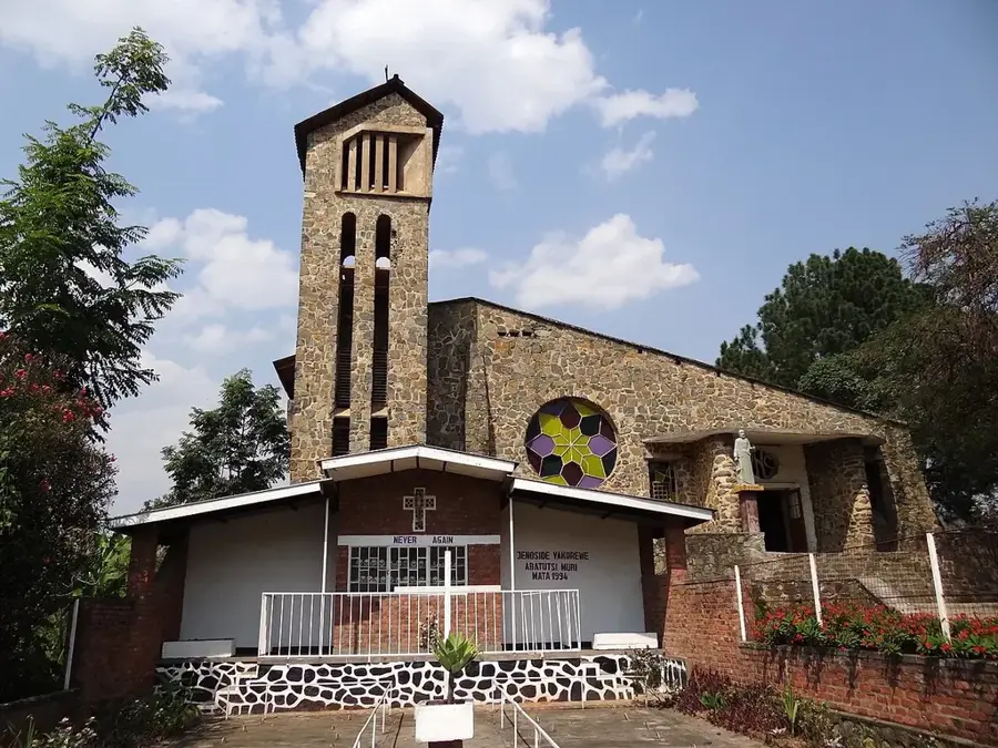
Sights in the town Rutsiro (1)
Frequently asked questions
Why should I visit Rutsiro?
How is the terrain?
Are there hiking tours there?
Is it safe?
What should you bring?
Rutsiro: where is it located?
Rutsiro: when is the best time to visit?
Rutsiro: why is it worth visiting?

Nearby cities

History & landmarks
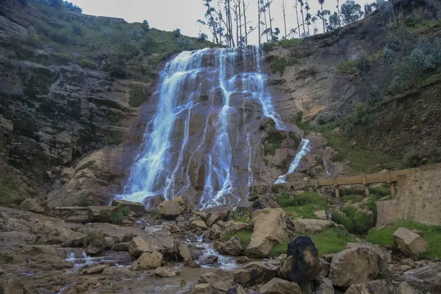
Nature
More places