Plizio Visual Lab
Yergeni Upland
Weather…
Water temperature…
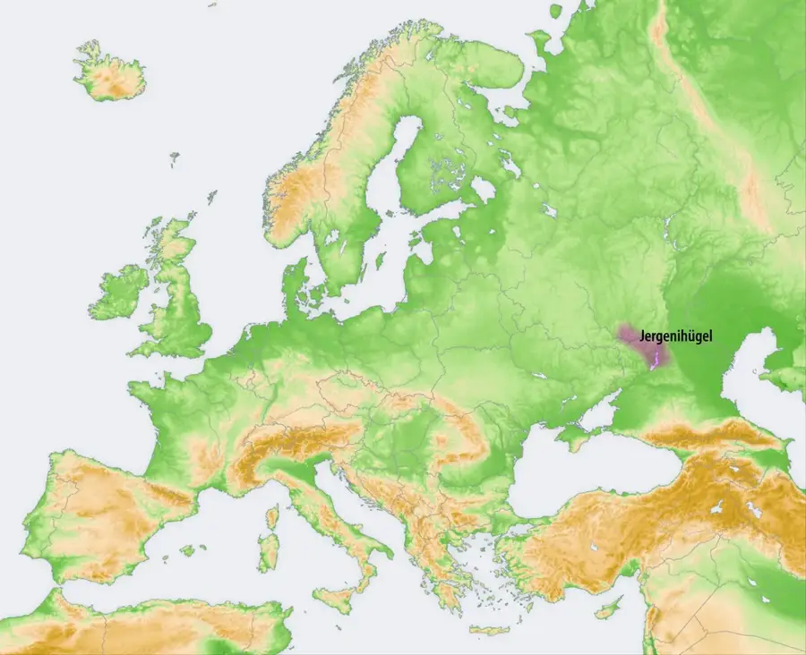
The Yergeni Upland is a rolling plateau in the southeastern part of European Russia, stretching approximately 330 kilometers from the Volga River bend near Volgograd to the Kuma-Manych Depression. This geological formation serves as a significant drainage divide between the Caspian Sea to the east and the Sea of Azov to the west. The relief is notably asymmetrical, with a steep eastern slope dropping sharply toward the Caspian Depression and a gentle western slope merging into the Don River basin. Composed primarily of loess and clay, the upland is highly susceptible to erosion, which has carved out numerous ravines and gullies across its surface. The semiarid climate supports a landscape of dry steppe and semi-desert vegetation, traditionally used for livestock grazing by the Kalmyk people. Though modest in height, with peaks reaching only around 222 meters, the Yergeni Upland is a crucial geographical feature defining the transition between Russia's fertile plains and its arid eastern regions.
Best time to visit & climate
The most pleasant time to visit is Jun, Aug, Sep.
| Jan | Feb | Mar | Apr | May | Jun | Jul | Aug | Sep | Oct | Nov | Dec | |
|---|---|---|---|---|---|---|---|---|---|---|---|---|
| Avg °C | -6 | -5 | 2 | 9 | 18 | 23 | 26 | 25 | 18 | 9 | 2 | -4 |
| Rain mm | 29 | 27 | 33 | 26 | 48 | 32 | 30 | 17 | 31 | 34 | 27 | 31 |
📋 Practical info
Geography
Facts
- The Yergeni Upland stretches for a total length of about 330 kilometers.
- The highest point of the upland reaches an elevation of 222 meters.
- The geological base consists mainly of Pliocene clay and loess deposits.
- The plateau acts as the drainage divide between the Volga and Don river basins.
- Its eastern escarpment drops abruptly towards the Caspian Lowland.
- Elista, the capital of Kalmykia, is located at the southern end of the upland.
Explore nearby
Notable places around
Route planner — Car & Motorhome
Where do you start? We build the route here, with stops and country notes along the way.
© OpenStreetMap contributors · OpenRouteService
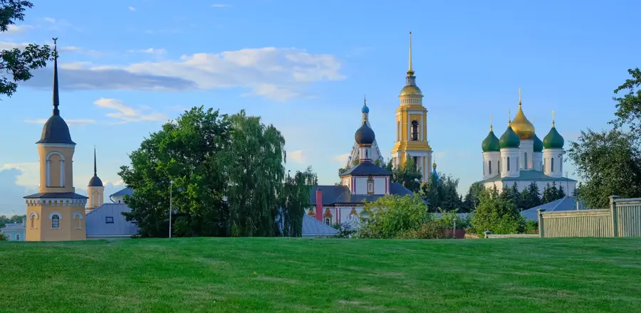
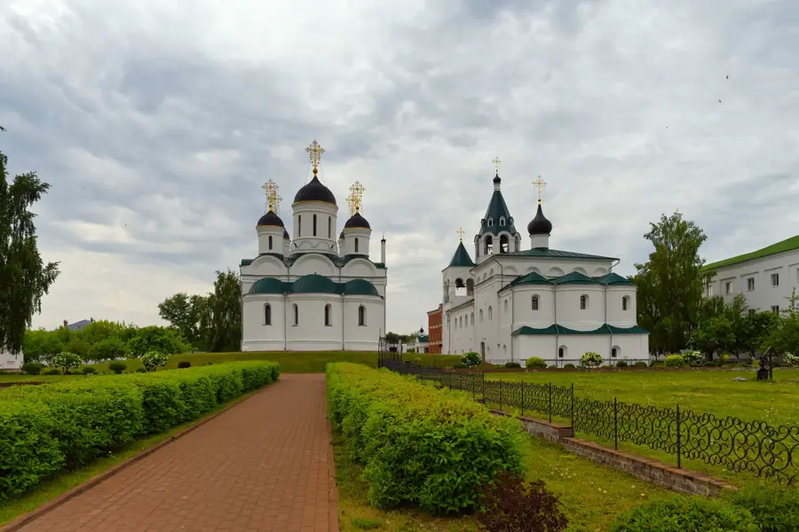
Sights nearby
Frequently asked questions
What are the Yergeni Uplands?
What is special about the landscape?
Best time to travel?
Is water a problem there?
Are there tourist facilities?
Yergeni Upland: where is it located?
Yergeni Upland: when is the best time to visit?
Yergeni Upland: why is it worth visiting?

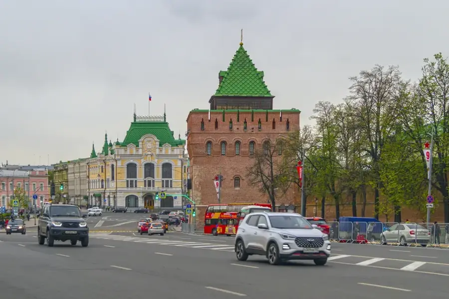
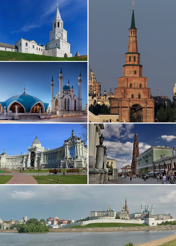
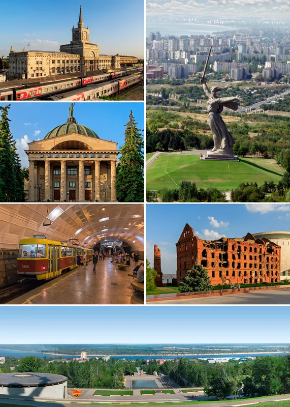
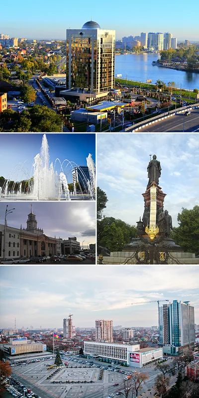
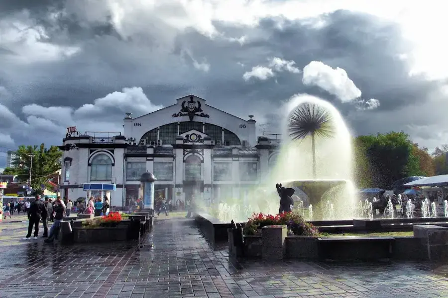
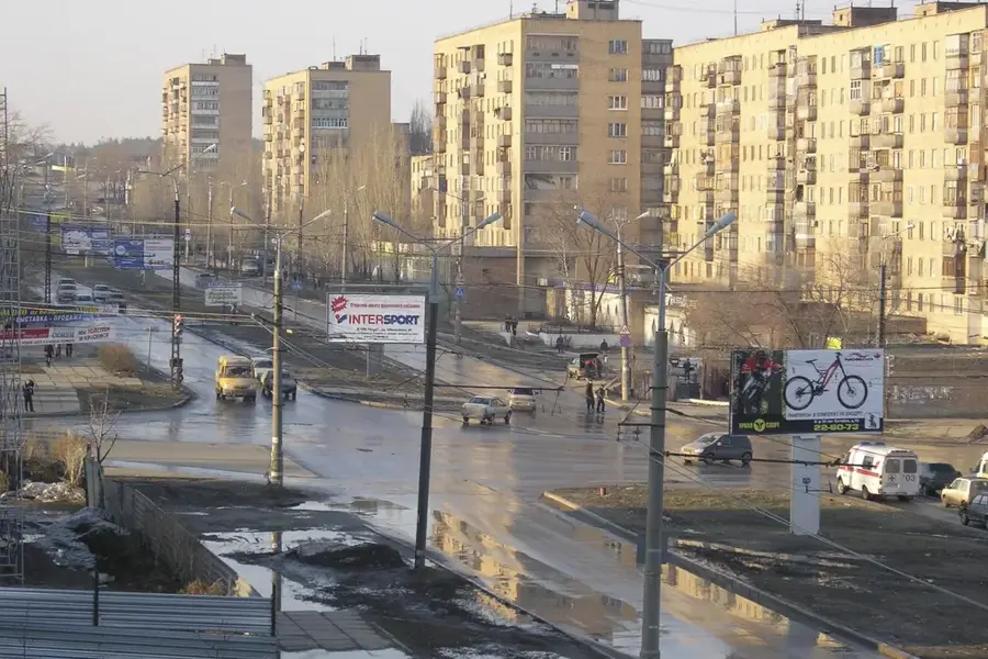
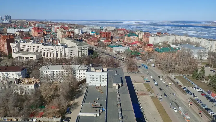
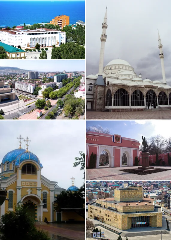
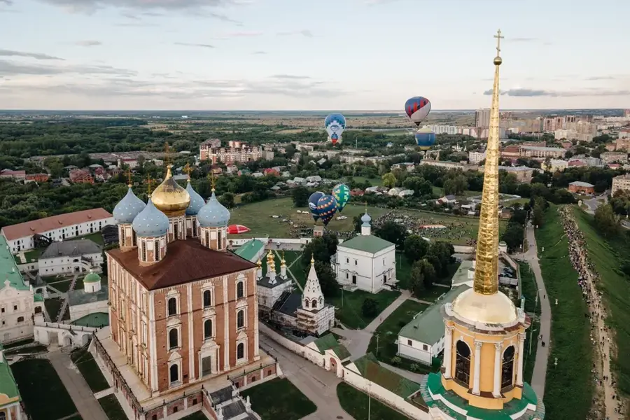
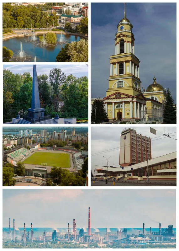
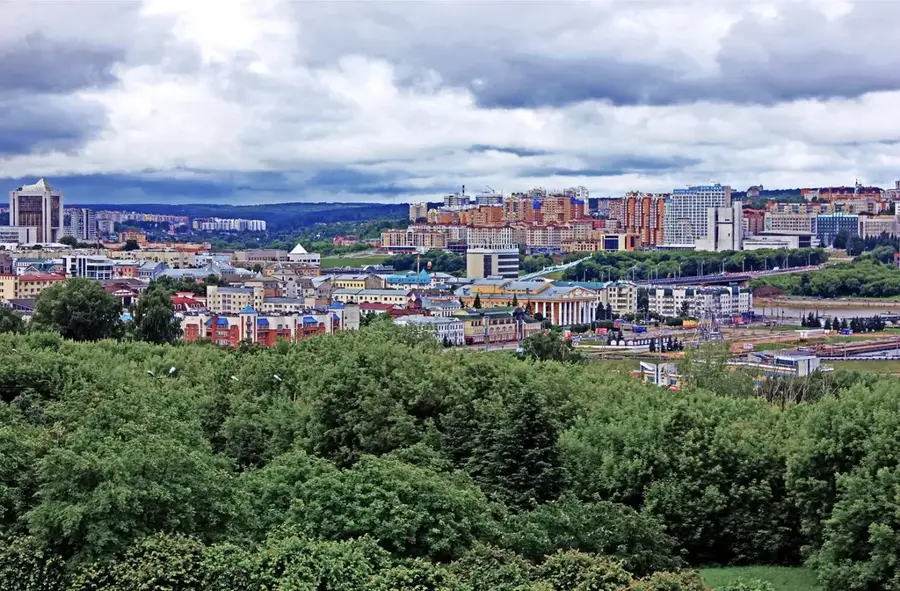
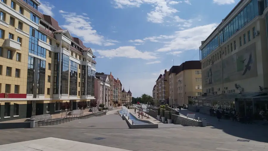
Nearby cities